Monday, August 19, 2013

Eastern Sierra & Bodie Hills – August 2013


please remember you can click on a photo to see a larger version


Yeah, we know. It seems we just cannot stay home. The Lady is back to school and the kids are back. It is proper to ease back into the teaching schedule with a necessary outdoor break over the weekend.

The truck was packed and ready to go when the Lady got home late Friday afternoon. You guessed it; we dined in the garden setting at Walker Burger for supper. It was still light when we reached Ted’s Dunderburg campsite.

The area was fairly busy, busier than we’ve seen it in the fall, with a polished small airstream a short ways in. It was perched on a high point for the commanding view. A cabover truck camper was tucked into the trees further in. And somebody was in Ted’s spot!
“What’s with this?” I said, “And they’re not even in a pop up camper!”
This, in my mind, approached sacrilege. I wanted to call Ted, get him up here, and roust these people out. The Lady wouldn’t let me.
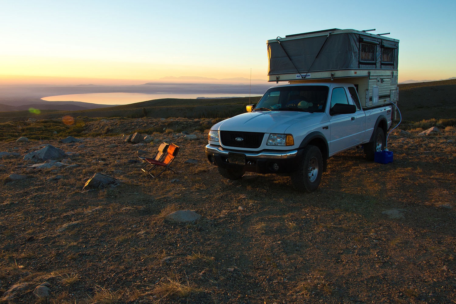
“I’ve always wanted to camp lower down on the point in the open,” the Lady explained. “Let’s go!”

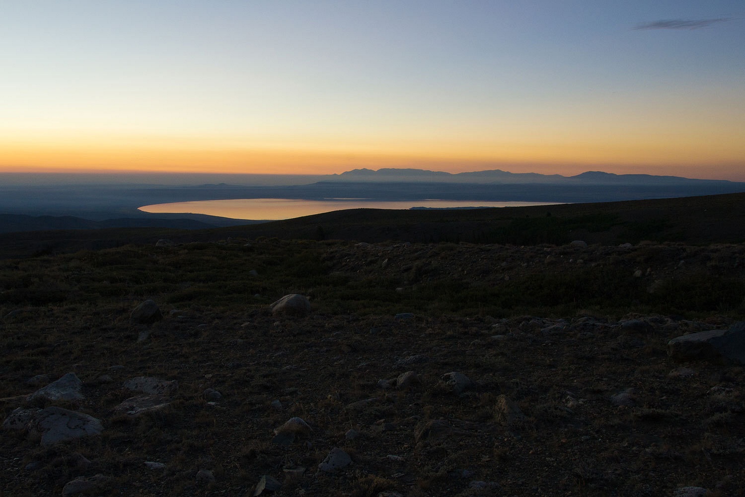
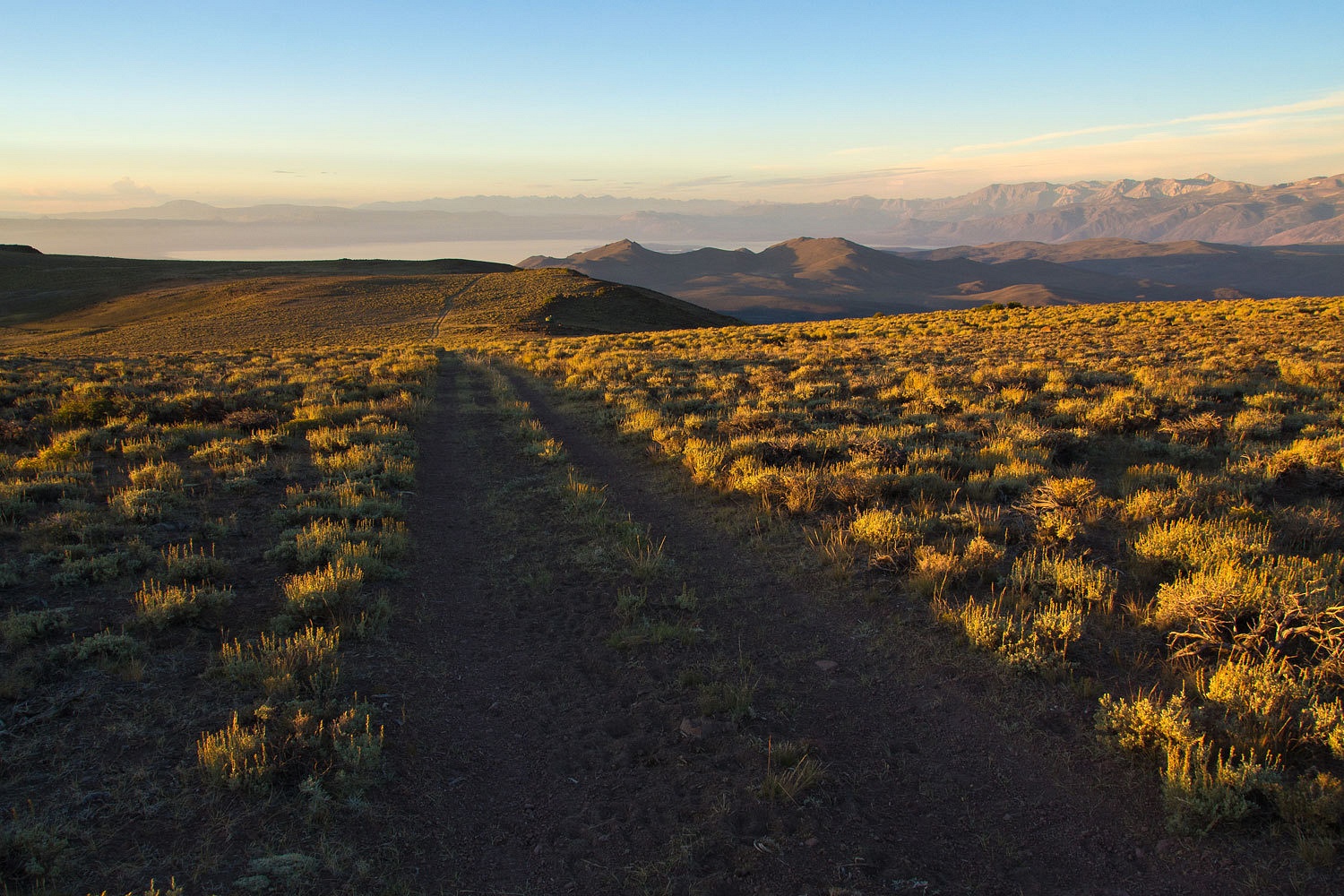
The spot was wonderful and out of sight of other camps. We sat out and enjoyed the evening and the expansive views. Morning was even better, except for the layers of smoke from this summer’s onslaught of wildland fires.

Mono Lake before dawn.


Northwest toward Bridgeport and the Bodie Hills to the right.


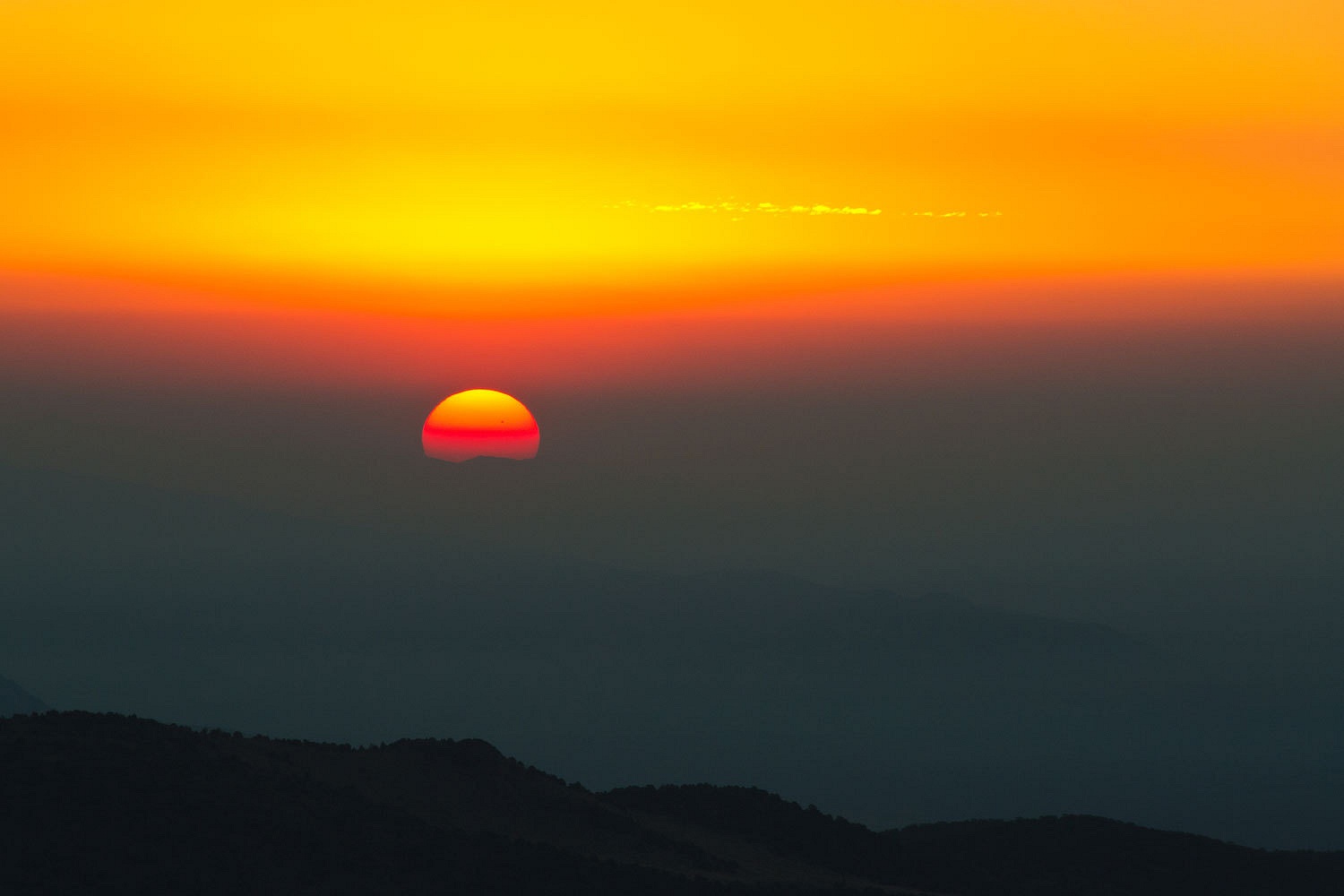
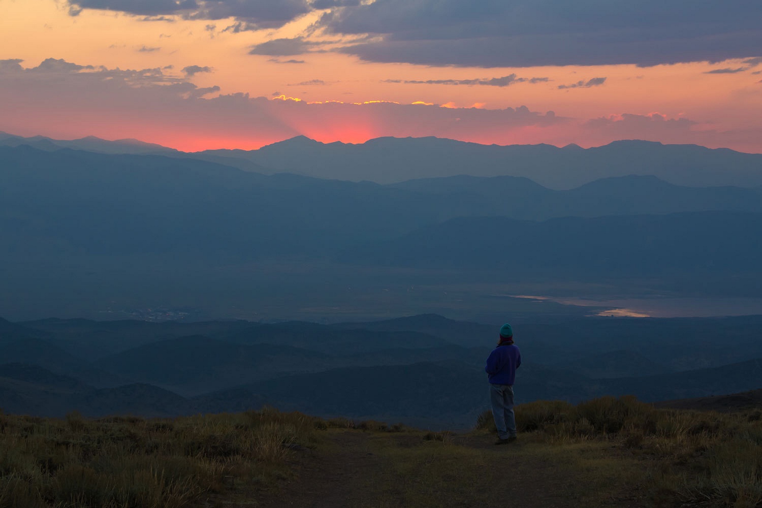
The sun rose out of the smoke to signal the day’s beginnings.


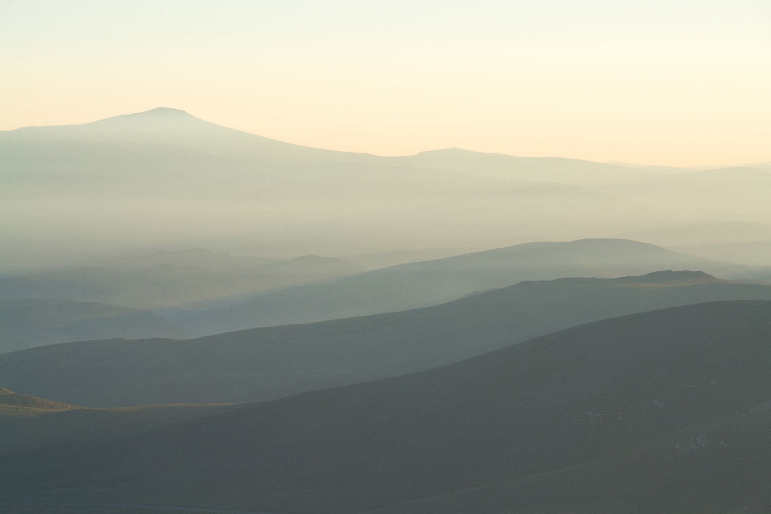
It also illuminated the layers of smoke that had laid in overnight.


On Saturday we wanted to check out Jordan Basin to the south. We had seen the signed turnoff onto a primitive road many times. MarkBC’s trip report on Wander the West from his visit last fall also called our attention to it. We had our topo maps and navigated our way around the area. We found Jordan Springs.


We discovered the eastern highpoint that offered views down into Lundy Canyon and also the expanse of Mono Lake to the east.


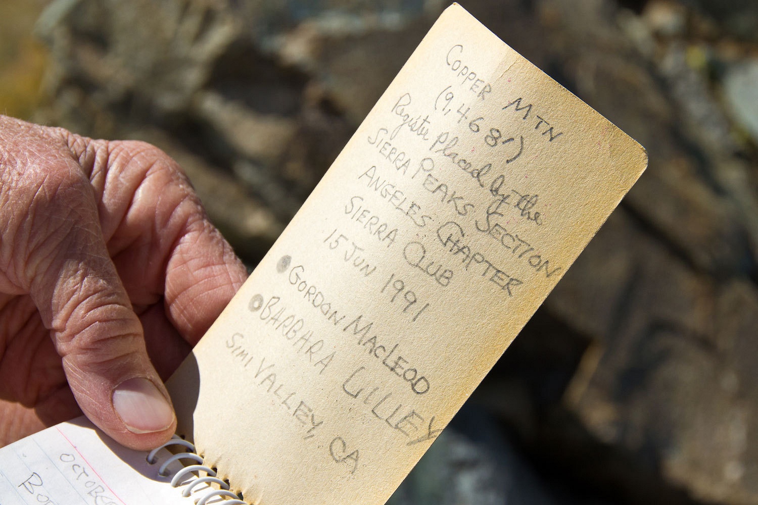
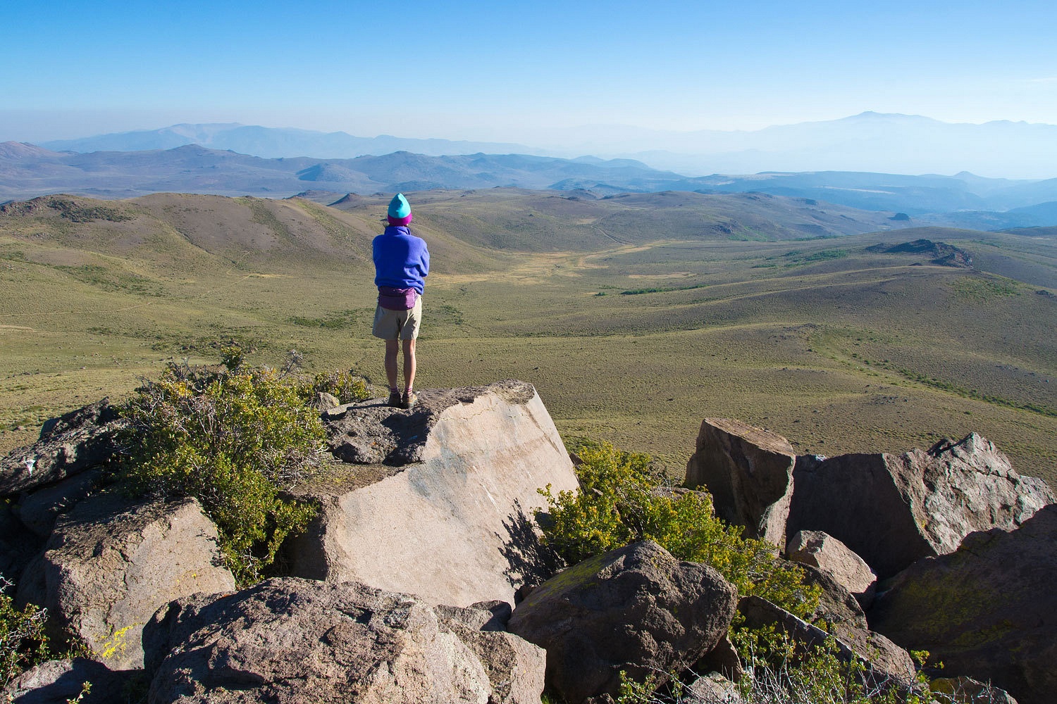
Copper Mountain’s summit was a short hike.


It offered a wonderful panorama of Jordan Basin with Dunderburg Peak to the north and upper Lundy Canyon to the south.


We further explored the basin and learned as many of its secrets as we could. Because of clouds coming up the Sierra Crest from the south, we decided to head over to the Bodie Hills to spend the night.

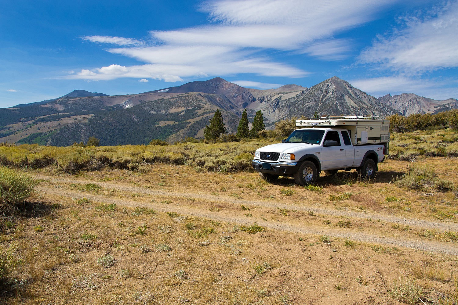
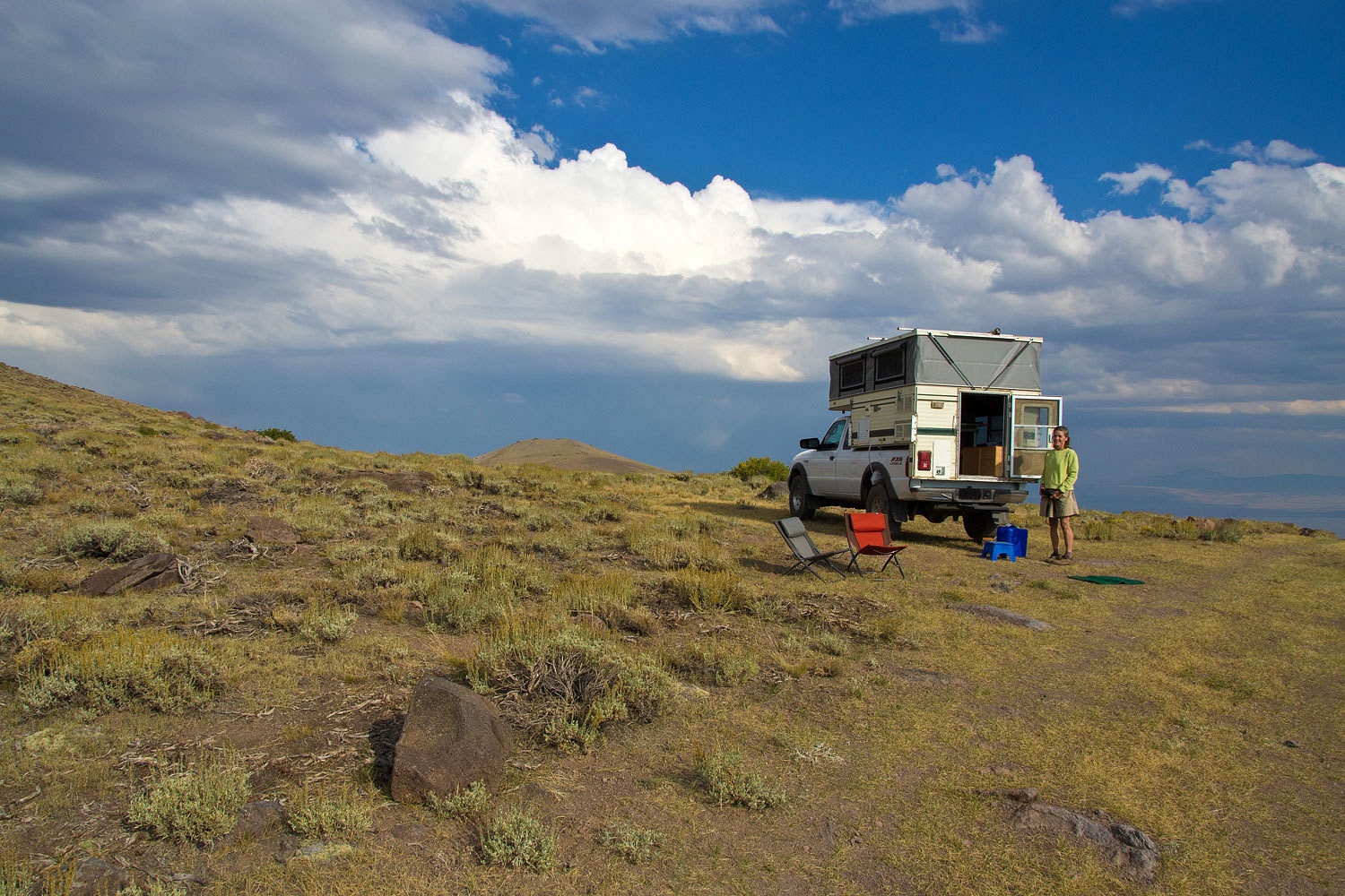
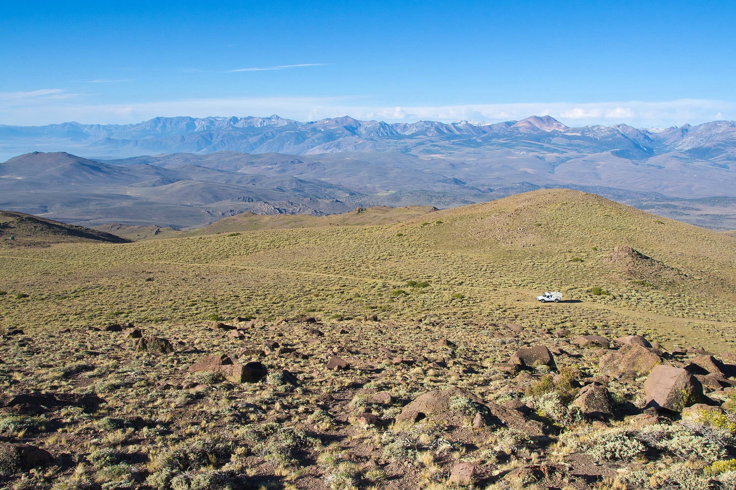
On our last trip to the Bodie Hills we discovered a rough four wheel drive road that gave access to a saddle just to the west of Potato Peak’s summit. At 10,000 feet it also offered an amazing view of the surrounding area. We set up camp.


A line of thunderstorms was approaching this area from the southeast and east. It looked like it would skirt us to the east but it then moved into the East Walker Canyon and moved over Bridgeport and continued south. It had circled our highpoint. We sat in our chairs and watched spectacular lightning strikes. We counted after each bolt of light. The main storm activity remained 3 to four miles away. It did back a bit in our direction and a smattering of rain drove us inside. Another large storm developed just east of Bodie. Flashes and booms of thunder came repeatedly from that direction. We expected we may take part in a science experiment to test out the idea that vehicle tires offer enough isolation from a lightning strike ground.

The rain passed and we ventured outside. From our highpoint two new lightning strike fires were visible.


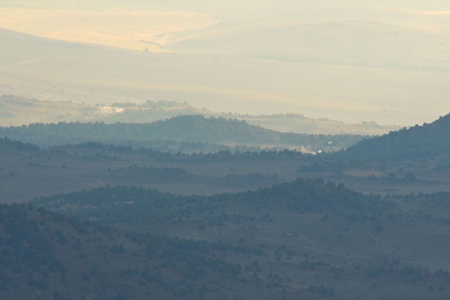
We grabbed a compass, binoculars, camera, and cell phone. I took a bearing with my handheld compass. Surprised there was cell service, I called 911, was routed to fire, and reported that the fires were on a line 243° from Potato Peak, that would put the fires just east of 395 and Willow Springs, in the lower Bodie Hills, in juniper and pinyon,  A half hour later a helitac crew responded and started in on the small fires. The helicopter can be seen just to the right of the smoke furthest right.


The storms were breaking up as evening came on.


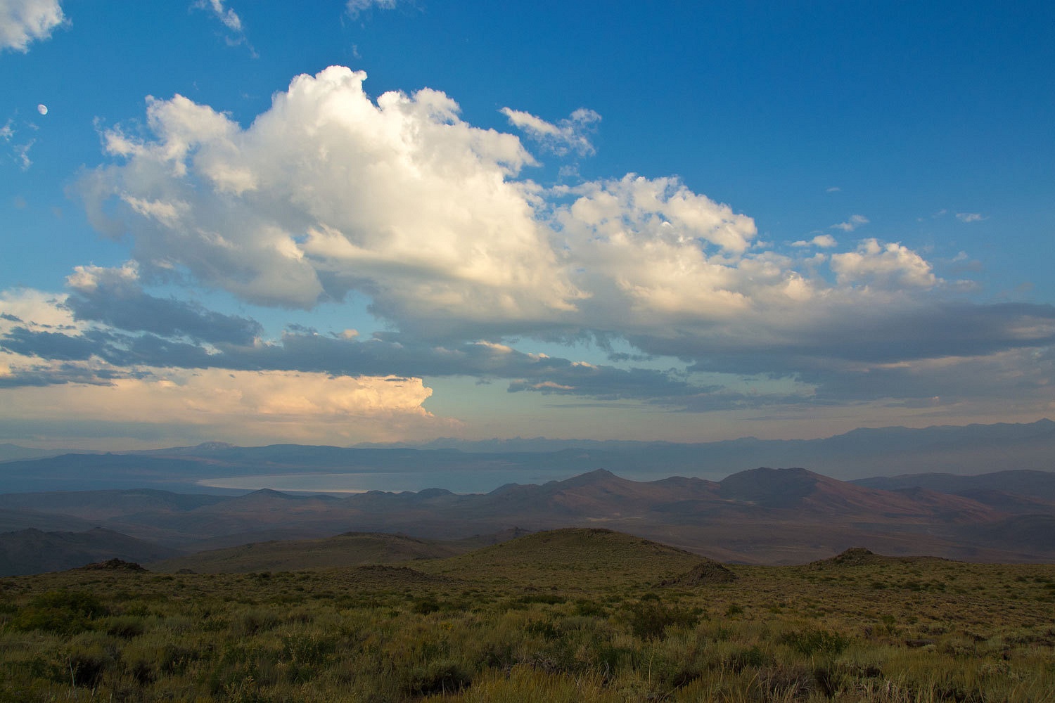
Mono Lake was to our south.


These storms also ignited a fire to the east of Bodie that was not spotted until Sunday morning. The Spring Peak Fire threatened Bodie and the state park and roads were closed most of the week.

We enjoyed a long walk in the evening.


The air was still hazy with smoke the next morning but this still was a great spot to wake up.


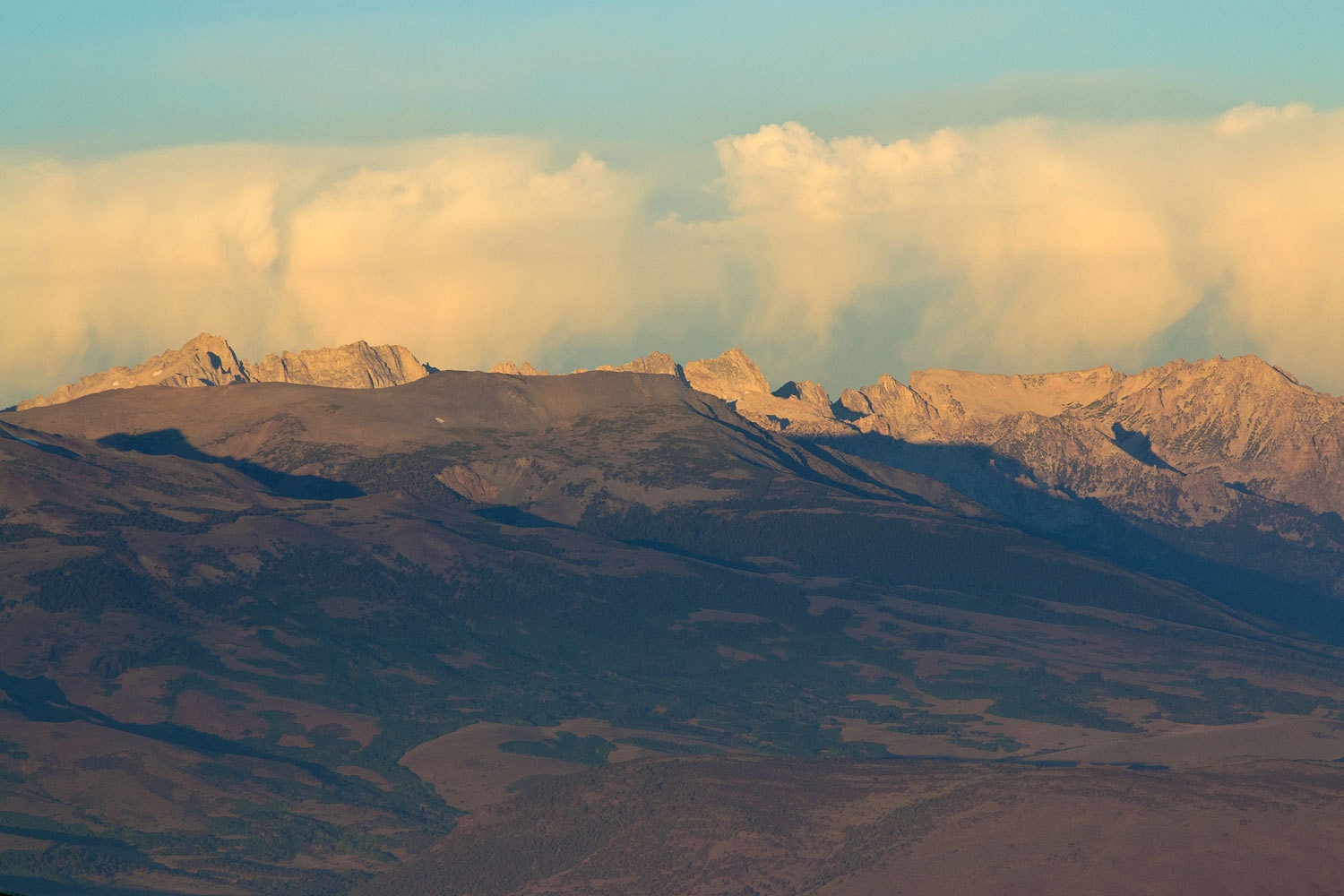
A line of thunderstorms was already active just west of the Sawtooth Ridge and the Sierra crest.


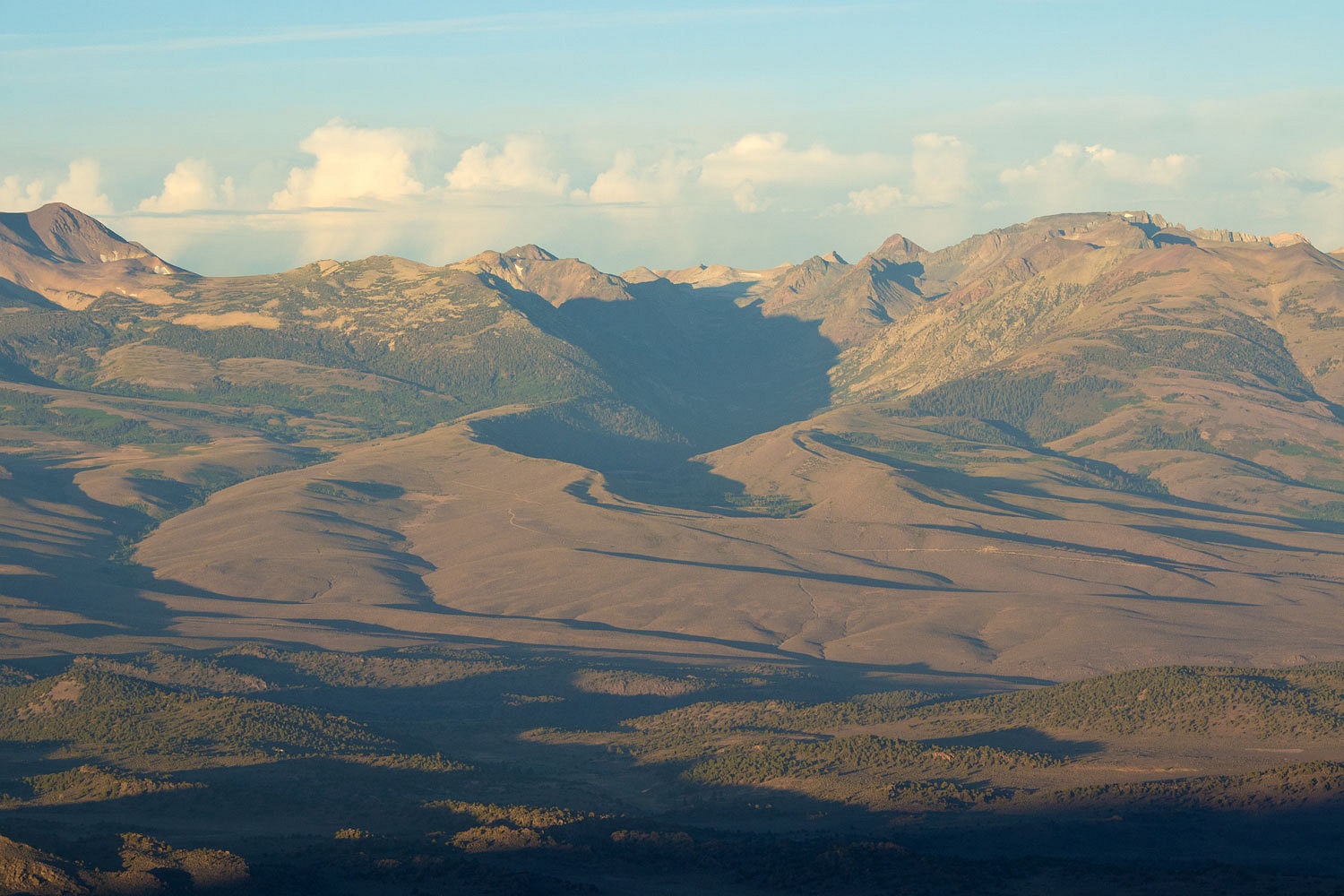
From our vantage point the Green Creek drainage was an incredible illustration of glacial moraines and a glacially carved canyon.


We buttoned everything up, dropped the top, and went to the top of Potato Peak for the morning view to the east………………..


…………………..and to the west and our high lonely spot.


It had been another adventure.

Monday, August 12, 2013

Summer Trip - July & August 2013 - Part Seven


please remember you can click on a photo to see a larger version

 We had crossed over into Utah on old US 666, the highway of the antichrist or the “Devil’s Highway.” I had always wanted to drive this cursed highway and, wouldn’t you know, by the time I get the chance the number has been changed. The Lady was navigating again. “When we get to Monticello, what direction are we going?” she asked.
“Want to go through Moab again?”
“No!”
“Well, then we’re heading south to Blanding and then after Blanding we’ll head west on 95.”
The Lady studied the map. “Natural Bridges! That will take us past Natural Bridges. Can we…………….?”
I already knew what she was thinking. A few years back on a spring trip we had hiked down from the loop road to each of the three bridges. We saw there was a trail that followed the canyons and took you to each bridge. It was unmaintained and looked to be seldom used. “You want to do the loop trail in the canyons, don’t you?”
She smiled, “We can can’t we? I wonder if the little campground would be full.”
“We’re about an hour and a half away after we stop for gas. We’ll find out.”
“This’ll be fun!” The map was tucked back above her visor. The decision was made.


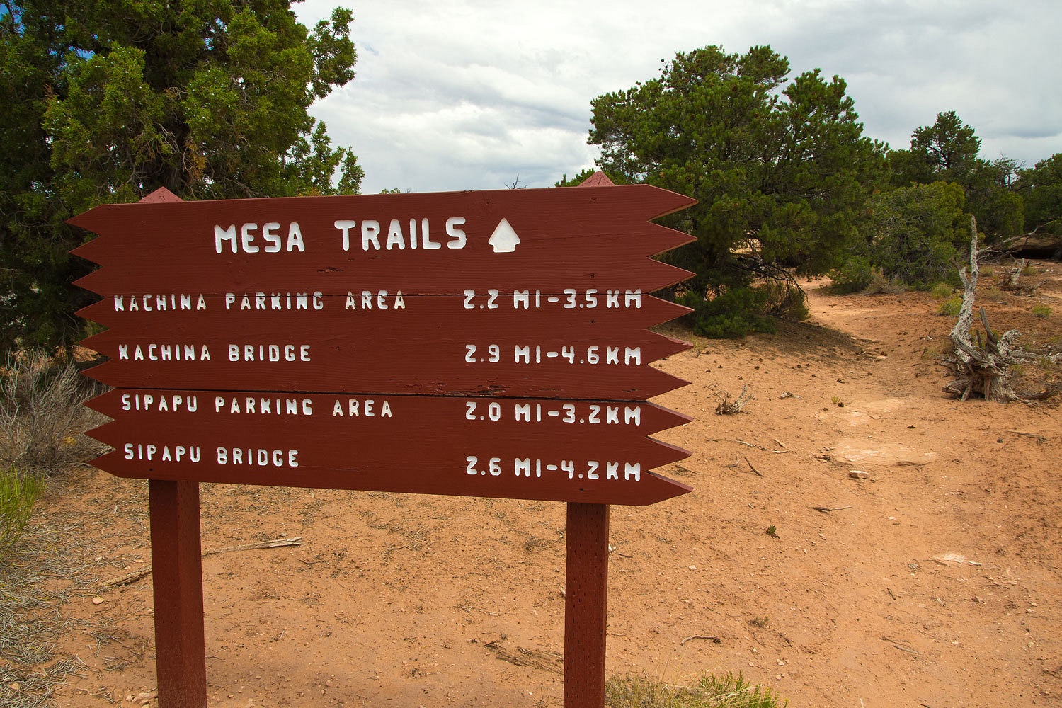
After we settled in camp (only two other sites taken but the small campground filled by dark) we relaxed in the heat, walked over to the visitors center, and wandered down the loop road to the picnic area. Since starting from the campground would add about four uninteresting miles, we decided we’d pack up early and drive down to the Sipapu Bridge Trail parking and do the loop in the cool of the day and hike back to the truck across the mesa. With a couple of small extra things we had planned, that would be around 10 miles. We would be back to the truck around one pm and head on down the road. We enjoyed a quiet night after one of our neighbors noticed the notice on the campground sign about generator use.

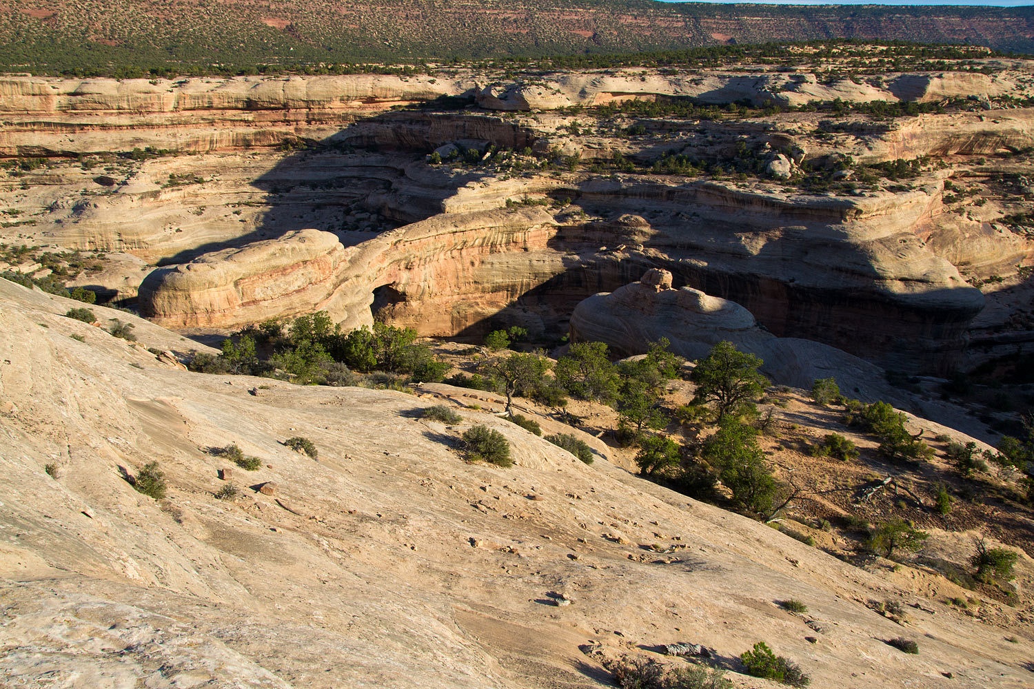
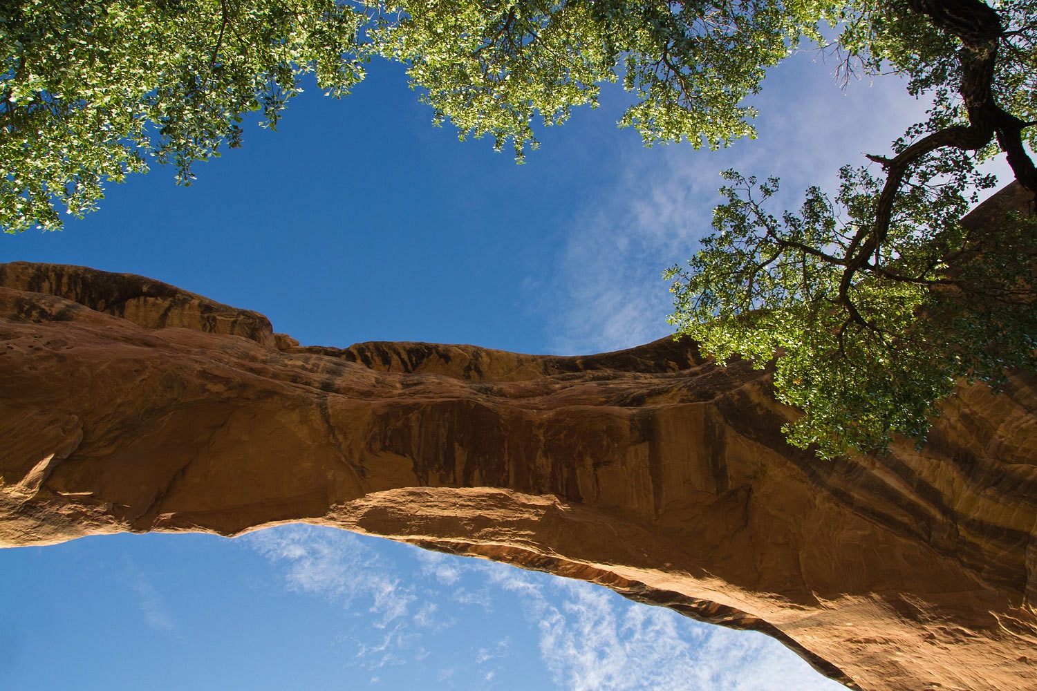
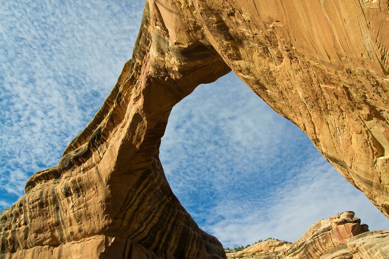
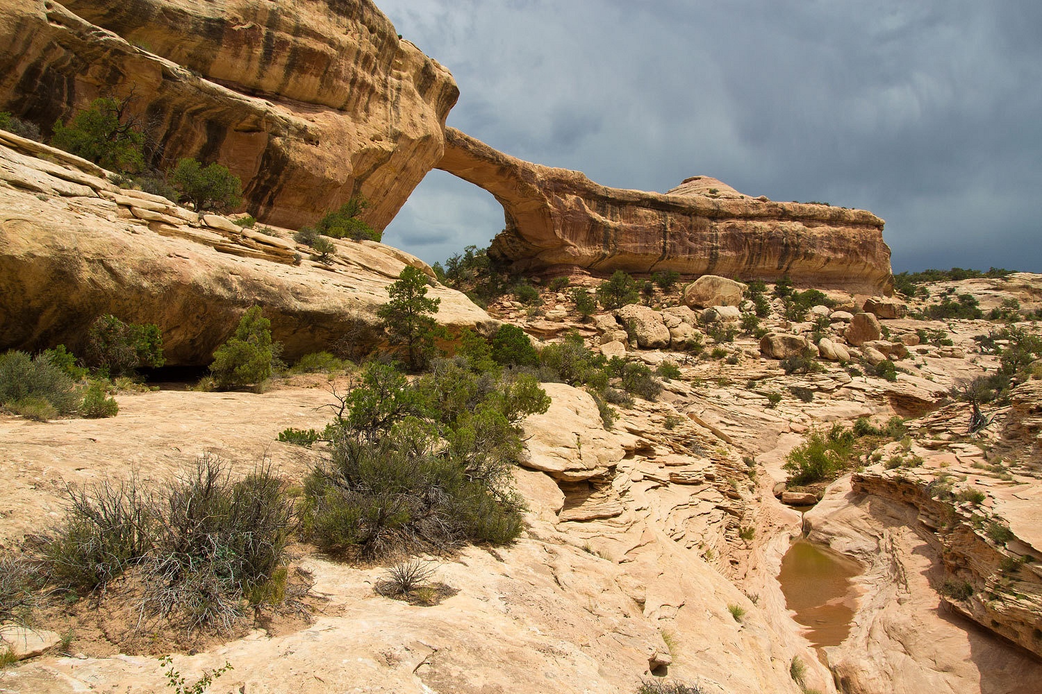
The next morning the parking lot was empty as we started down and saw the familiar sight of Sipapu Bridge.


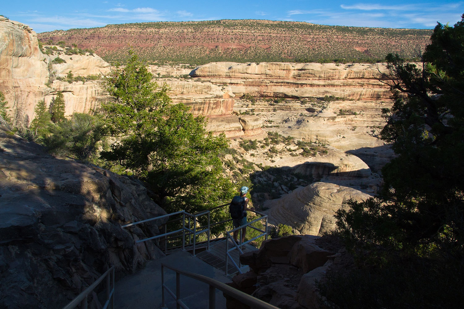
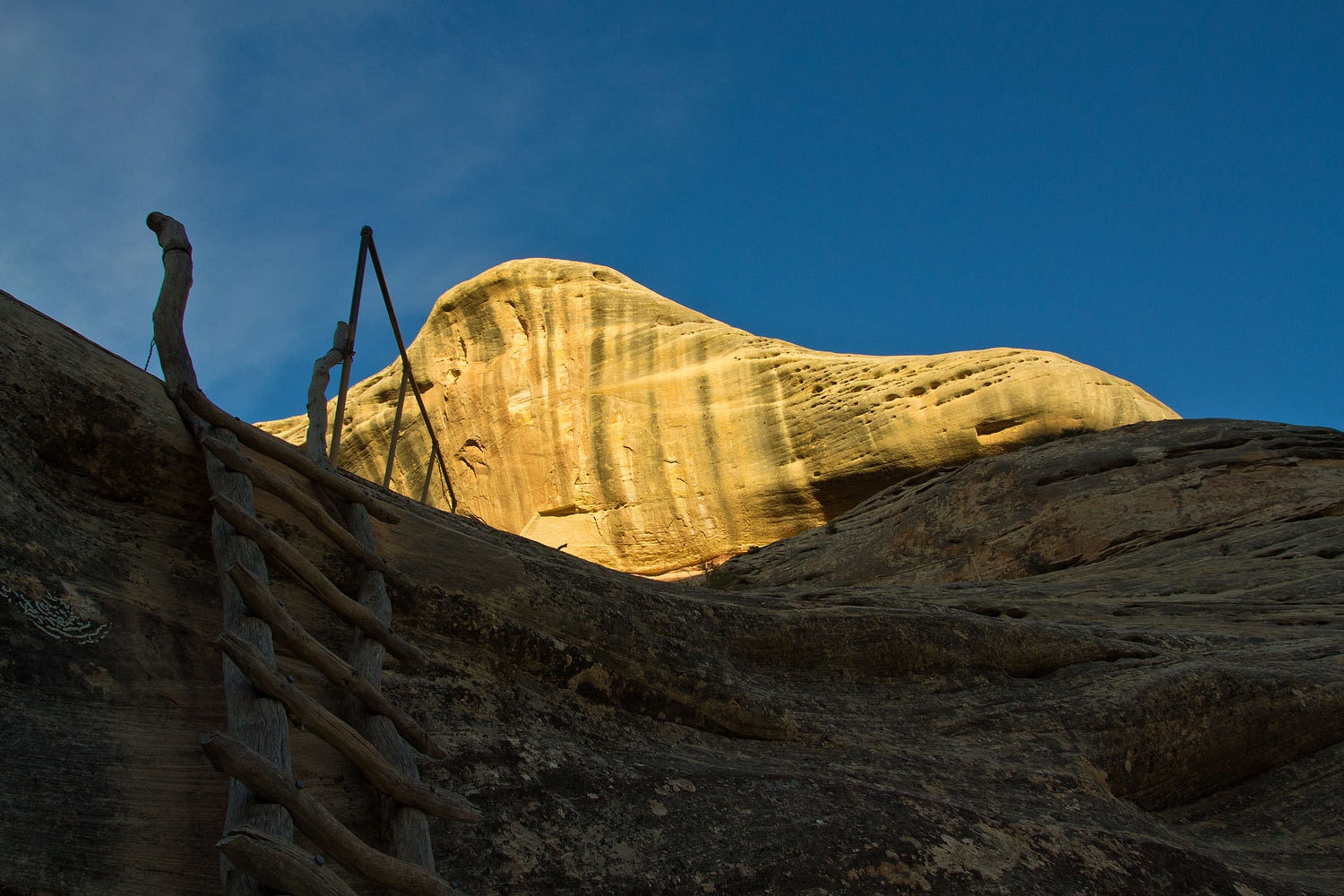
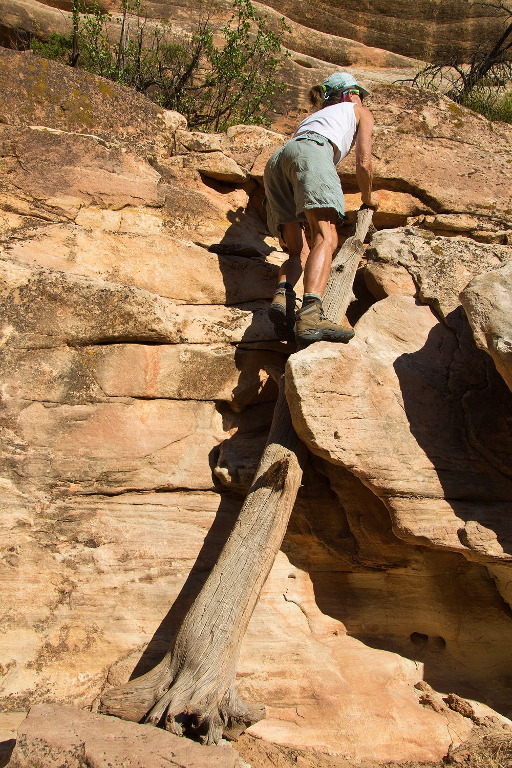
To get hikers safely down the vertical faces stairs and ladders are installed.


The Turkey Vultures were still in their roosts and warming themselves in the early morning sun.


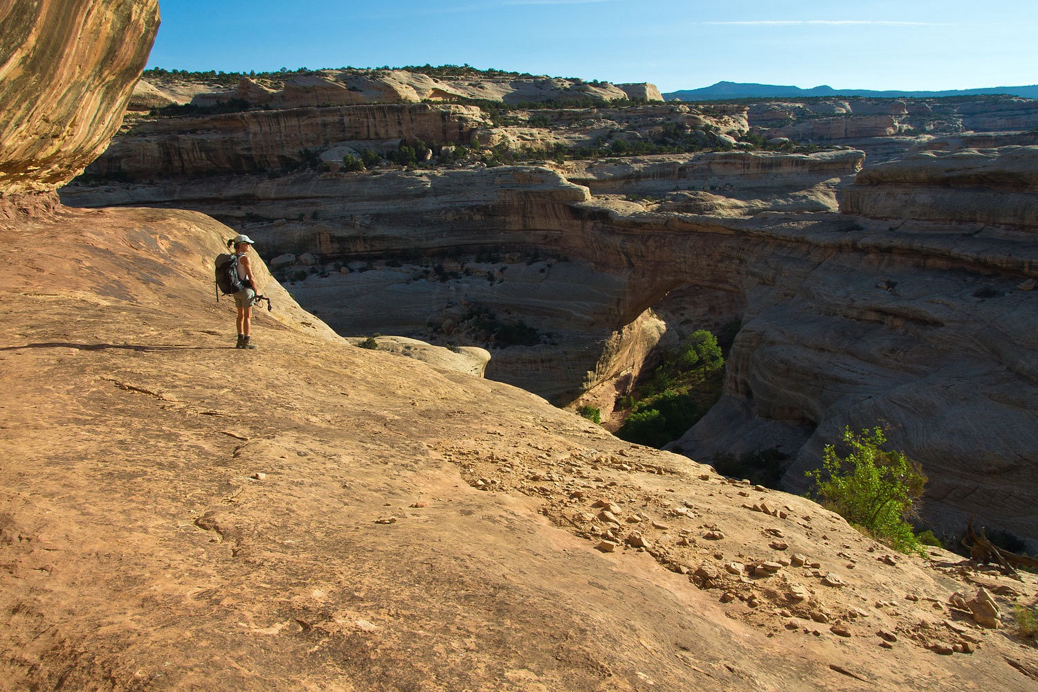
The views are wonderful along the route.


Soon we were under Sipapu Bridge.


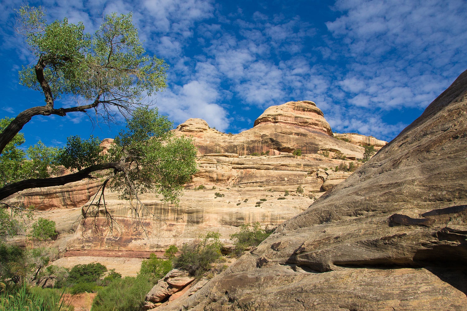
We headed down canyon. It was wonderful in the cool shadows, us, alone, with the canyon walls above.


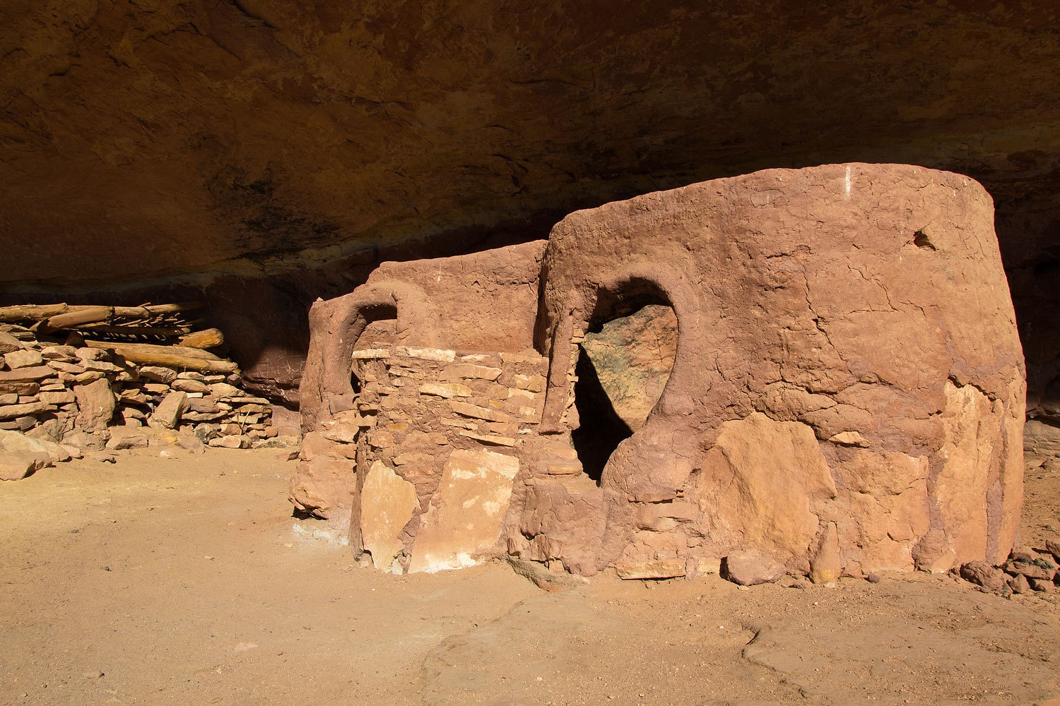
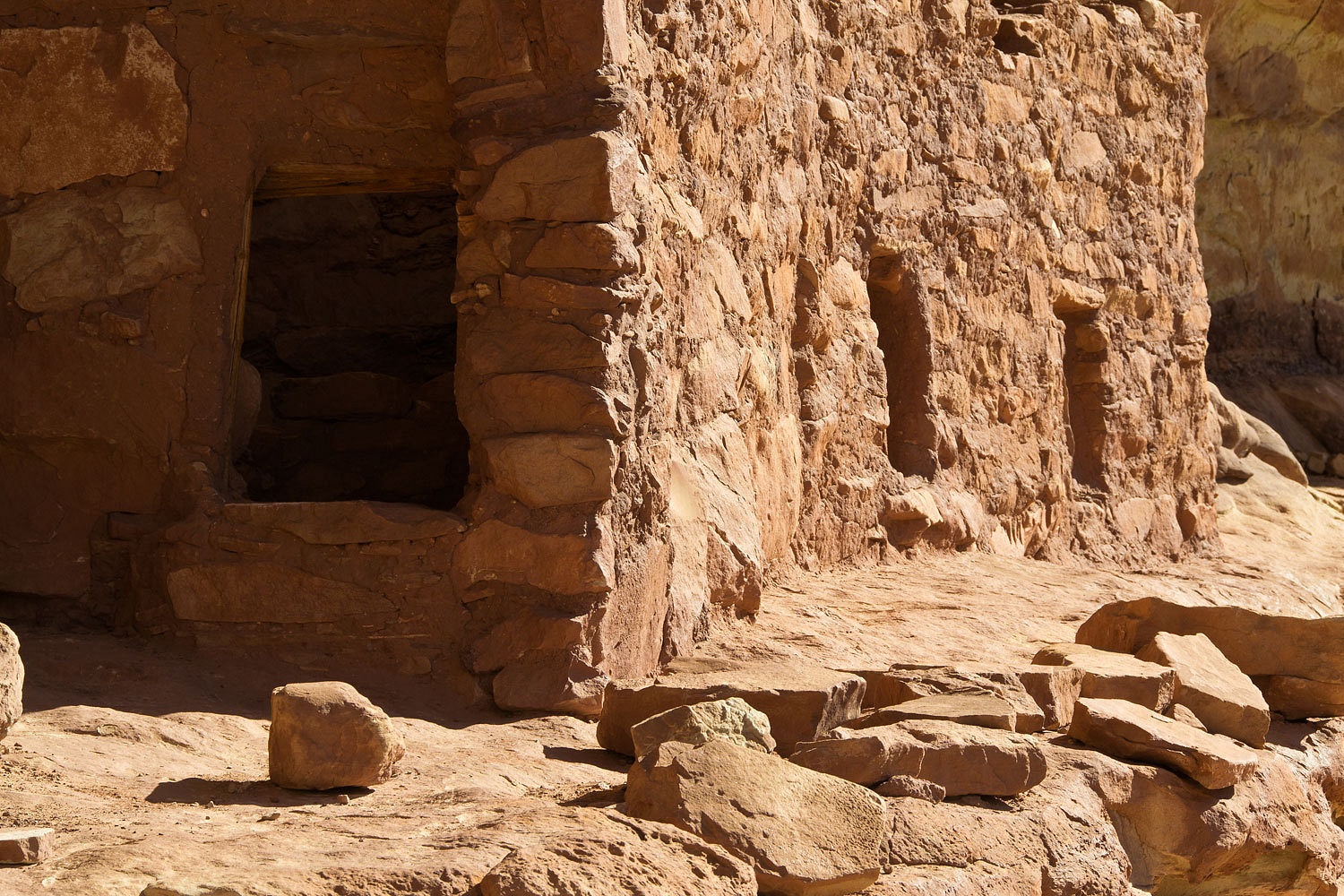
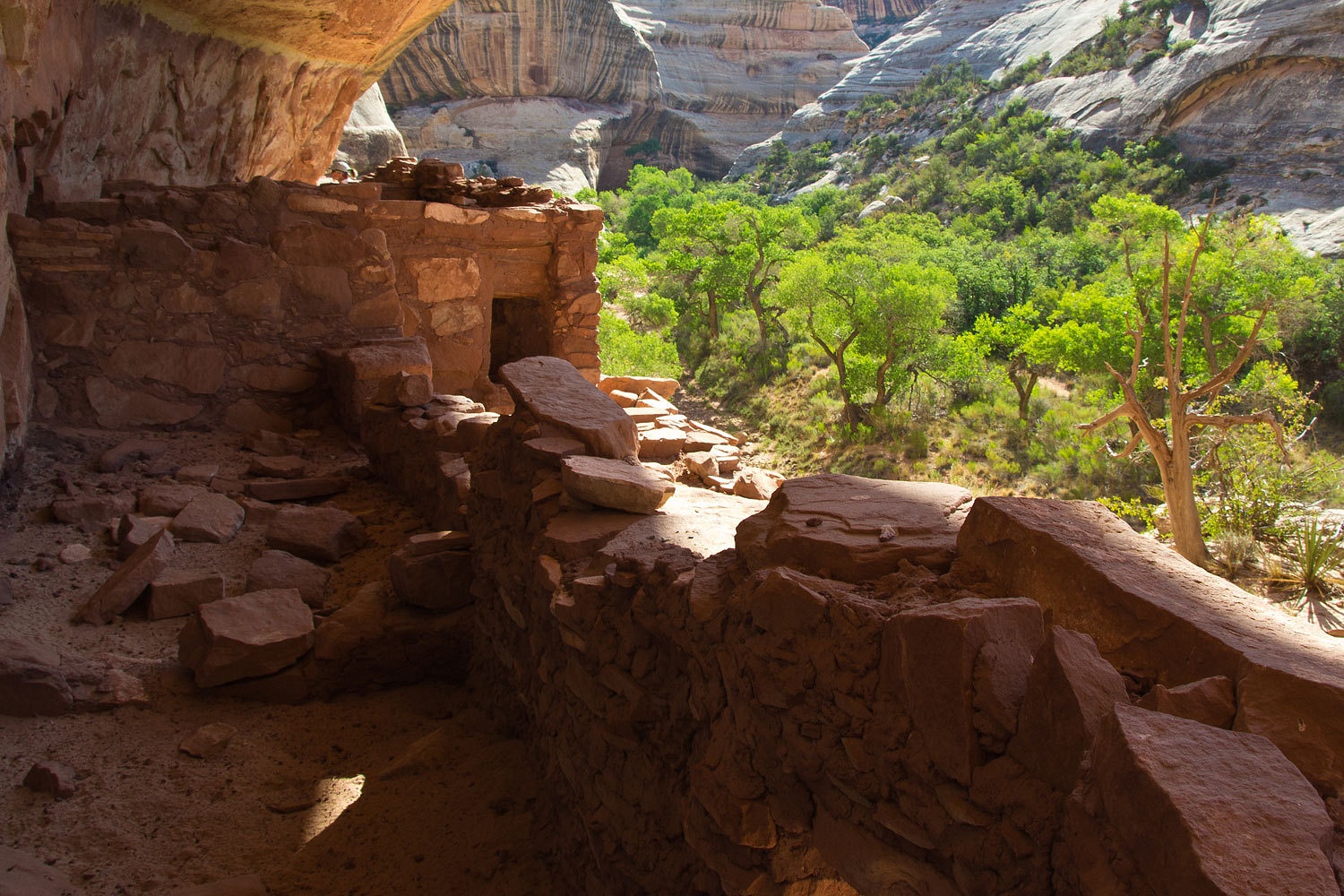
The Horsecollar Ruins appeared, tucked in an alcove.


We found the ladder that provided access up the vertical wall.


We felt the need to be quiet and respectful. We felt privileged to be able to be here.


The riparian zone in the canyon bottom held wonders to be discovered.


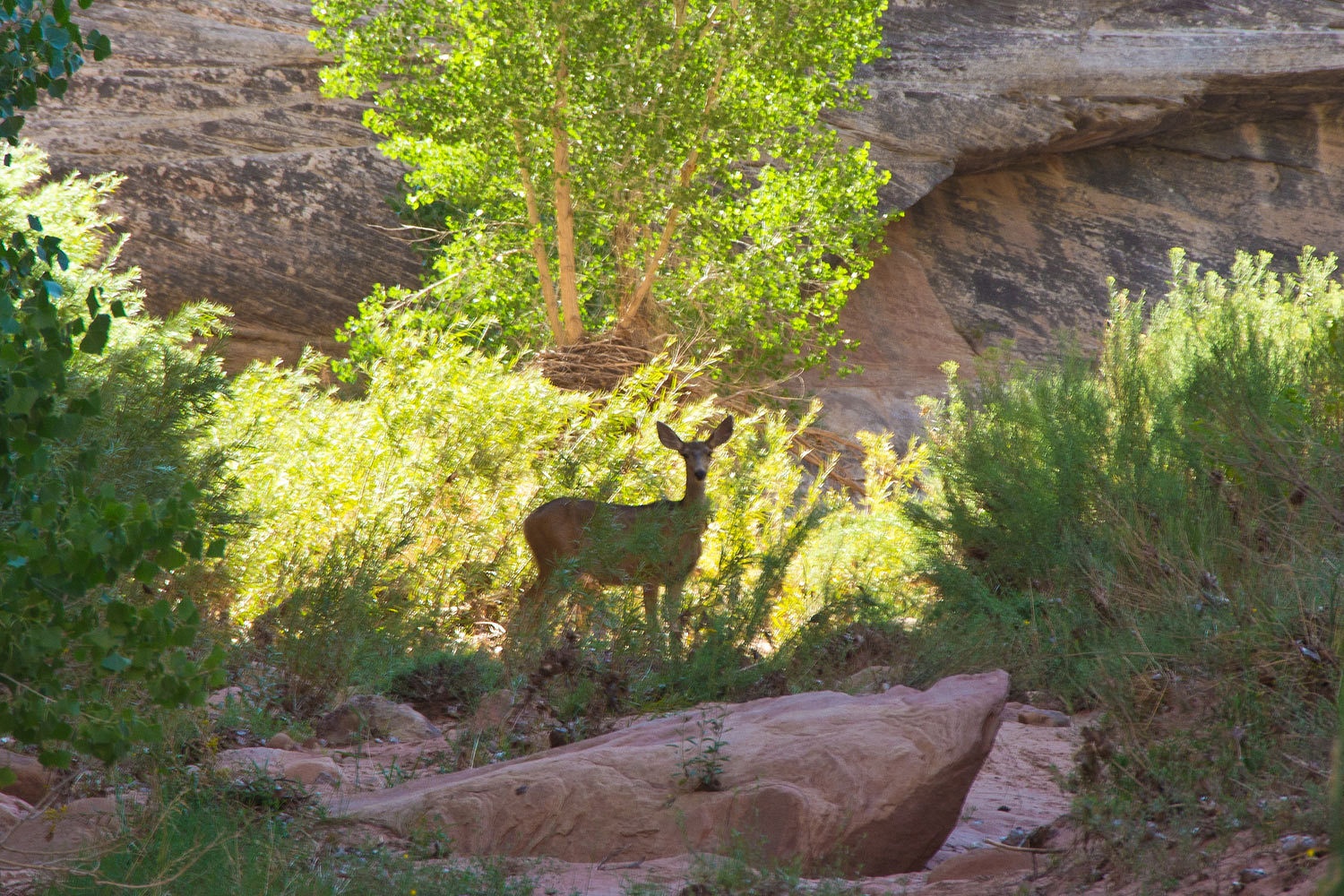
There was the feeling that we were always being watched.


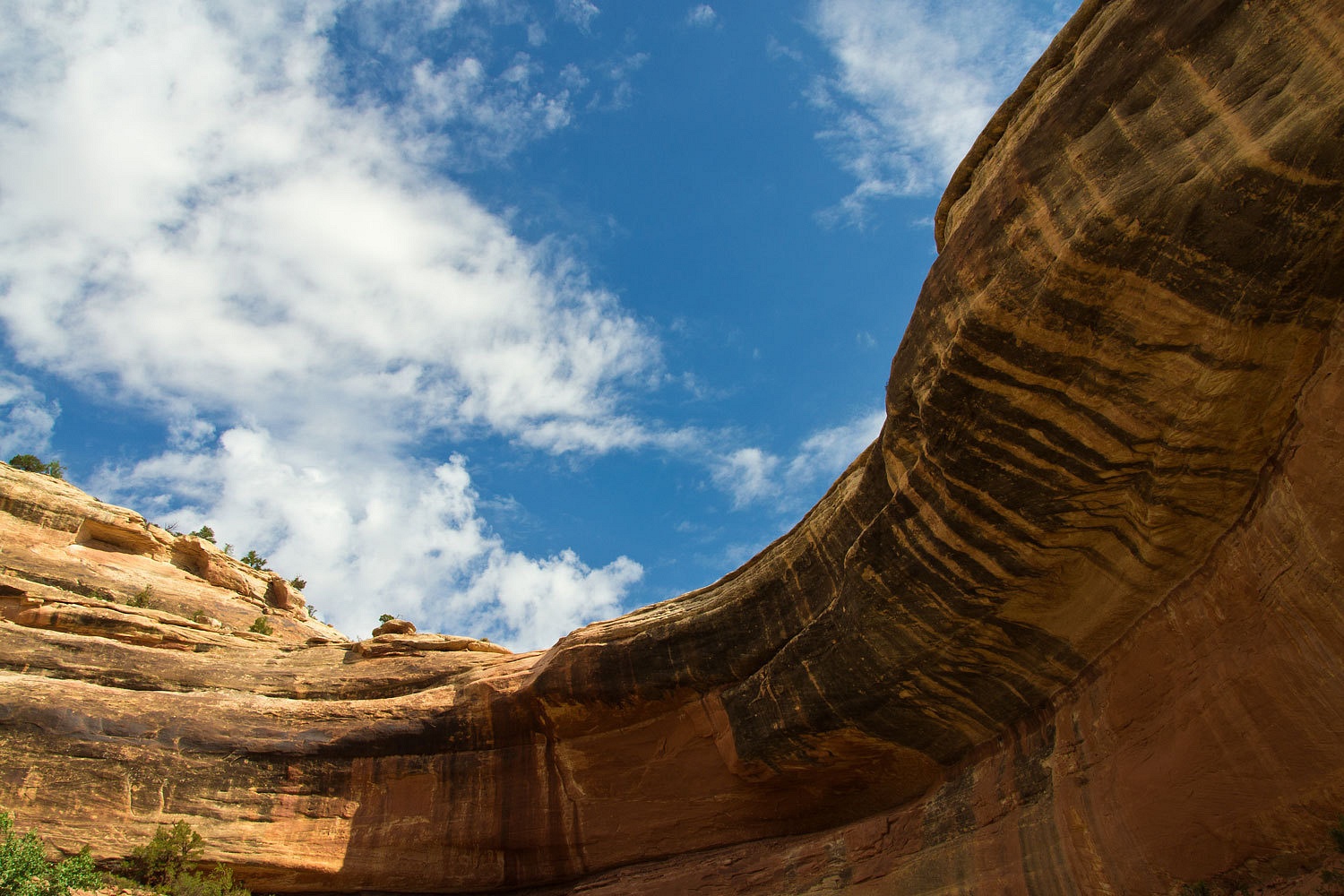
The canyon was beautiful this morning.


We arrived at Kachina Bridge.


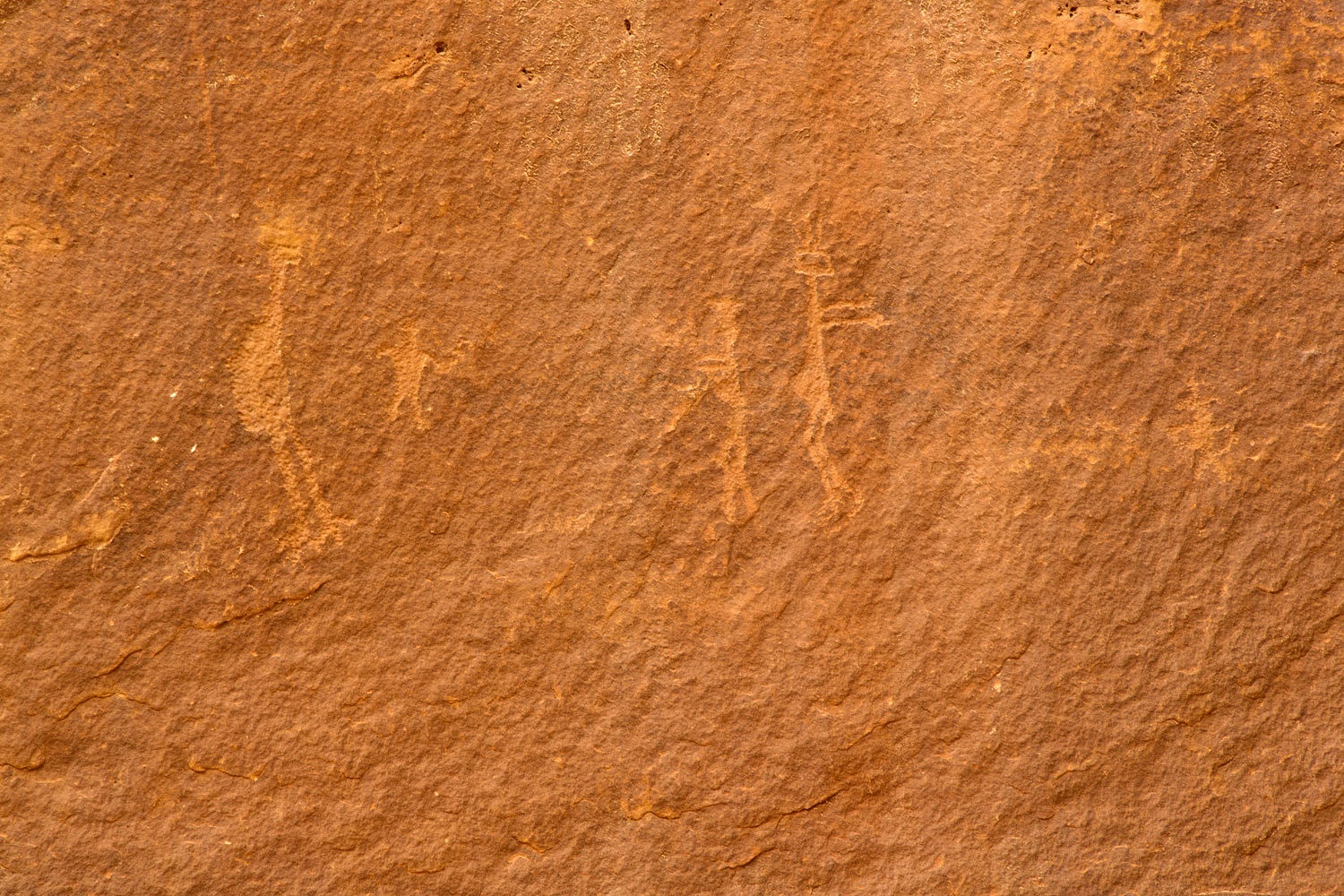
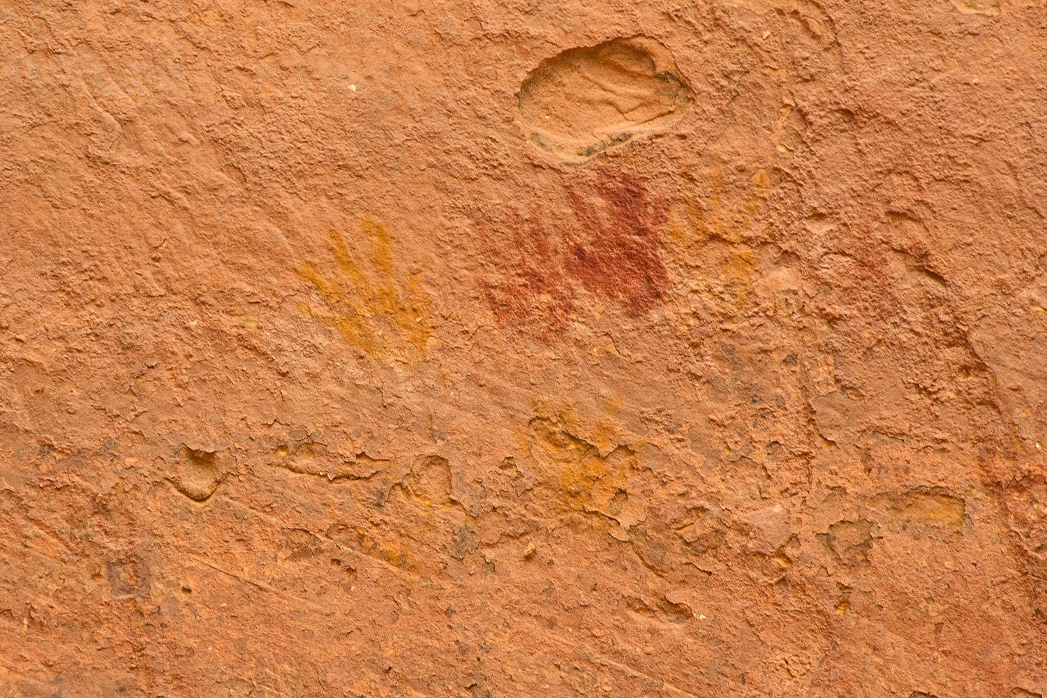
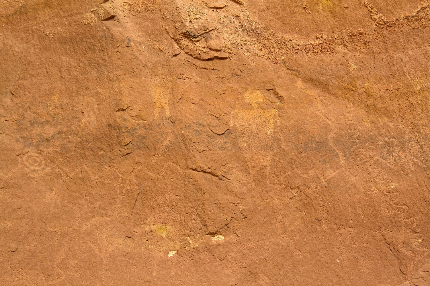
I had heard there was ancient rock art in the area, both petroglyphs and pictographs. We poked around as we relaxed.


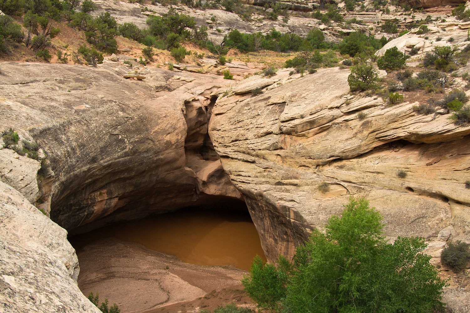
We passed Knickpoint Pour Off as we left White Canyon and started up Armstrong Canyon.


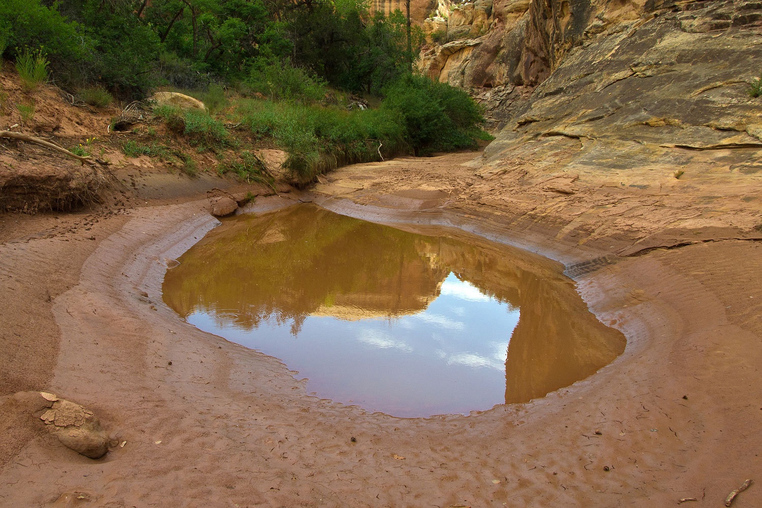
It was evident that Armstrong Canyon had recently been flooded. Many sections of the trail had been obliterated.

Although the morning had started with blue skies, it was now heavily overcast and was spitting rain. This canyon is not a slot and has ample opportunities to escape above the flood zone. It rained enough that we pulled out our rain gear and put our rainflies on our packs. The camera got stashed inside also which was okay because there was a little bushwhacking involved making it through to Owachomo Bridge.


We met people who had walked down the trail from the loop road to Owachomo, the first we had seen all morning. This trail is the best way to explore Natural Bridges National Monument, although we’d really recommend doing it in the fall and spring when the sun angle is lower and the temps a bit cooler. We found the trail across the top back to our truck.


After a snack at the truck we headed up 95 toward Hanksville. As we started to encounter rigs towing all kinds of watercraft, small, large, and huge, we realized that Lake Foul was near. We recalled all our favorite sections from Running Dry that we’ve enjoyed reading aloud at camp.

Our plan, since it was getting time to make tracks home, was to spend the night at the Capitol Reef National Park Campground in Fruita. That would do for a quick overnight stop. We gassed up in Hanksville and the Lady noticed Blondies, a burger joint. “Want to just get some ‘road food’ tonight, then we can just pop the top, relax, and crawl into bed?”

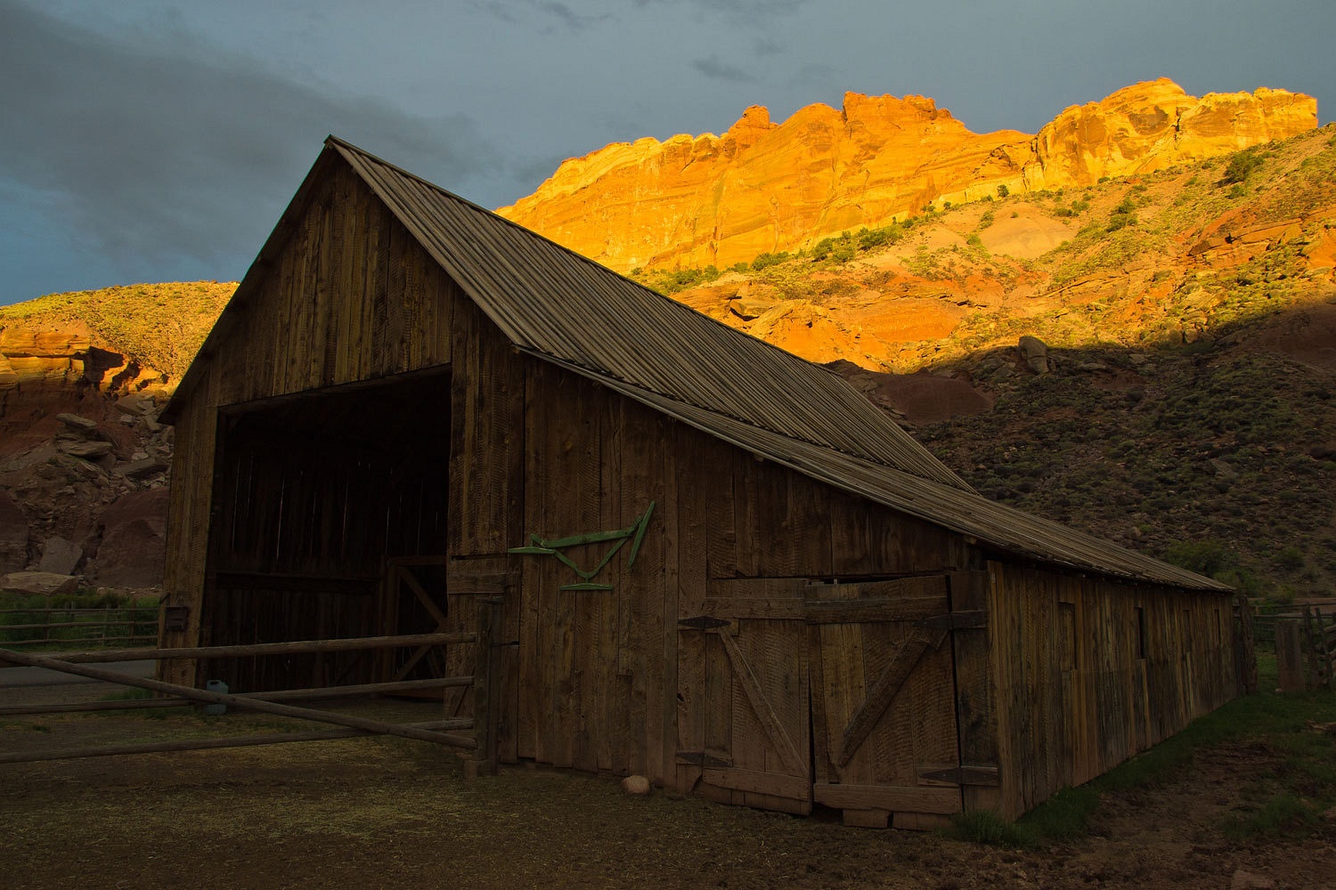
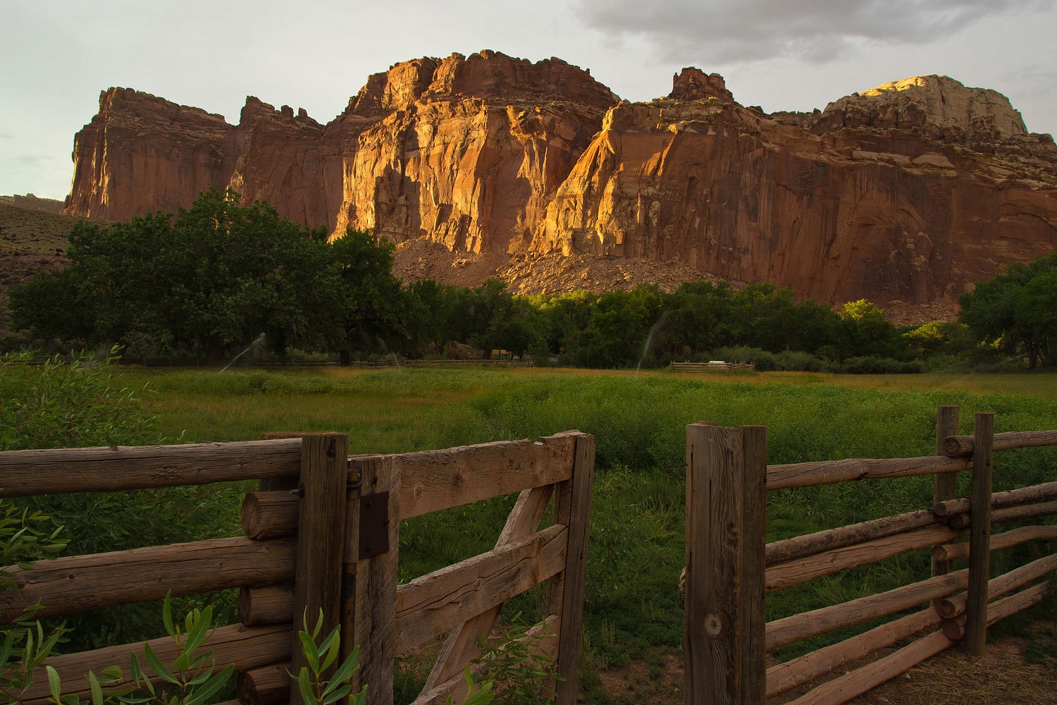
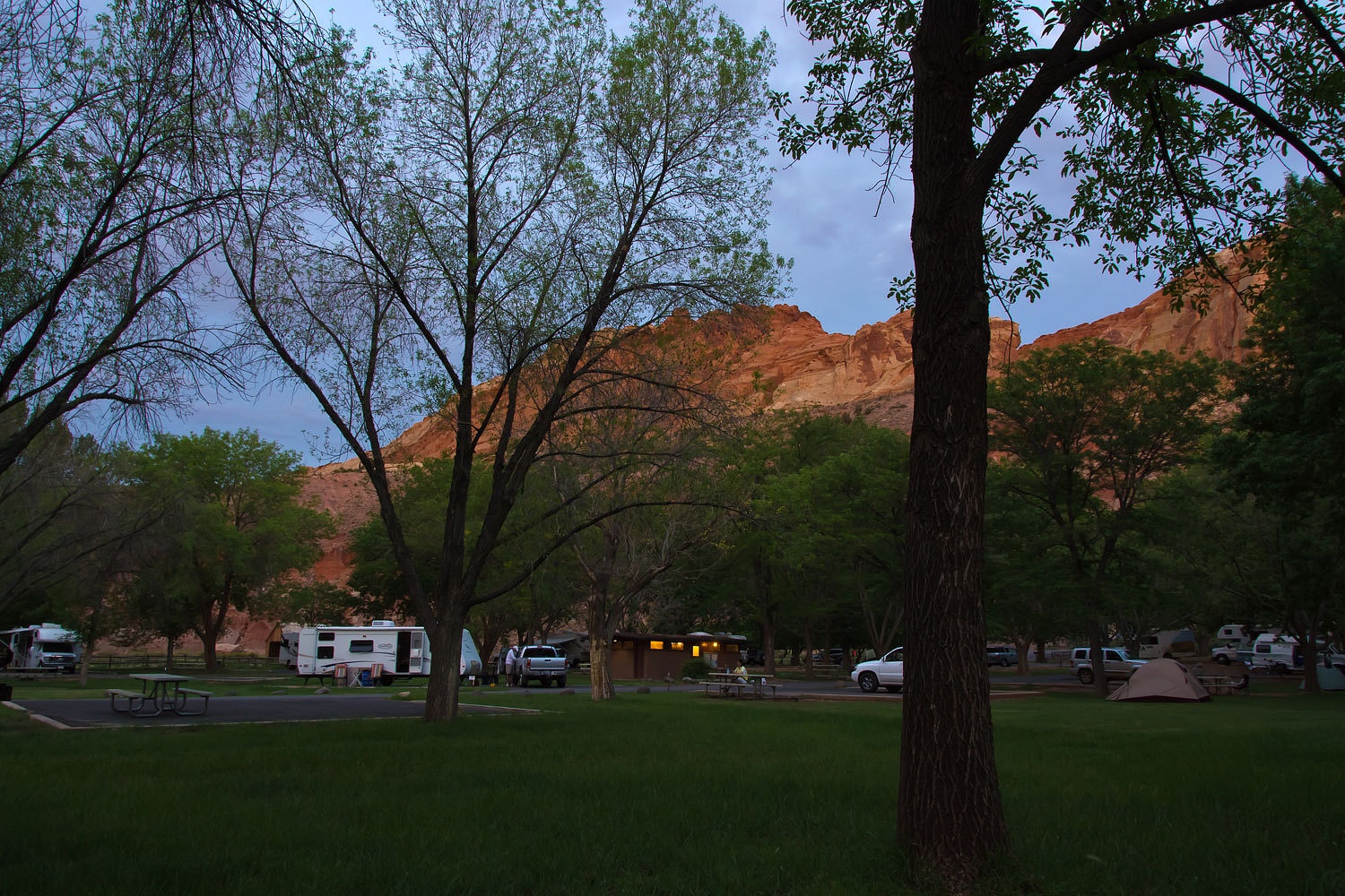
We rolled into Fruita before sundown and found a somewhat bizarre sight. The campground is watered grass like a city park with paved lanes for the campground. Fruita was an old settlement along the Fremont River, a fruit growing area that is now celebrated with its inclusion in the National Park. It looks to be a favorite campground for folks who like a little less “outdoors” in their outdoor experience. I have never seen so many women in white pants. Most folks looked dressed for a suburban backyard barbeque and the setting fit. But, there were many family groups and it was wonderful to see kids turned loose outside just to run and play. A recent thunderstorm was breaking up and the last rays of the sun came through just as the sun set.


The next morning we stopped in at the Visitors Center and I oriented the Lady as to the location of many places we’ve talked about exploring in the future. We drove through Torrey, one of our favorite spots in Utah, and maybe also Utah’s bison capital. Our favorite spot for a soft serve ice cream in Salina had not opened yet as we drove by. Delta was, well it was Delta. 21.7 miles east of Delta our old truck rolled over 100,000 miles. Sacramento Pass, Spring Valley, Steptoe Valley, Ely, Illipah all passed by our windows, such familiar places, old friends.
We rolled into Eureka. On the outskirts an east bound eighteen wheeler had pulled off on the south side of highway 50, braking so hard he locked up the brakes and jackknifed the truck. He was out of the cab, yelling with arms in the air and then stabbing his hand forward, pointing at the deputy exiting his patrol car, overhead lights still flashing. The deputy backed up as the trucker approached.
“My god, that trucker is hot!” the Lady exclaimed, turning her head to follow the action as we passed.
Another deputy had a sedan pulled over just down the long block. Help was close by.

We stopped at the Chevron station. After I filled the tank I walked into the small store and again walked into the middle of a conversation the Lady was in with the woman at the cash register.
“…………………the trucker was hot, yelling and pointing his finger. The deputy was backing up.”
The woman asked, “The deputy, young or old?”
“Young,” the Lady answered.
“That was Jesse. I’ll ask him about it when he comes in for his diet pepsi.”
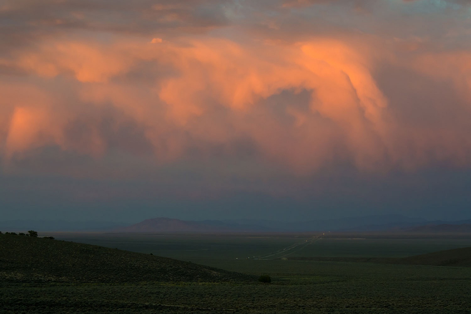
We pulled off of highway 50 in the middle of Nevada, a perfect spot for our last night of the trip. Near sunset we found a lonely spot with a view. Sun was to the west………………………..


……………………..with storm to the east.


We sat together, quiet and alone. We watched the light change.


We reminisced about all the adventures we had had, and the fun, and the laughter. The Lady remembered Stew’s rabbit. I called it Stew’s rabbit but the Lady quickly named it “Four Socks,” a small rabbit with dark fur and four white feet. It had joined us as we finished dinner our last night with Stew along the Cinnamon Pass Road. It grazed on plants around camp, almost disregarding our presence. It checked each of us out but was particularly fond of Stew, stopping to pull on the hem of his green pants, tasting them. Were they edible? “Four Socks, I liked Four Socks,” the Lady said as she looked out into the storm over headlights on highway 50.


We returned home the next day. Everything now has been cleaned up, checked out, and put away. It had been a wonderful trip. We had continuously forgotten what day of the week it was, not a bad thing. But I am left with three questions. When will we return and stand on the top of Sneffels? Will the young woman in Lake City’s beau pop the question? What story did Jesse tell while sipping his diet pepsi?