The
trailhead for Cairn Canyon is Emigrant Wash below the old Emigrant Ranger
Station. After our bumpy drive out Lemoigne Canyon Road. We were ready to hike
as soon as the truck was parked.
The longest
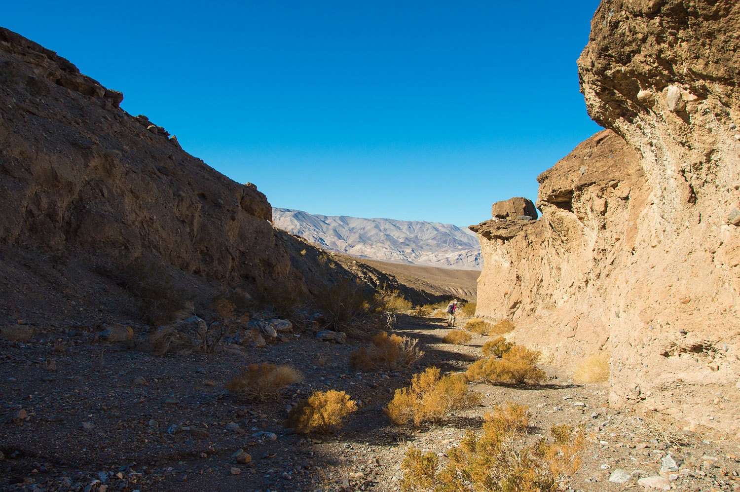
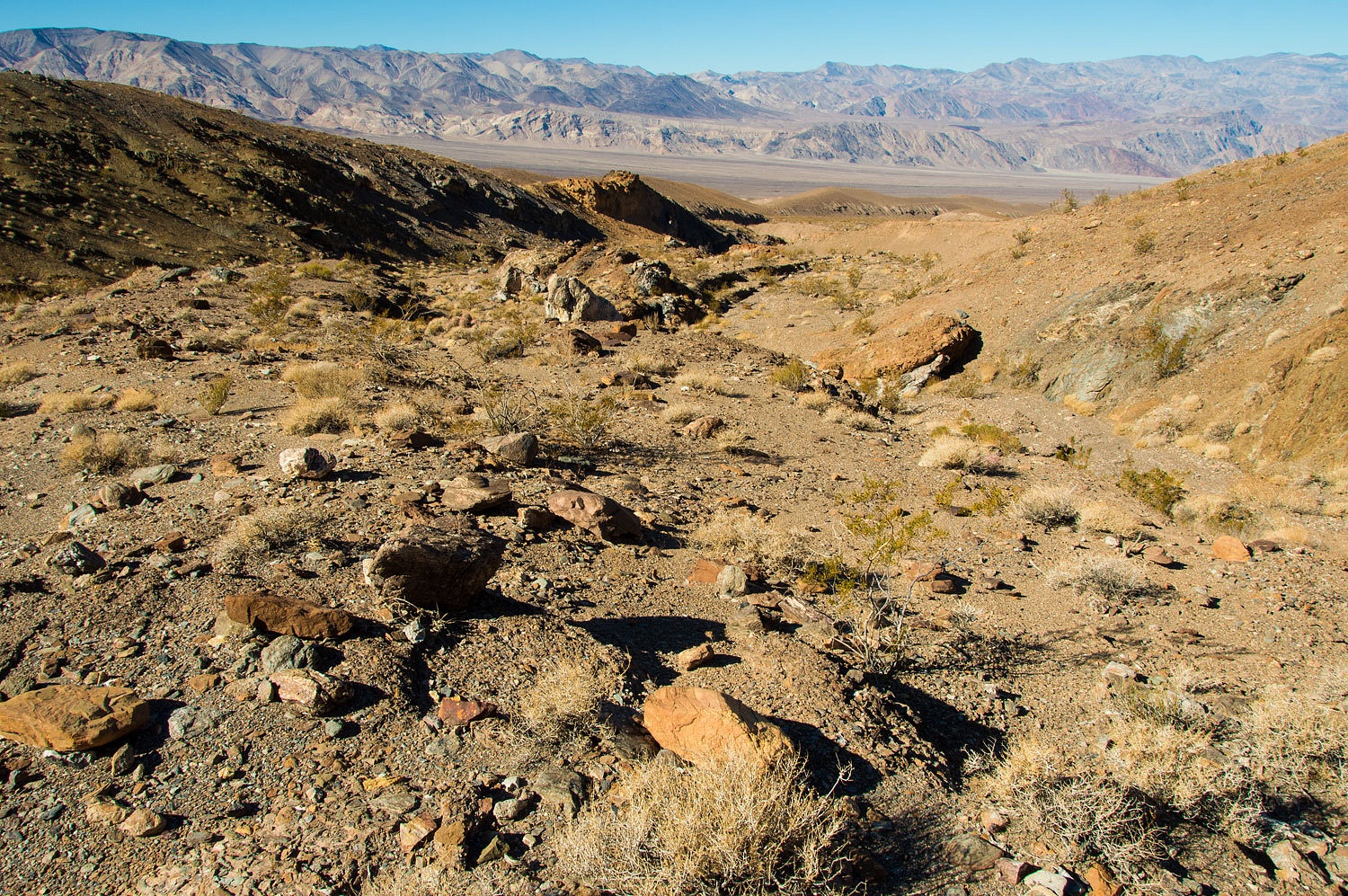
part of this hike is the approach up Emigrant Wash and then up the broad wash
coming out of Cairn Canyon. The Lady was getting a little tired of it. She
wanted to get there. As soon as she saw the mouth of a narrowing canyon, she
went for it. It ended in a jumbled, chaotic box canyon. We were not in the
right canyon.
We did
harvest a couple of mylar balloons that we carried out. We returned down to the
main Cairn Canyon wash, hiked up the wide canyon, and we continued to gain elevation.
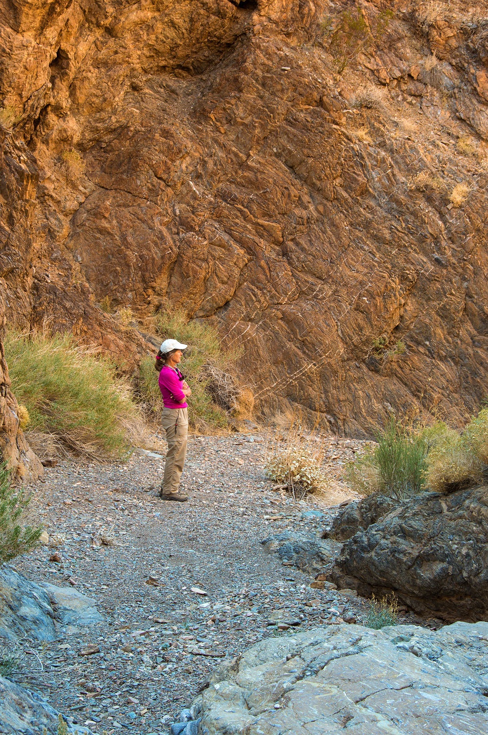
Finally the
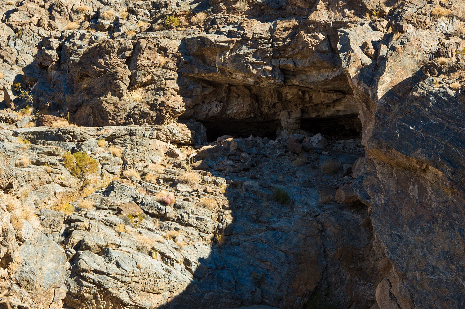
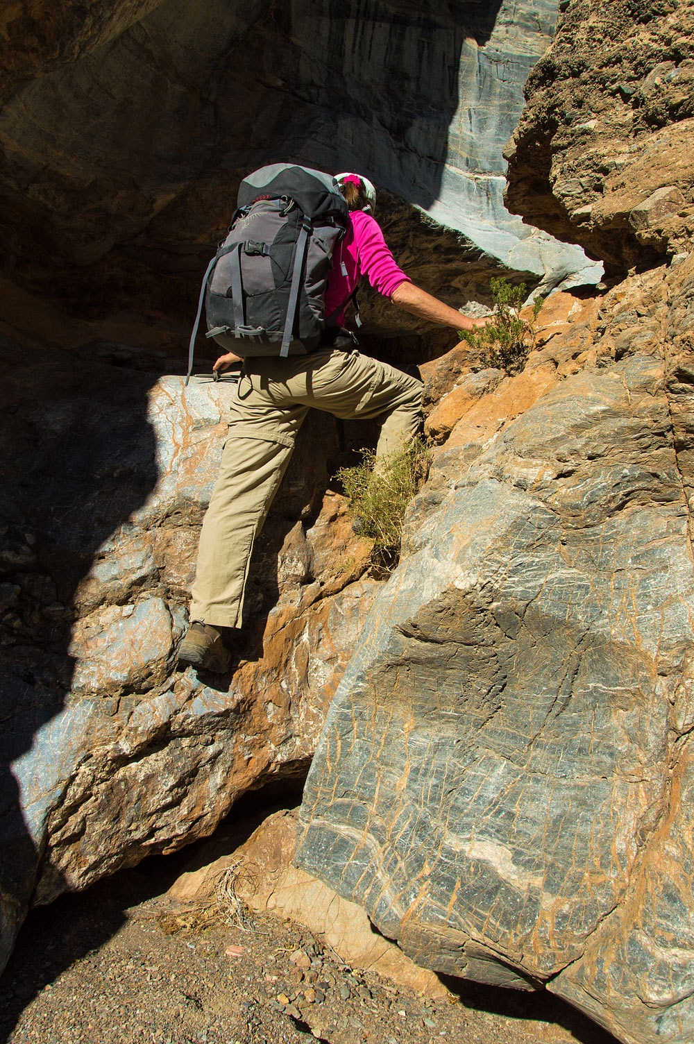
canyon constricted and the walls grew high overhead. We wondered if all the hiking
was worth it. We came around a corner and saw these possible shelters high above.
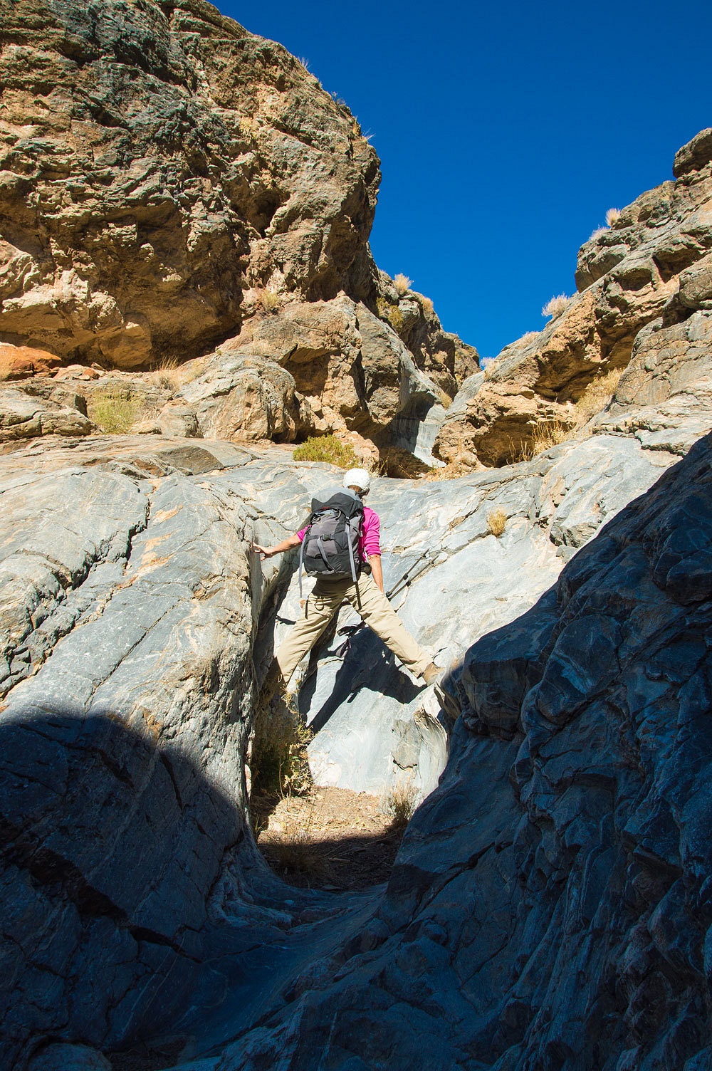
The canyon
below was a series of slick water polished tubes.
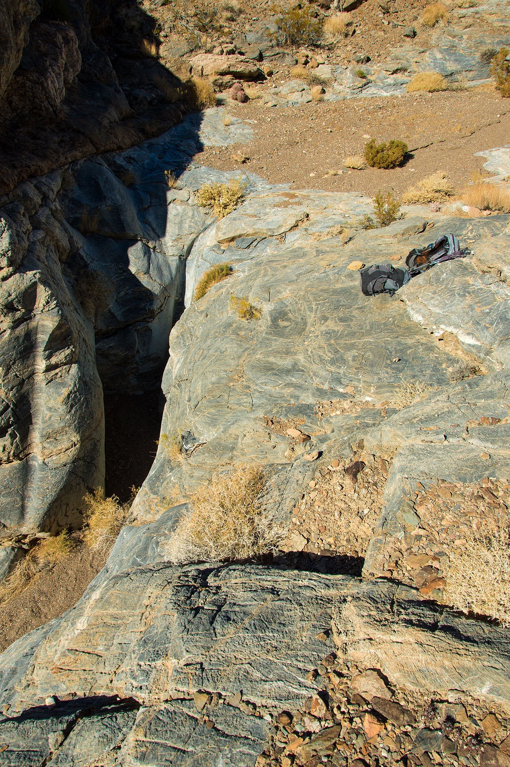
Here is a
view of the top of the last pour over of this canyon section. It was an enjoyable
slick tube to climb. After topping out, we left our packs, and found a route to the shelter
sites we had seen from below. The
shelter contained a packrat midden and the best view spot had two well used
bighorn beds. We found no sign of human use.
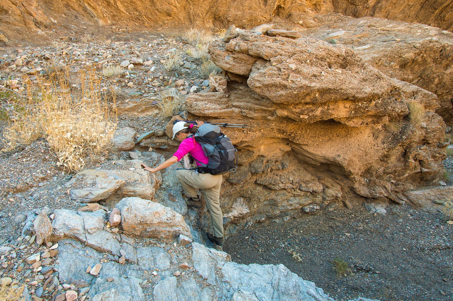
It continued
to be an interesting climb up Cairn Canyon.
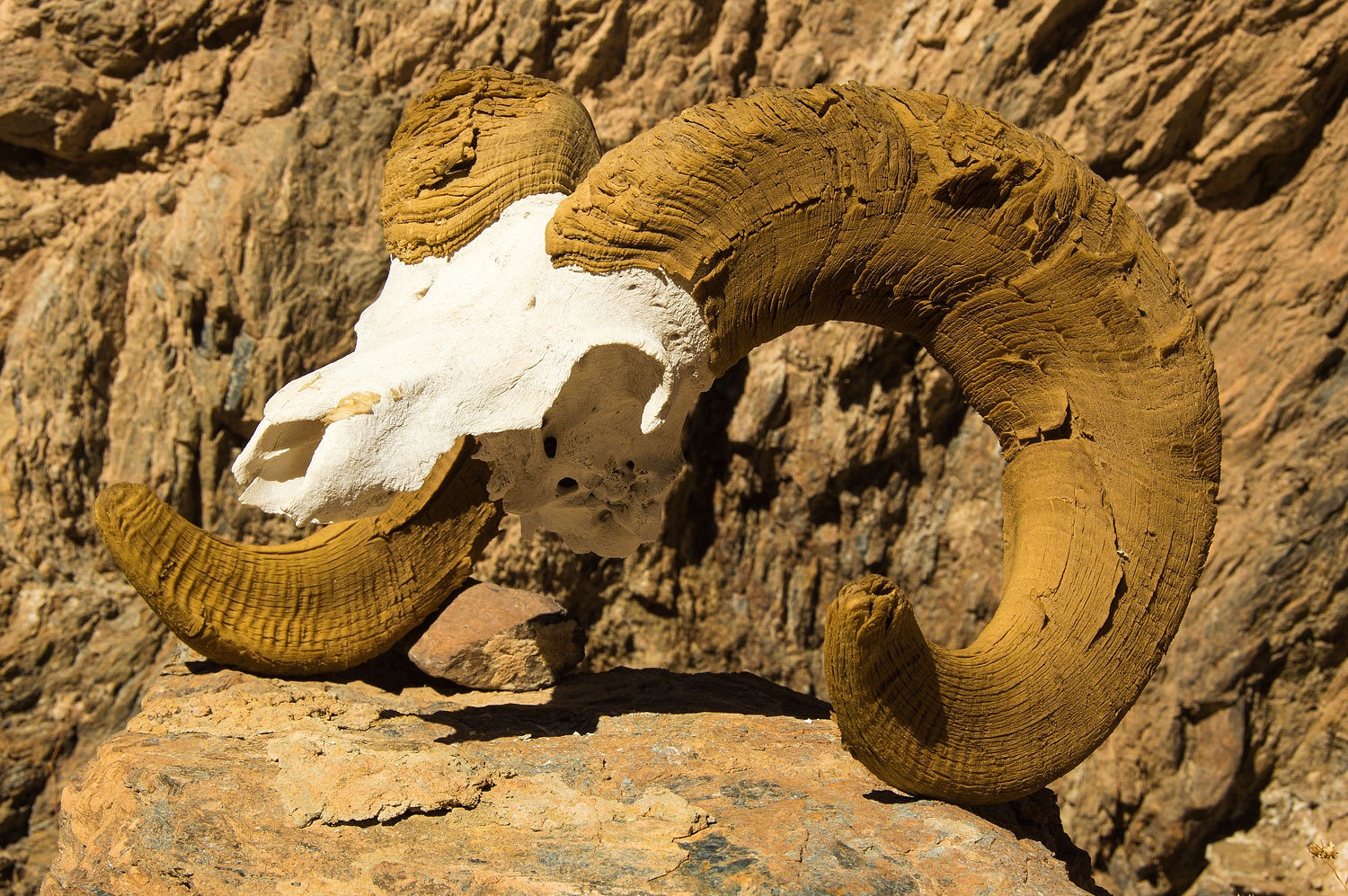
At the top
of one high pour over was a bighorn skull.
We continued
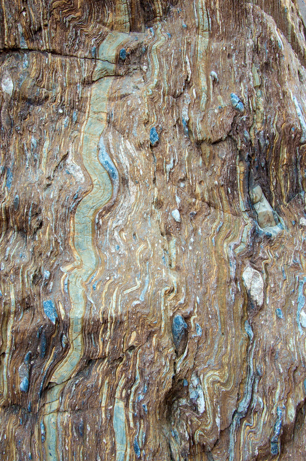
up canyon and reentered the stretched pebble formation. In this area the
formation is large and impressive and even tilted vertically. This gorge is all stretched pebble.
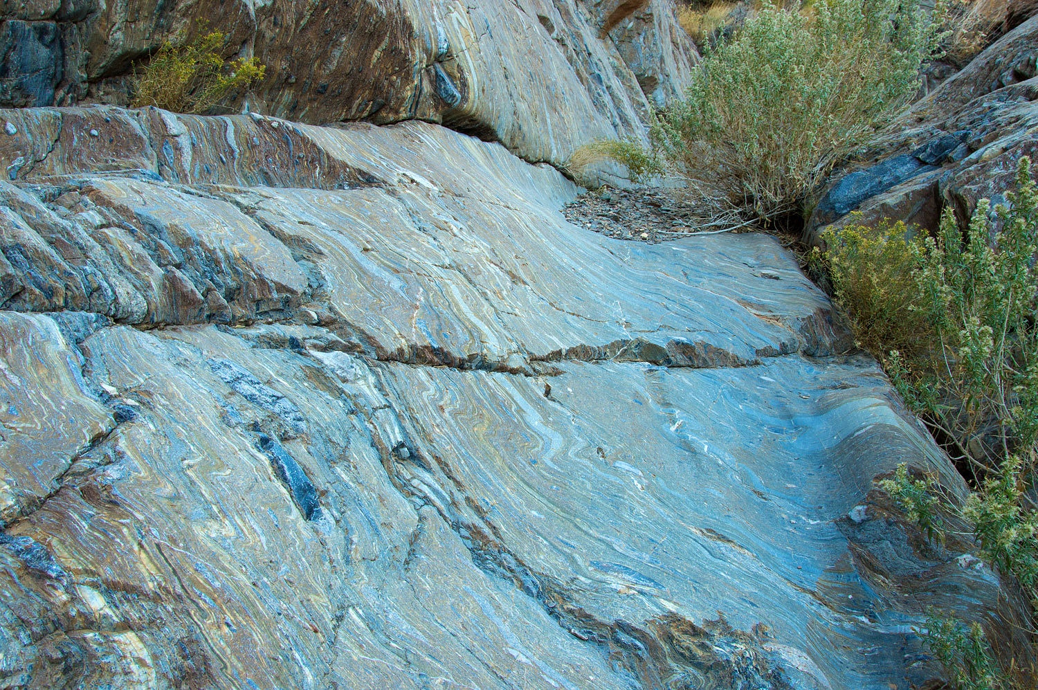
There is one
section of water polished stretched pebble.
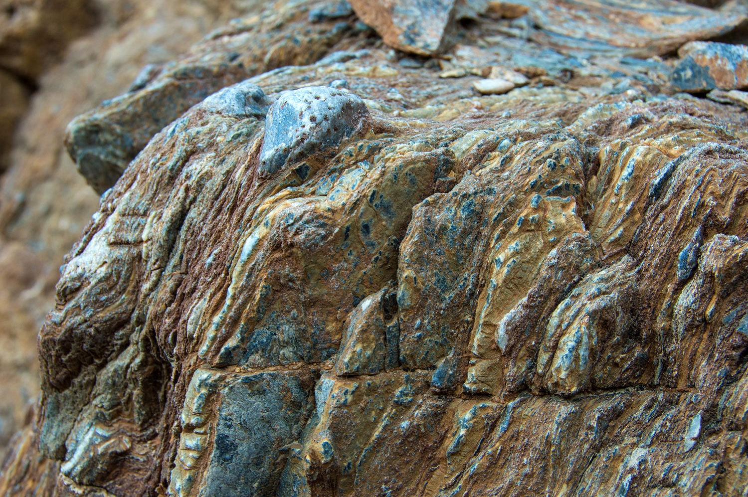
This is a
good comparison with a rough, unpolished outcrop.
We had
ventured a long ways up Cairn. It was time to turn around and return to the
truck.
Where to
next? This is where things get interesting. Remember that plan we had hatched a
few days prior? I always keep in my notes information on a few extra sites we
could visit. We didn't want to drive back up Lemoigne Canyon Road to spend
another night. Reaching the truck mid afternoon, we figured we'd have just
enough daylight to make it to a campsite in a new area. History was calling.
There was, we hoped, something exciting to find.
We still had
light as we drove up the extremely narrow, seldom used two track. Google Earth
had revealed a small clearing that could maybe work out as a campsite. We found it
and it worked well. We'd have yet another night far from anyone else.
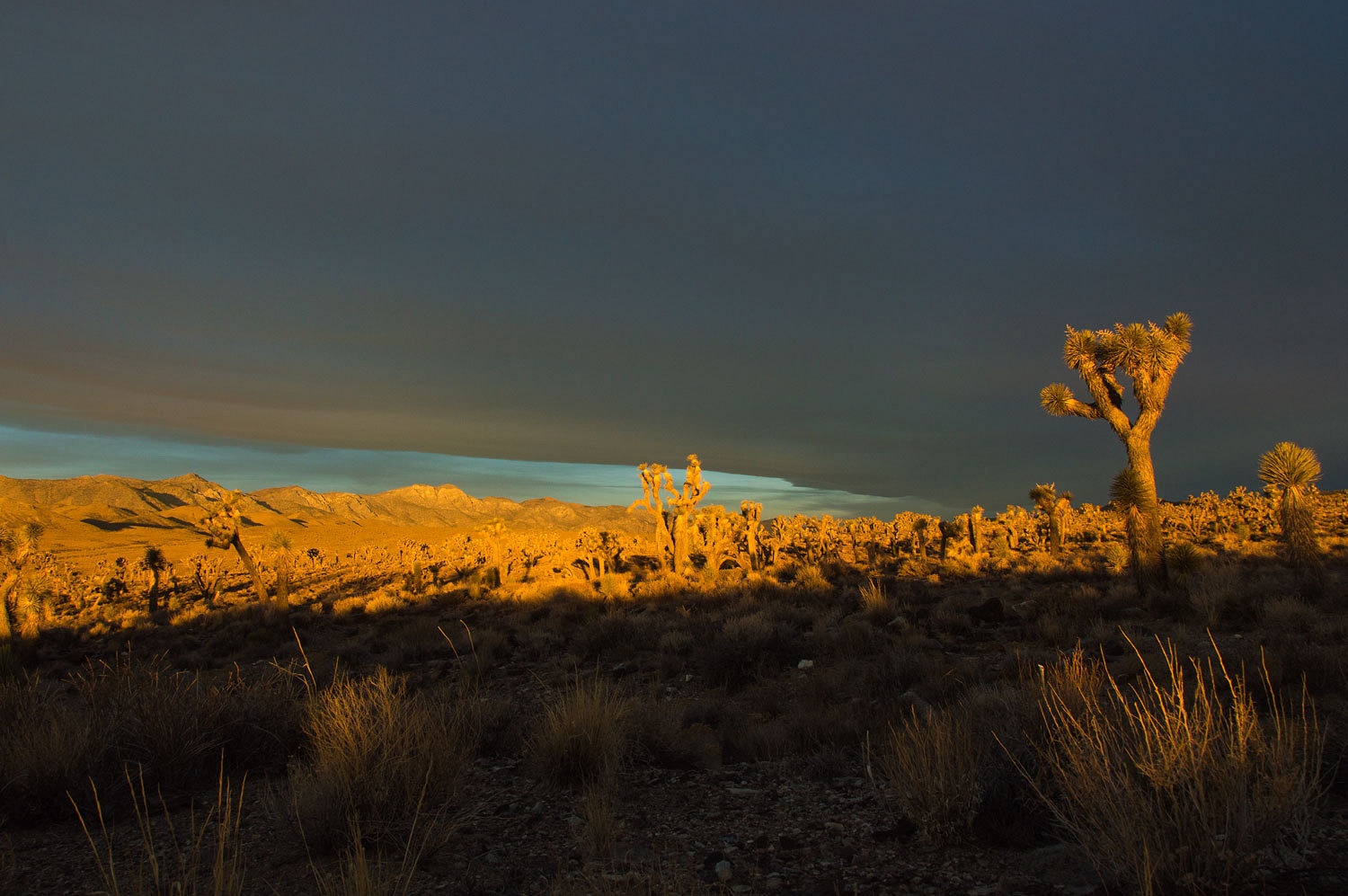
Morning came
with a layer of clouds. For only a moment at dawn sunlight streamed underneath,
a nice start for Thanksgiving!
As I said,
history was calling. A few years back, as per Digonnet's guide book, we had
hiked the Ubehebe Trail up to Racetrack Playa. The Ubehebe Trail predates the
Lippincott Road and was a route into Ubehebe mining district. Digonnet offers more
information on the old trails in Hiking Western Death Valley. For the best look
at Death Valley history, I enjoy Death Valley and the Amargosa.
We were
heading cross country to find historic rock inscriptions associated
with Ubehebe.
After a
couple of miles, we turned up a small draw. Along the wash we started to find
petroglyphs.
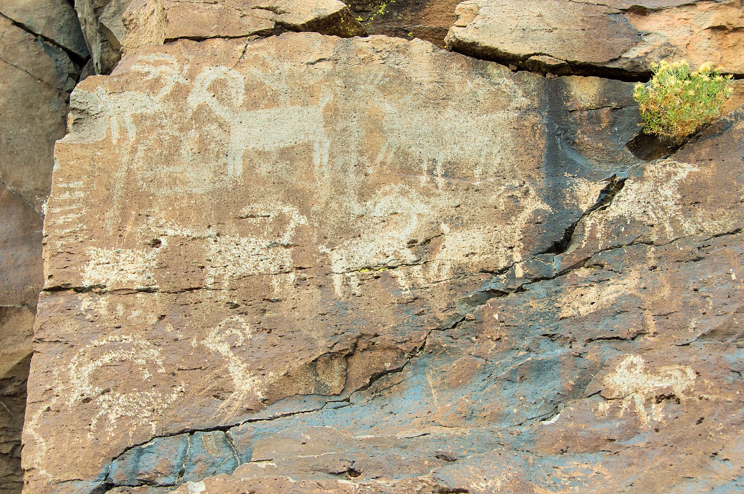
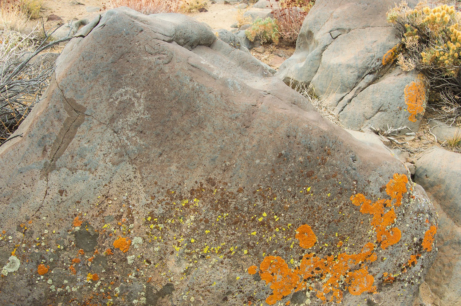
Sheep
figures predominated.
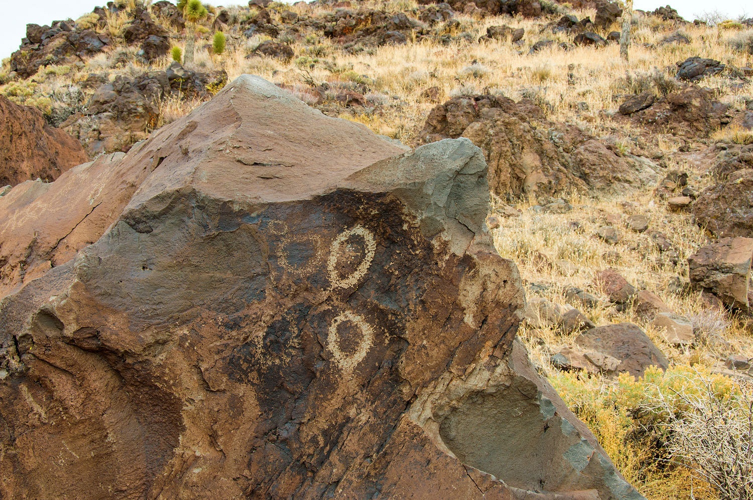
Geometric
designs were also represented.
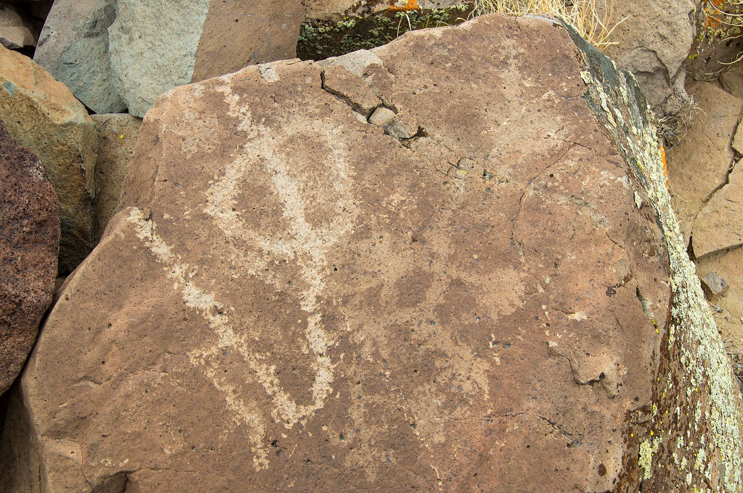
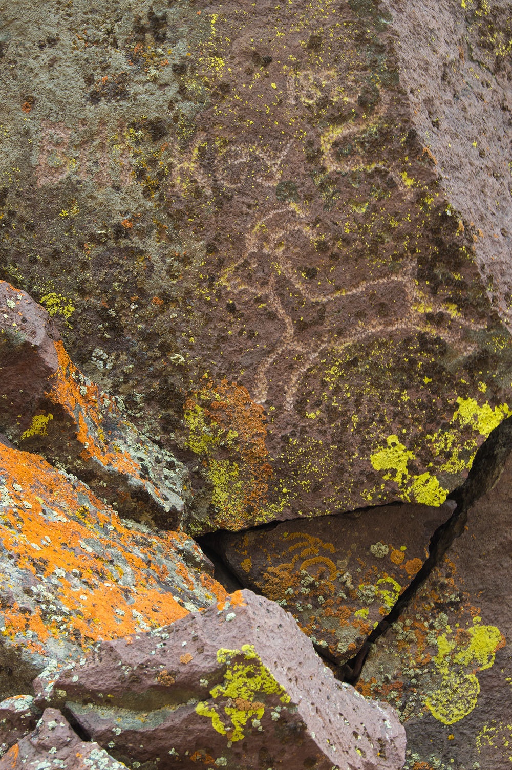
It was
exciting to see detail in some of the older, fainter petroglyphs.
Sheep were
still ever present.
Even without
the ancient art work, this was still a very special place.
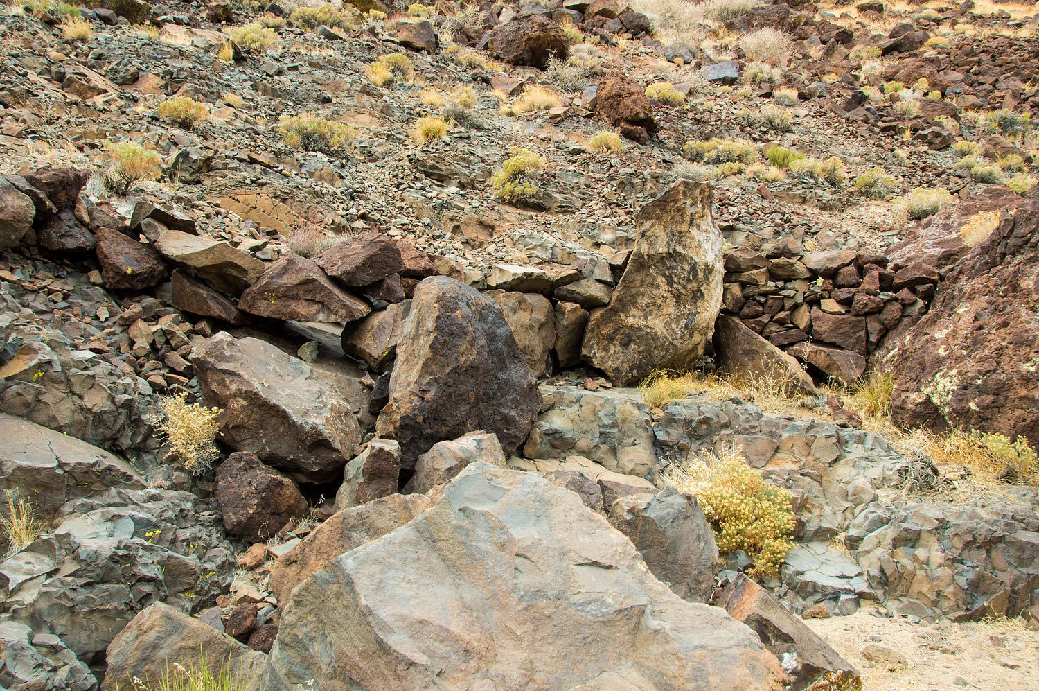
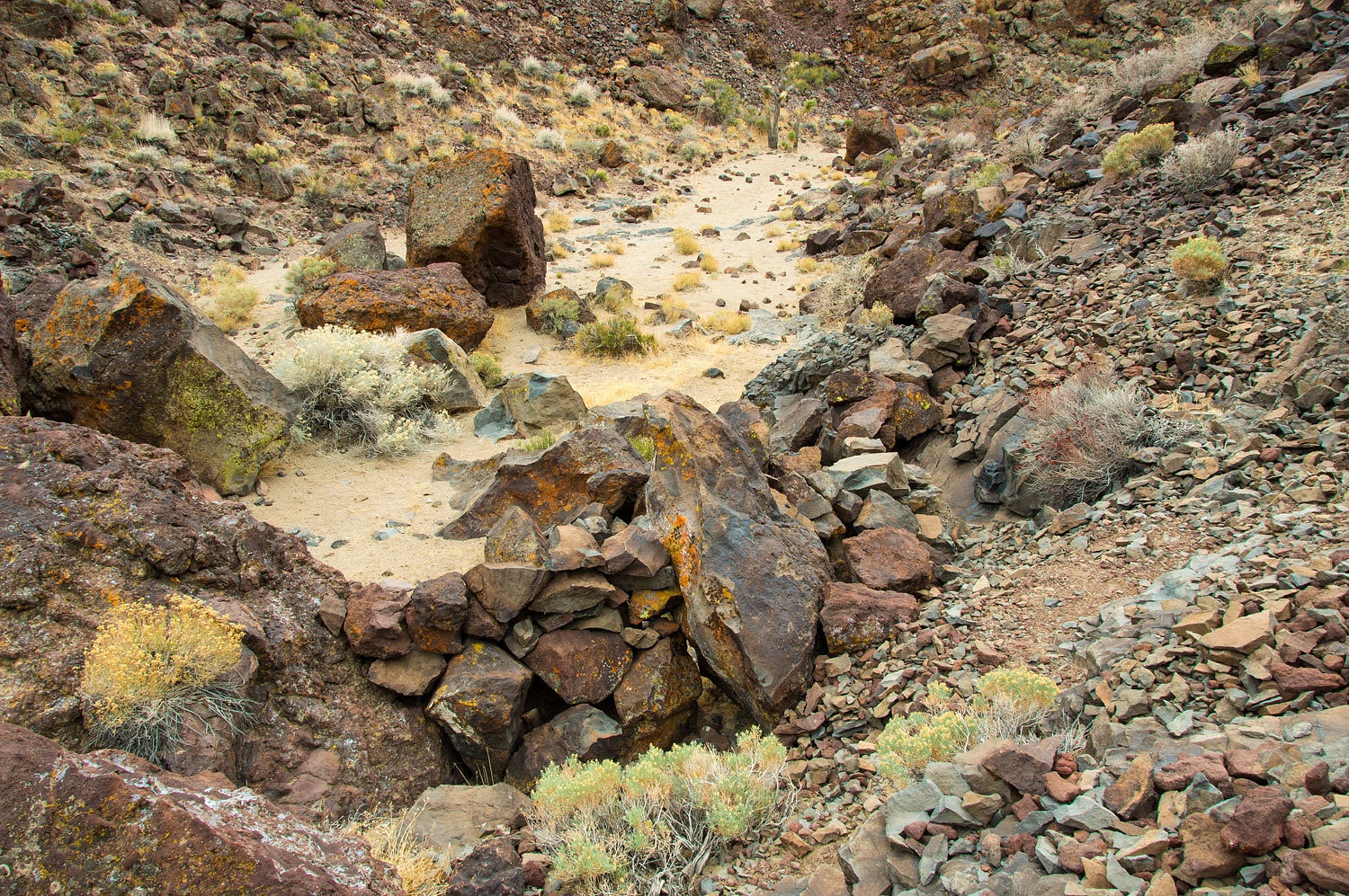
At a
constricted point in the gully was a large ancient hunting blind.
Here's the
view the hunter's had.
There was
another blind higher up on the wall.
This site reminded
me of modern day duck hunters hiding in their blinds with decoys out on the
water. It made me ask the question, "Were all the sheep glyphs meant to
make the prey comfortable and draw them in for the ambush?"
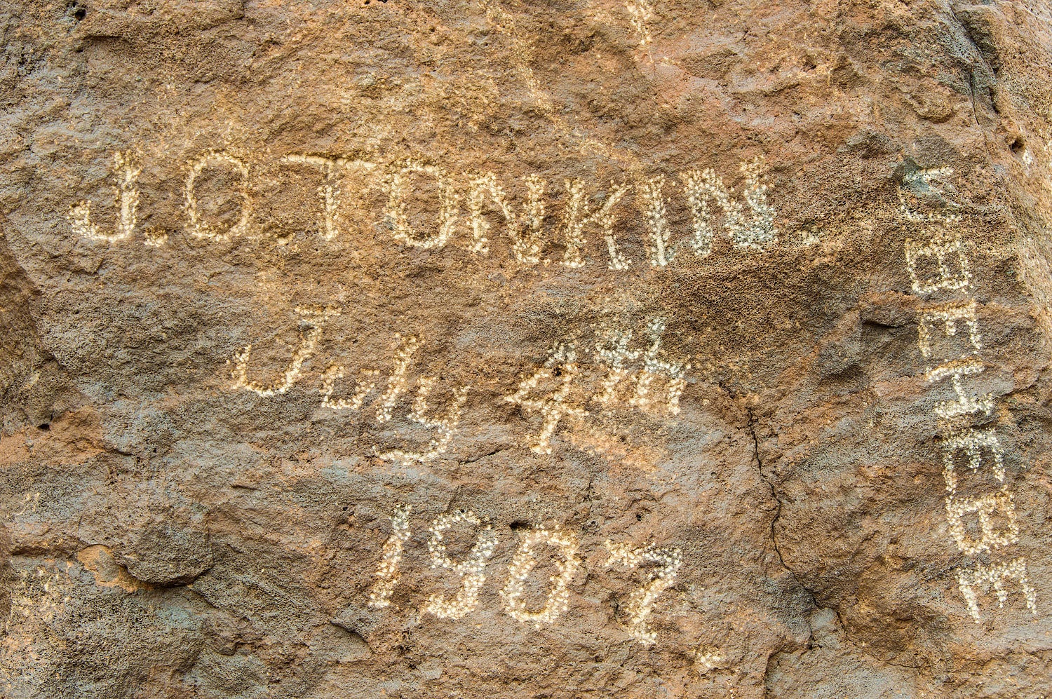
We were so
excited about the ancient art work that we forgot about the more modern stuff
we had come for. Around a corner and there it was, the large boulder.
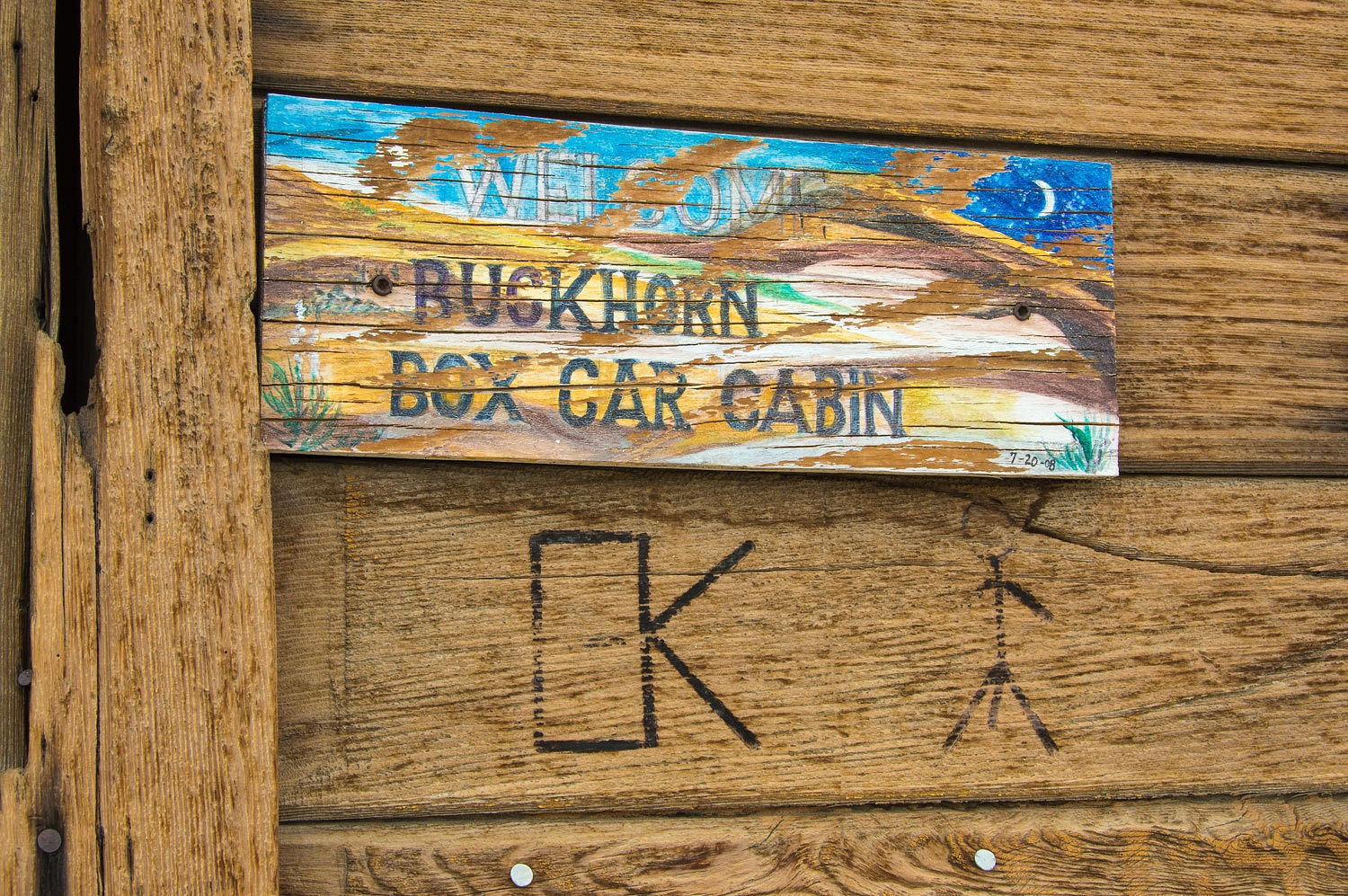
Higher up on
a wall we found this.
Bill Keys
was a well known rancher in the Joshua Tree area. Prior to moving to Joshua
Tree he spent time in Death Valley. He is thought to be one of Death
Valley Scotty's buddies in the "Battle of Wingate Pass" where Scotty
had set up a staged attack by desperados to scare away investors he was swindling.
Scotty's brother took a bullet and Scotty yelled to the "bandits" to
stop. His cover was blown. Later in life, Bill shot and killed a neighbor and
spent time in San Quentin.
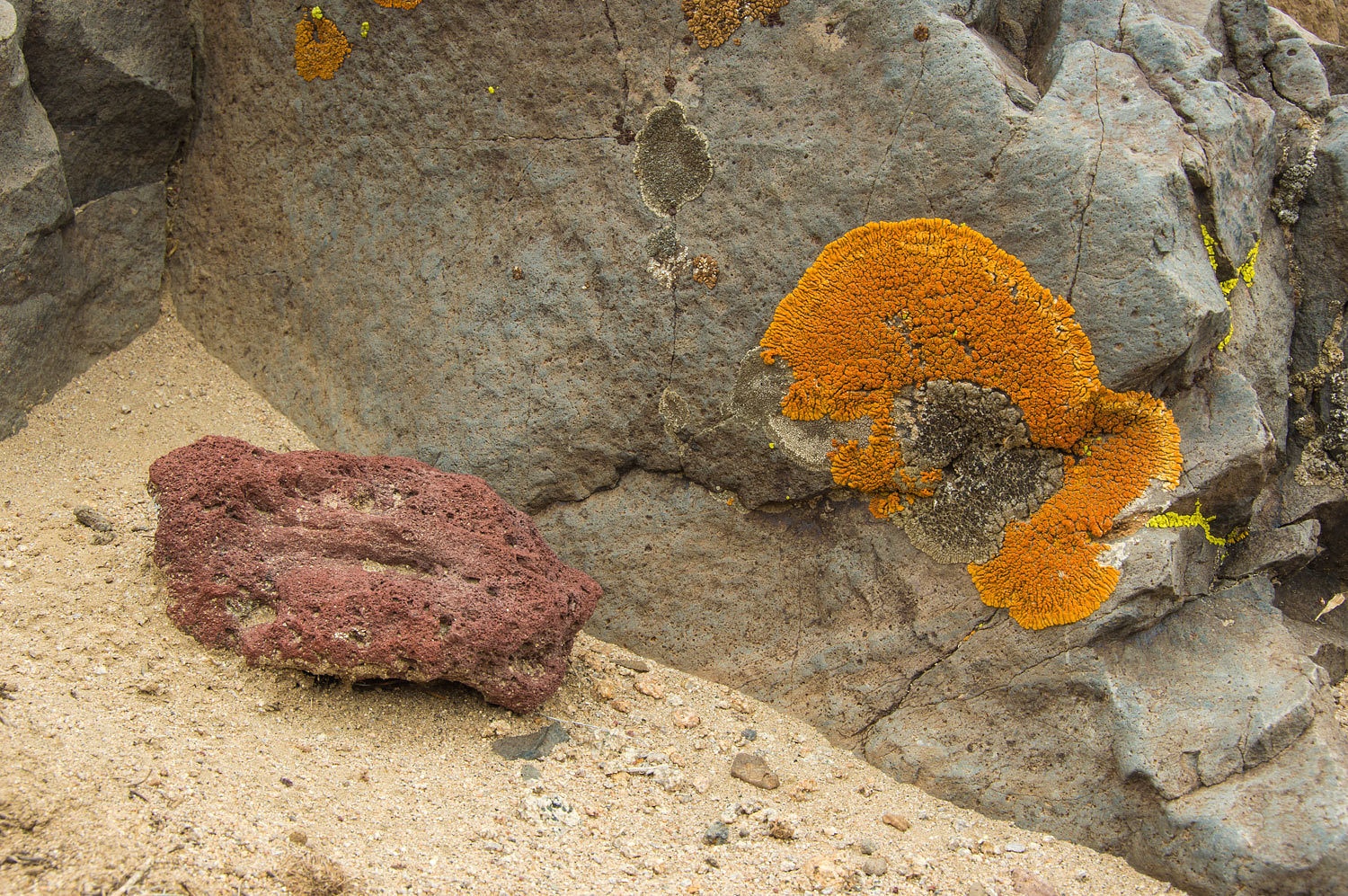
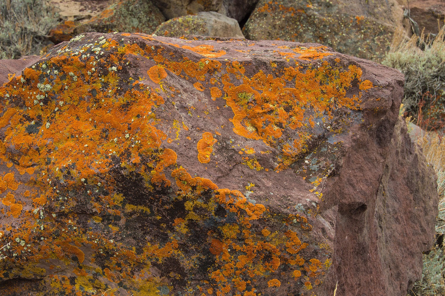
The lichen
in this area was very nice.
We returned
to the truck early afternoon and decided to slowly move toward home. We'd take
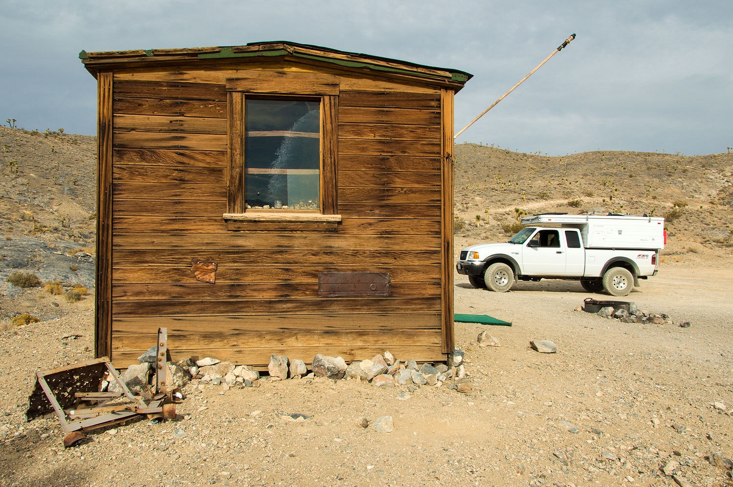
our time and maybe check out a couple, new to us, places. We drove in Saline
Valley Road and stopped in at the Boxcar Cabin. No one was home. There was no turkey
going on a grill.
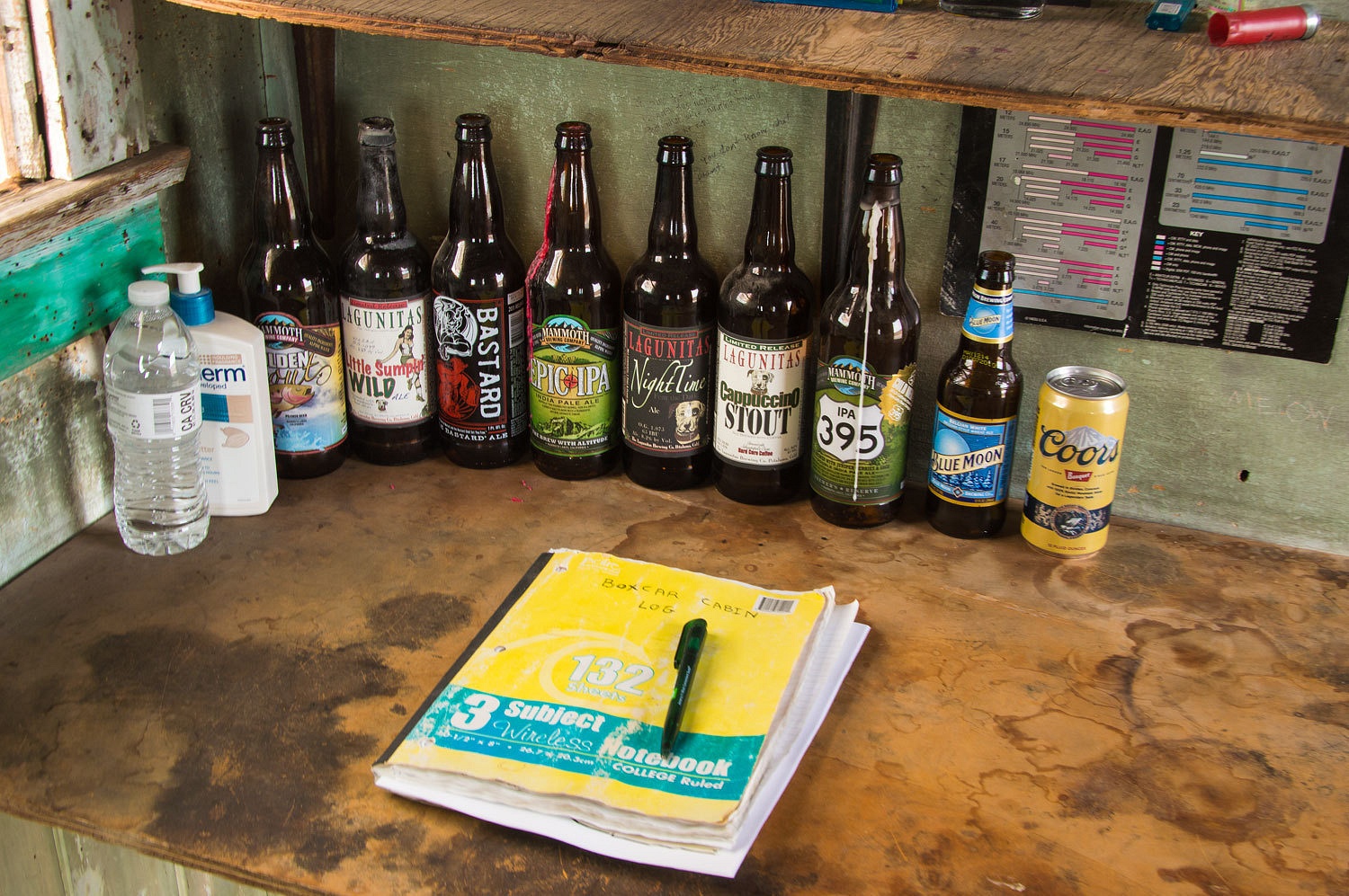
There was a
place to sign in and record the brand of beer you were drinking. It looked like a shrine.
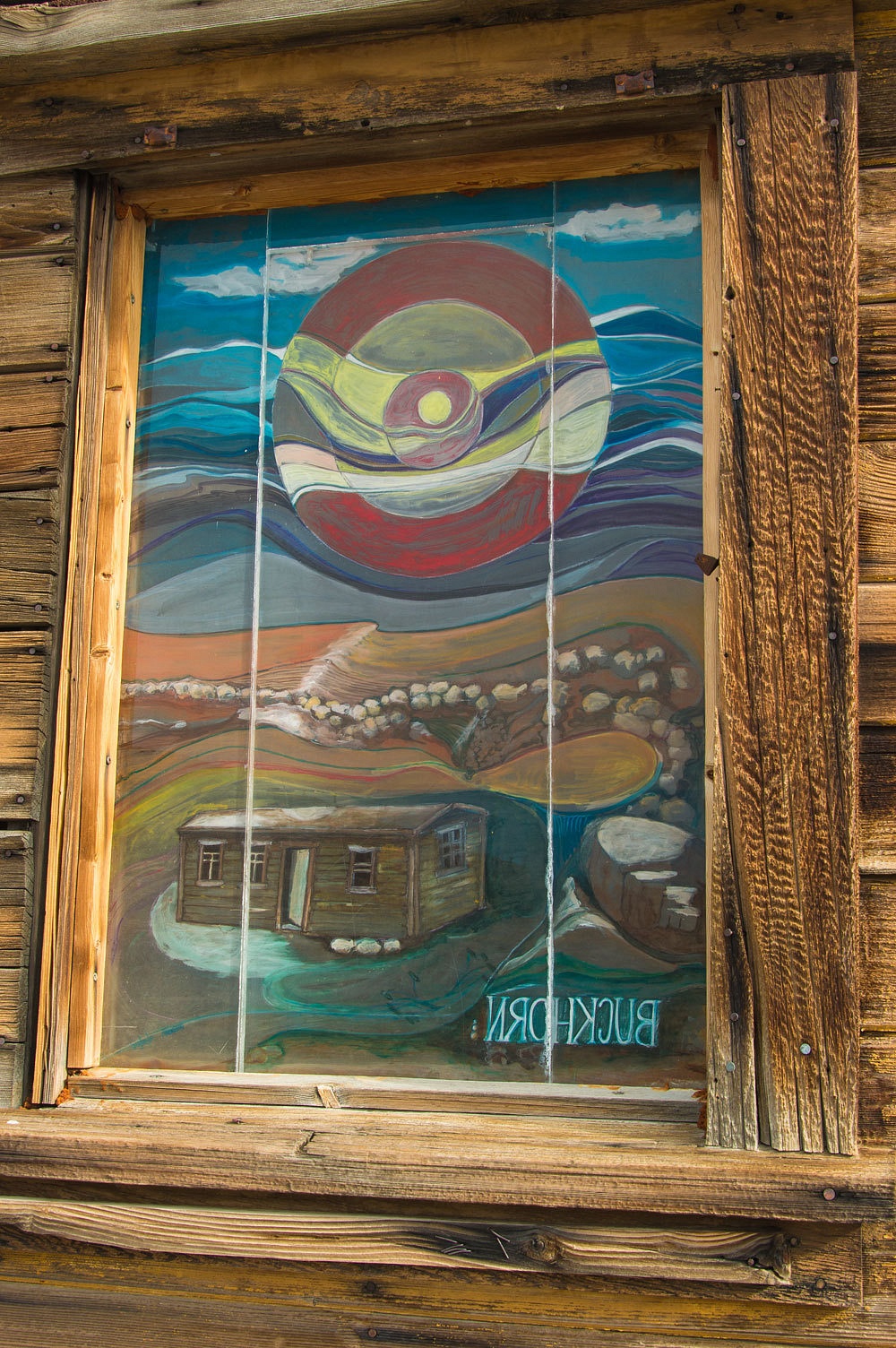
I enjoyed this window
from the outside.
Back on
highway 395, we contemplated camping in the Alabama Hills. The Lady suggested
moving further north and looking for a campsite in the Volcanic Tablelands north of
Bishop. The spots close to Bishop were filled with the tents of climbers. It
was a busy holiday here. We headed further out and looked for a tiny two track
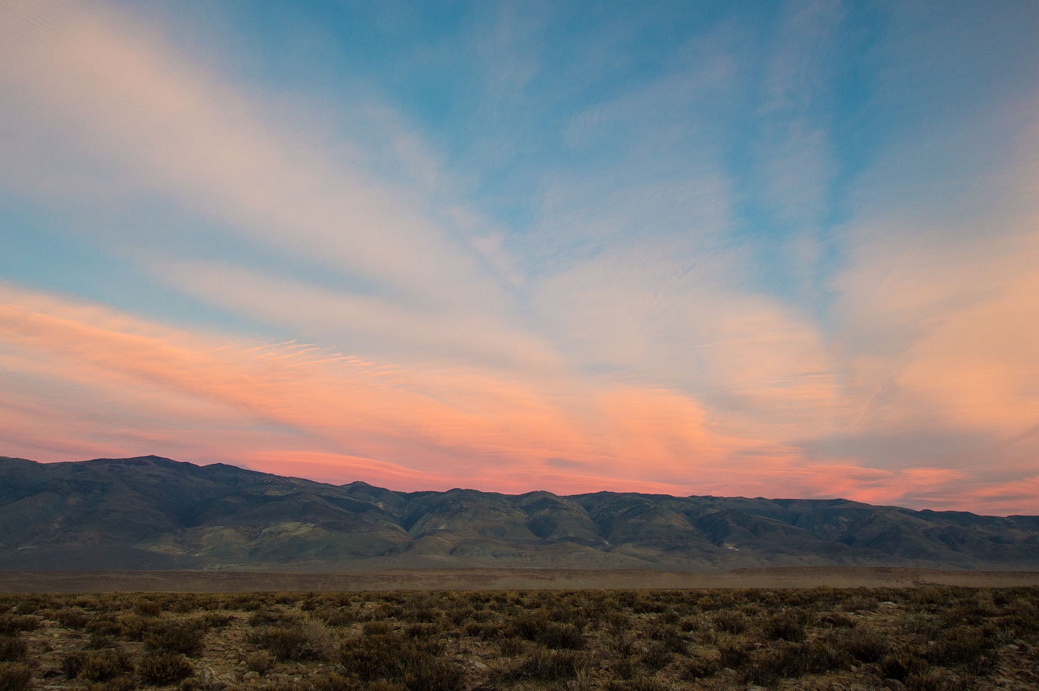
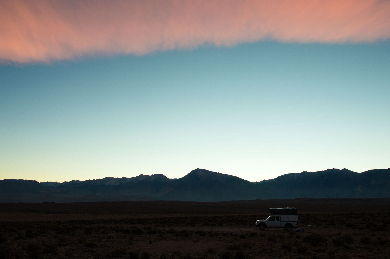
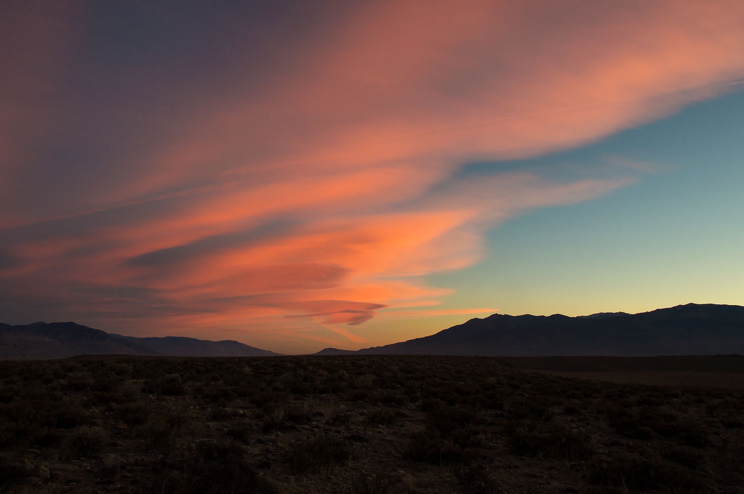
we had seen on past trips. It worked out well and we found our kind of highpoint.
Dinner preparations ceased as evening color appeared.
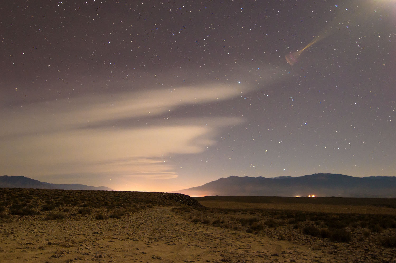
As darkness
came, so did the glow of light from Bishop to our south.
Friday was
the last morning of our trip.
We returned home this day. We were concerned about the shock of returning to
civilization. Maybe we should ease into it? The Lady suggested a store bought
sit down breakfast in Mammoth. I had reservations about that qualifying
as "easing" and feared it could be more like getting thrown into the
deep end of the pool. We did not eat at the establishment that billed itself as
a "savory boutique." That was way over the top, I thought, after the
Lady explained it to me.
We ate at a
nice little spot and enjoyed a good breakfast. I didn't overload on civilization, drown in the deep end,
but I was a bit concerned. I'm a Geezer, you know.

