please remember you can click on a photo to see a larger version
Mono Pass
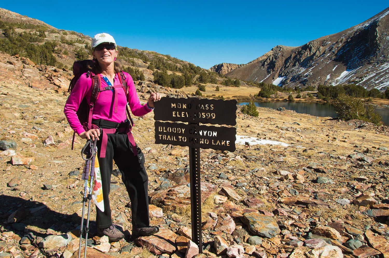
The Lady
decided on hiking Mono Pass for her birthday present. We had been to Mono Pass before,
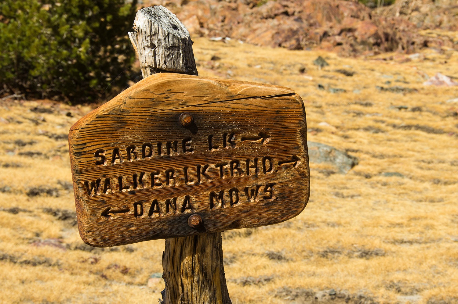
taken the easy 3.5 mile trail on the west side from Dana Meadows in Yosemite
National Park. That route would not qualify as a birthday present long hike. Birthday
present day called for a hike up from the bottom on the east side and ascend
Bloody Canyon to Mono Pass. Then, of course, turn around and hike back down to
the bottom.
Mono Pass is
the historic pathway through the Sierra crest south of Tioga Pass. Tioga is a
new modern highway pass and not a route used in the early days.
Mono Pass
was used by the Native American tribes - long before white intrusion - as a
trade route and path to cooler summer terrain. The east side tribes had an
important trade good that spread throughout the west, obsidian for points and
tools, a product of the volcanism in the Mono Basin.
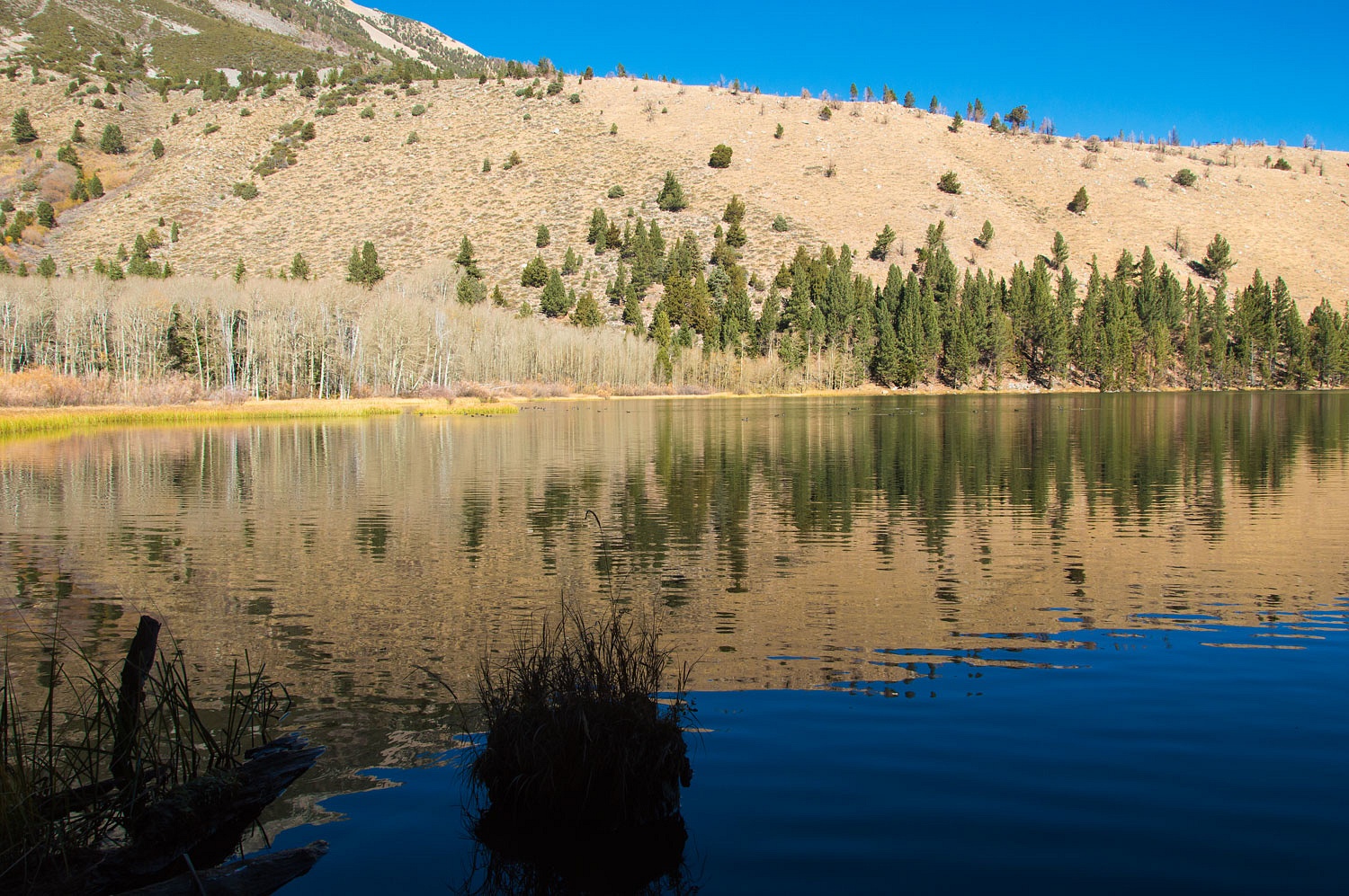
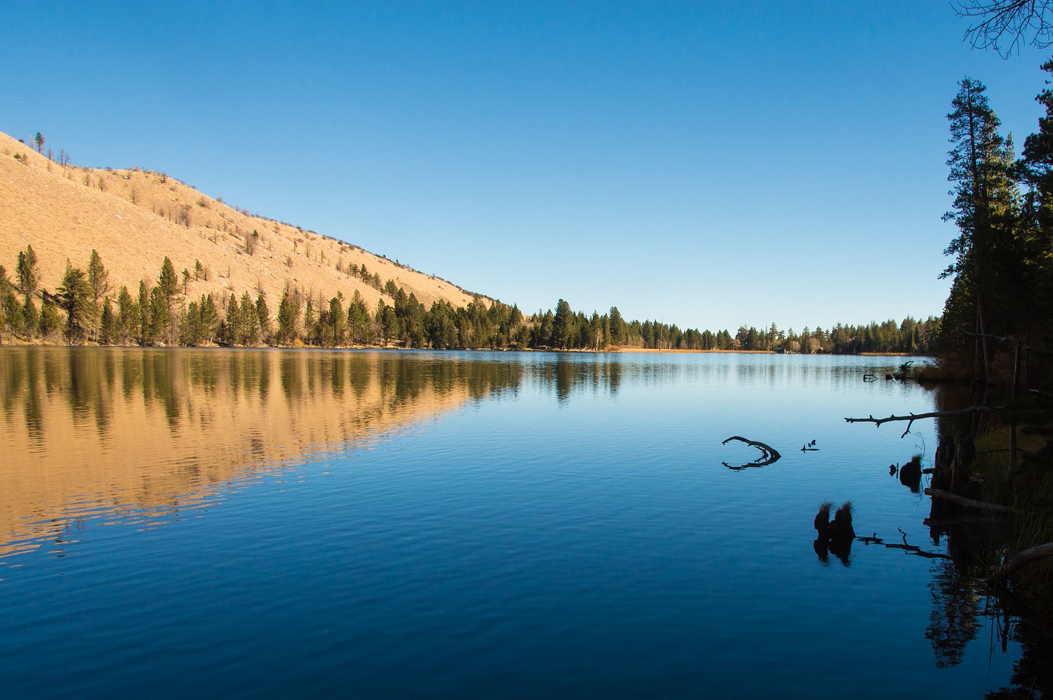
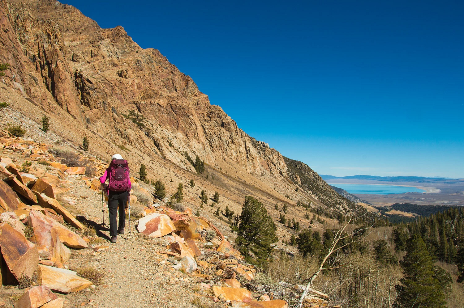
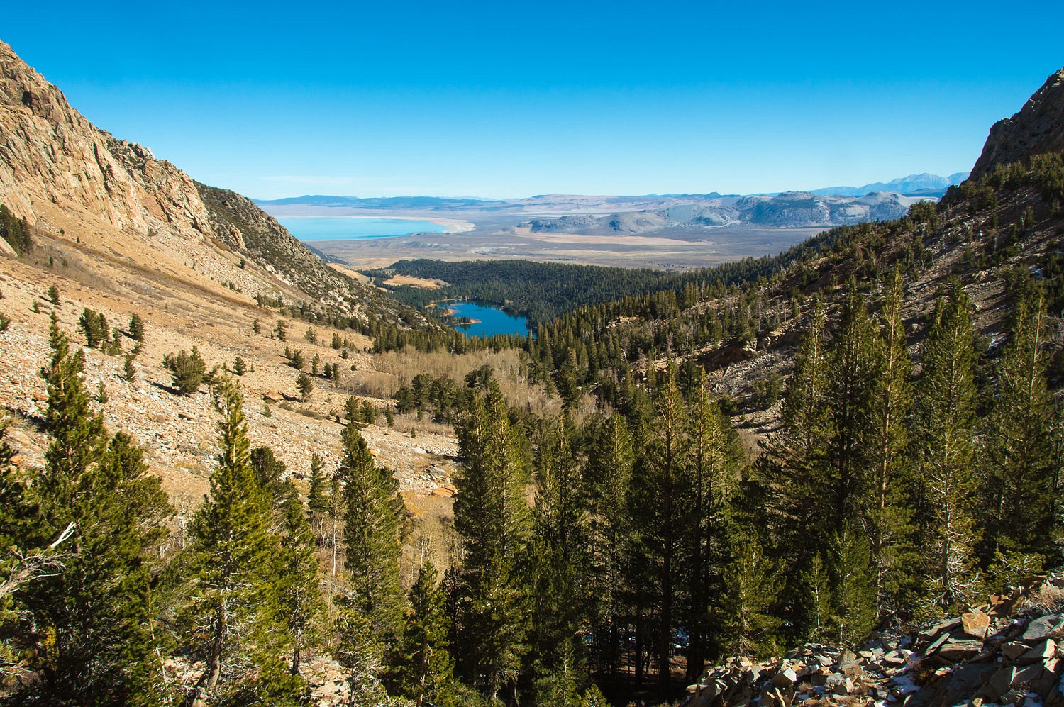
The east end
- bottom - of the trail starts at Walker Lake -
a natural
impoundment of water trapped by a recessional moraine of the glacial era's
Bloody Glacier.
Walker Lake
is hard to get to. Public access via the road into the lake is not allowed.
Private cabins and Los Angeles Department of Water and Power lands result in a
locked gate. Public access is now provided to the west (upper) end of Walker
Lake via a steep rough dirt road to the top of the huge lateral moraine south
of the lake. A trail head sits at the top and a steep trail switchbacks and
drops hundreds of vertical feet down to Walker Lake. There were three vehicles
at the trailhead when we arrived, all were there for angler access to Walker
Lake. The trail up Bloody Canyon to Mono Pass is another of the Sierra's
forgotten trails and gets little use - just the kind of route we love to
experience, especially seeped in so much history and so many stories.
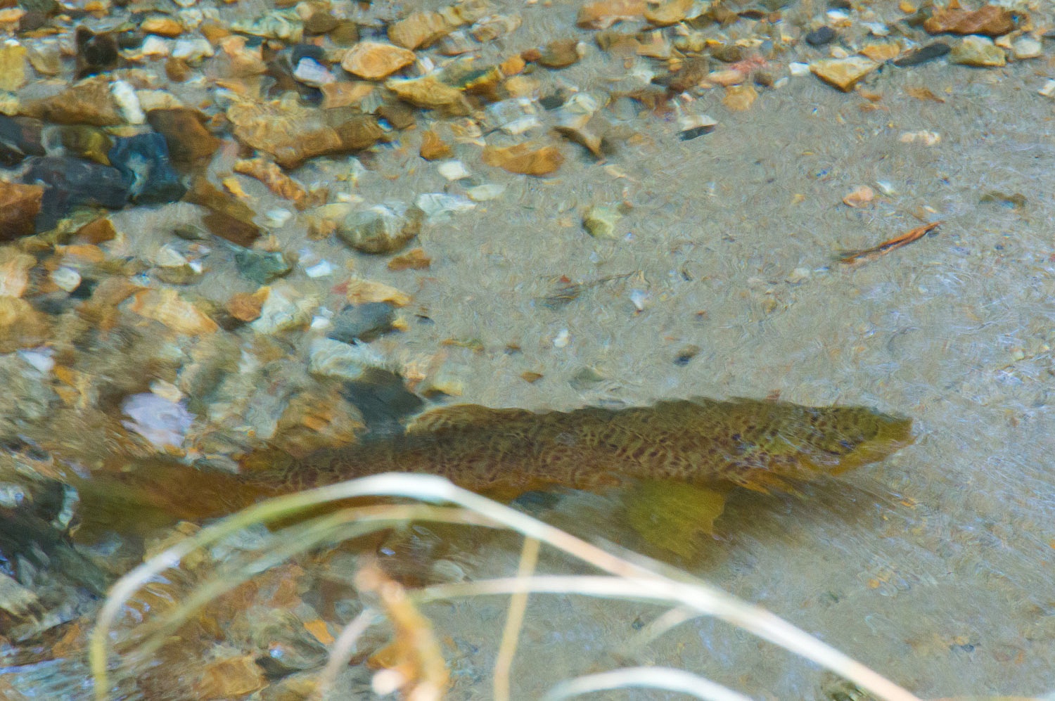
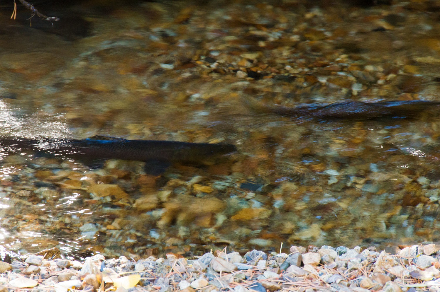
Where the
trail crosses the inflow into Walker Lake - Walker Creek - we had a wonderful
surprise. Non - native brown trout, planted long ago in Walker Lake and fall
spawners, had moved up into the gravels of Walker Creek for their yearly
reproductive rituals.
We love it
when a large trout's dorsal fin sticks out of the water.
This
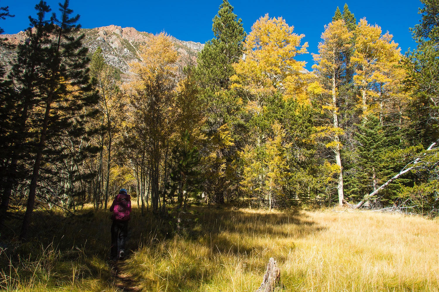
diversion could have delayed us all day as could wandering through the
remaining aspen color in the broad meadows above the lake.
But our
quest was for a birthday present long hike, and our fate was to climb, and
climb we did.
The exact
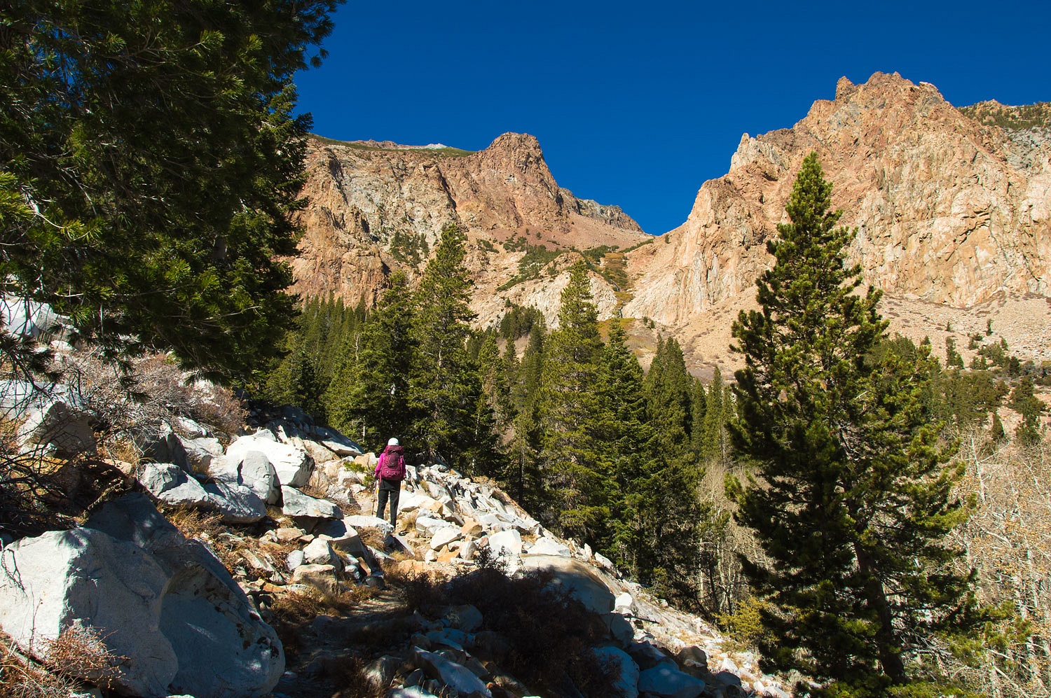
reason for the name Bloody Canyon is lost to time. Some say it was because of
all the cut legs on work horses and mules made bloody by the unforgiving grade
and sharp rocks. Others say it is because of the red colors of the metamorphic
roof pennant rocks overlaying the younger classic Sierra granite.
It was
spectacular and glorious. The weather cool and perfect. The skies washed clear
by the recent storm.
I will add here
that Walker Lake and Walker Creek are named after my favorite mountain man -
Joseph R. Walker. In 1833,
working for Benjamin Bonneville, Walker was
tasked with finding an overland route to California. Everyone who came after -
Kit Carson, John C. Fremont, the gold rush and the California Trail, followed
Joseph Walker's lead.
The early
Mono Basin settlers believed Mono Pass was where Walker made one of the
earliest Sierra crossings and they named Walker Lake and Walker Creek in his
honor. But it's probably a mistake. The majority of historians believe Walker
crossed the Sierra Nevada much farther north.
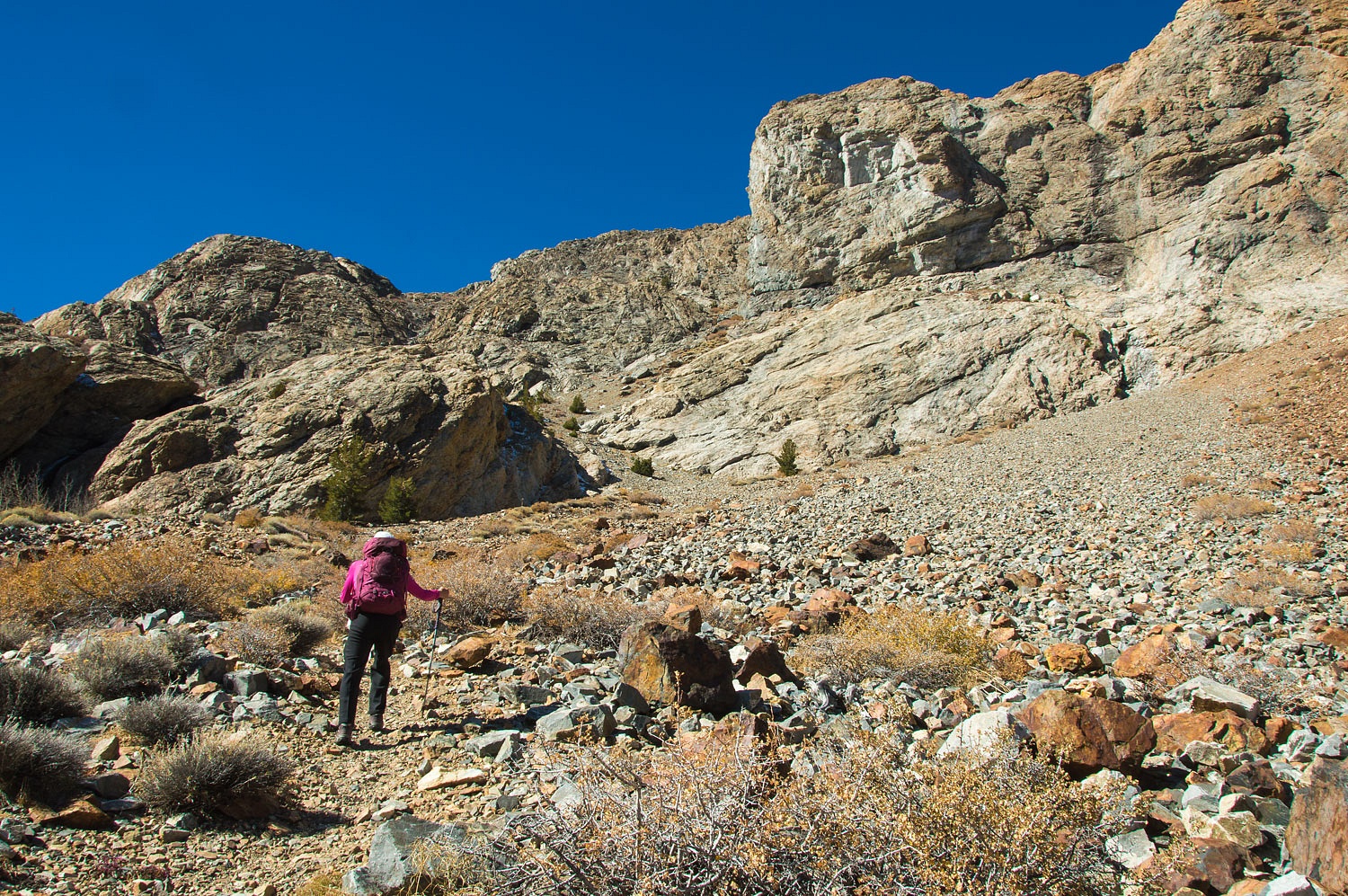
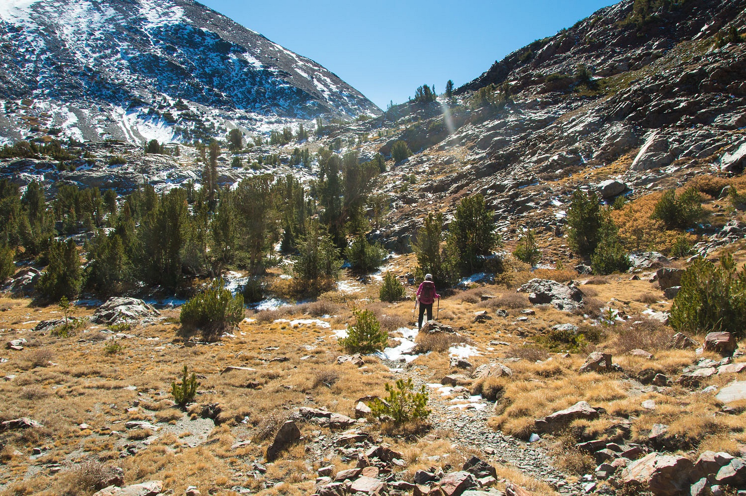
Our climb
was just beginning.
This is an
old Sierra trail with a steep grade. It wasted no time gaining elevation.
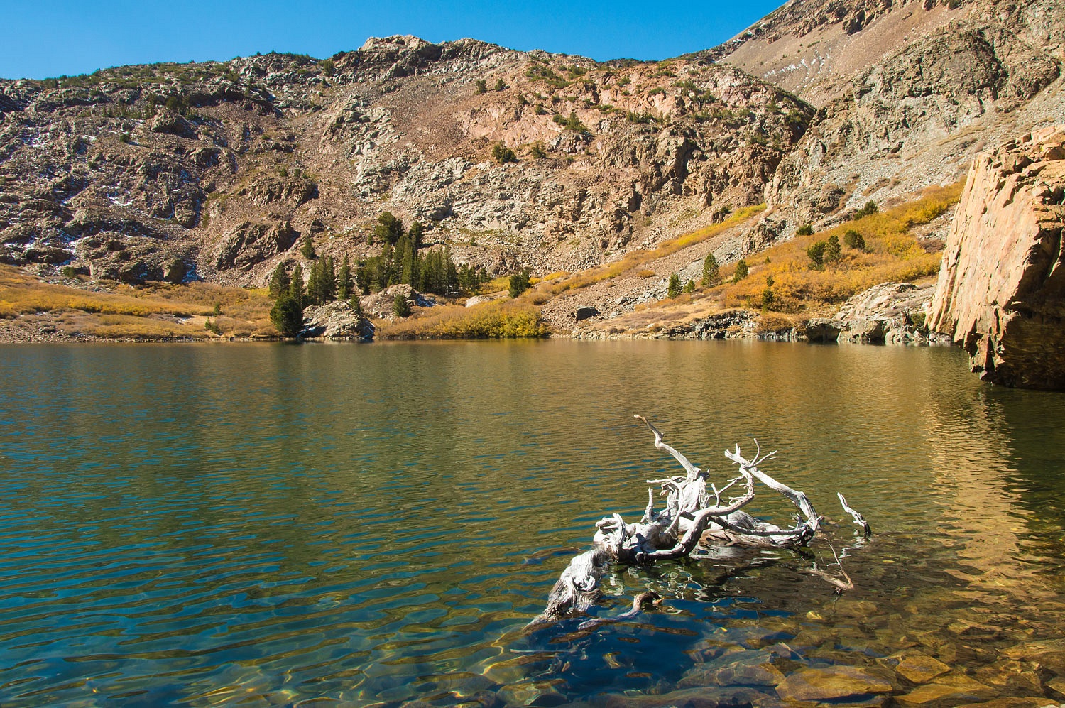
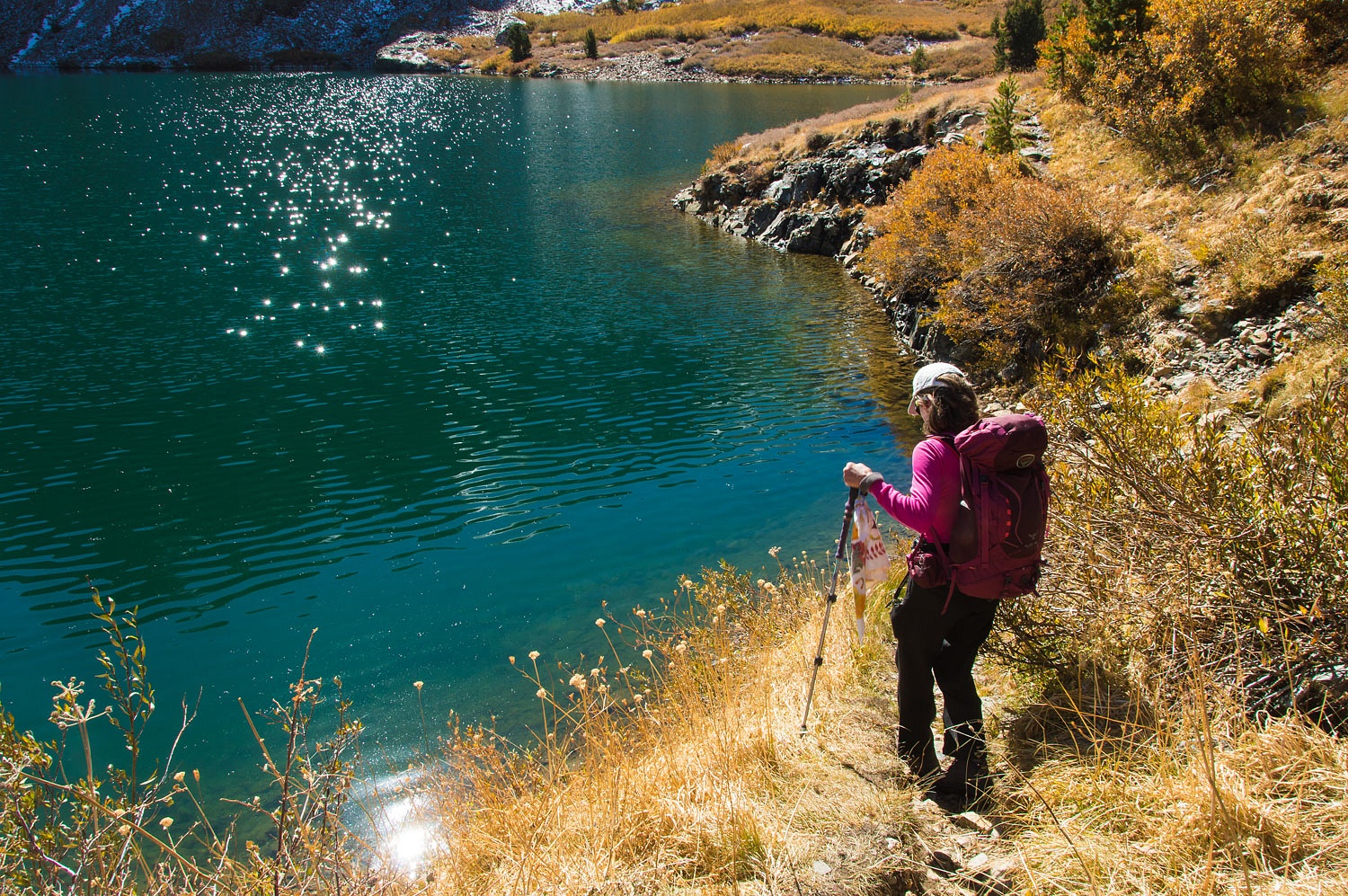
We took our
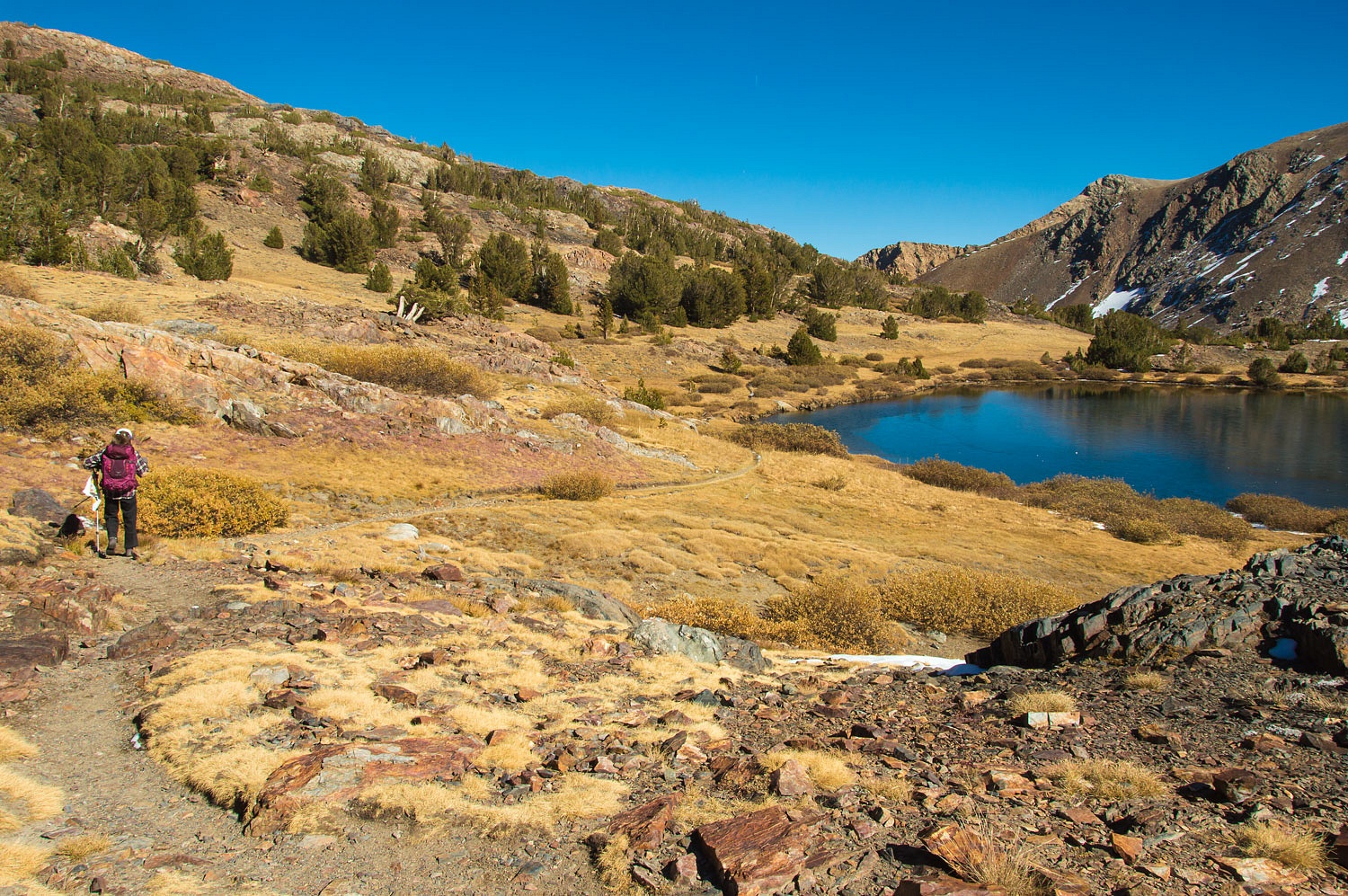
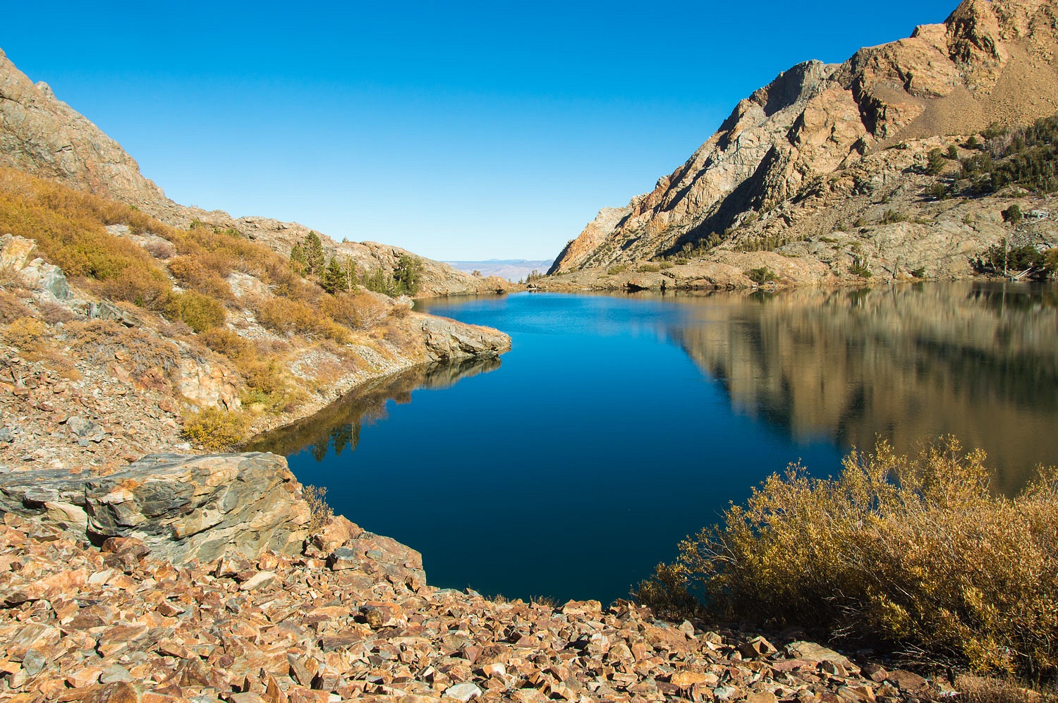
first break at Lower Sardine Lake and consulted the map.
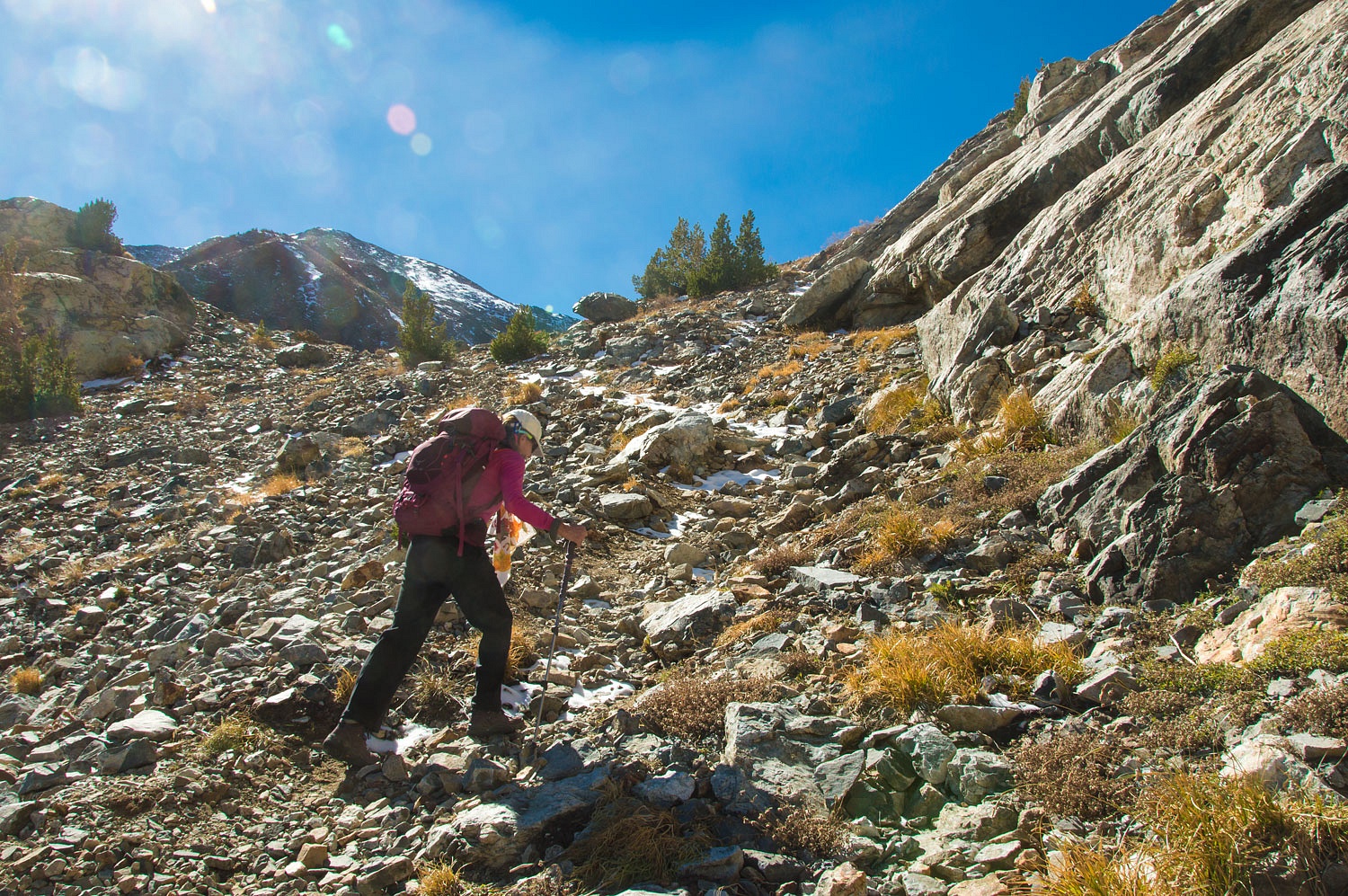
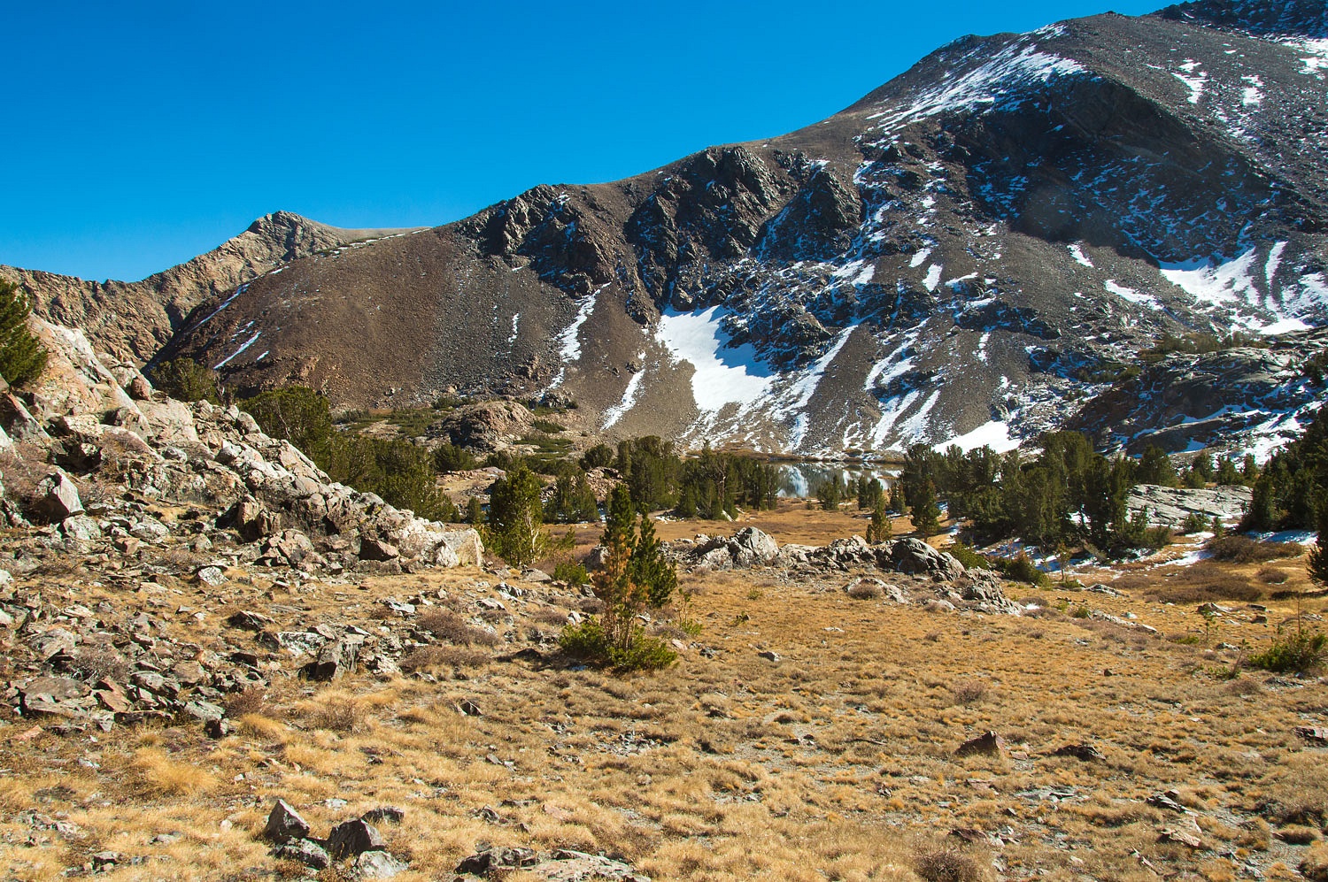
We figured
an hour more to Mono Pass. The map showed the route was straight up the cleft in
the upper right of the above photo. We'd leave Lower Sardine at 12:30 pm, be at
the top at 1:30, and give ourselves a turnaround time of two pm. It would be
three hours back down traveling at a little over two miles an hour - the same
as our upward pace.
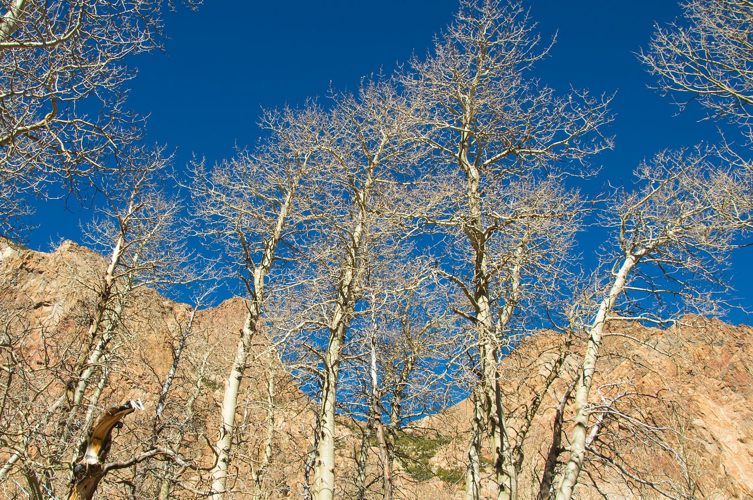
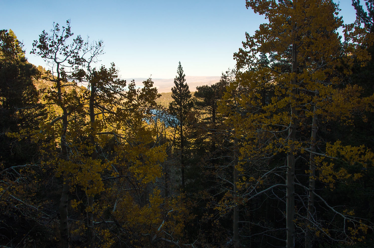
Fall in the
high country foretelling the coming of winter is absolutely stunning.
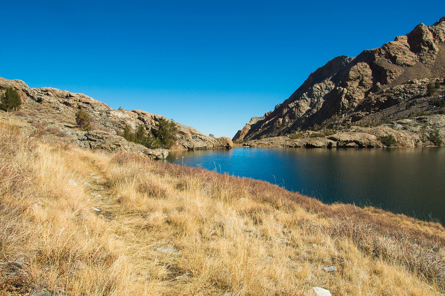
The trail
traverses around and climbs above Upper Sardine Lake.
Around every
bend now, the Lady was convinced we'd be at Mono Pass. "We should be there,"
the Lady said beginning this grade. "I can almost touch the sky!"
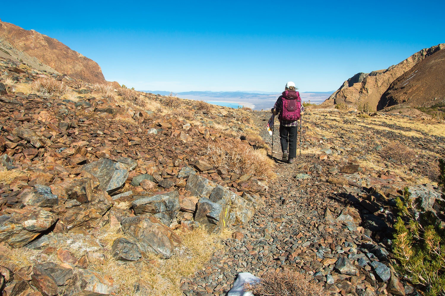
And yet, the
trail continued, but we knew we were there with the familiar vistas around us.
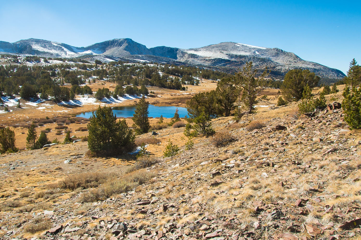
The surface
of Summit Lake behind the Lady was frozen, a sheet of ice.
Lt. Tredwell Moore crossed over Mono Pass in 1852 in pursuit
of the Yosemite Miwoks Indians. The Miwoks attempted to escape to the Sierra
east side but the U.S. Army doggedly pursued them across this ancient route.
Moore reported the discovery of a large lake - Mono Lake - and returned to the
west with mineral samples that began the flow of prospectors and settlers to
the Mono Basin.
It's
ruggedness saved Mono Pass. It would not become a wagon route. The Sonora Mono Toll Road took its
place as a route for wagons and commerce.
Mono Pass
remains unchanged. Almost forgotten, it is a quiet beautiful place. A place
where birthdays can be celebrated.
"Do you
think you'll be able to do a hike like this when you're sixty one?" I
asked the Lady as we relaxed in the sun, packs off, legs stretched out, our
backs against rocks, munching away from our bags of snacks.
"You
mean tomorrow?" she asked. "Yeah, I could do this again
tomorrow." She slowly looked all round and nodded her head in the
affirmative. "This is a good birthday present!"
We left Mono
Pass at 2:15 pm. It never hurts - with good weather - to linger in the Sierra
high country.
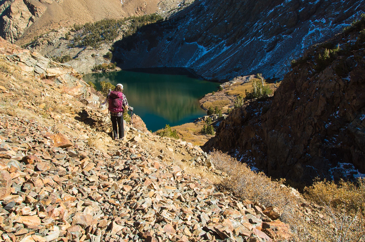
The steep,
some might even consider treacherous, descent back to Lower Sardine Lake makes
its naming easy to understand - a load of sardines went into the lake.
We propose
it would have been more fun if the lake had been named in honor of the mule that
went in with its cargo of sardines, maybe Zeke Lake or Anna Belle Lake?
The route
continued down, down, down with us surrounded by bloody colored rocks.
The canyon
was in deep shade when we reentered the timber lower in the canyon. Cold bit
into our faces with the wind.
The long climb
up from Walker Lake to the trailhead felt good. We changed into fresh clothes
at the truck, felt refreshed and started our drive down to Lee Vining around
quarter to six. Early in the day we had agreed we'd have dinner at the famous
Whoa Nellie Deli.
Note: More information on Mono Pass and the early days of settlement in Mono Lake Basin can be found here -
Yes, it was
busy at Nellie's even on a Sunday evening. With the cold wind, no one ate
outside. A woman, Vicky, invited us to share her table. Vicky has worked for
the concessionaire in Yosemite Valley, all seasons, for years and has housing
there. Vicky loves to dance and, when Tioga Pass is open in the summer, she
drives over on Thursdays because Whoa Nellie Deli has a dance band on Thursday
evenings. Dinner and dancing makes the two hour drive well worth it for Vicky.
This Sunday was for a last fall walk in Lee Vining Canyon before Tioga Pass
closes for the winter.
After a
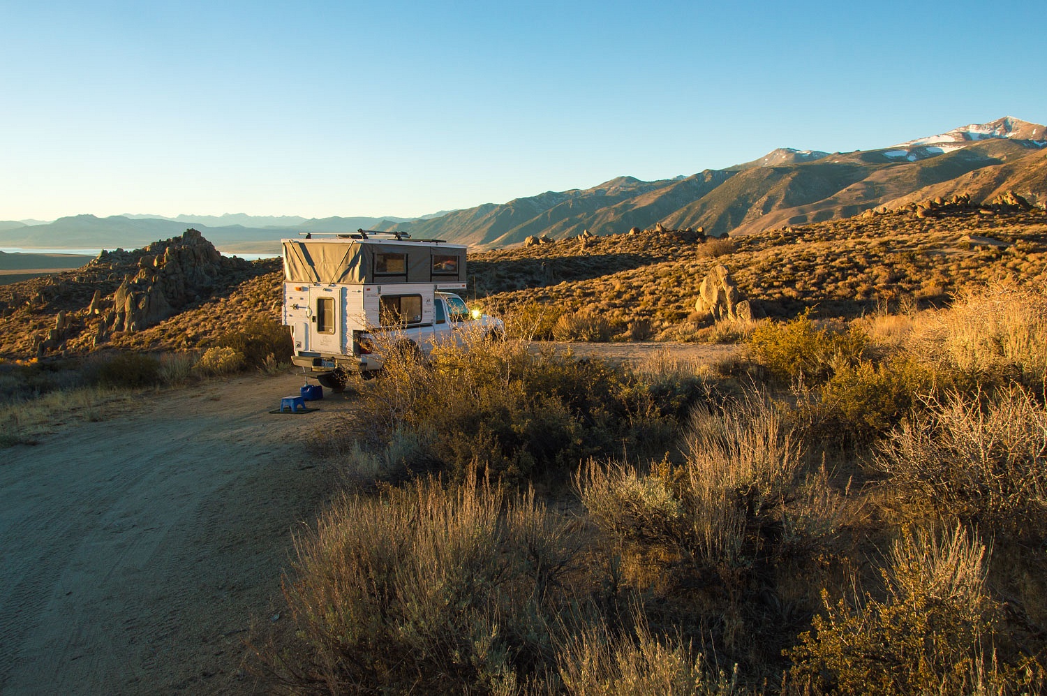
great dinner and pleasant time spent with Vicky, we needed north on 395 as dusk
gave way to night. We pulled into our favorite dispersed camp spot at Mono Diggings.
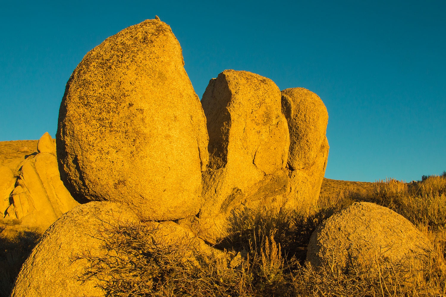
We slept
well. A great horned owl's deep vocalizations echoed among the granite
boulders. It had warmed so much from the start of our trip, we now slept with the
windows open. The cold feels so good with us snuggled in our warm bedding. The
crisp smell of sage added to the night.
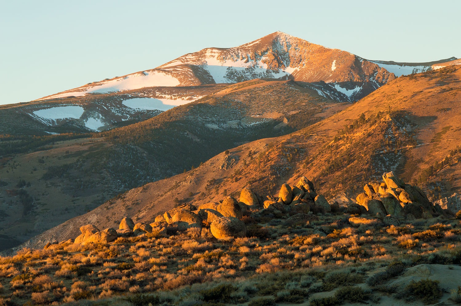
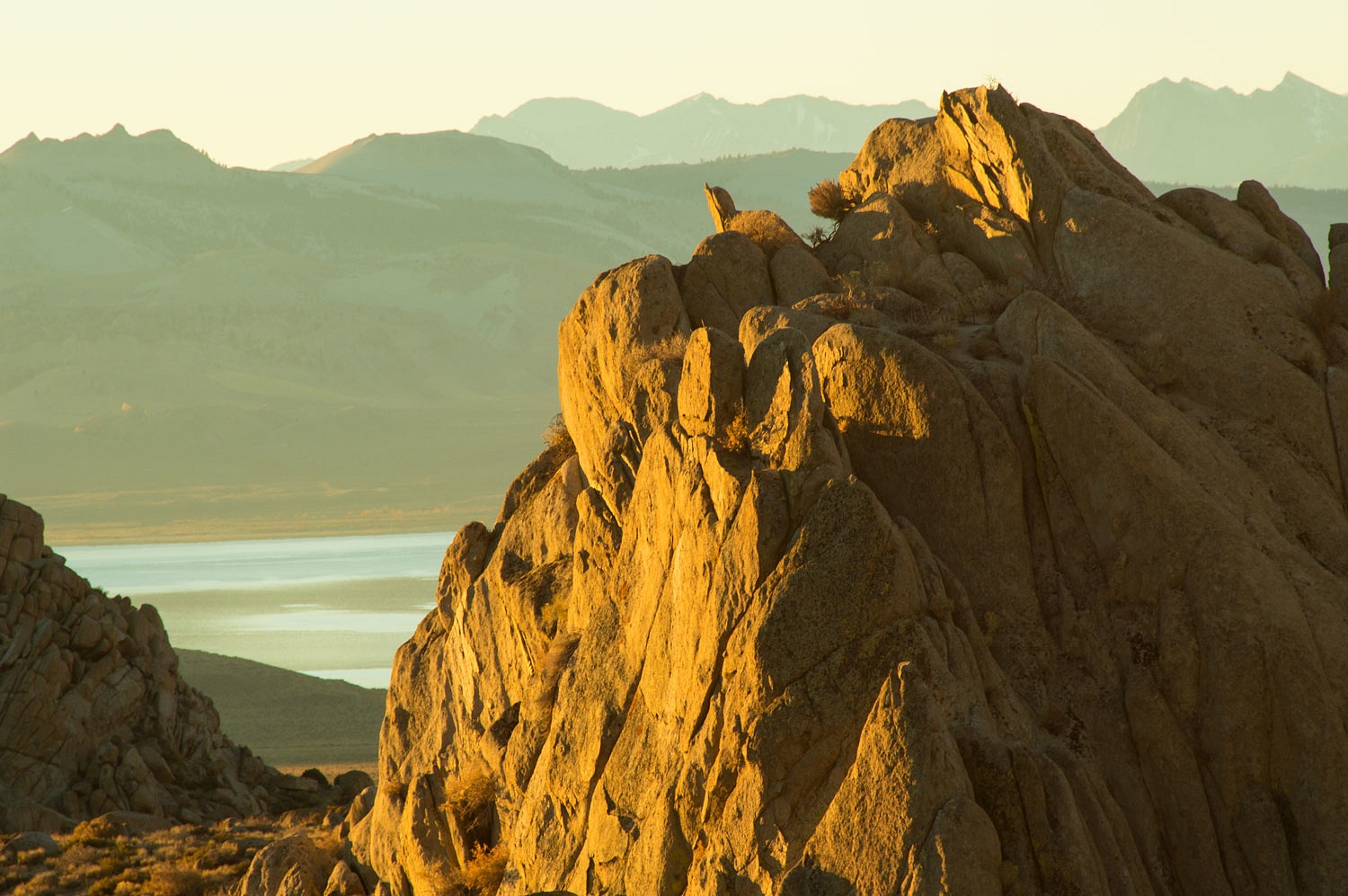
We wandered
at dawn on the Lady's birthday.
It was
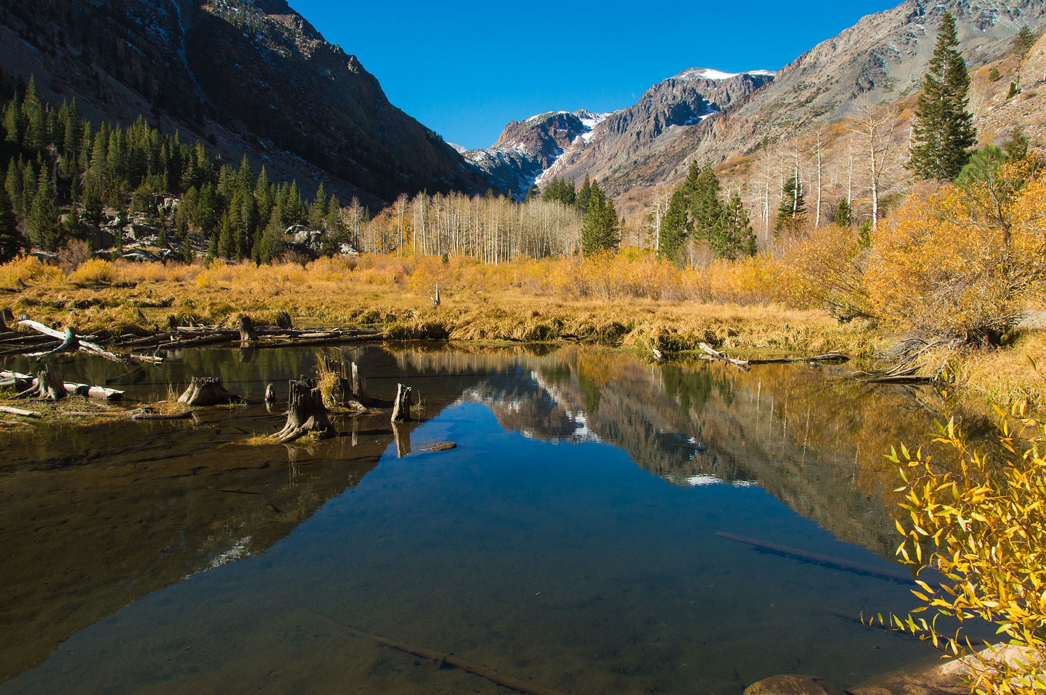
Monday morning. We took our time heading home. We were surprised so many were
still out looking for fall colors up Lundy Canyon. I couldn't resist probably
the most photographed fall scene up Lundy.
A quick
lunch at the Mono County Park in Walker and then up and over Monitor Pass ended
our trip and wanderings in Mono Basin, an adventure complete with a special
birthday present and paths through history.

