please remember you can click on a photo to see a larger version
St. Luke's
Folly, Searching for Uncle Erv, Wonder, and a birthday
"Get
the license plate number!" I called to the Lady.
I had
watched the pickup turn onto Saline Valley Road in the rear view mirror. It was
far in the distance as the intersection with 190 fell from view. And now,
almost immediately, it was roaring by us as if, at 35mph, we were standing
still. The passenger held an inverted peace sign out the window.
"Why?"
the Lady asked through the swirling dust. "Are you going to report them to
somebody?"
"Hardly,"
I explained. "I just want to be sure that if we're ever in the market for
a used Toyota Tacoma, but don't buy that one."
It was truly
amazing how fast the dust cloud disappeared beyond us and it was, again, a
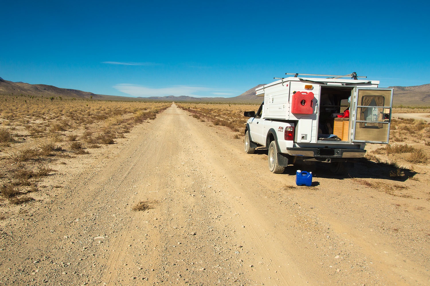
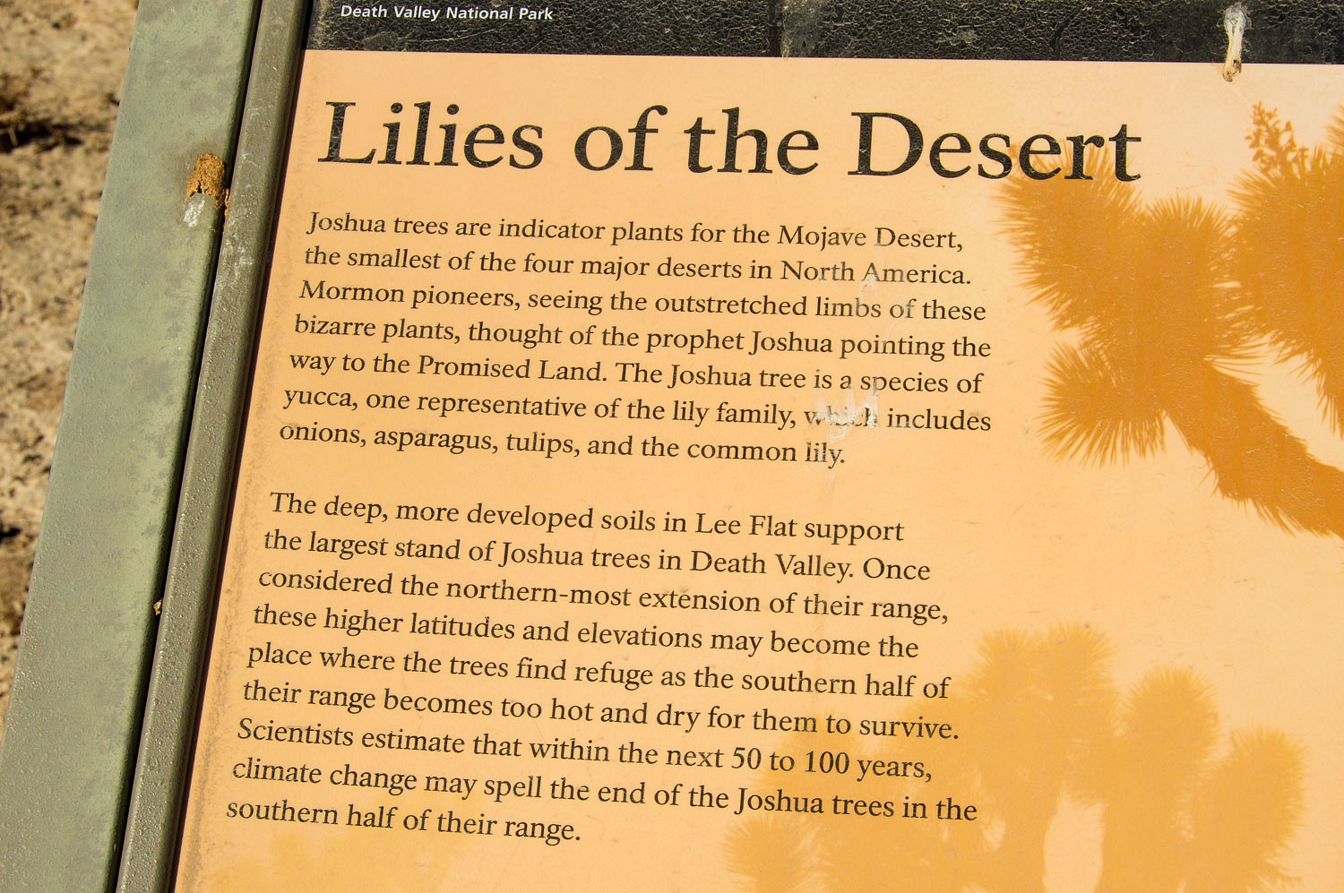
quiet Thursday. We stopped for a quick lunch at Lee Flat among its
legendary Joshua Trees.
The road
narrowed as we continued north. As we now climbed the Lady alerted me.
"There
a vehicle coming at us."
I saw dust
and a sun glint off the windshield through the joshuas and quickly found a safe
place to pull off the road. It was the Tacoma pickup. They pulled to a stop
beside us, windows went down, and the passenger, a young woman with a map in
her lap, leaned toward the driver's window. There was real hope in her
voice when she asked, "Are you going to the Springs?"
"No,
we're not," I answered.
"We
should have went right, shouldn't we?"
She sounded
so thrilled to be heading to the legendary mecca of Saline Valley Hot Springs
it stifled any comments about her and her fellow's driving.
We filled
them in on the route to Saline along with a few landmarks to confirm they
remained on the correct route over South Pass and down Grapevine Canyon. We did
not tell them we were on our way to find the first road - now long abandoned -
that was constructed to reach the depths of Saline Valley from the south.
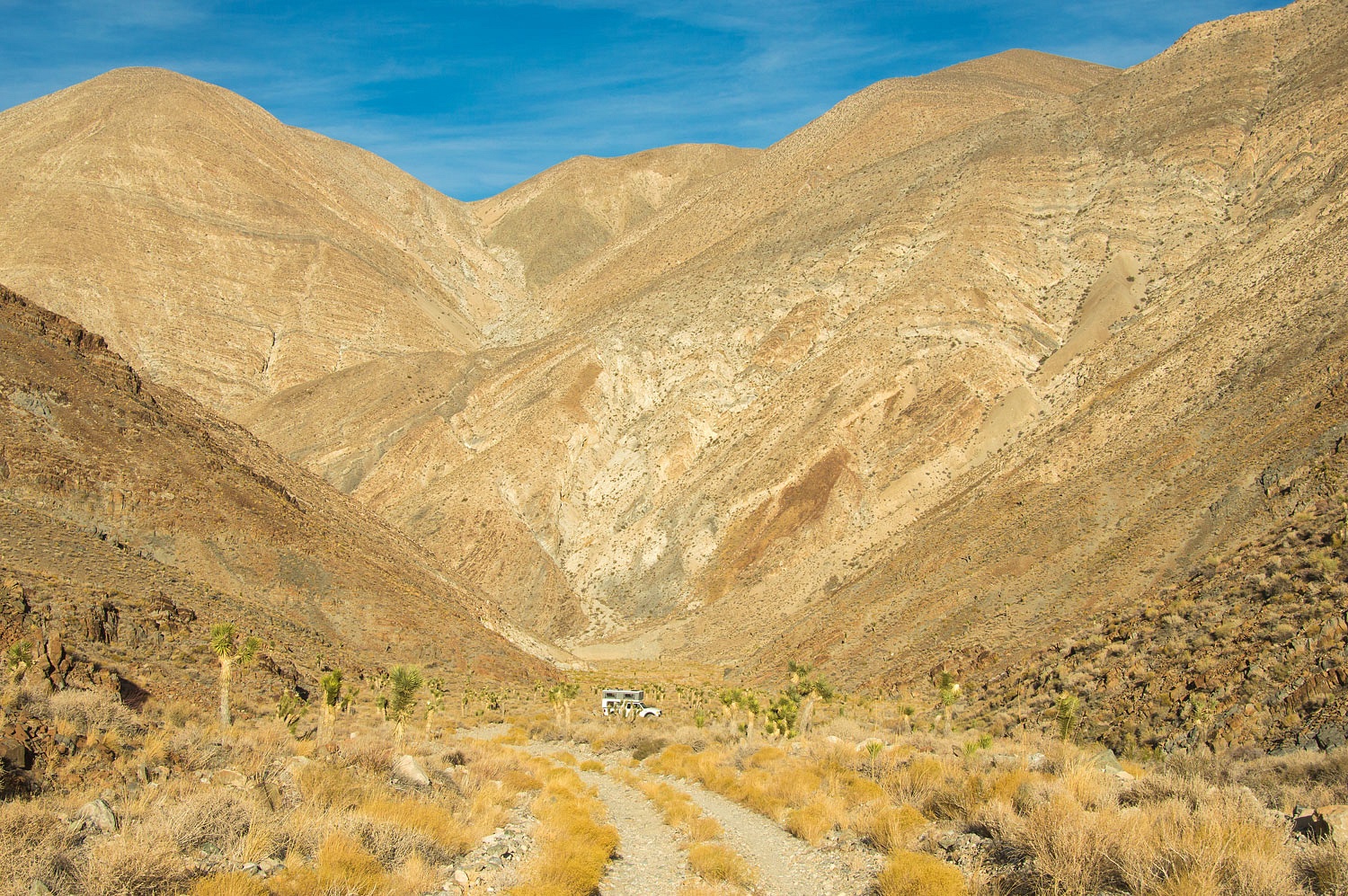
After a bit
of scouting on foot, we carefully took the truck down to the road's lowest
point in San Lucas Canyon.
The road
continues a short ways up a side canyon to some prospects. We camped right on
the edge of the Inyo National Forest's Inyo Mountains Wilderness and Death
Valley National Park's Death Valley Wilderness, land now
protected and preserved as wild and free. Thank you 1964 and for one time our government
could come together and do something because it was right.
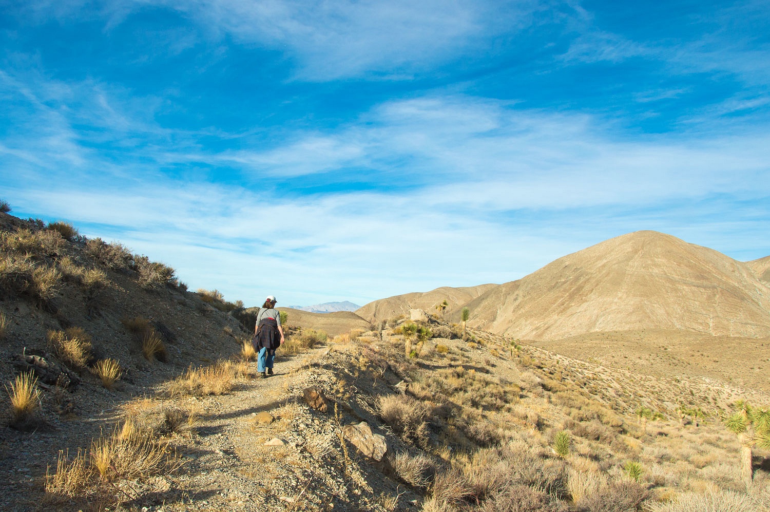
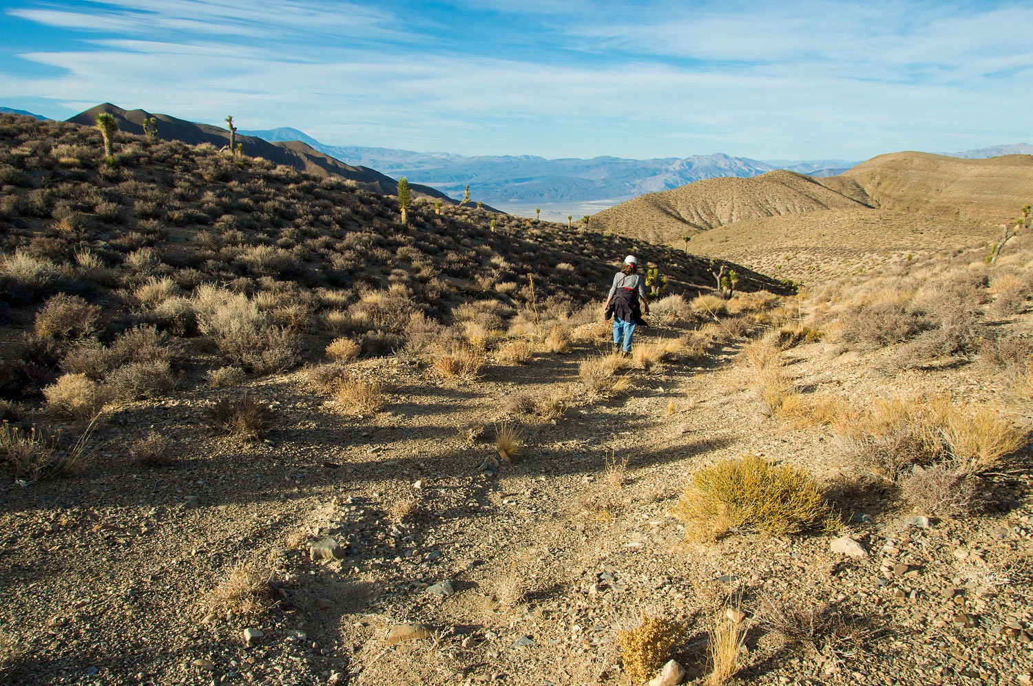
Since we
were going down canyon in the morning, for an afternoon walk we headed uphill
and explored ridges for views and orientation.
We decided
to traverse a ridge and dropped into a side canyon as it offered a distant view
down into Saline Valley.
The valley's
large salt (NaCl) deposit was noted in the 1860's but due to the isolated and
rugged terrain it was not exploited until 1903, beginning with the Saline Valley Salt
Company. Transport was by mule pulled wagons out the northern end of the valley.
This venture only lasted two years. Salt harvesting began again in 1911 with
the building of an aerial tramway 13.5 miles in length up and over the Inyo
Mountains to the railroad on the north end of Owens Lake - the famous Saline Valley Aerial Tramway. The
construction project wiped out the salt company's finances and the operation
was leased to a newly formed Owens Valley Salt Company. This venture lasted
until 1918. The costs of running the vast system always proved to negate any
profits. A short attempt to revive salt mining was tried again in 1920 by the
Taylor Milling Company. It lasted less than a year and the tramway fell into
disrepair. Five years later a new company was formed, The Sierra Salt Company.
Their idea was to transport salt out by truck via a road on the south end of
Saline Valley and the company talked Inyo County into getting involved with its construction. The route was via
San Lucas Canyon.
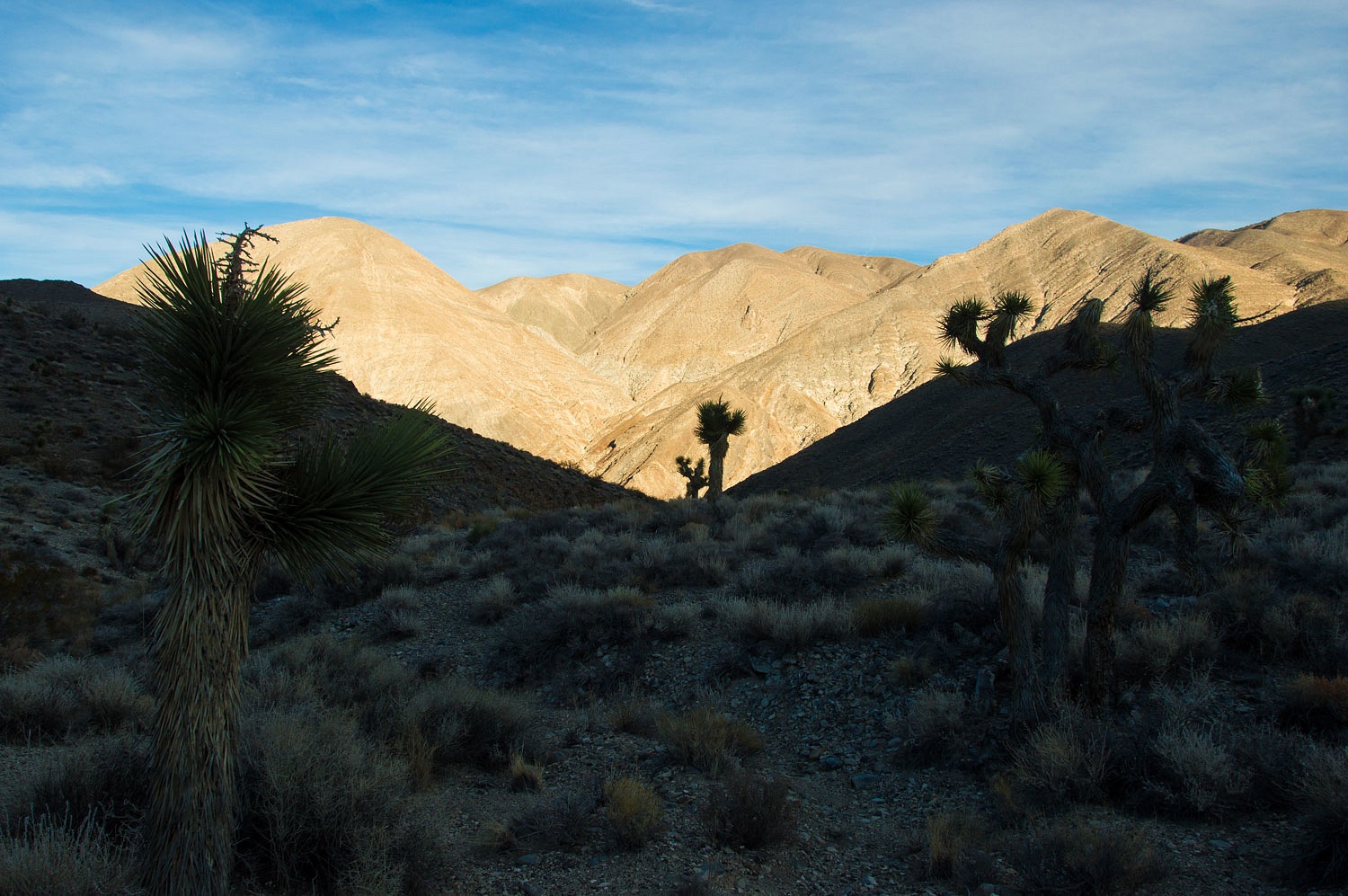
Shadows were
long in the now late afternoon.
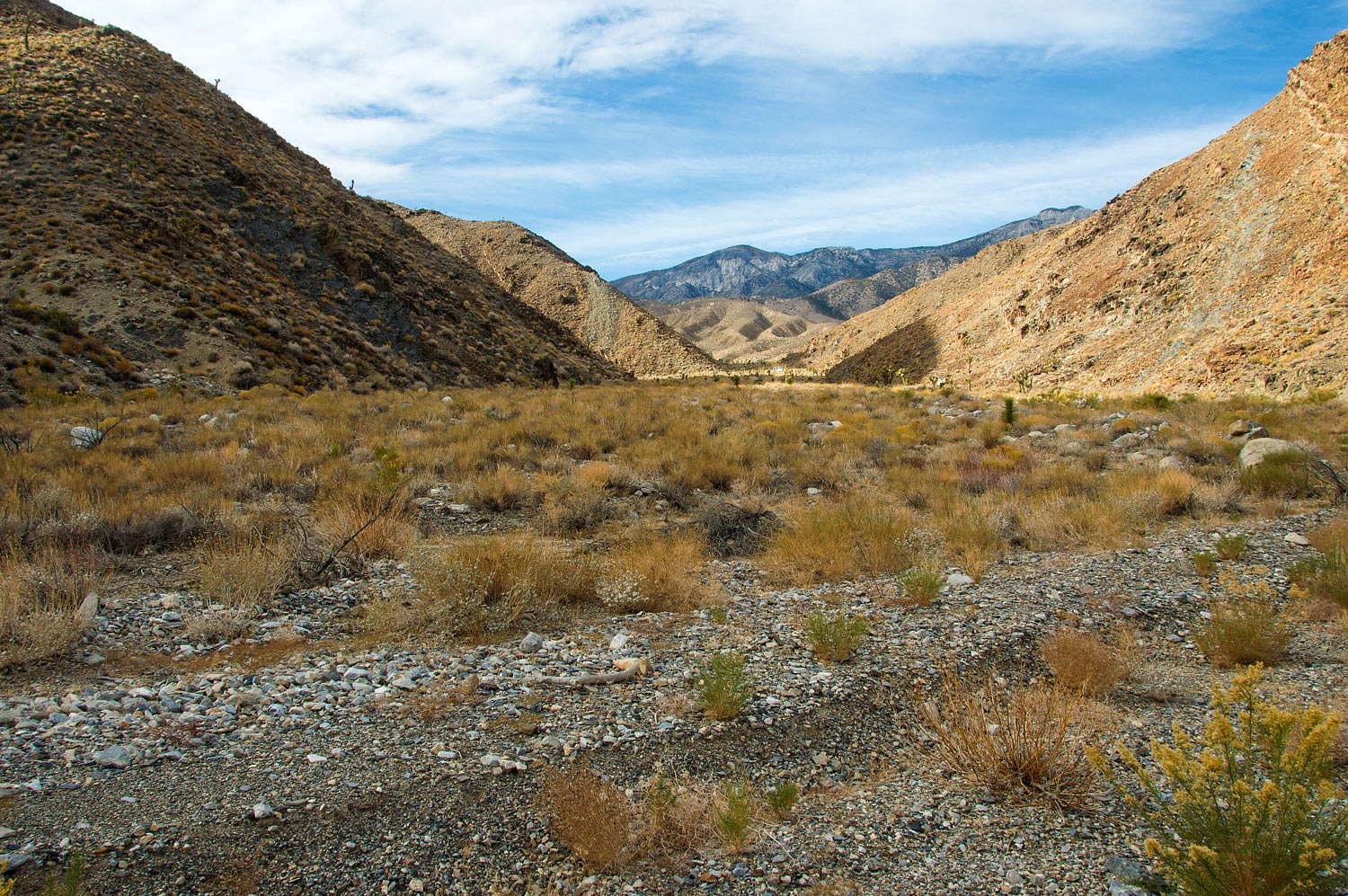
We descended
a long side canyon that connected with San Lucas Canyon well below our camp.
This would make a nice circle back home to our cozy camper.
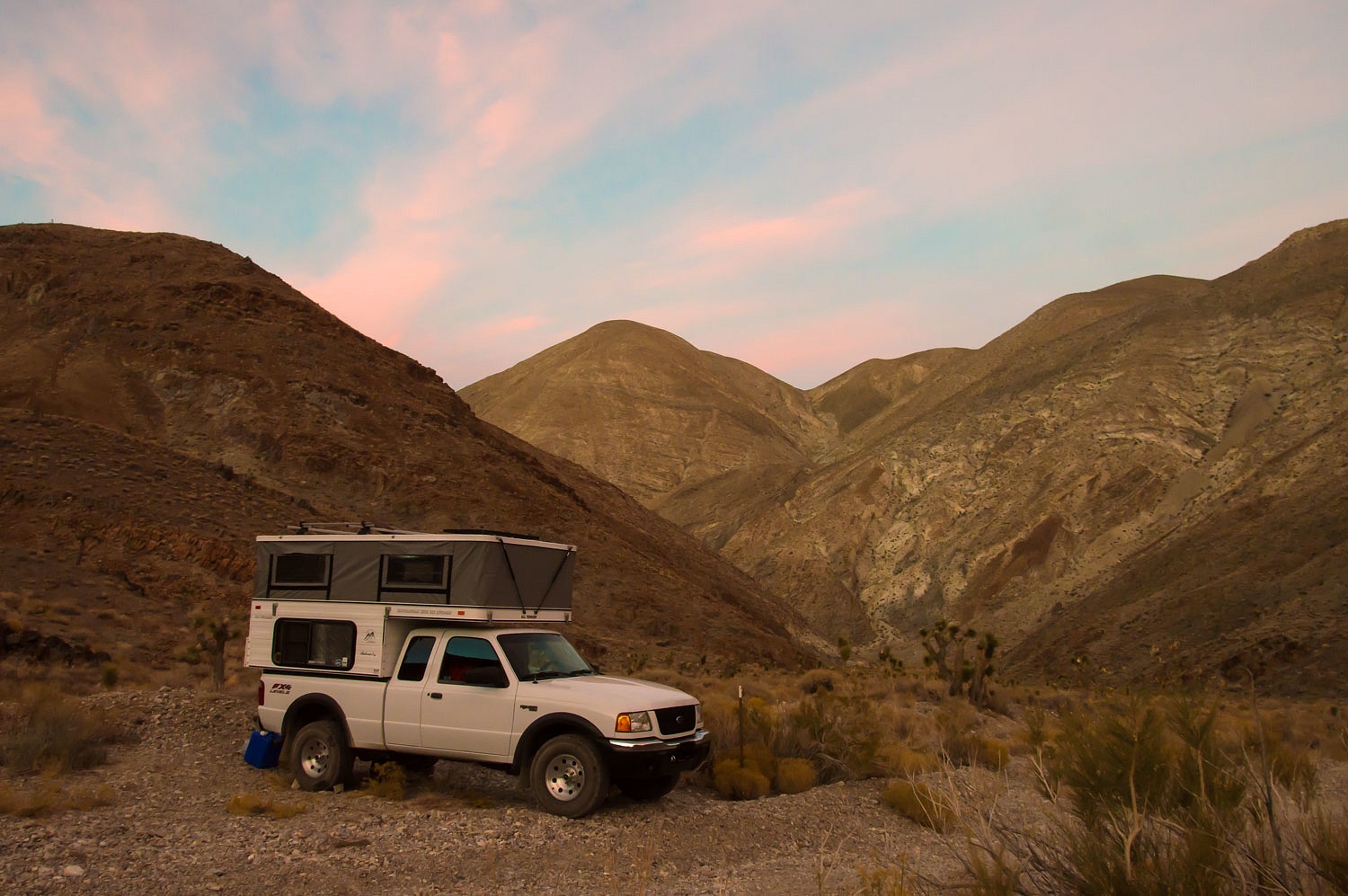
We arrived
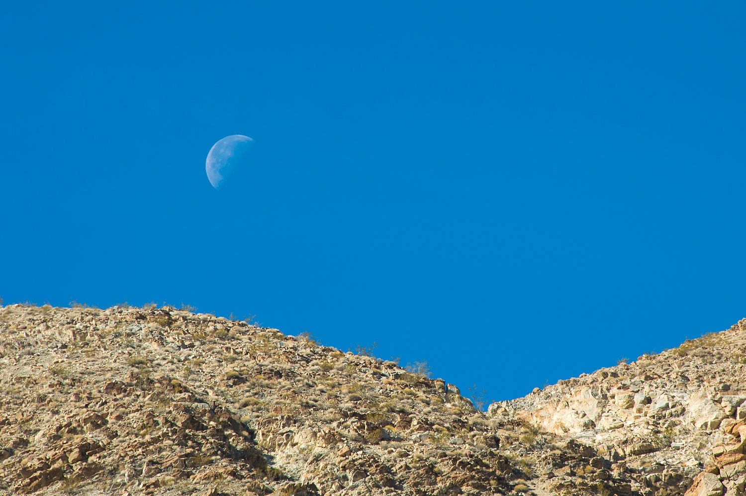
just in time for evening color.
The next
morning found us out on our coffee walk watching first light bathe the crest of
the Inyo Mountains above us.
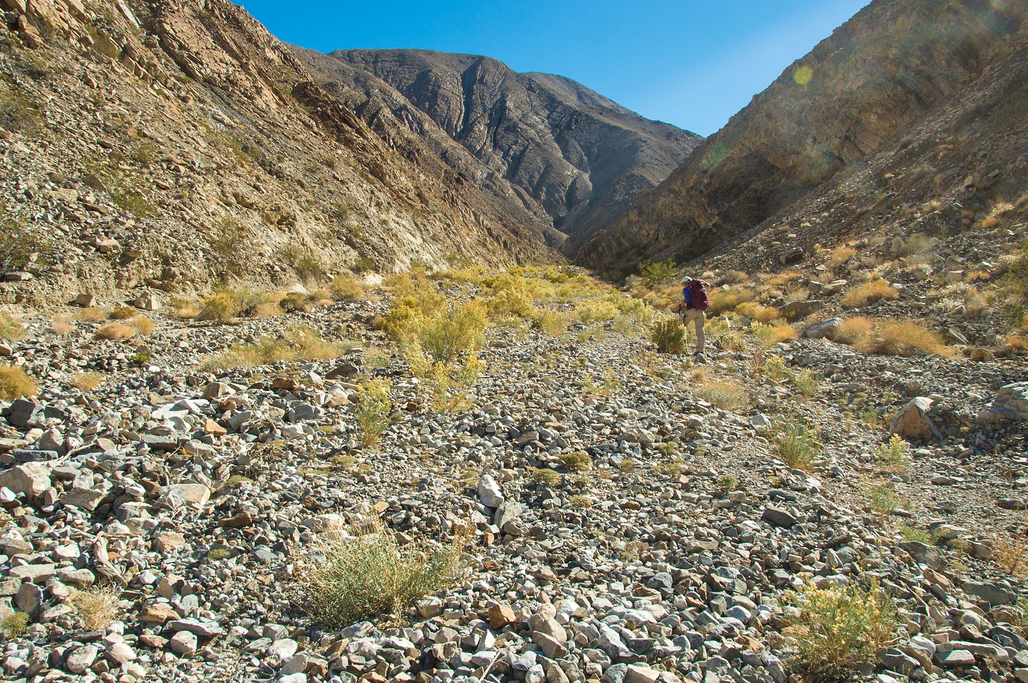
After a
breakfast of goat meal and blueberries, with packs and boots on we started down
San Lucas Canyon. As we rounded the first bend we took one last look back at
the truck.
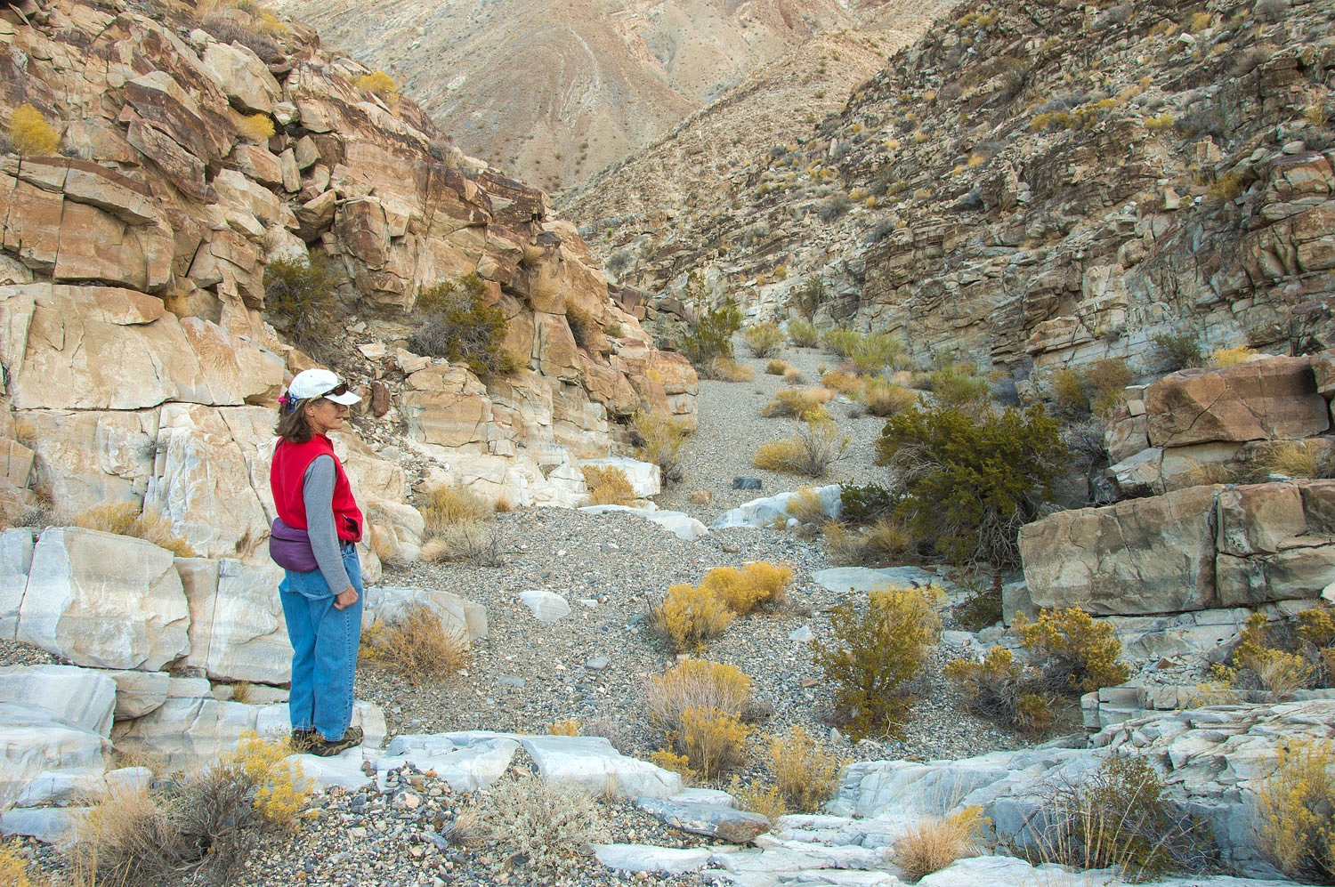
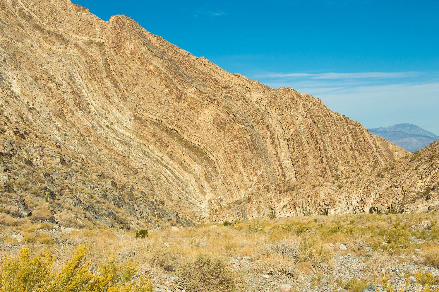
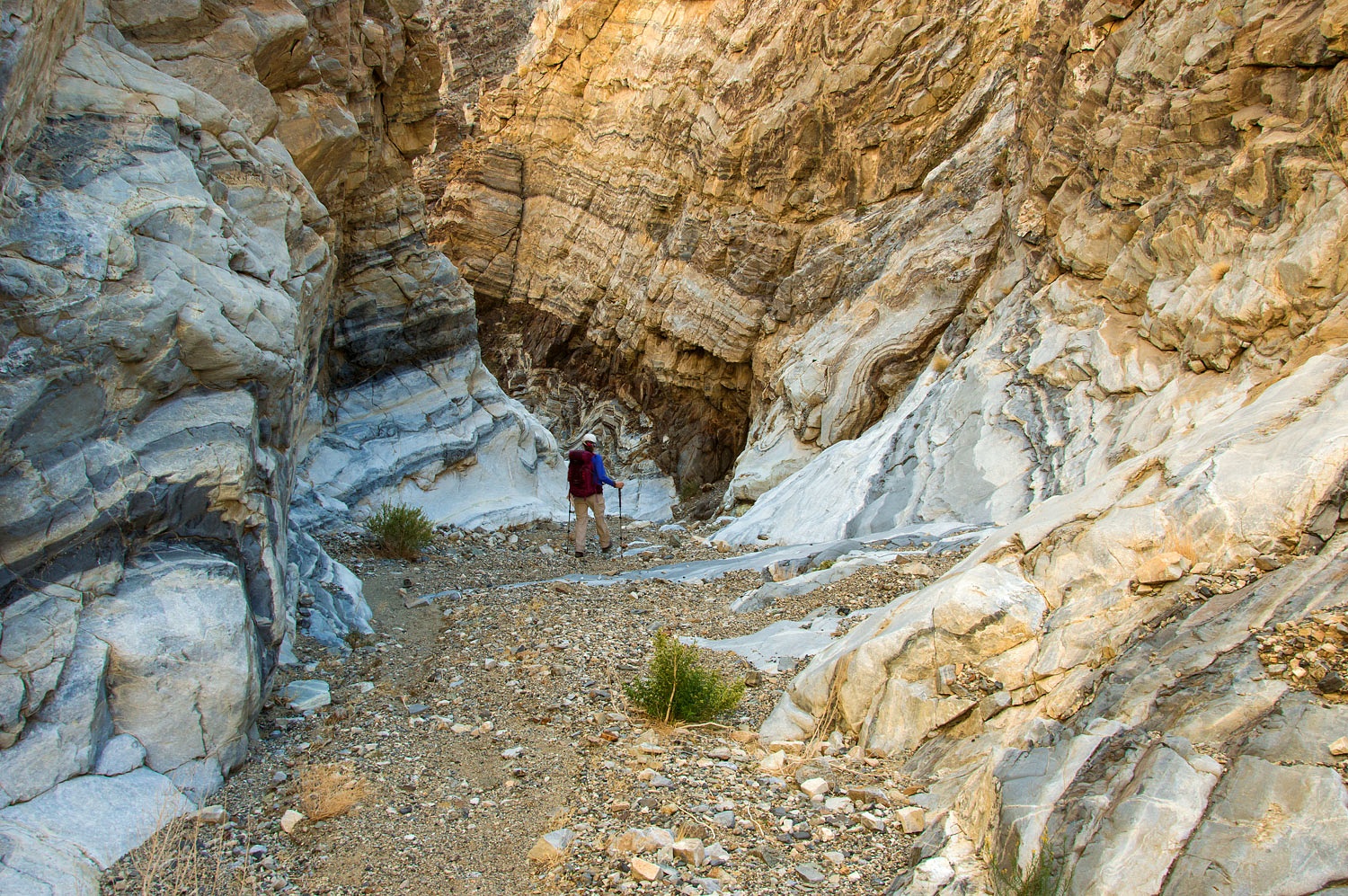
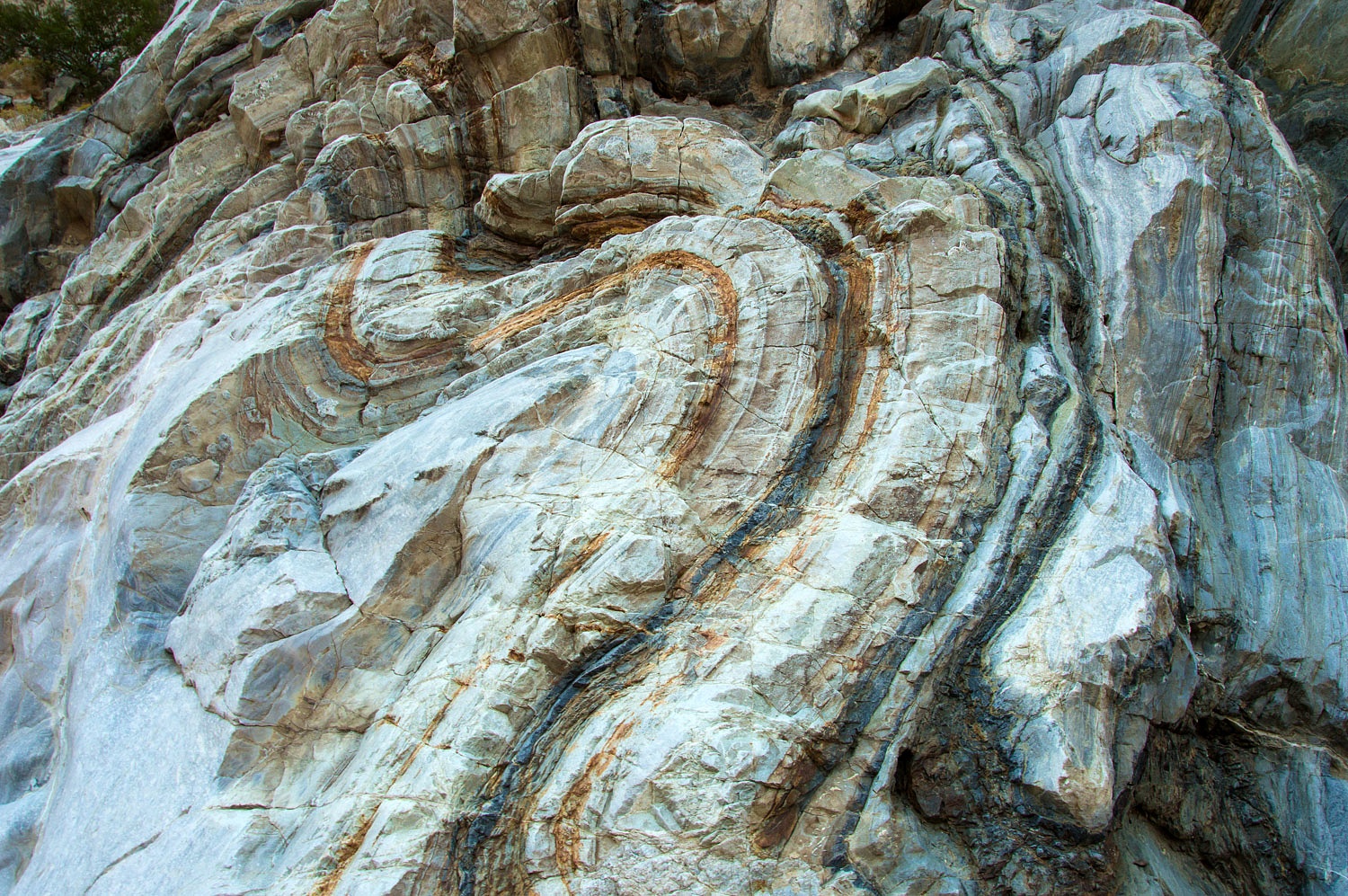
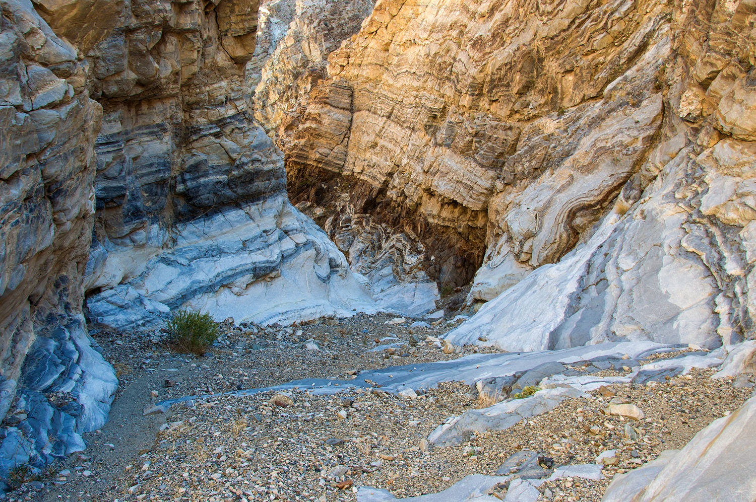
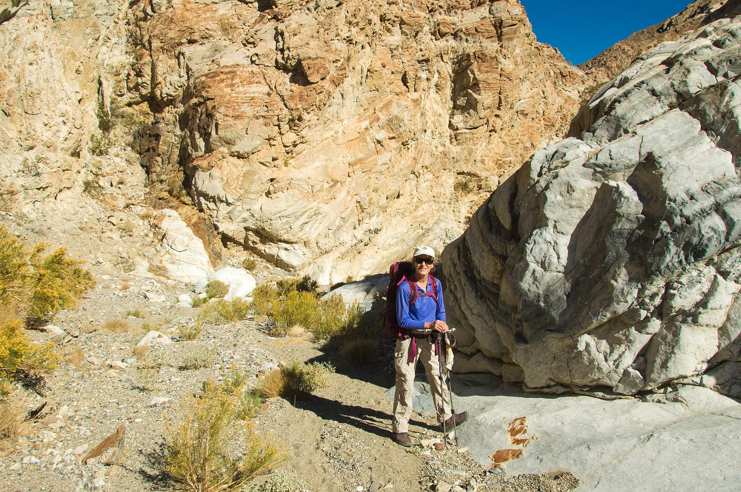
We continued
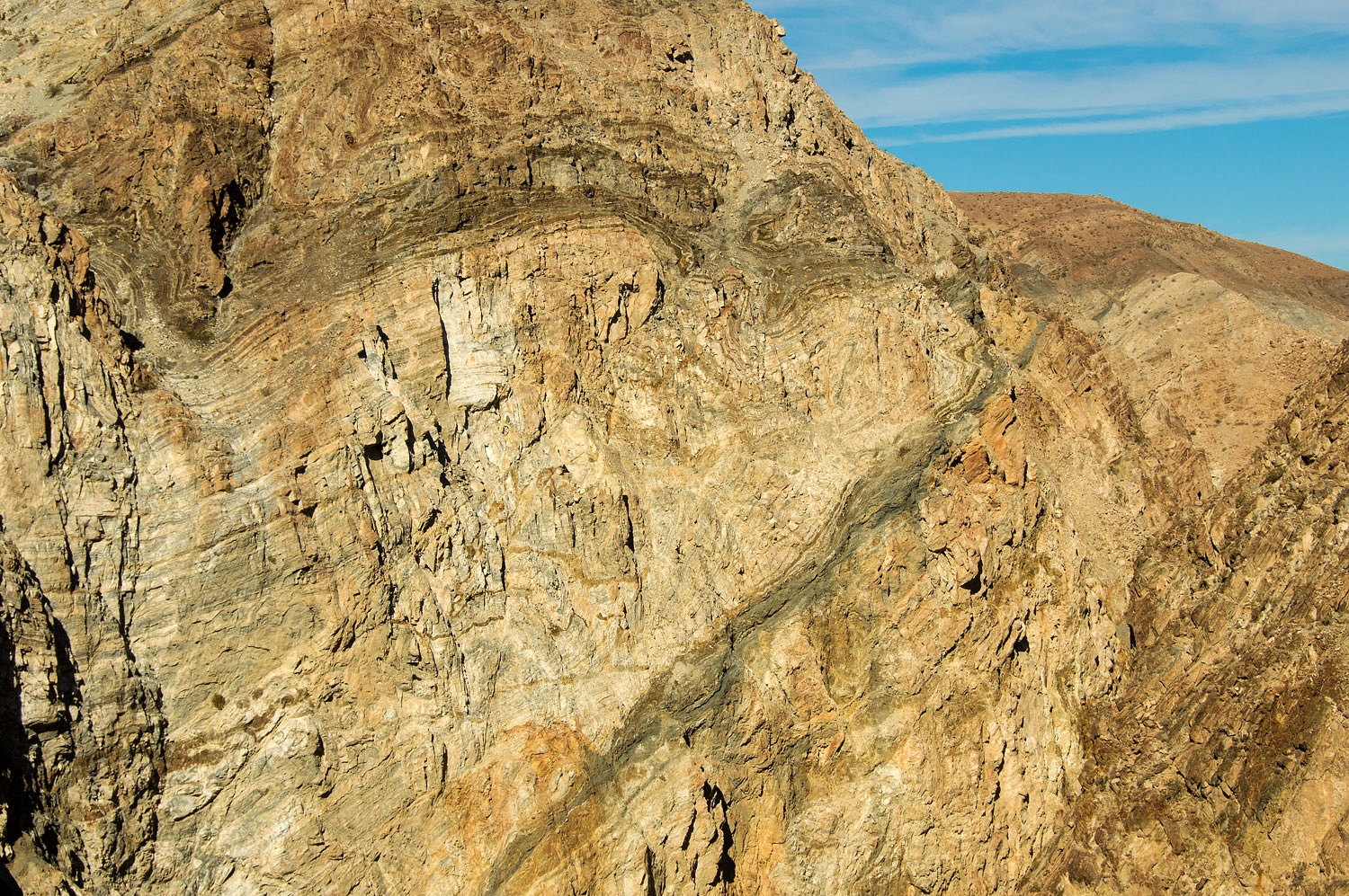
down and with rock like this we knew we were in for a treat today.
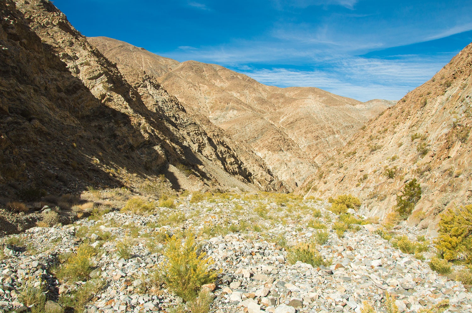
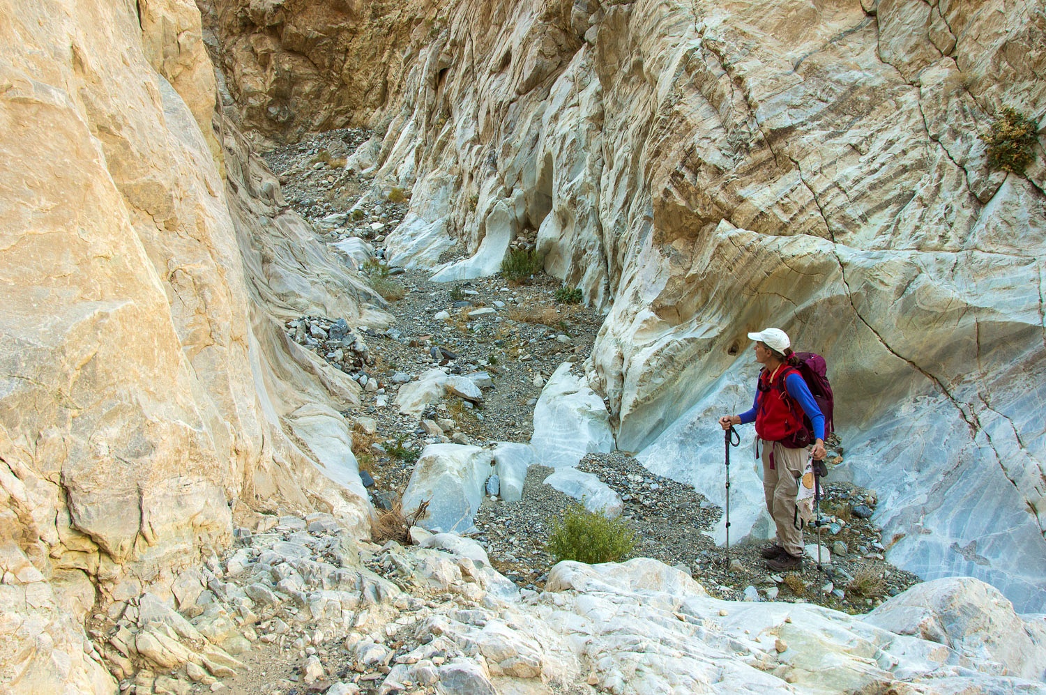
Finally the
canyon narrowed and we descended a series of easy pour overs.
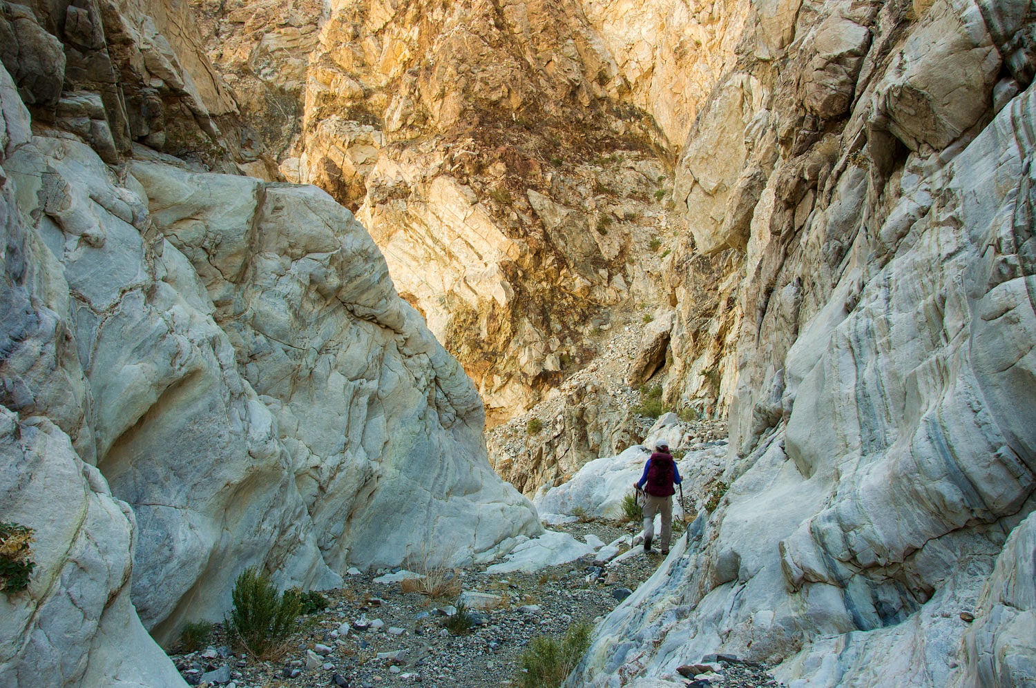
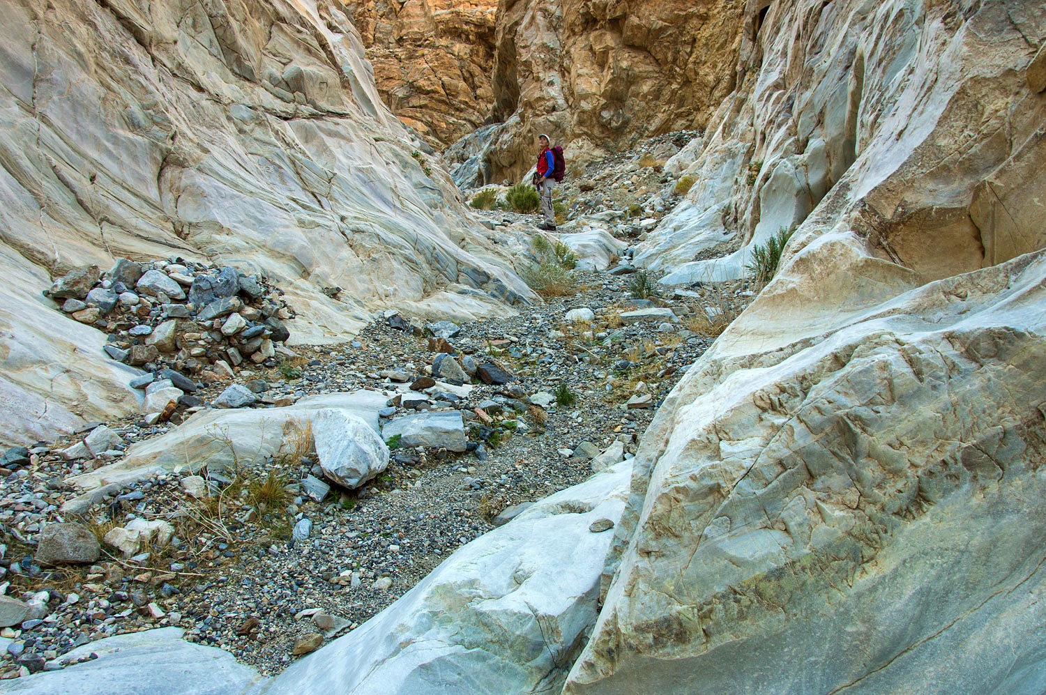
Then came
what we named the mile long corridor - a long straight section of canyon.
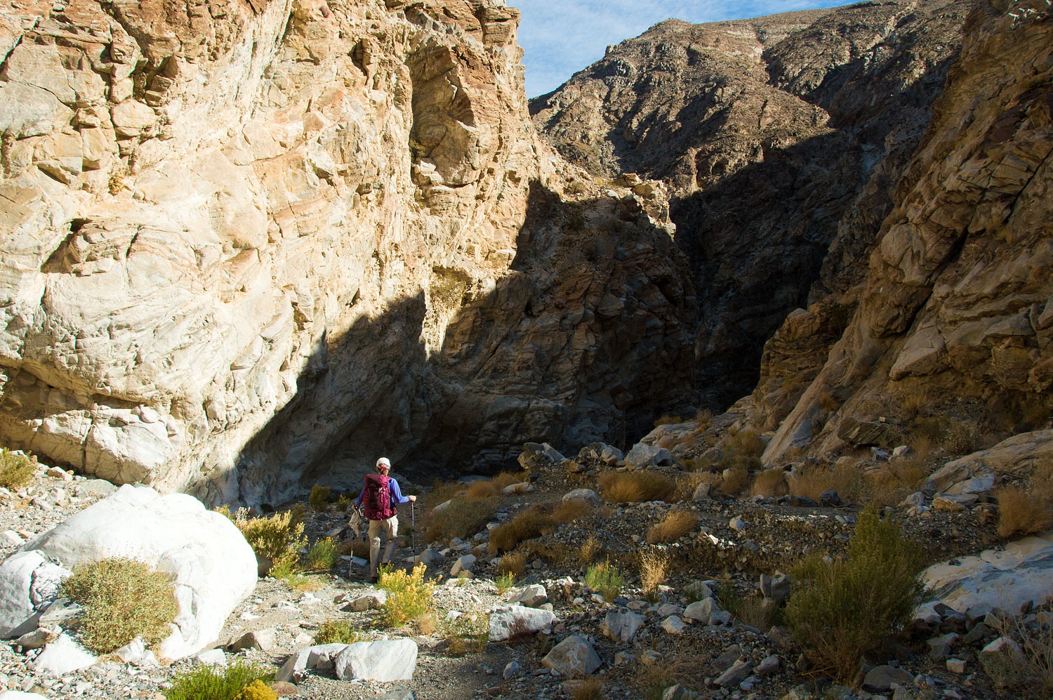
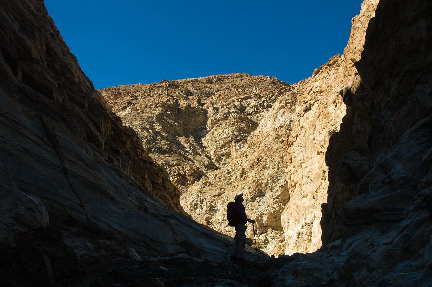
The canyon
narrowed and things got very exciting.
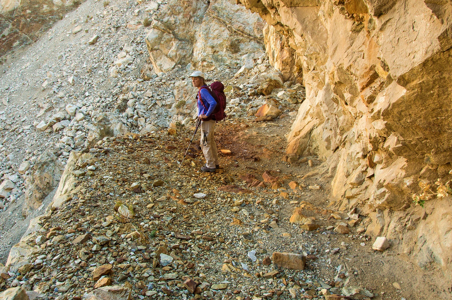
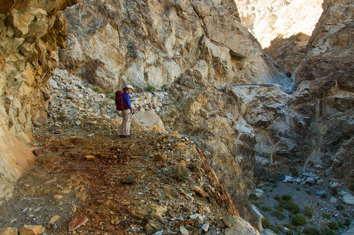
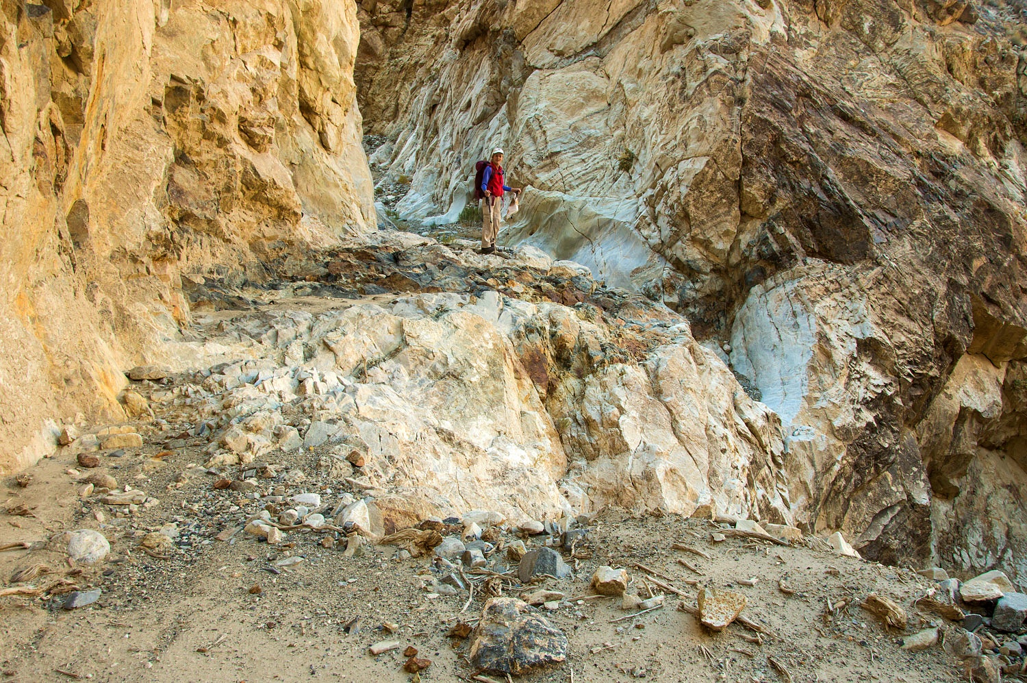
We had
reached what we had came to see - the remains of a road blasted out of the vertical
canyon walls at the top of a series of impassable falls.
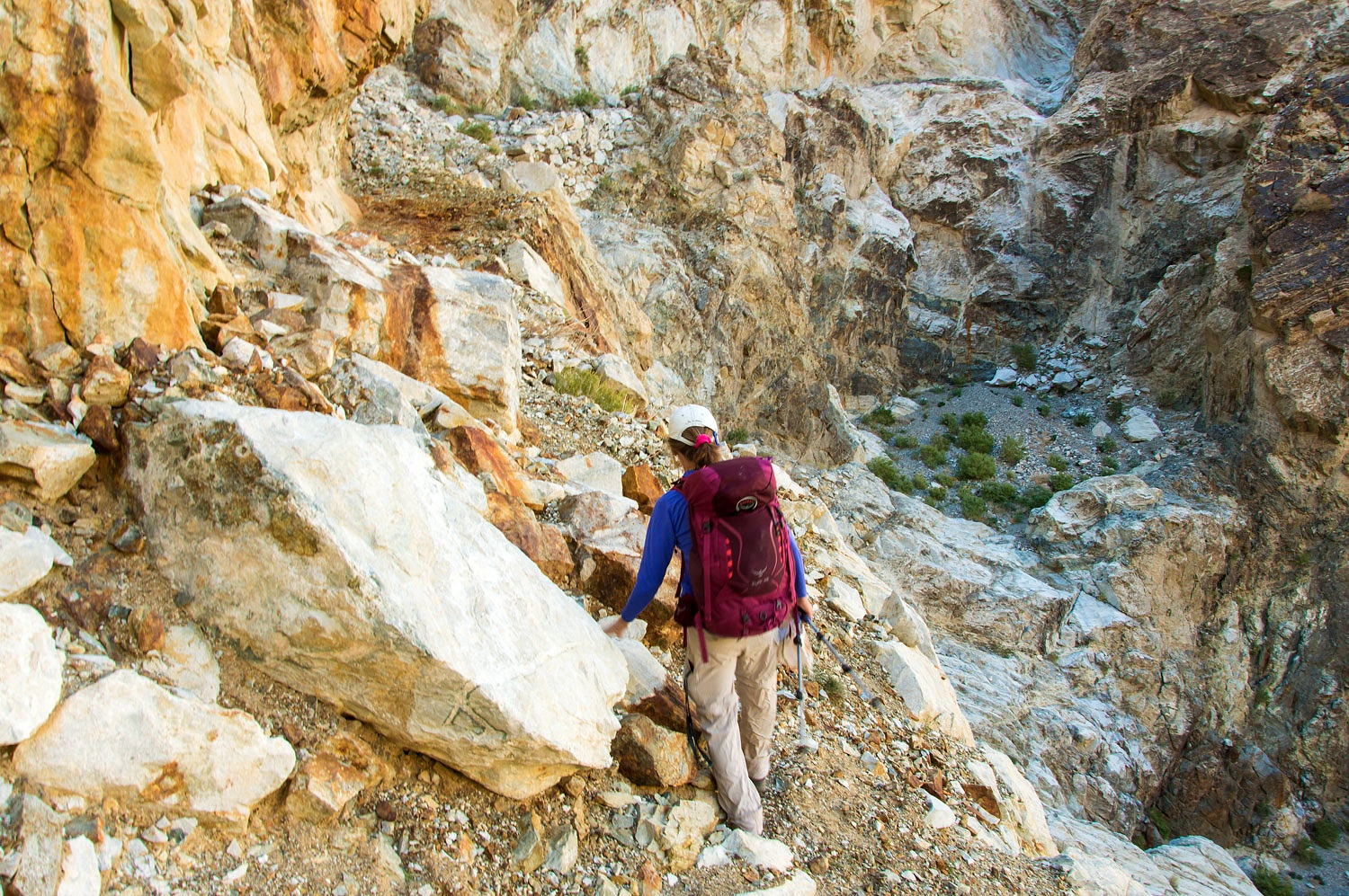
What were
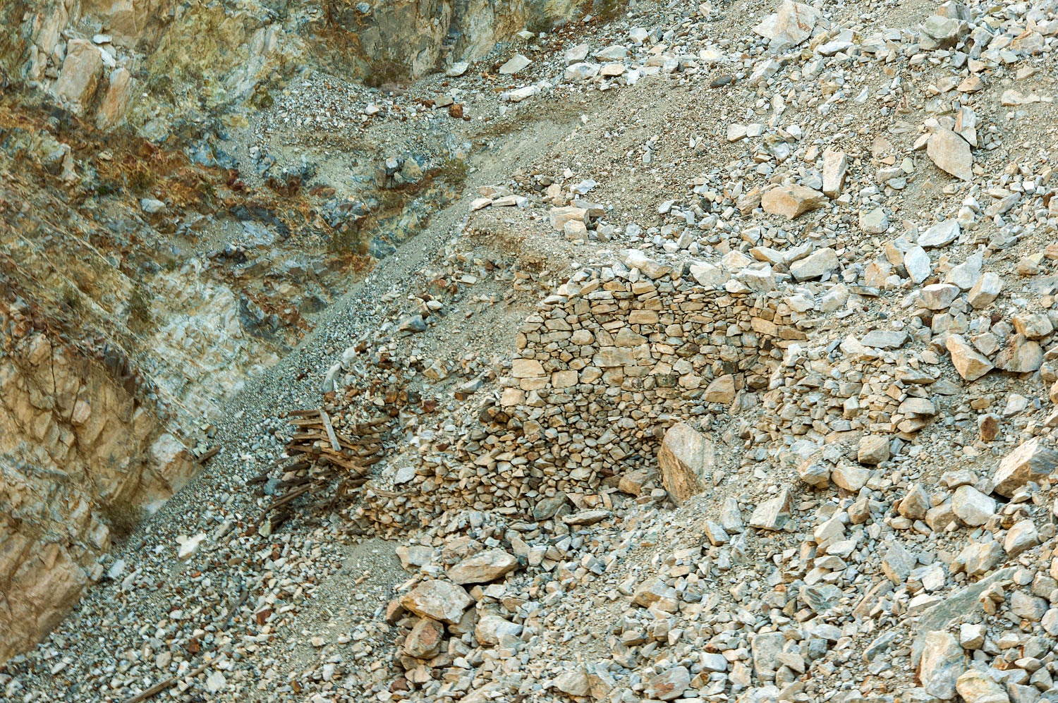
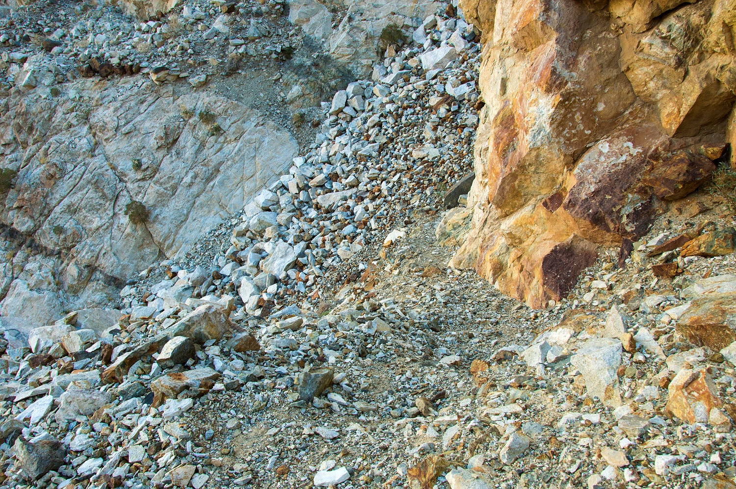
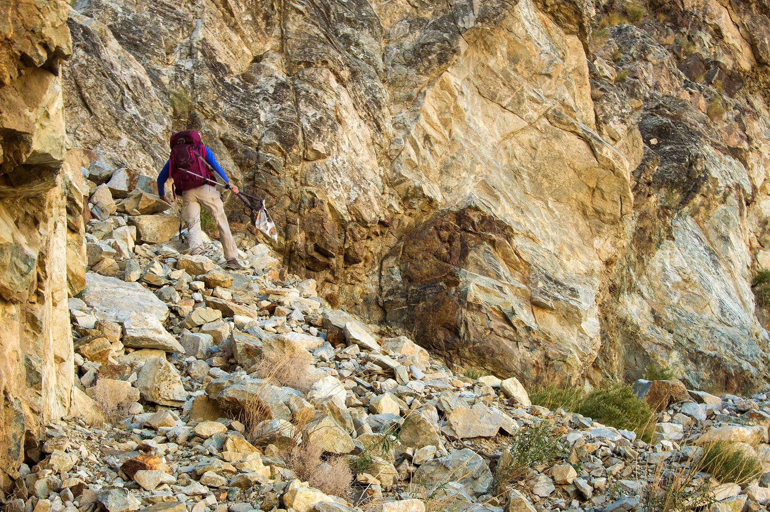
they thinking? After the blasted area, the road crosses a large landslide path.
Here the road appears to be constructed of fill all supported by stacked rock
and timbers. This is the bottom of a switch back turn.
Most of
everything is long gone. This is very dangerous, unstable terrain.
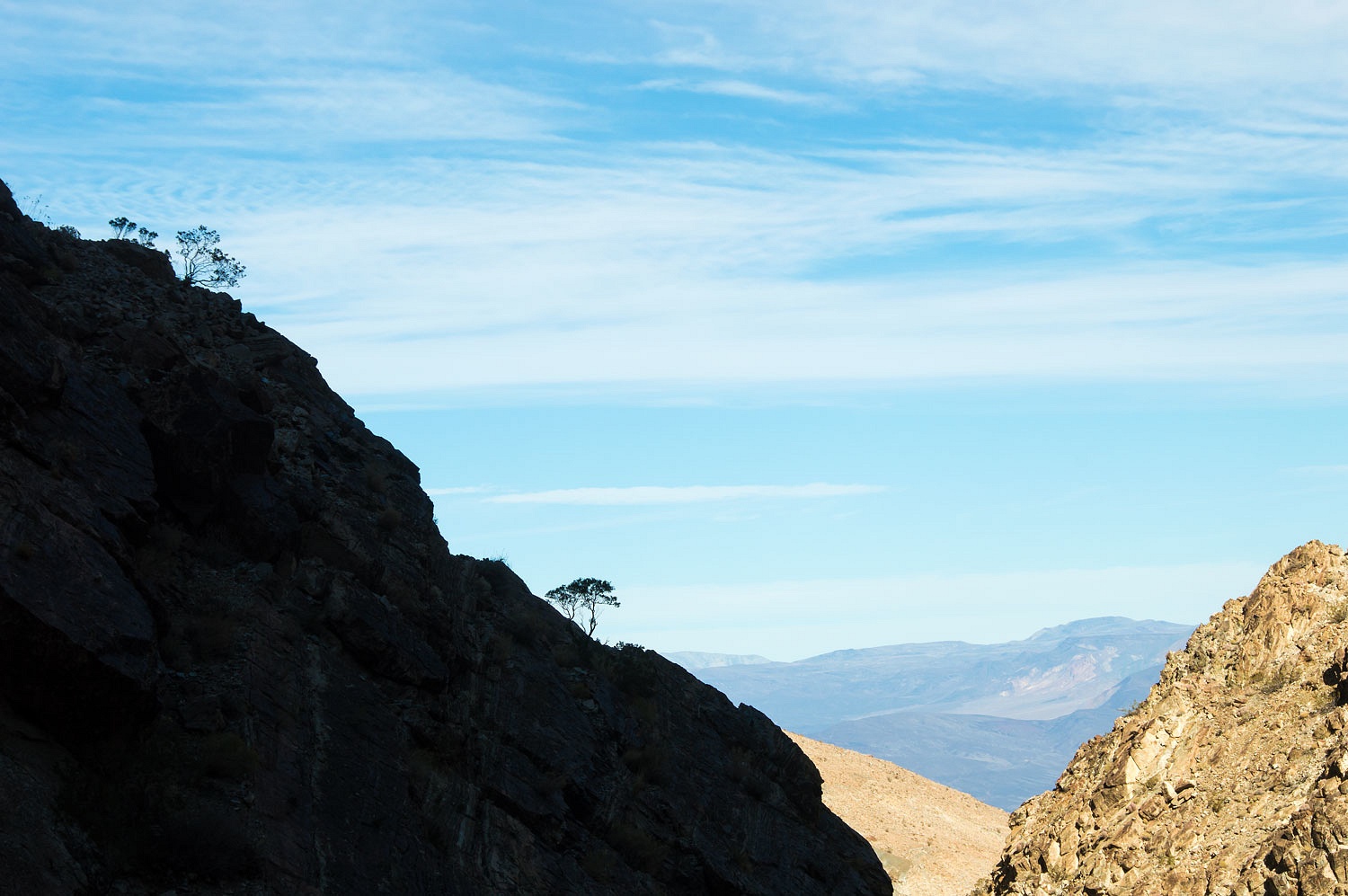
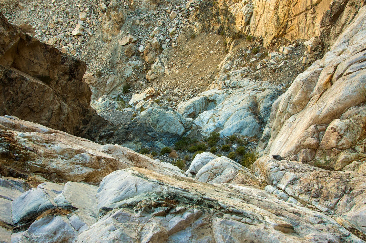
The photo
below is part way down. The view down into the canyon is still not quite the
entirety of drop in elevation in this amphitheater.
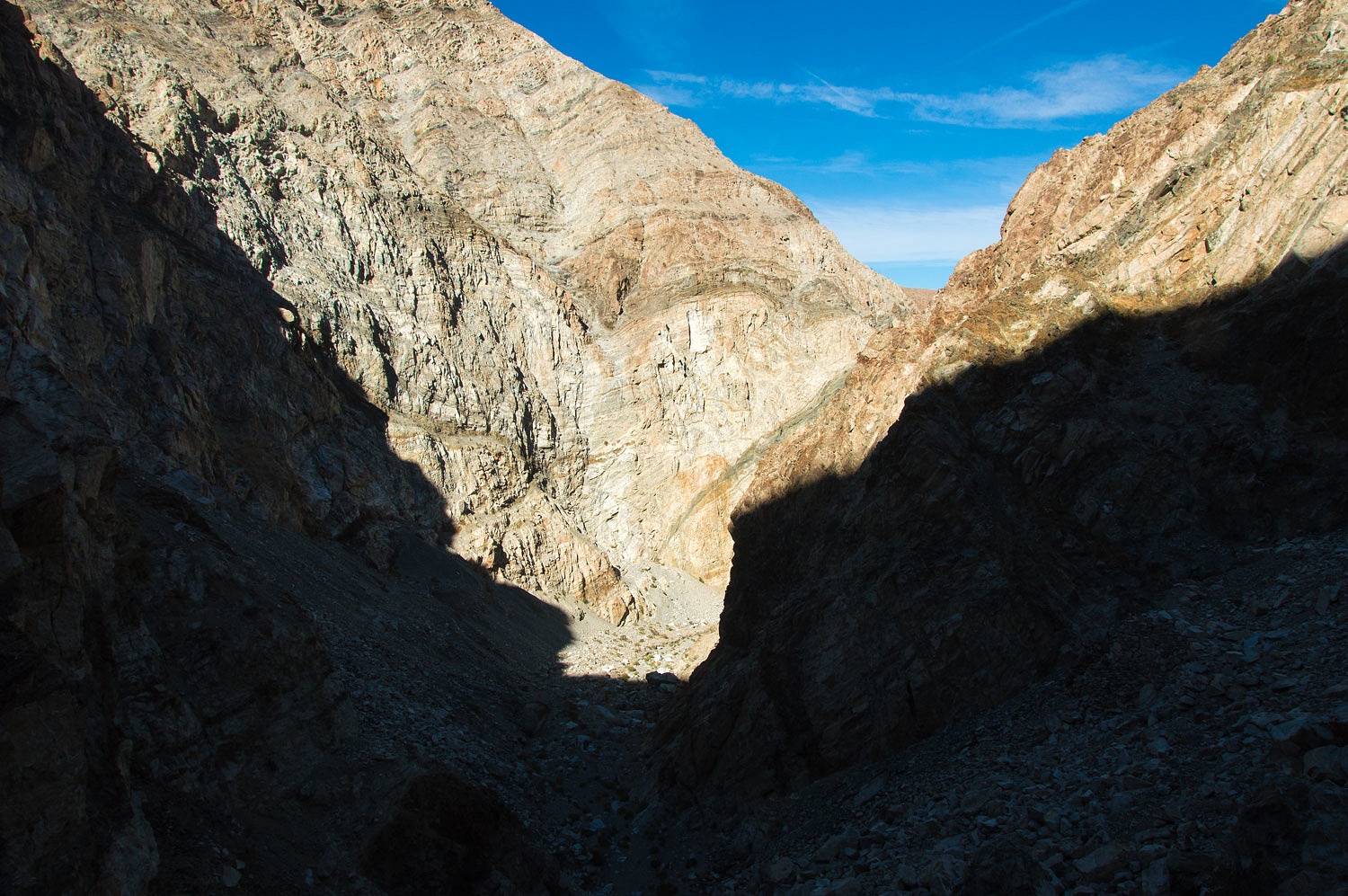
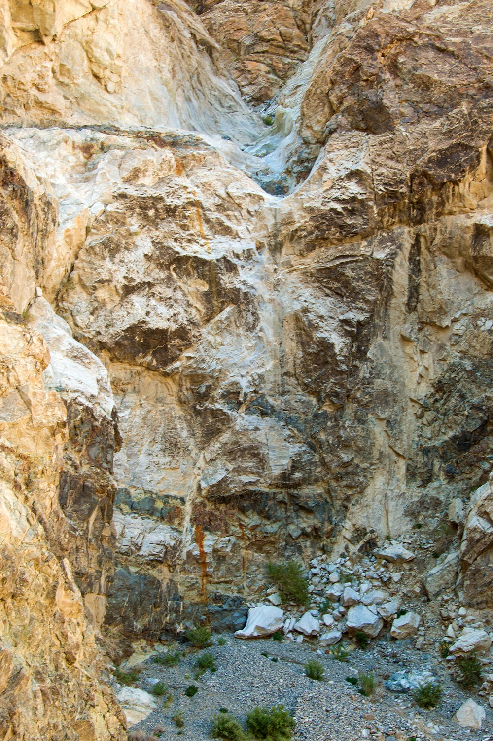
Here is a
shadowed view to the canyon bottom.
What an incredible folly! You may accuse me of having the benefit of hindsight, but
after two years of construction putting a road here and vast amounts of effort
to try to keep it in place, it was quickly abandoned in favor of building a
road down Grapevine Canyon into Saline Valley and overhauling the aerial
tramway. Salt was trucked out the new Grapevine Canyon route - now Saline Valley Road - until 1929 when the
tramway was back in operation. The Sierra Salt Company ceased operations in
1930. It just did not pay to mine salt in Saline Valley. St. Luke's Folly was long forgotten.
If you have interest,
here is a link to a series of historical photos of the salt mining operation,
the tramway, and a few of the San Lucas Canyon Road, available on the Eastern California Museum's website - Saline Valley Salt Tram.
However
amazing it was to see the effort poured into this road building endeavor, part
of us yearned to see how this looked prior to the destruction. This has to be
one of the deepest canyon drops forming an amphitheater in the Inyos. It is a beautiful
place.
We spent a
bit over an hour here.
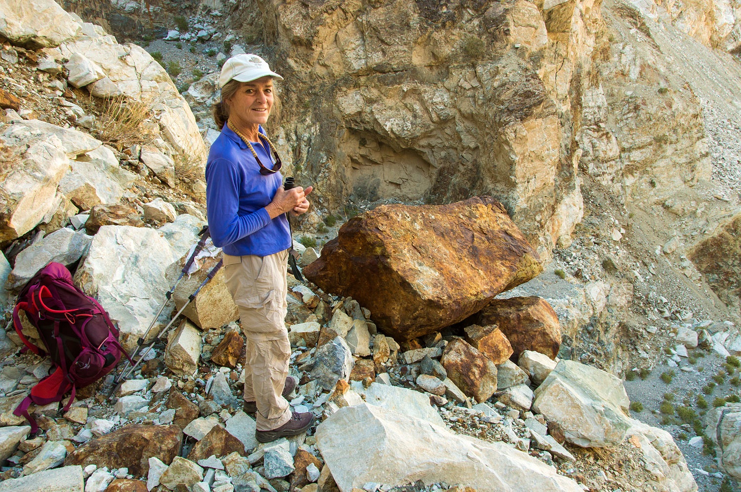
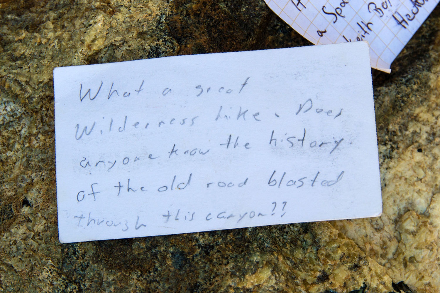
There is a
large ammo box bolted to the rock face at the top of the rock cut, visible just
right of center in the photo below.
Inside was a
plastic bag with a note from a visitor in March 2017 along with Charlie's card.
Charlie
retired last year after years of good service to the public and Death Valley National
Park. He will be missed.
It was time
to return back up canyon to camp.
It was early
afternoon when we arrived back at camp. We decided to pack up, head out, and
get in position for our next adventure as the next day was my birthday. When
the Lady asked what I wanted for my birthday, my reply was, "Let's spend
some time searching for my Uncle Erv!"
Our
adventure continues in Part Two. Please - Click Here








I’ve travelled San Lucas Canyon between the Cerro Gordo road and Lee Flat numerous times, but never have ventured down the canyon. I always knew it was impassable. However I was completely unaware of the shelf road blasted from rock. Amazing! Makes Suprise Canyon look very tame. I love finding stuff like this, thank you for your efforts on the ground, with your camera and with your prose.
ReplyDeleteThank you, David! San Lucas is an incredible place.
ReplyDeleteThanks for the post. Haven't checked out this canyon yet but it's now on the list.
ReplyDelete