It is called
Kaleidoscope Canyon and is in the Black Mountains in the southern end of the
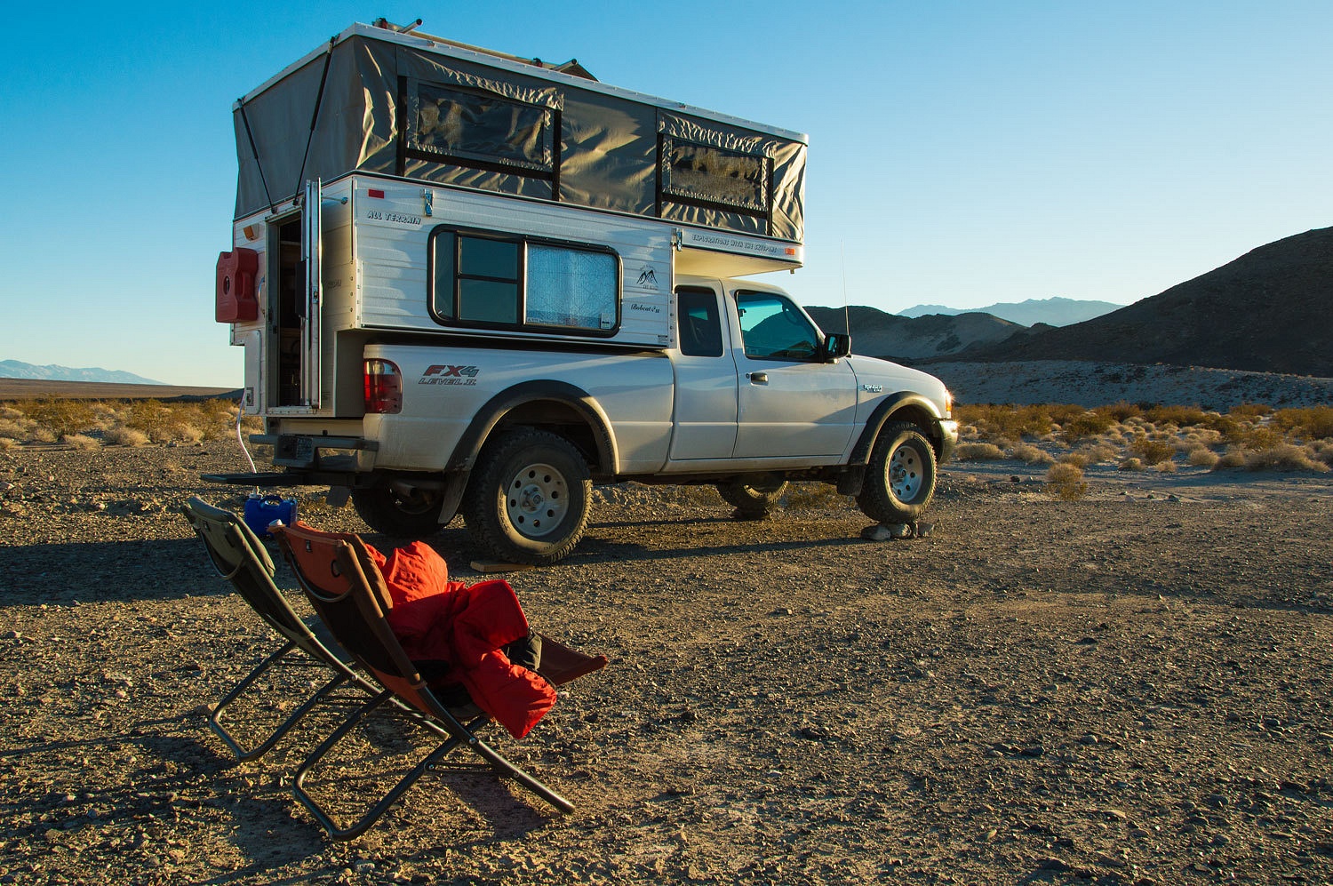
Park. Gauging the amount of daylight remaining, we headed for Harry Wade Road
for the possibility of finding a dispersed camp site that would allow for a
short drive to the trailhead the next morning. We found a nice pull off into a
level wash about 3 miles south of the Badwater Road pavement. It would do
nicely.
After a
quick shower we walked in the waning light west about 3/4 of a mile to the
mighty Amargosa River. We found water, not flowing, but long remnant pools
from the last flow event. Here the river
flows north into the southern end of Death Valley itself. The wind we
experienced earlier in our trip had abated and it was a wonderful evening. The
moon was bright in the eastern sky and we hurried through dinner so we could
walk in the night.
With no wind
to stir the settling cold air in the basin - we were camped at 40 feet below
sea level - we awoke to 28° the following morning. We had a glorious, vast
vista for our breakfast backdrop as the sun began to rise.
We drove the
easy six miles to the start.
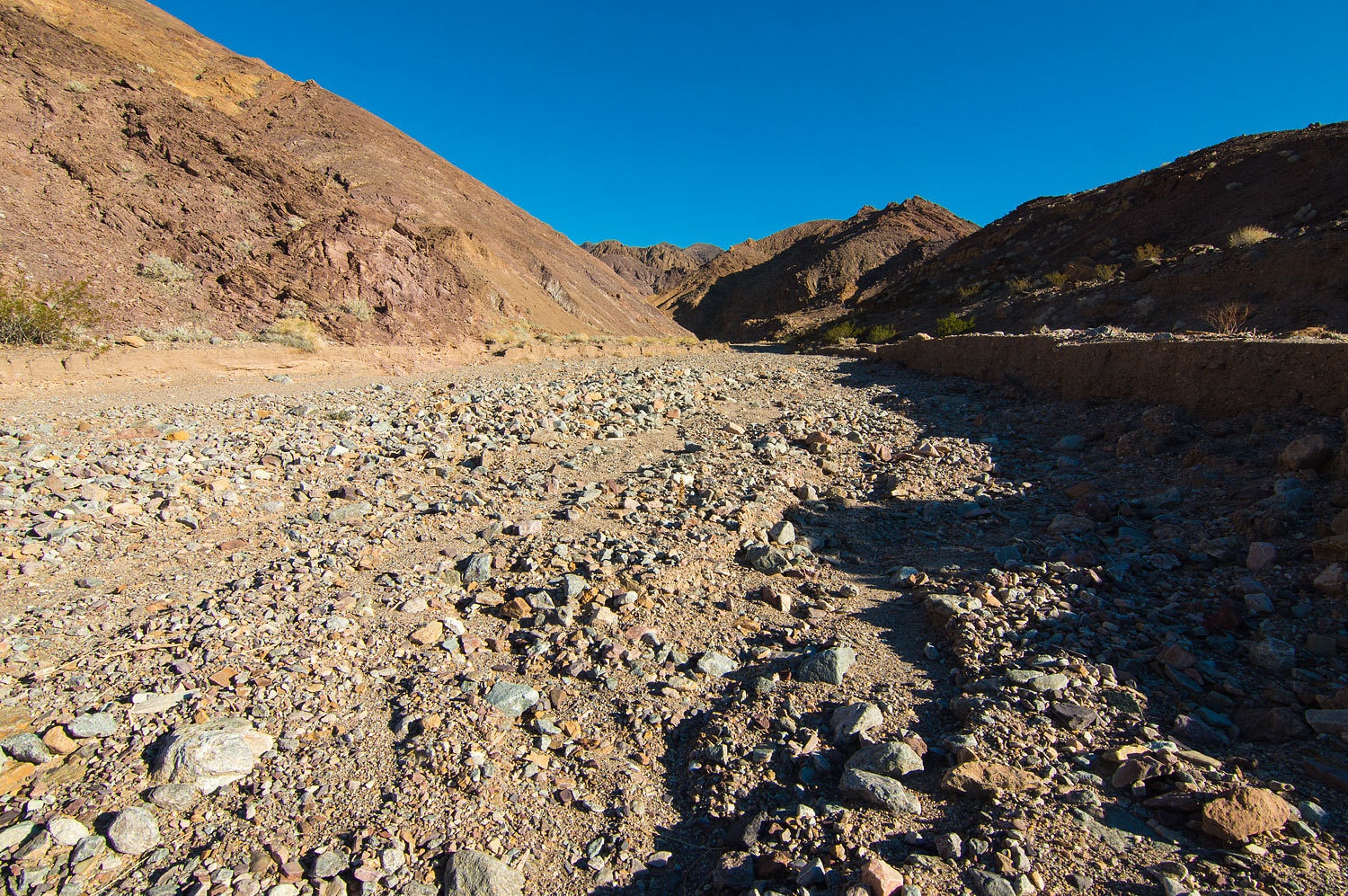
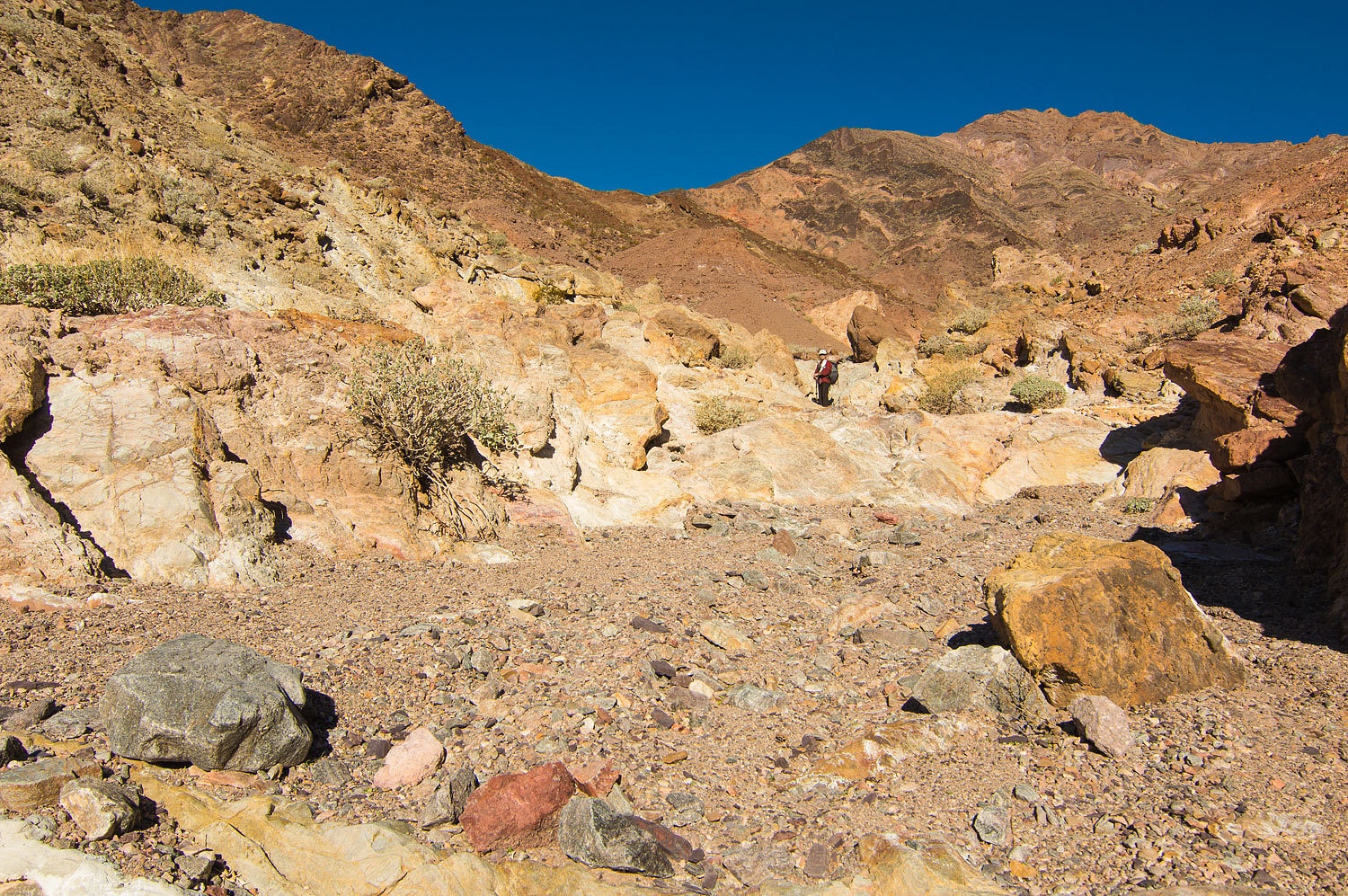
It was an
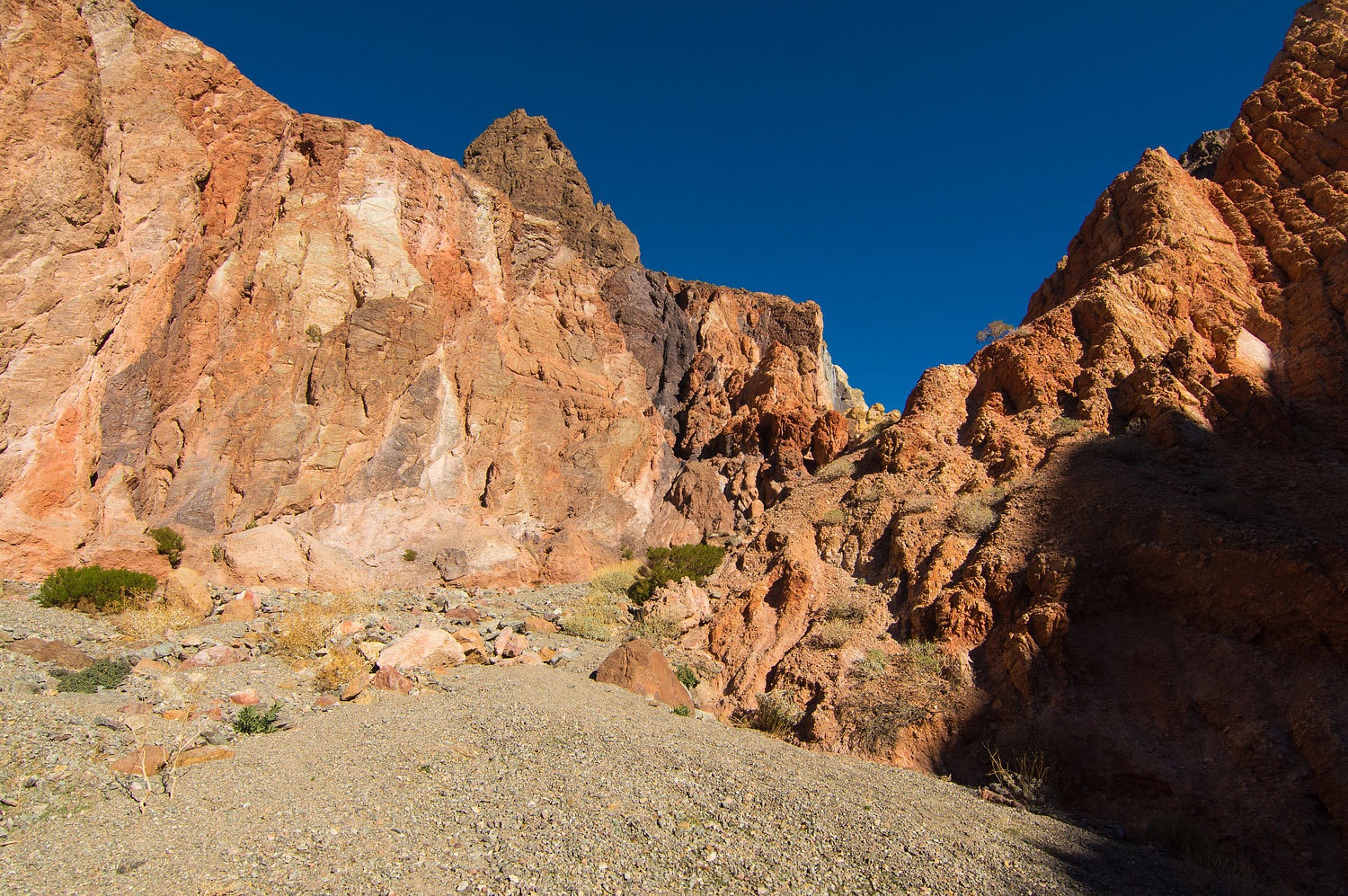
easy couple miles hike up the alluvial washes to the mouth of Kaleidoscope Canyon.
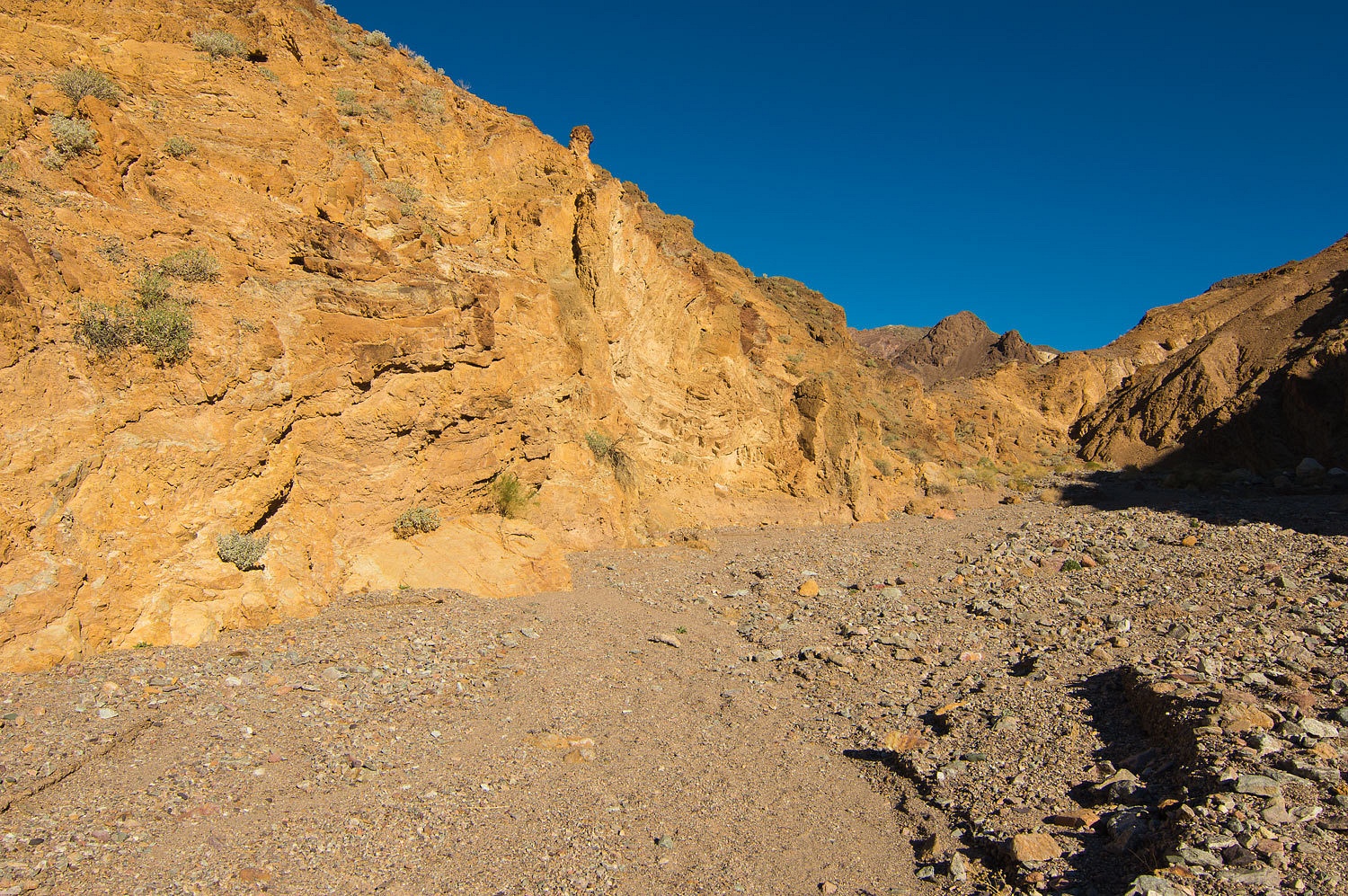
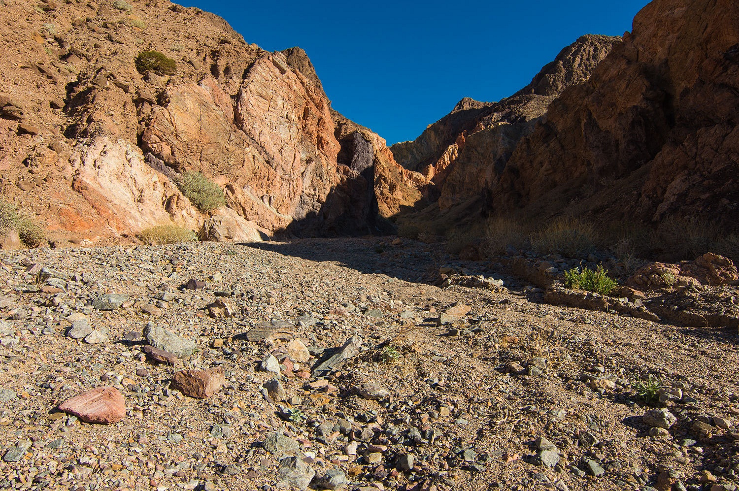
The canyon
showed itself to be very special around the first bend.
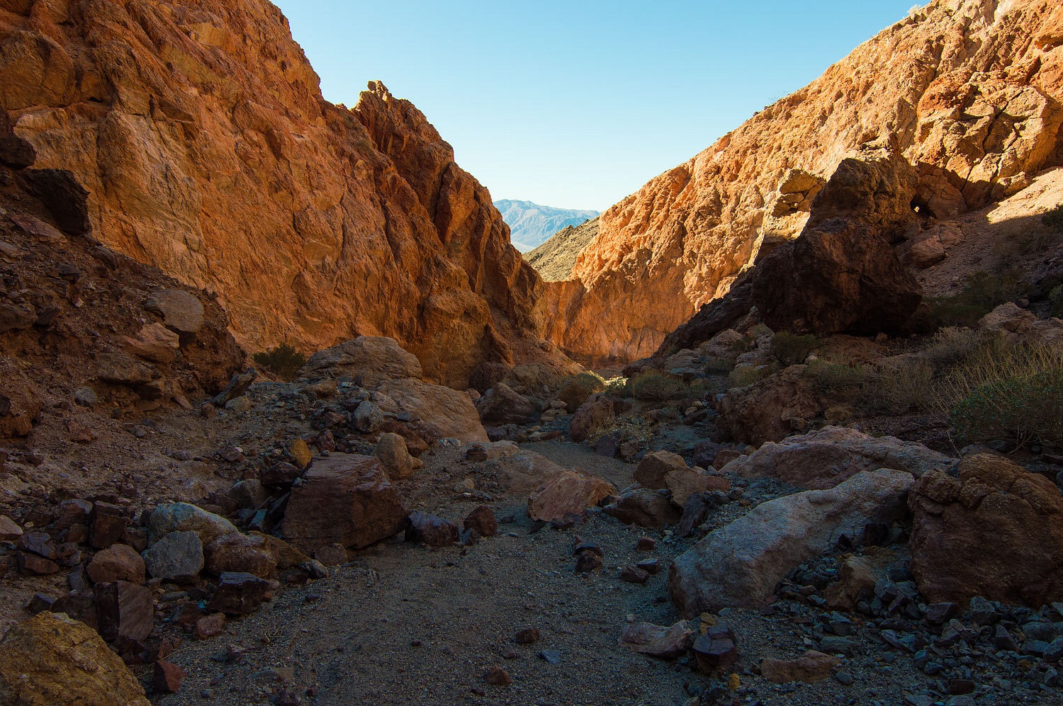
It continued
to unveil its splendor as we worked our way up canyon.
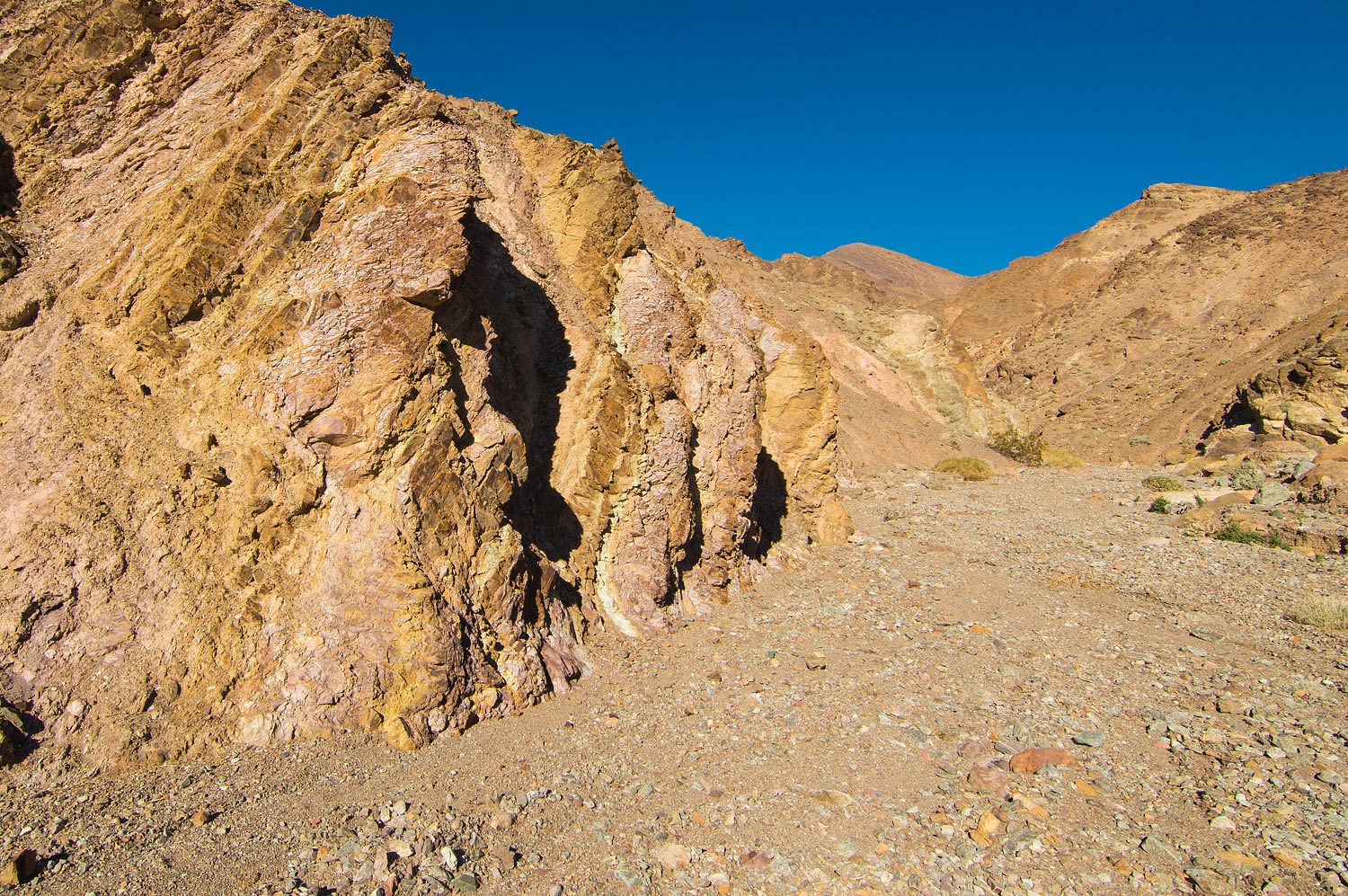
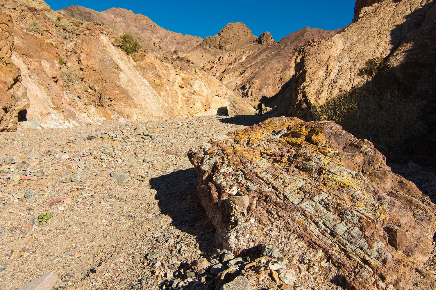
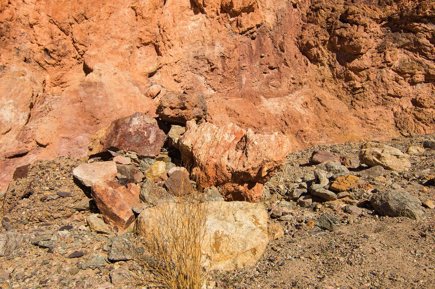
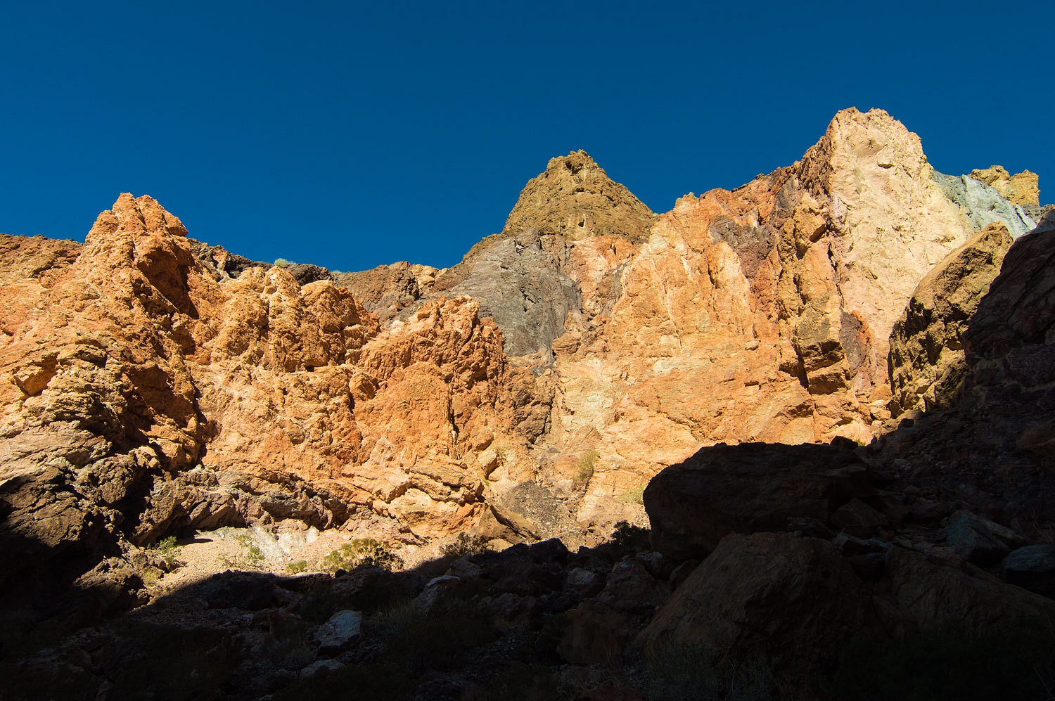
As we
advanced, oranges, reds, and even purple became the dominate colors.
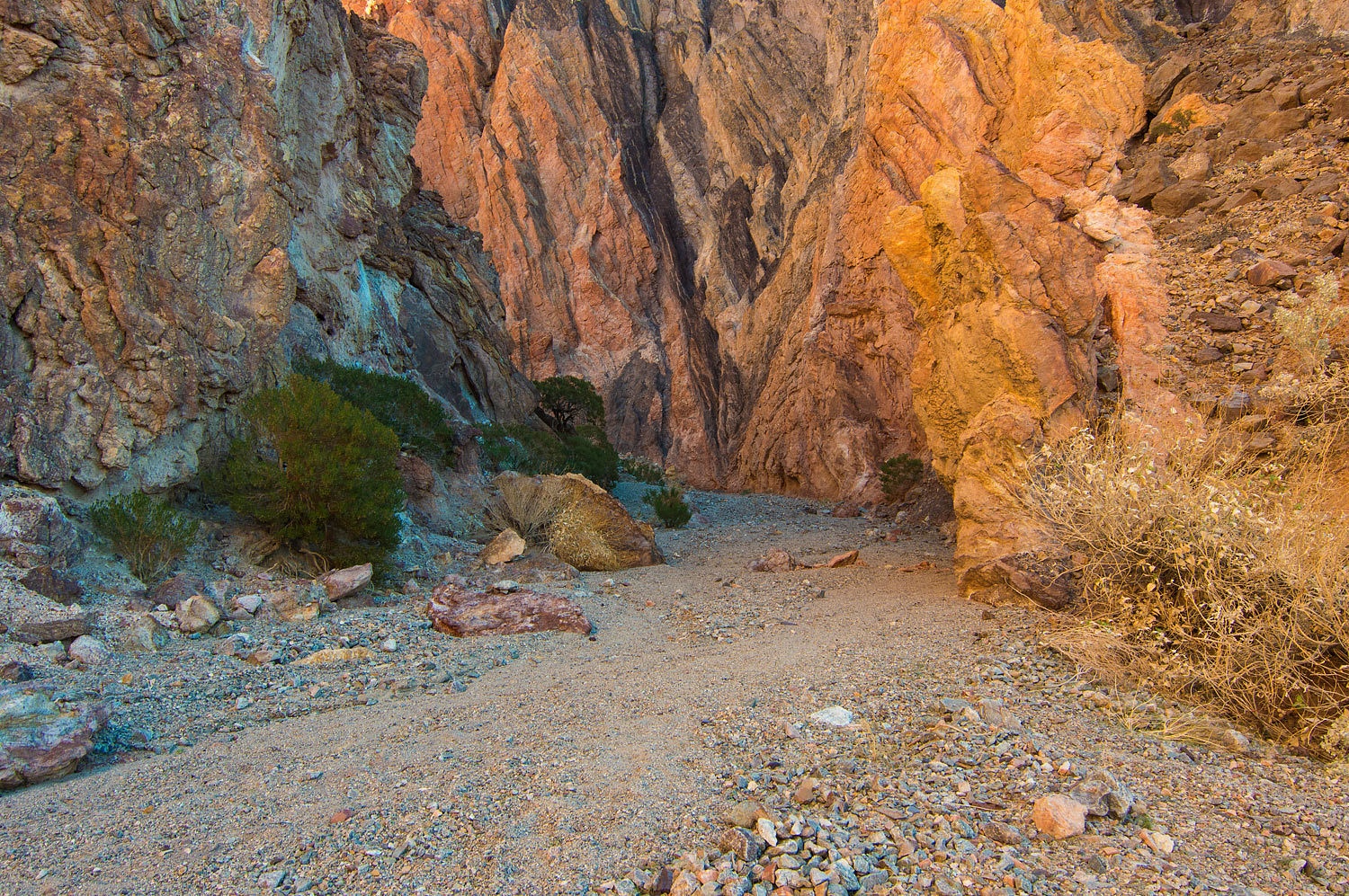
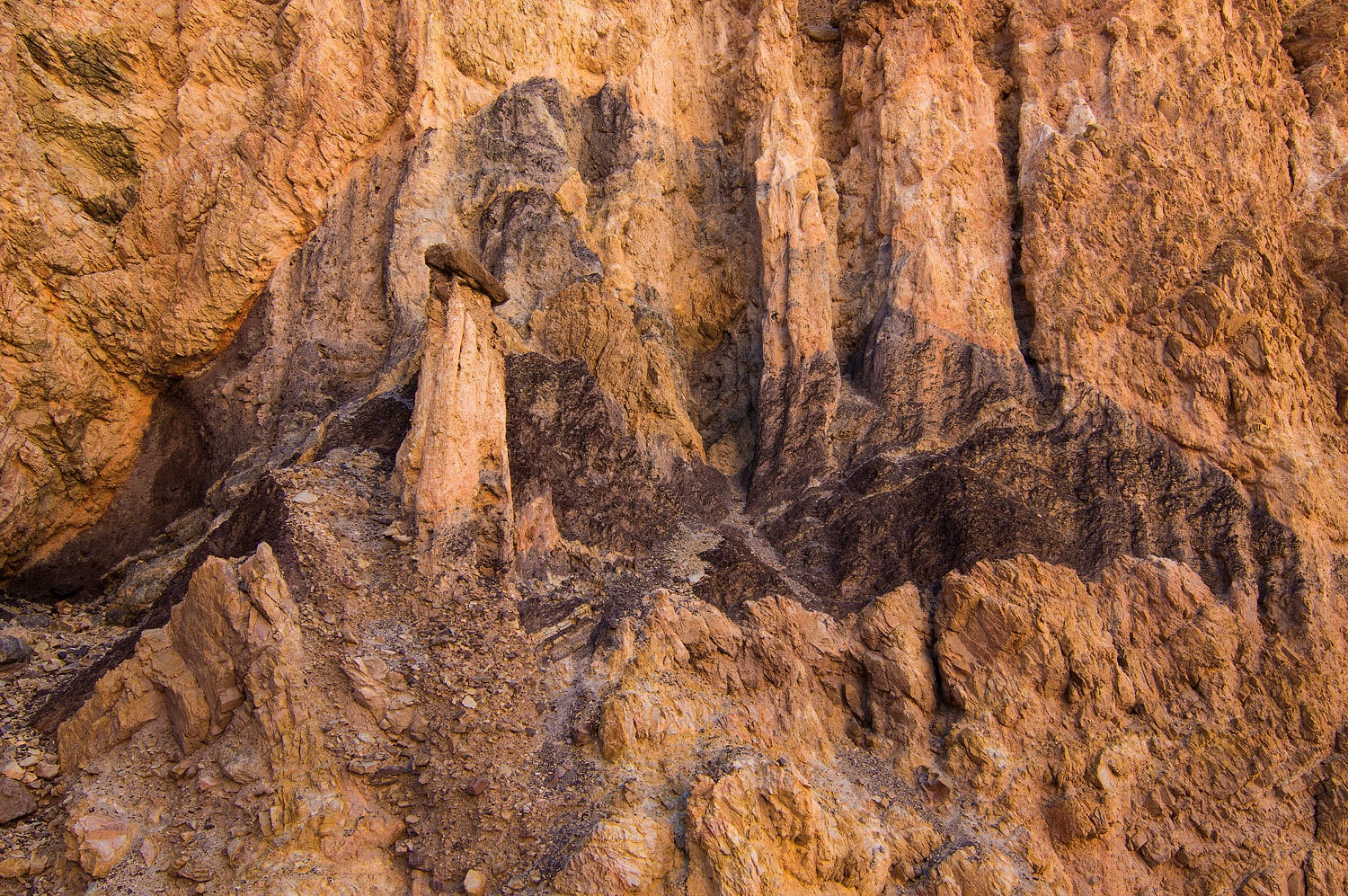
This canyon
holds magical displays of color.
We reached
near the top of the canyon. It became a fun scramble but we were working away
from the color. We dropped the packs and lingered with our water and snack
break. We slowly headed back down the canyon.
It was a breathtaking
and humbling experience to walk in silence through this canyon. It is truly a special
place. Compared to many of our other Death Valley canyon hikes we have
documented on this blog, this one is relatively easy insofar as distance and
terrain. It is in a quieter section of the Park so, as always, you need to be
prepared and experienced. Judging from the boot tracks in the wash and the one
person heading up as we returned to our truck, this is not a well kept secret,
nor do I think it should be. If you can find and read this blog on the
Internet, you are skilled enough to do a web search and find all the
information you need. I've heard that folks have even gotten directions from
staff at the Visitors Center.
It was
around noon when we returned to the truck. Mid afternoon, back at Furnace Creek,
we made contact with the historian. He did know about what we were searching
for but had not seen it for himself and did not know the location. He was
helpful and we enjoyed a pleasant conversation that ended with his request,
"Let us know when you find it."
For our last
night in Death Valley National Park, we headed in Lake Hill Road off of highway
190 in Panamint Valley. Except for one parked vehicle at the trailhead for the
Panamint Dunes - possibly backpacking to the dunes for a brilliant moon lit
night - we were alone.
Overnight
the cold air settled again. It was 23° in the morning. We enjoyed our mugs of Peets coffee
during our predawn walk. Finally the sun streamed across the landscape.
This was
Saturday morning and a day for some chores. Heading north on highway 395, we
stopped in Big Pine and did laundry. It was nice to walk the back streets and
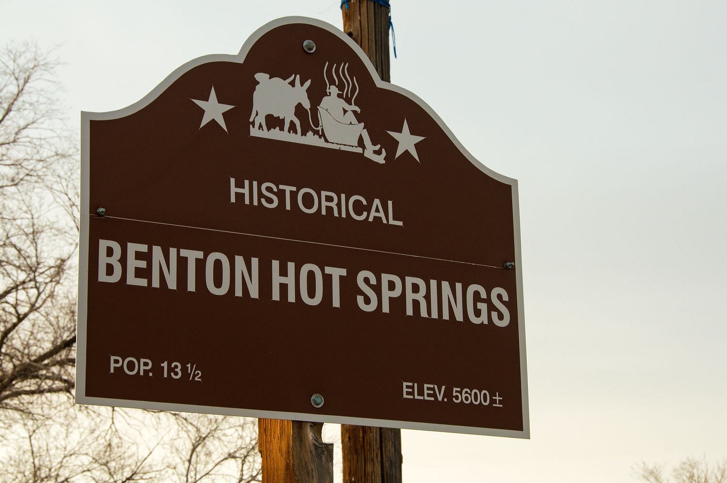
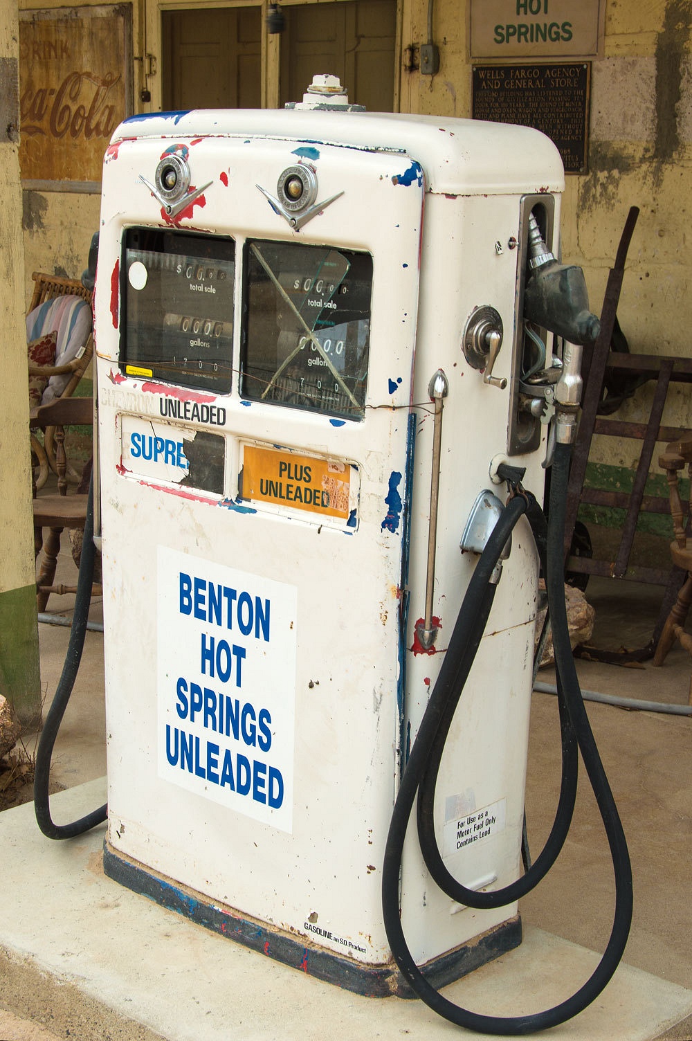
the park as the clothes went round and round and round. Mid afternoon we were at
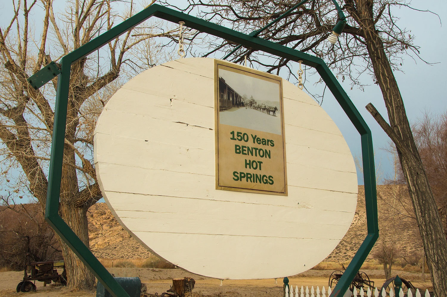
Benton Hot Springs.
We had
reservations for a site in the small campground complete with a private
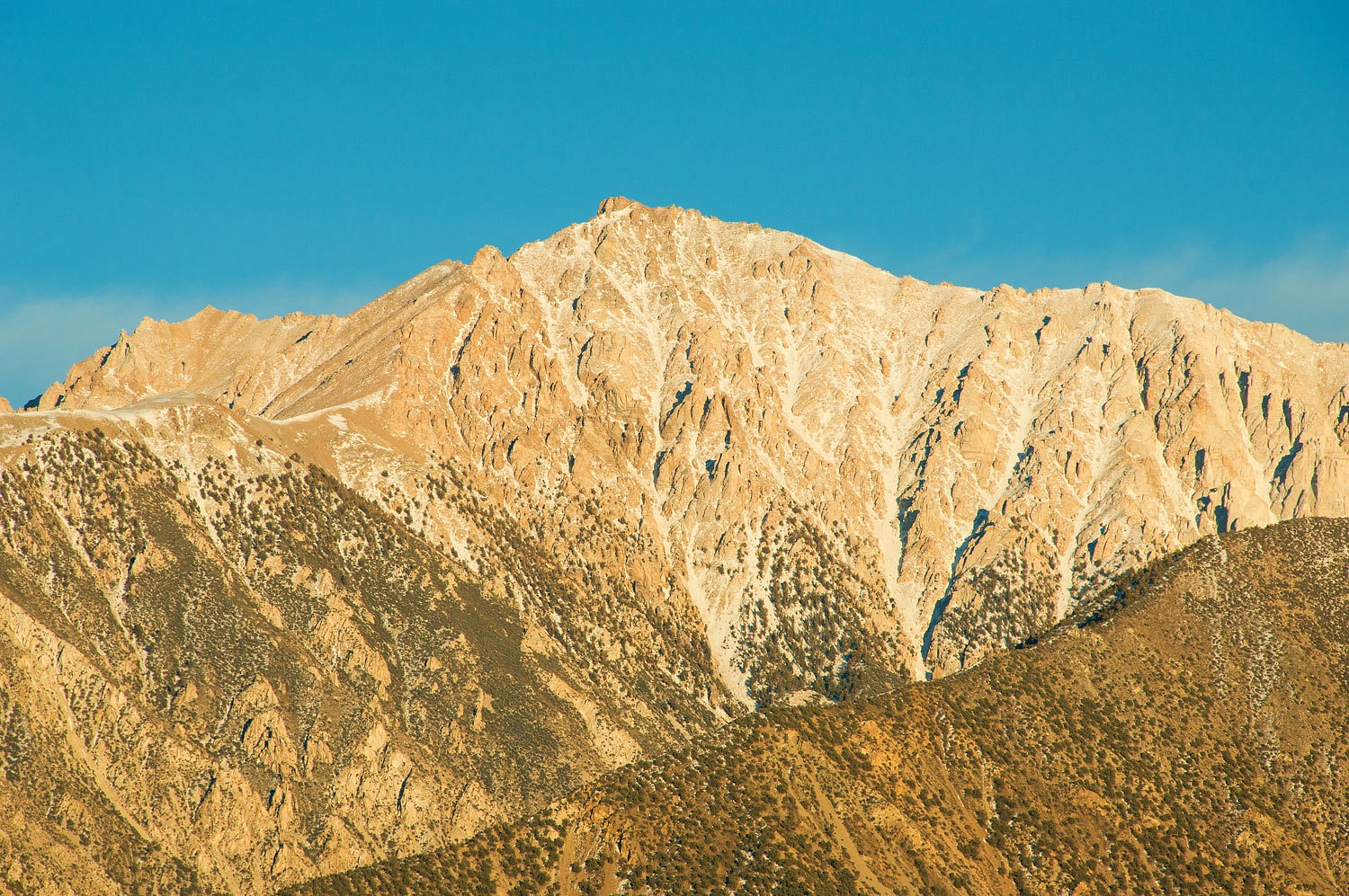
tub of hot spring water. To the east was the north end of the White Mountains
and Montgomery Peak. Boundary Peak, Nevada's highpoint is the point on the
ridge to the left.
We enjoyed
the soothing water that restored years to our lives. I was almost feeling like
I shouldn't have a Geezer Card. The views were wonderful. The Lady said, "This
is really romantic." We'll come back to Benton Hot Springs.
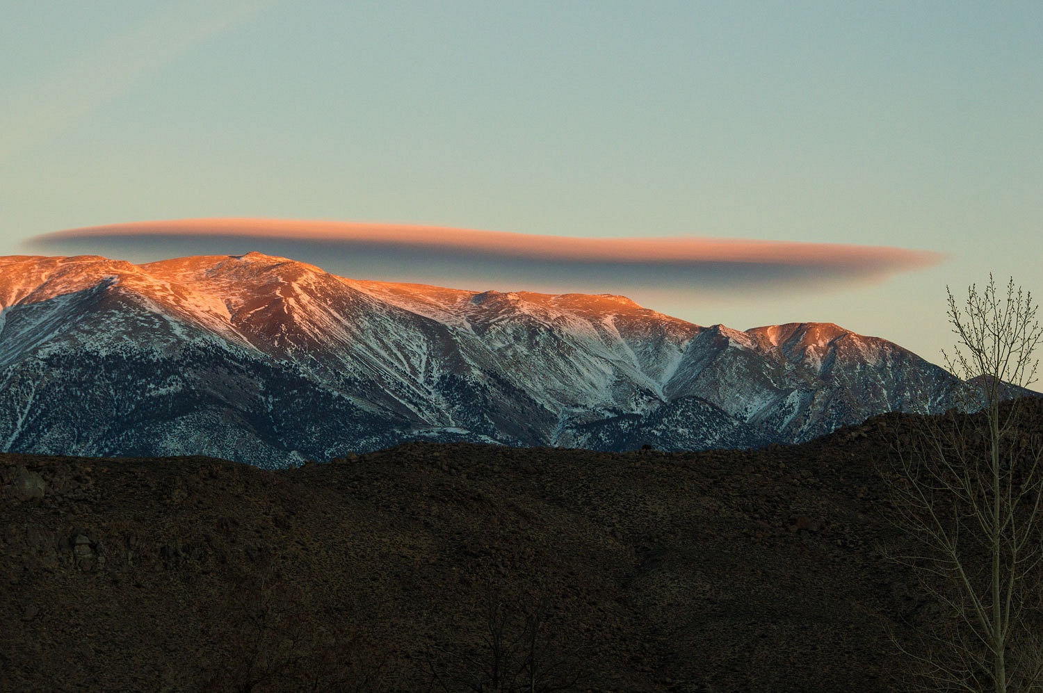
We watched
the light fade and the shadows work their way up Montgomery. As the last light
of the sun hit the peak, we were in for a surprise.
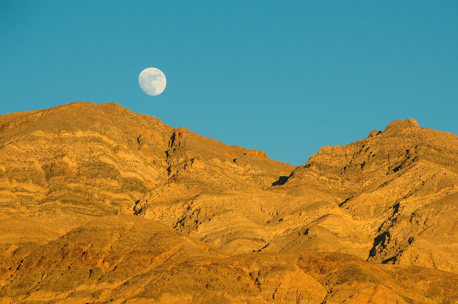
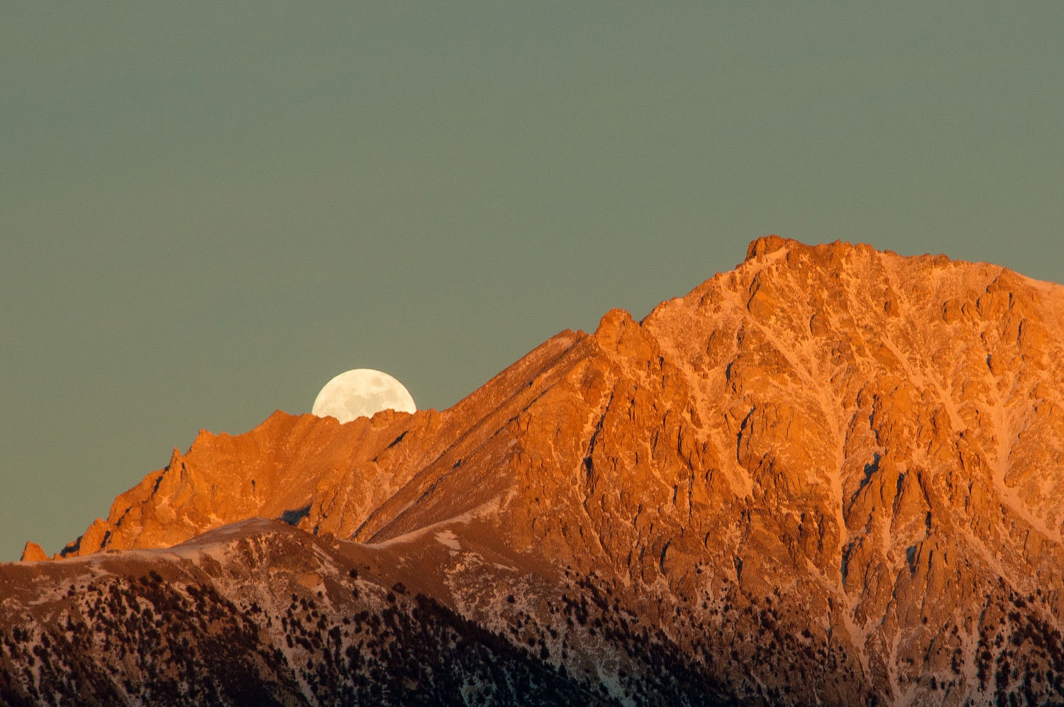
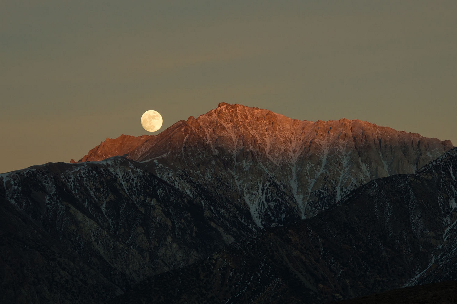
This was the
night of the full moon.
A lenticular
cloud held over the Whites to the south of Montgomery Peak.
The moon
quickly climbed and we could not take our eyes off of it.
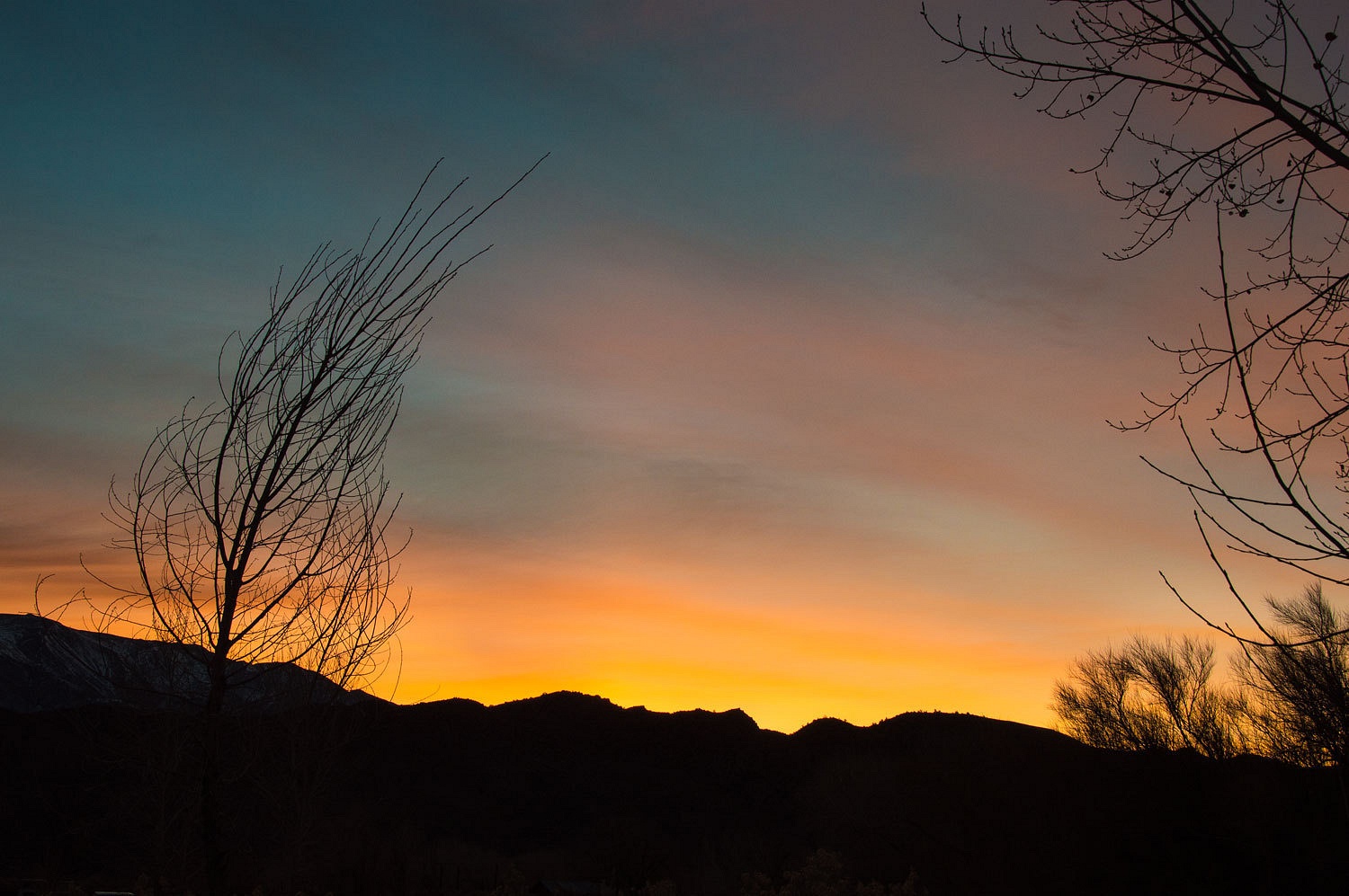
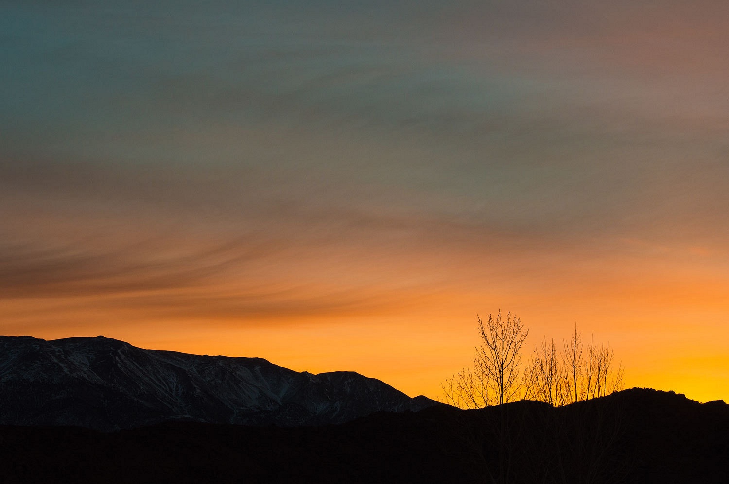
A glow in
the sky woke us the next morning.
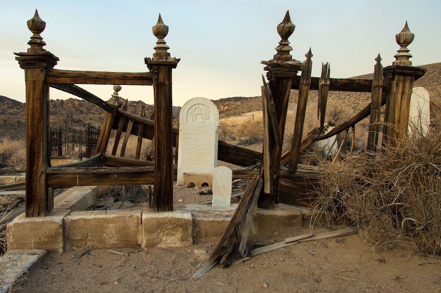
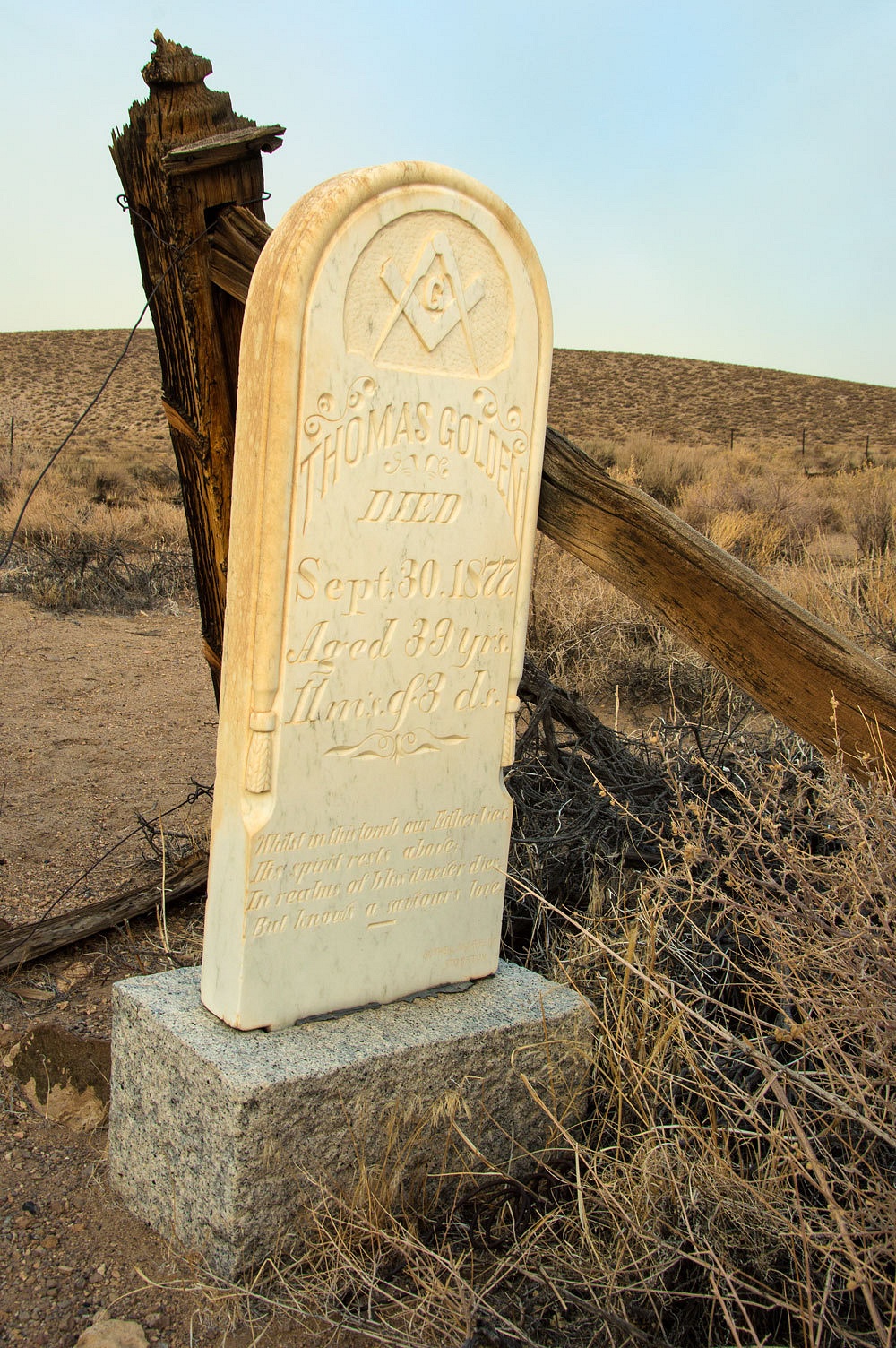
It was a
wonderful time to wander up to the old cemetery on the hill above.
We took our
time and wandered, alone in the early morning, around the historic tiny settlement.
Highway 120
across to Lee Vining was open. It had been closed a week earlier. I don't
believe we encountered another vehicle until we turned north on 395; a
wonderful morning. The Lady was gazing out her window. Without turning her head
she said, "This has been a wonderful trip, just what I needed. But, I'm
ready to be home and go back to work, so we can go again!"






Another fantastic trip -- phenomenal photos. And very impressive rock-climbing skills: those looked like some tricky pitches and pour-overs -- well done! Thanks for posting this trip.
ReplyDeleteDan, thanks so much for your nice comments!
DeleteWow! I've put Kaleidoscope Canyon on my list of places to go. I don't think I'll ever be fit enough for those canyons that require rope climbs, but this I could do.
ReplyDeleteThanks for the great trip report with the wonderful photos.
Bill, thanks again for your kind comments. Death Valley offers so many opportunities for exploration at all skill levels. And, to think that most people think of it as an intolerable waste land; all the better for us perhaps?
ReplyDeleteYou are most welcome and thanks for the earlier reply answering my question about the temperatures.
Delete