please remember you can click on a photo to see a larger version & highlighted text are links to further information
Rock Art
& Fighter Jets
It was
Sunday morning. We were descending Conway Summit on our way to breakfast in Lee
Vining along California's famous highway 395. It was past the point of no
return. Why do I say that? Because of this question I asked the Lady.
"Did
you put the camera in the truck?"
"I
don't think so. You always put the camera in. I'll look."
Julie's
rumbling through our gear behind the seats confirmed what I already knew. It
was not to be found.
"It was
on the counter yesterday; the usual place." I explained. "Our guests
were showing up and I decided to put it out of sight in the cupboard below.
That's where it still is. I forgot all about it as we loaded the truck and
camper after everyone left."
"Do you
want to go back and get it?" the Lady asked. "We have the extra lens
and tripod. Is there some place we could buy another camera?"
I thought
for a moment. "Home is closest and we're not going home." I answered.
"Well,"
the lady added. "This will be one trip we'll just have to remember in our
minds."
We delayed our
big thanksgiving feast until Saturday. We had nine for the traditional dinner.
It was a fine gathering of friends and family. We left on this trip before dawn
Sunday morning.
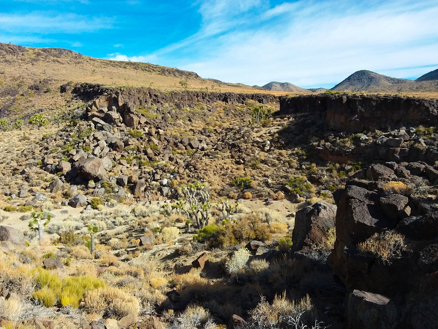
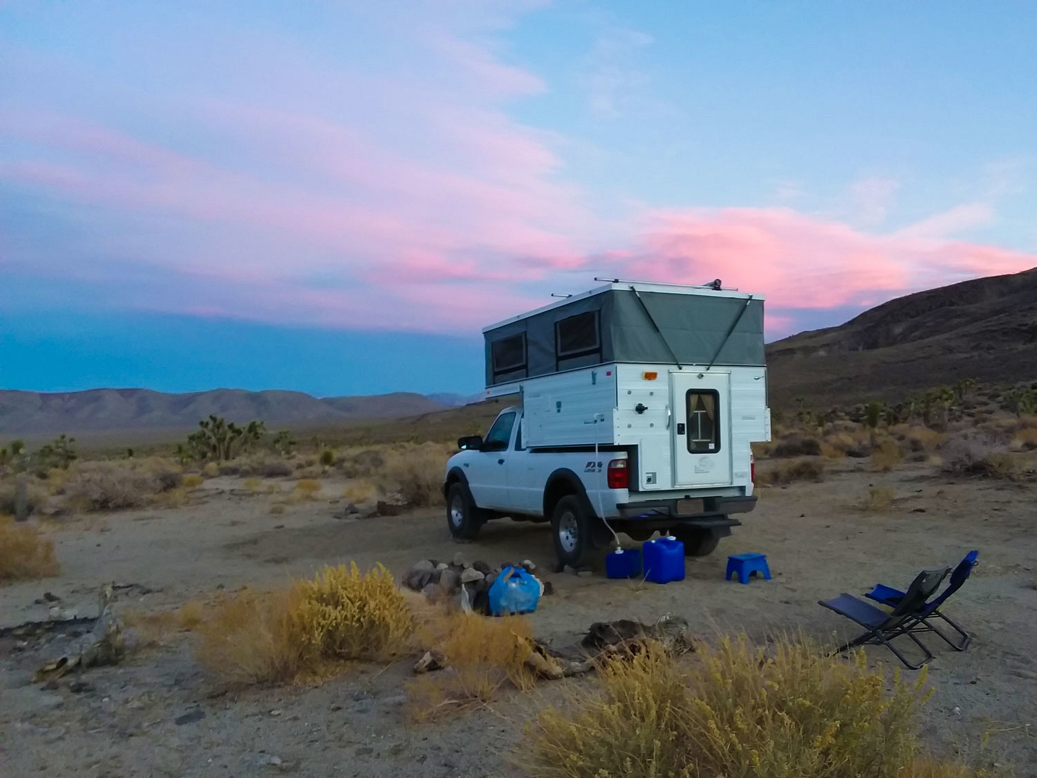
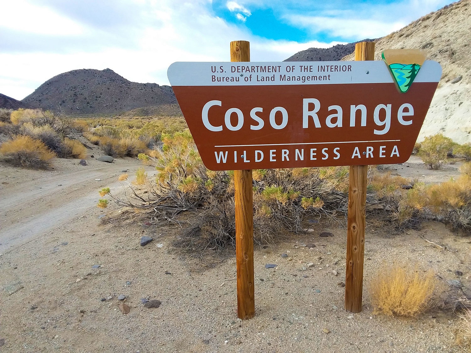
We were headed to Death Valley National Park but we never made it to the Park. We turned off of highway 190 onto a narrow dirt road and bumped along toward the Coso Mountains. We found a place to camp at road's end and set up. With a few hours of daylight left, we set out on foot around 2 pm.
A couple of miles of hiking brought us to confirmation we had found what we were looking for.
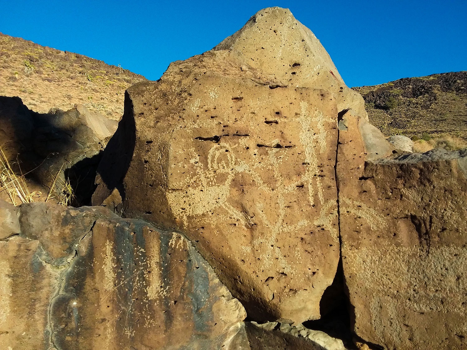
We were amazed at the size of this sheep glyph.
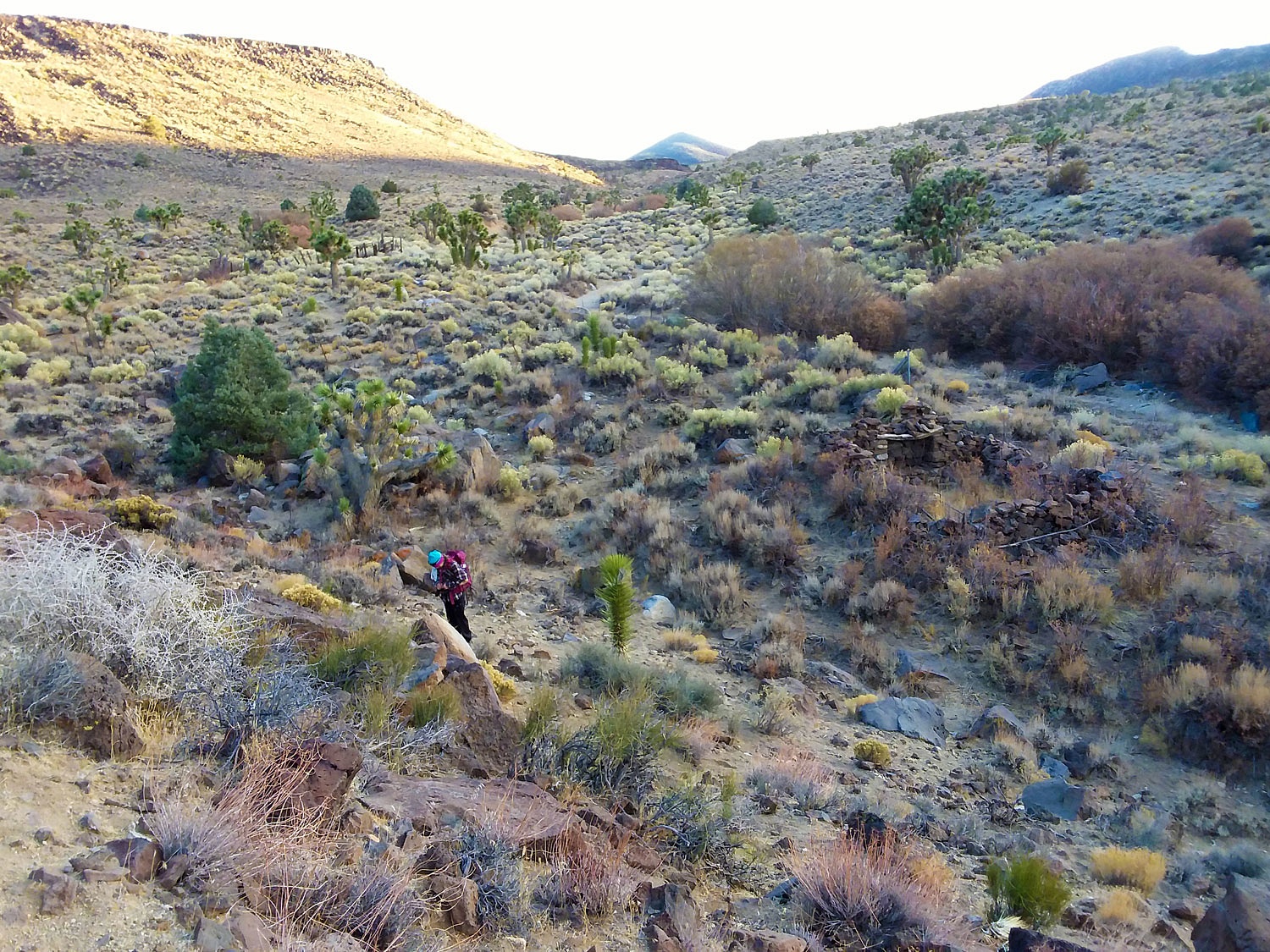
We explored the area as the sun set. The spring area had more recent ruins showing use by modern man, with a stone cabin and a corral.
We returned to our camp after dark, a pleasant hike through lengthening shadows, and dusk. Coyote's songs woke us the next morning. We were anxious to continue our search and explore much more of this Wilderness area.
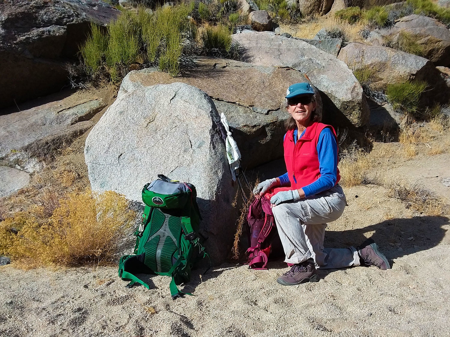
Our route this morning was up a rocky granite canyon.
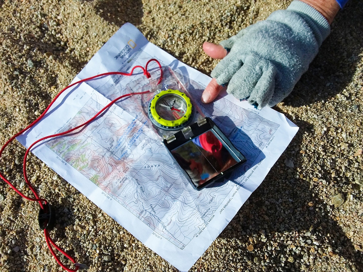
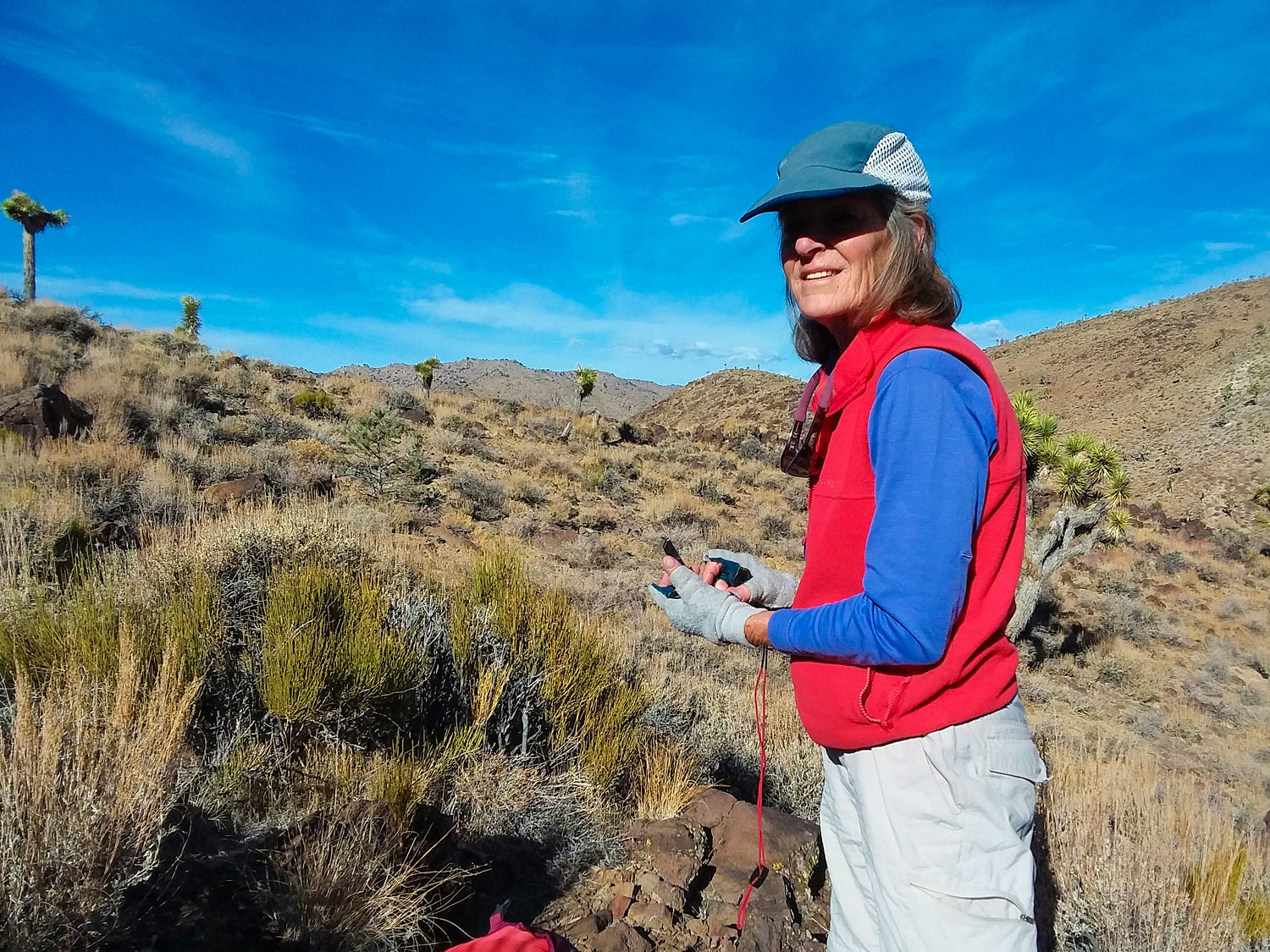
The Lady, as you know, always wants to confirm our location, an exercise in "staying found." She asked for review on techniques with only a map and compass on determining location when in a canyon bottom with no distant landmarks to reference from. In short order she pointed out where we were on her map.
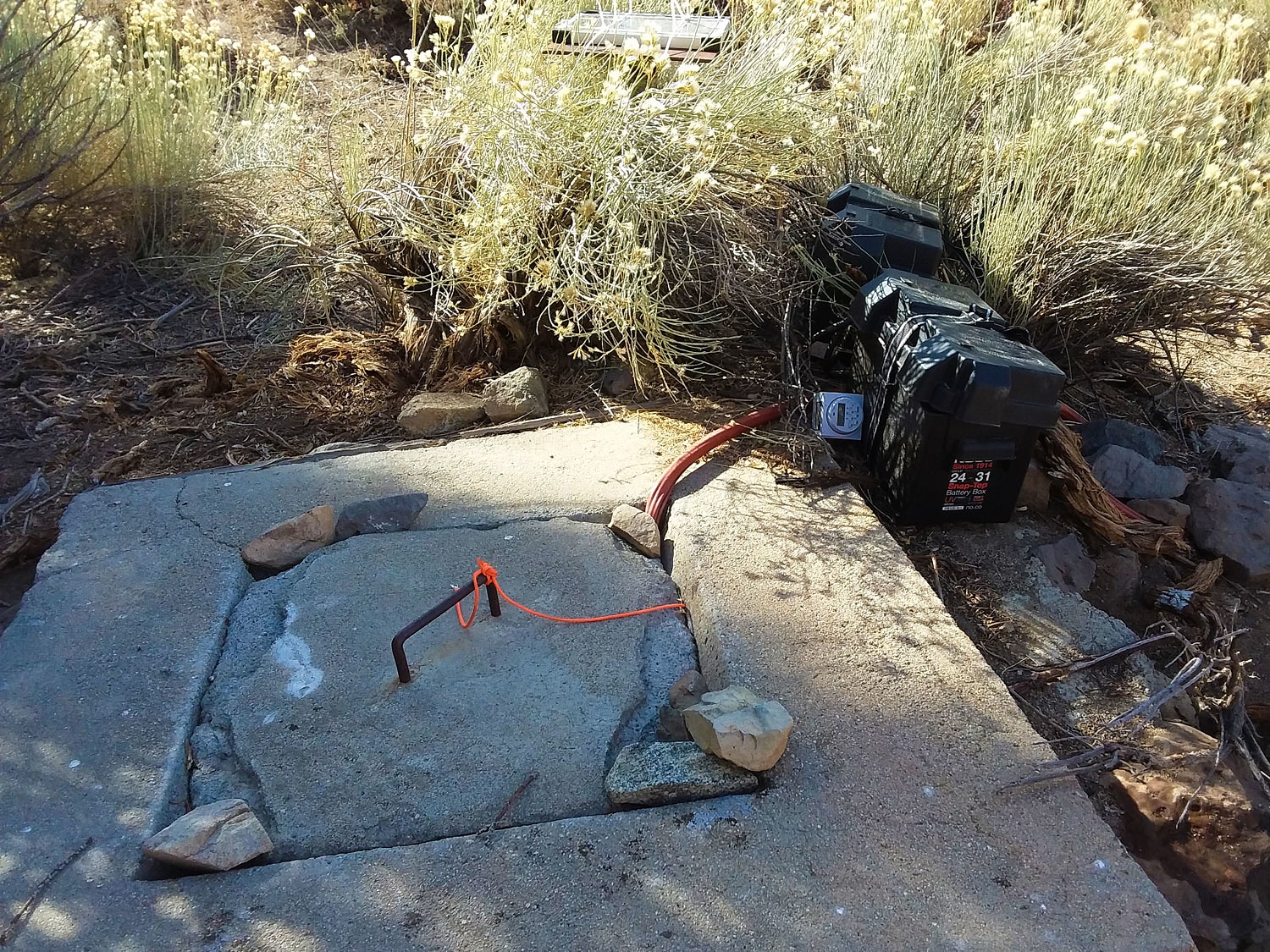
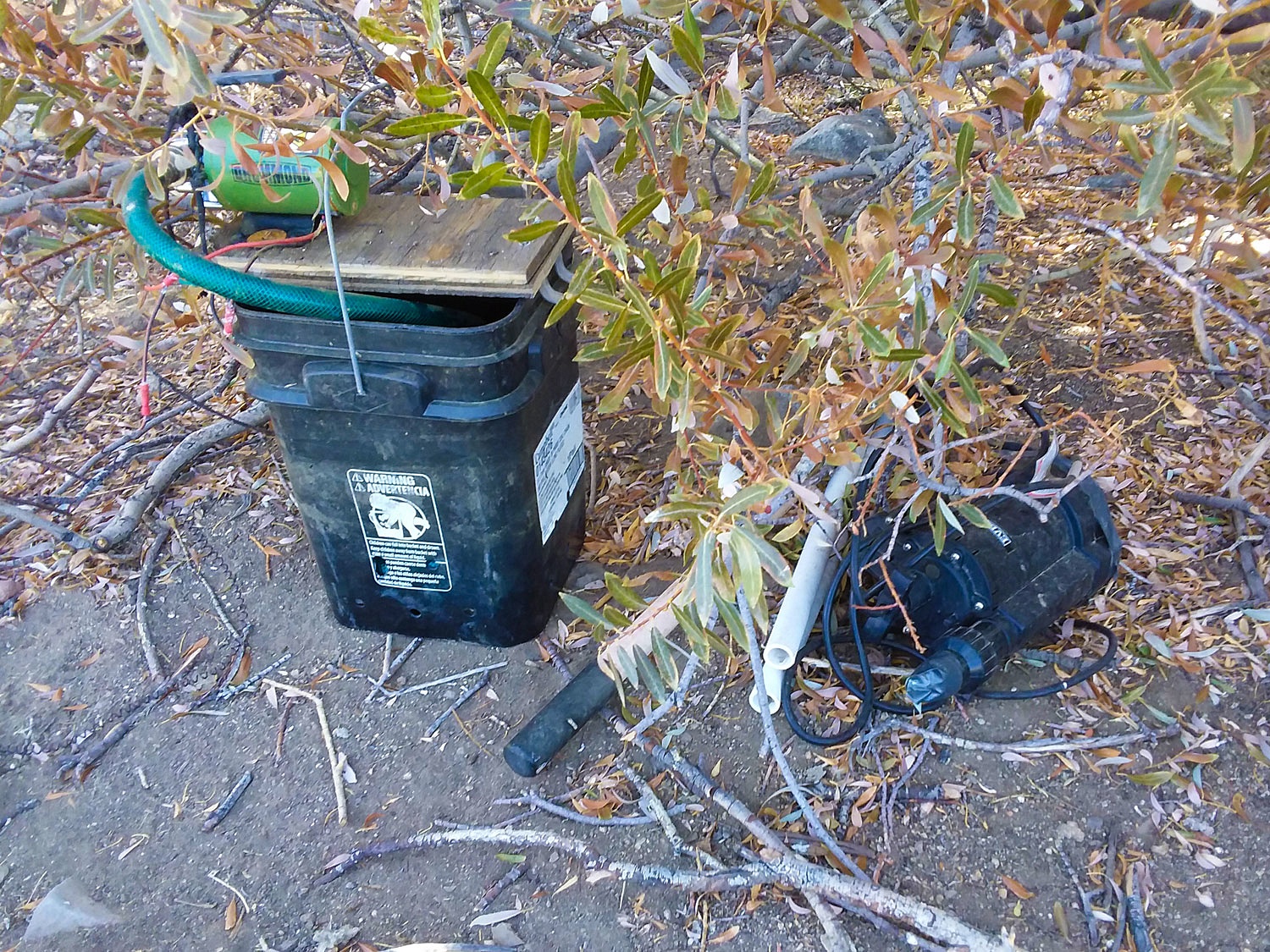
Back at the spring area we were apprehensive when we found a makeshift water system set up at the old well.
This is rough country and we could only speculate on how two heavy lead acid batteries and other items were carried into here. Water source exploitation can indicate a nearby illegal marijuana grow. Back home, years back, a deer hunter was shot and killed when he and his son came upon a grow operation. We were monitoring the USFS radio that morning. It was gut wrenching to follow the response as medic and law enforcement responded to this tragedy. We had to be cautious. I did a quick check if any new foot tracks were on top of ours from the previous evening. Nothing definite. With further investigation, I was confident no one else was around. We saw no area used for agricultural endeavors. We were comfortable to remain in the area and continue our adventure. Note: I have reported this to BLM.
We continued further into the Wilderness on our search.
The largest
display of petroglyphs in the Coso Mountains is inside the Naval Air Weapons
Station - China Lake. Tours into the restricted areas are conducted through
the Maturango Museum in Ridgecrest.
Information
on the Coso Petroglyphs can be found here - Coso Petroglyphs
In my
research I was fascinated that new data indicates these petroglyphs are
incredibly older than originally thought, and also, the possibility that this
style of petroglyphs may have began here and then spread into the Great Basin
region. I have ordered the now completed book mentioned in the article above - Coso Rock Art - A new Perspective
This is a remarkable area.
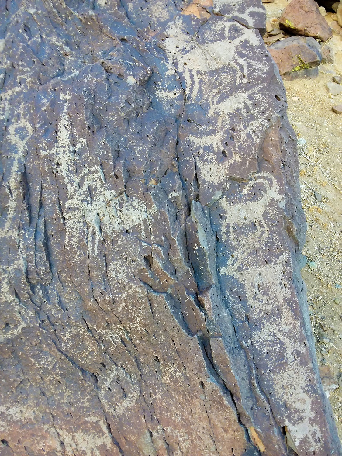
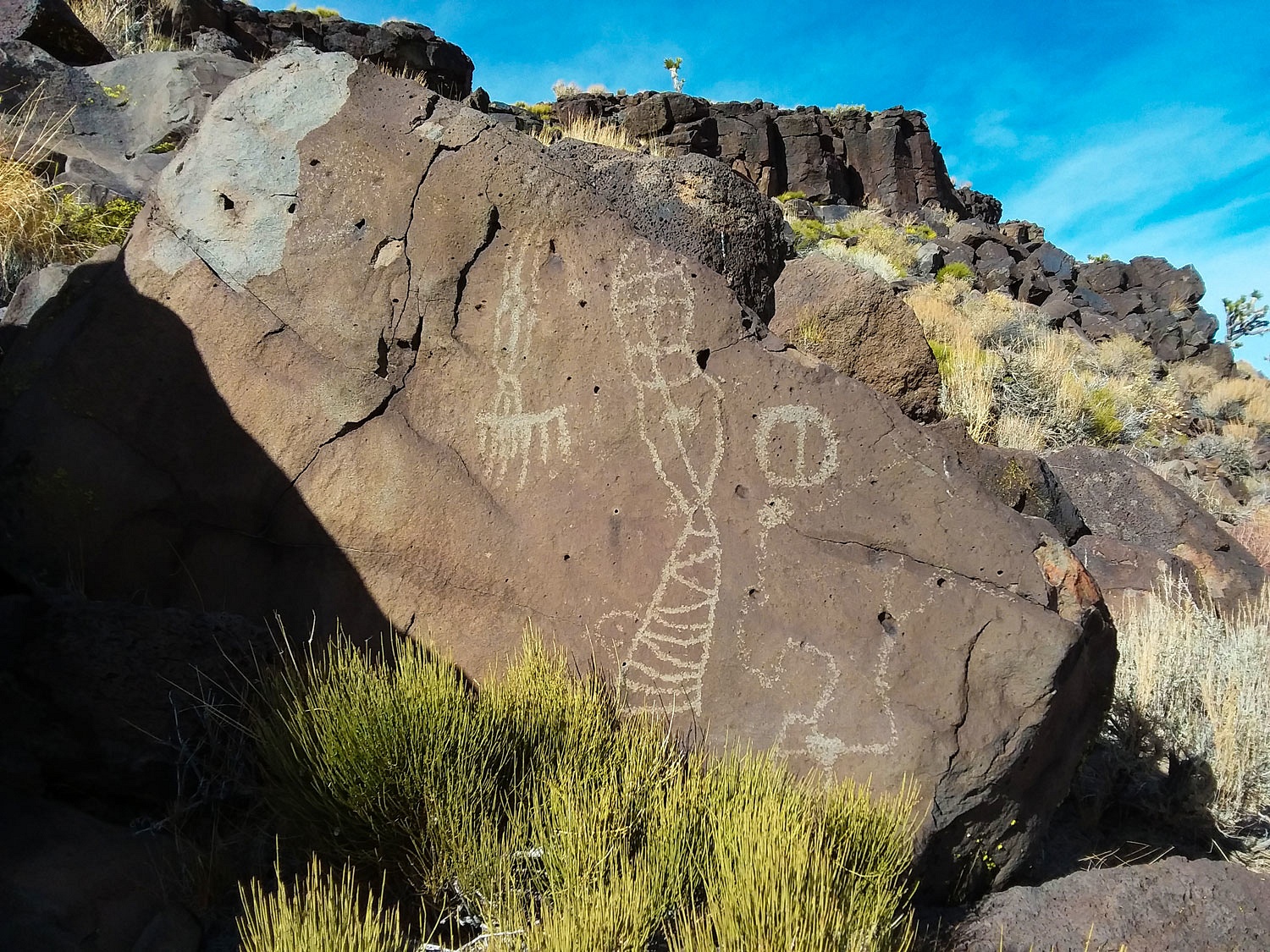
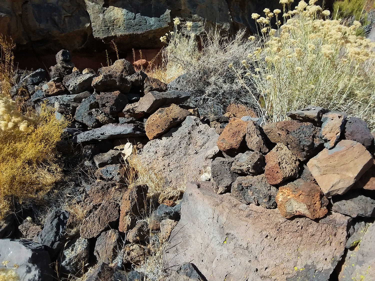
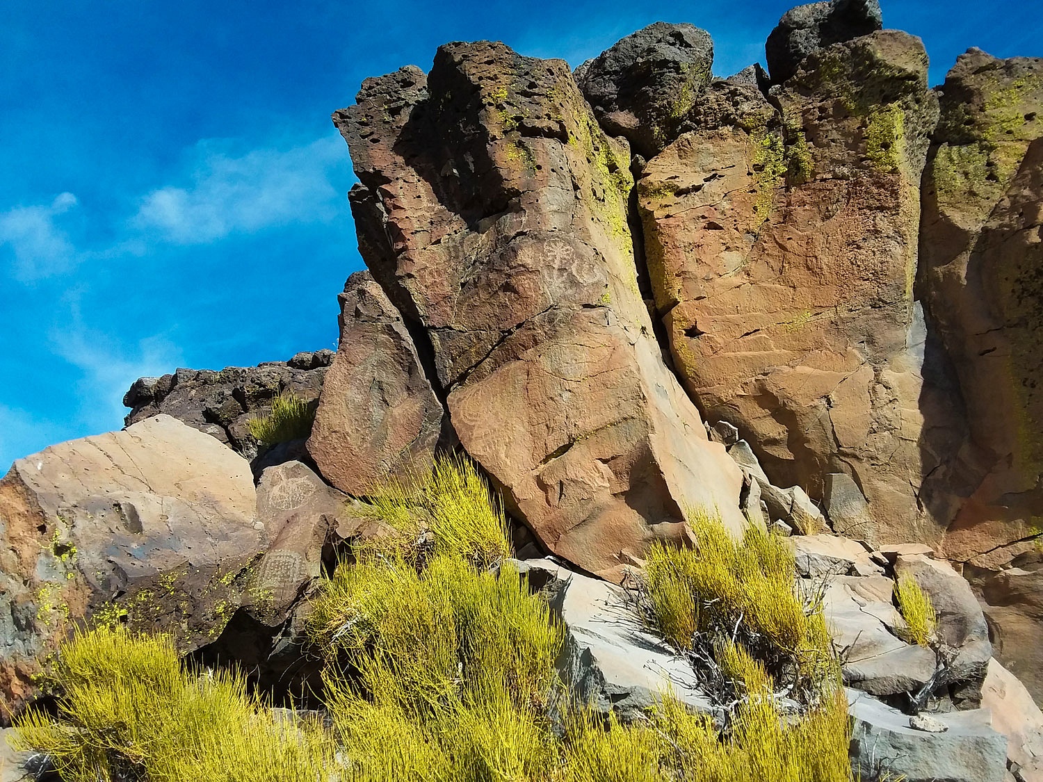
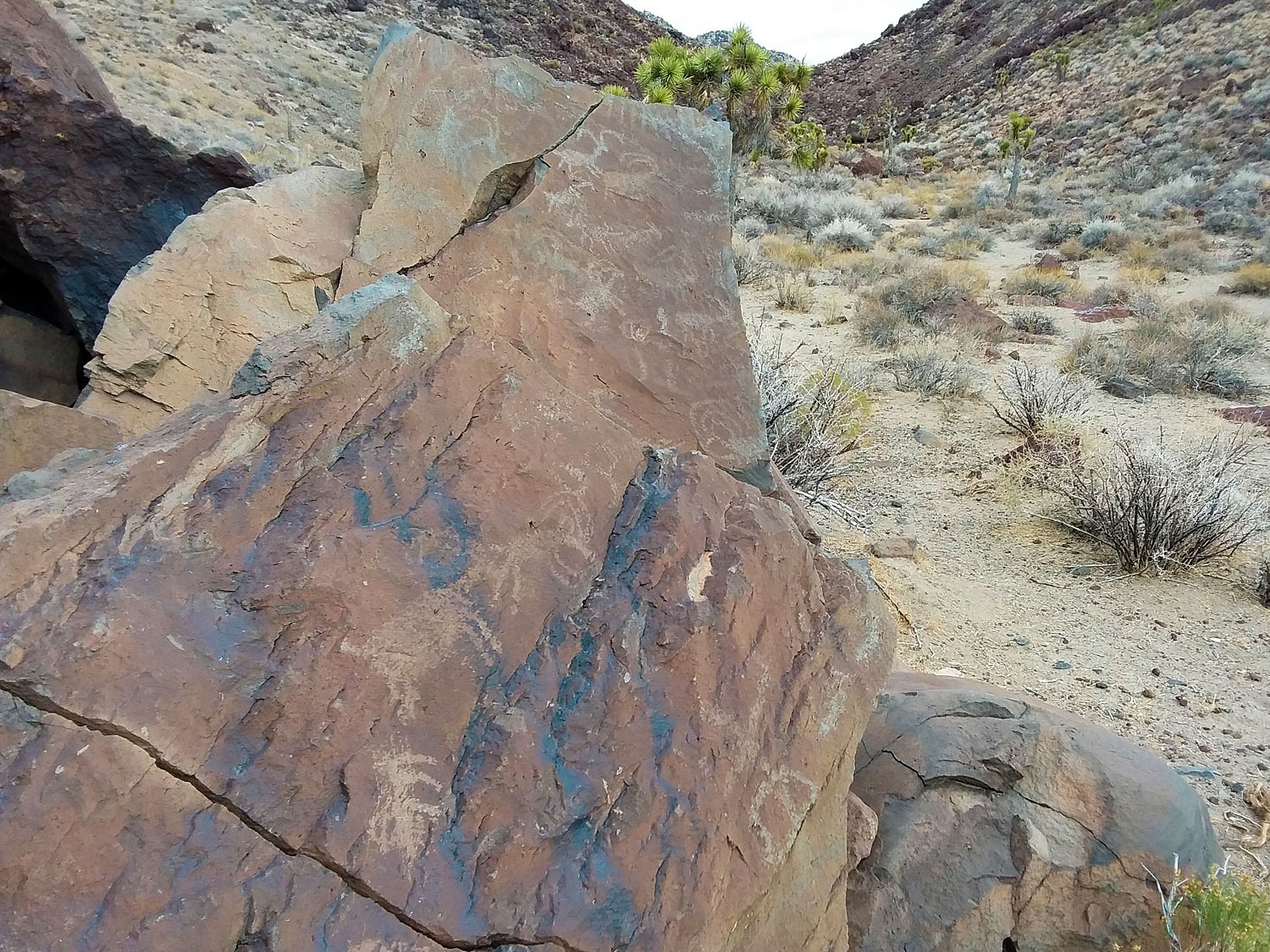
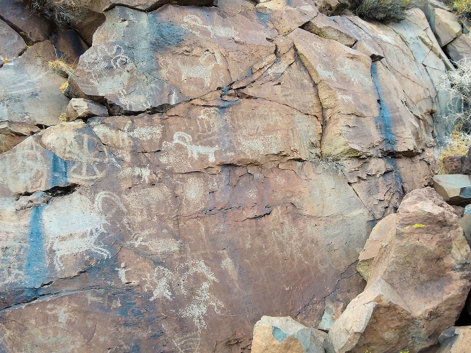
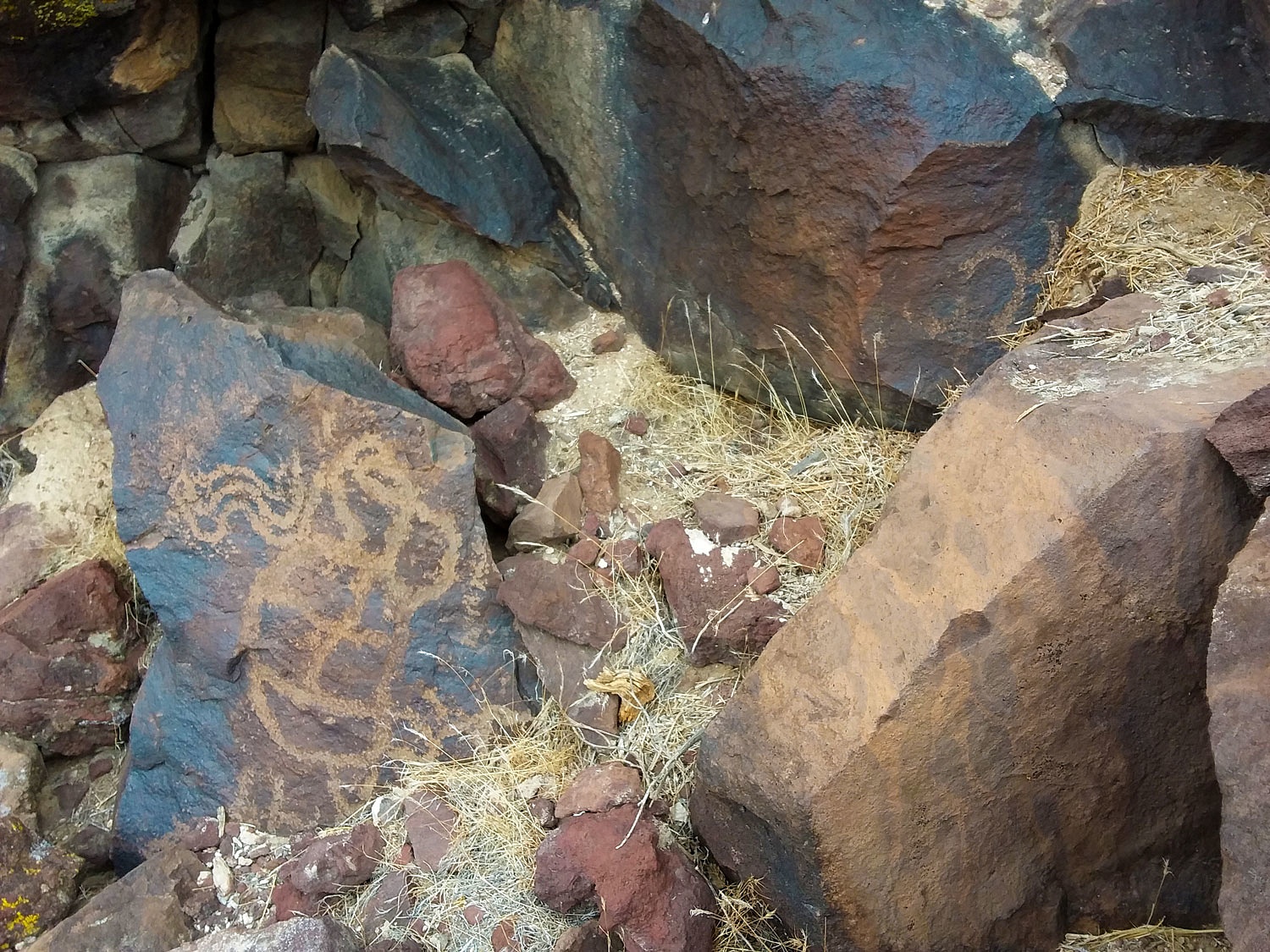
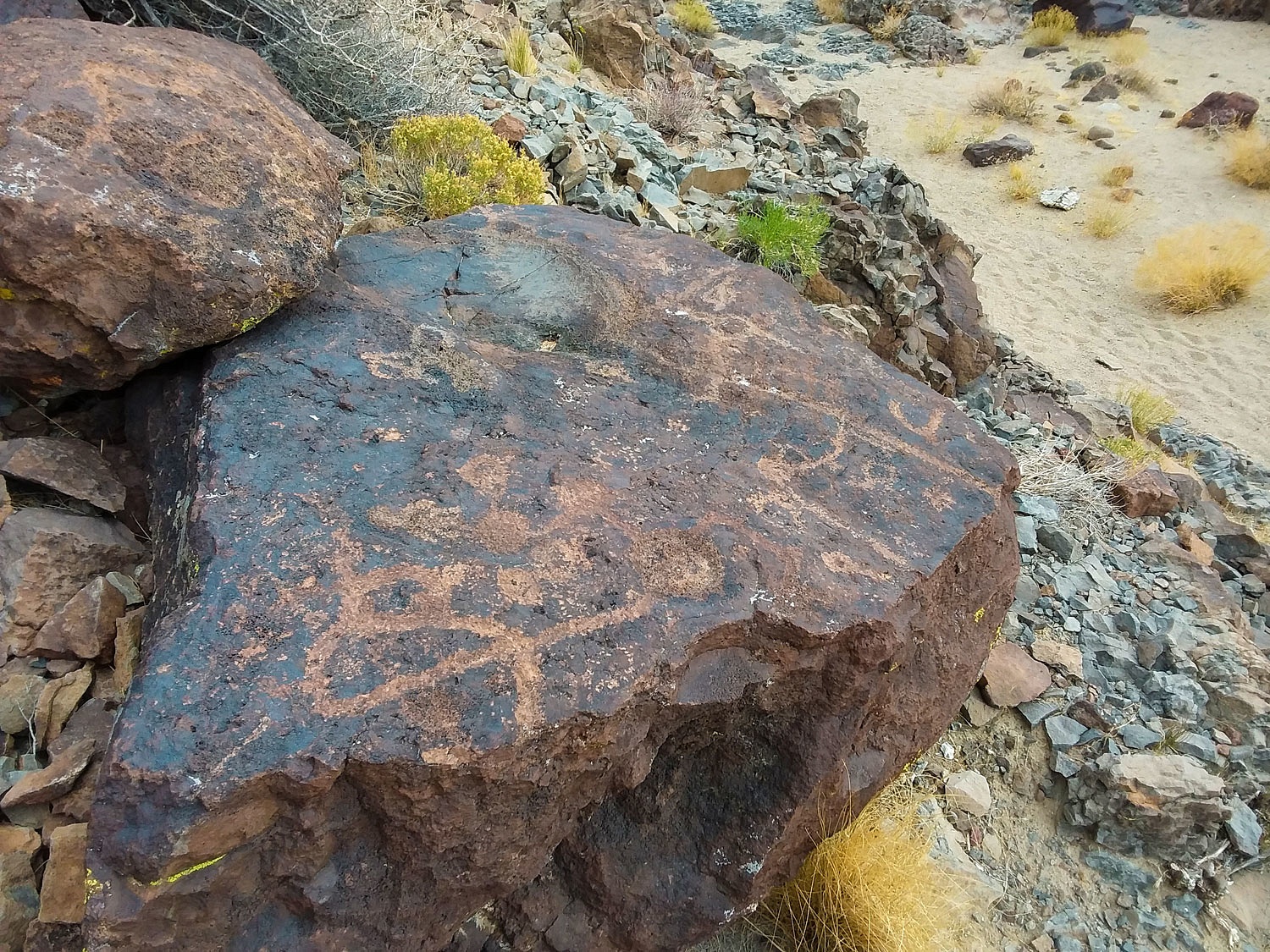
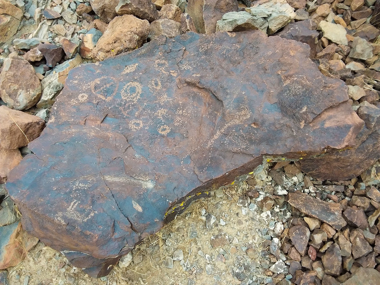
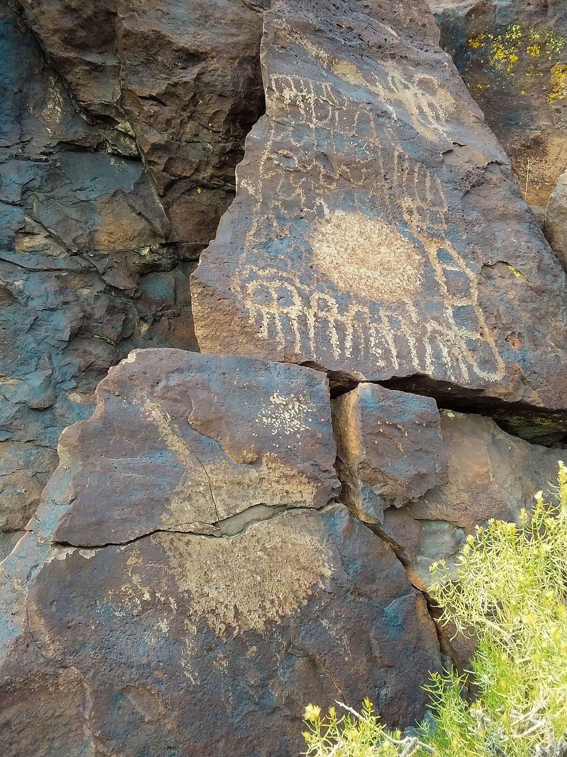
The terrain ends in a shallow box canyon. Four separate, short canyons drop into it. Ancient hunting blinds and rock art were thrilling to see.
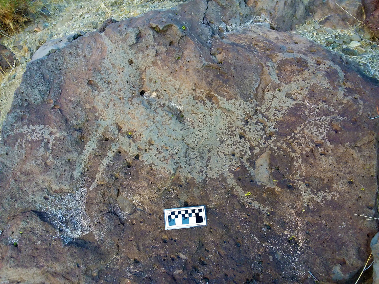
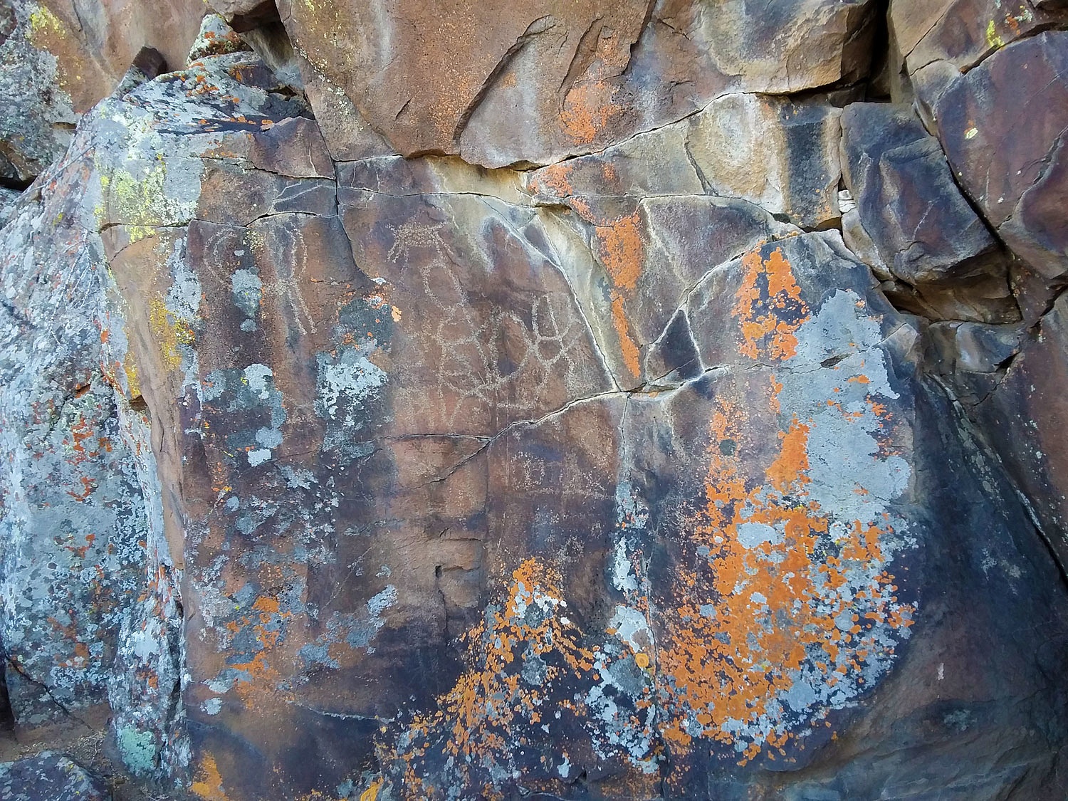
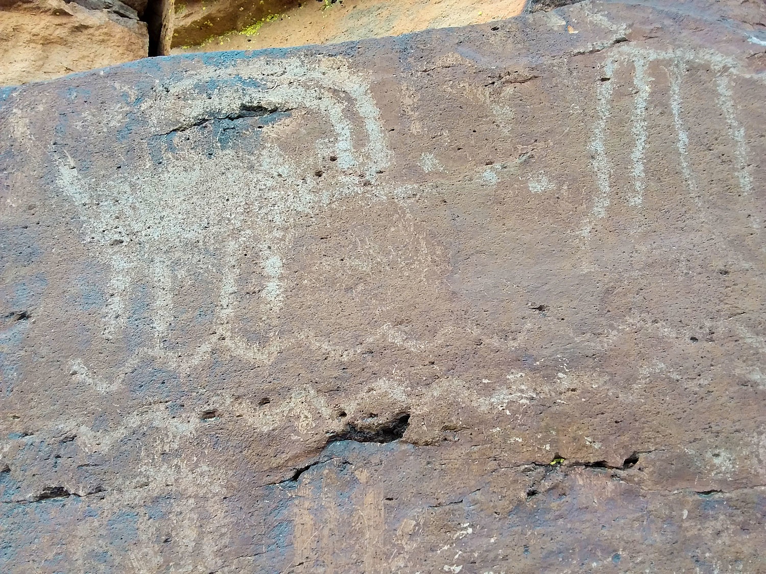
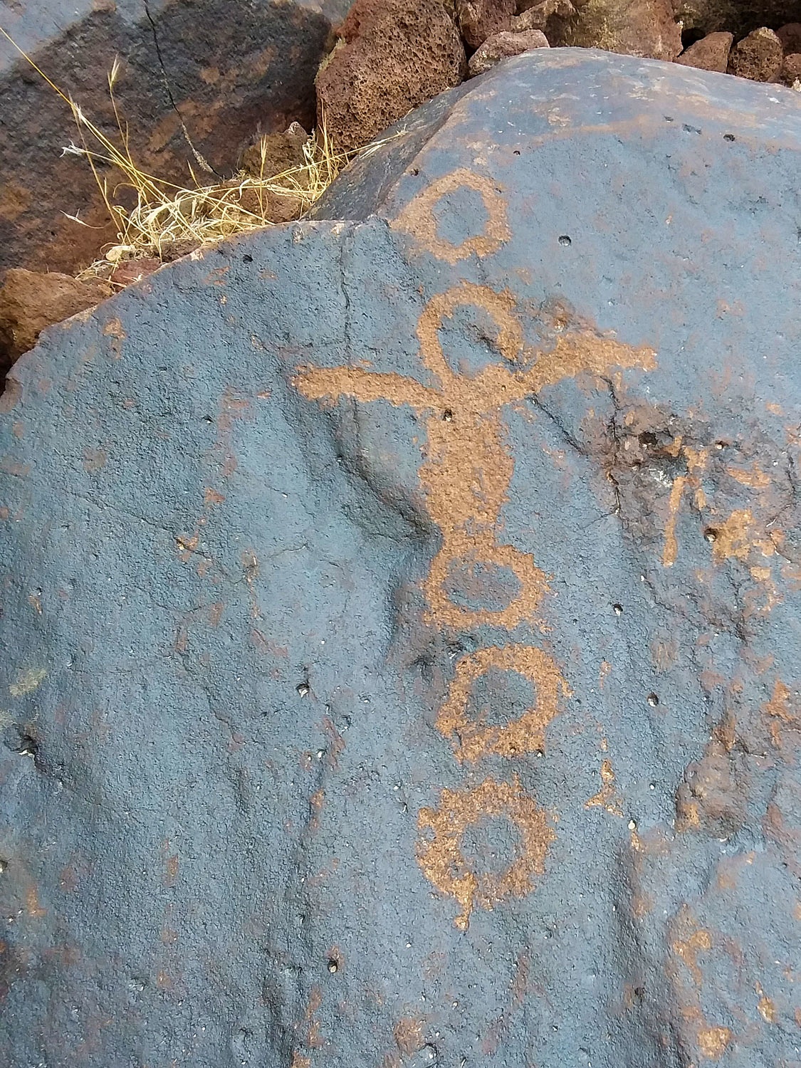
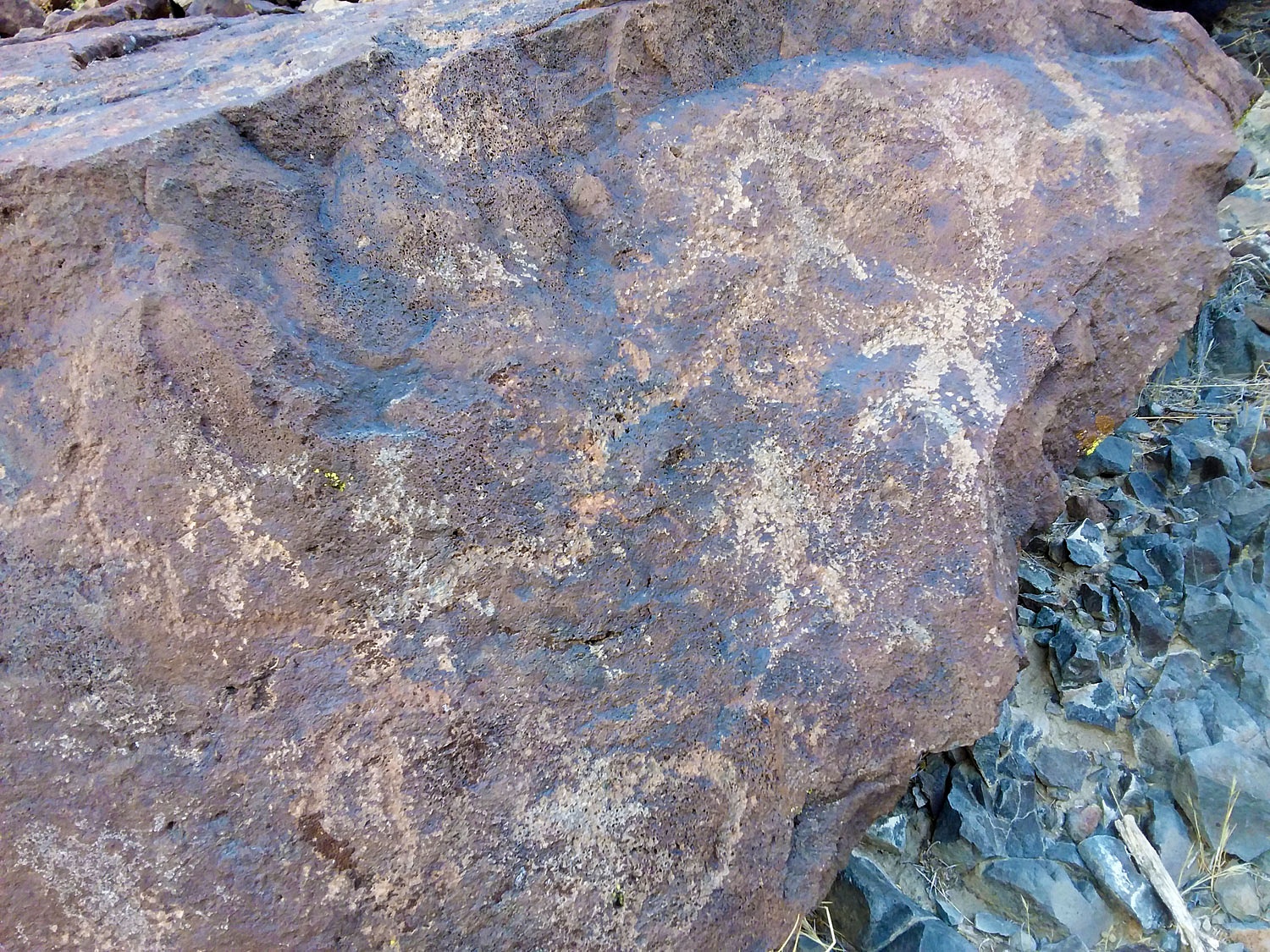
We explored further to the east then turned around, finding more interesting ancient art work. Several were so old that the desert varnish had reclaimed the rock.
This was a special way to spend a day.
We had the luxury of a little daylight left when we reached camp. We relaxed and followed the sunlight with our chairs as the growing shadows fought to take over. Dinner was our second night of turkey dinner leftovers. We ate the meat cold but warmed up the dressing and green beans in our frying pan. It was a perfect meal out under the cold night sky brimming with stars. The Lady insisted we would not go to bed until she saw a "shooter" streak across the heavens. She tried her best but was soon nodding off. It was time to climb into bed.
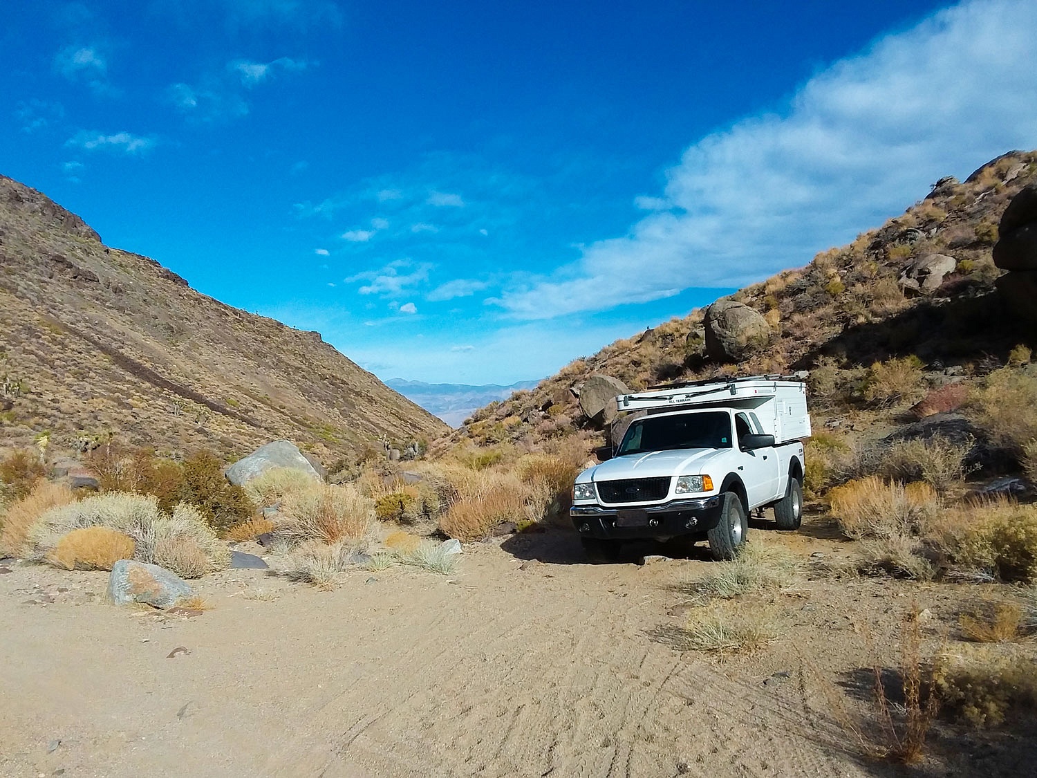
We packed up and moved the next morning. We had more searching to do, but for a very different type of historical artifact. We drove up a rugged canyon road that required 4x4 low. As we neared the area we wanted to explore, a perfect parking place showed up in this tight canyon. We did as I remember my Mom always saying, "Never pass by a great parking place to find a great parking place."
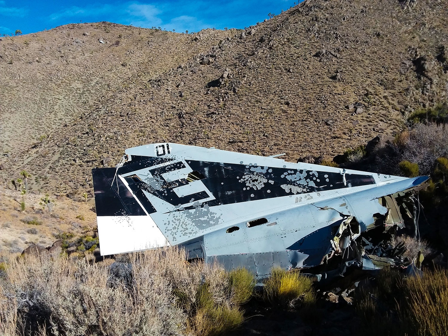
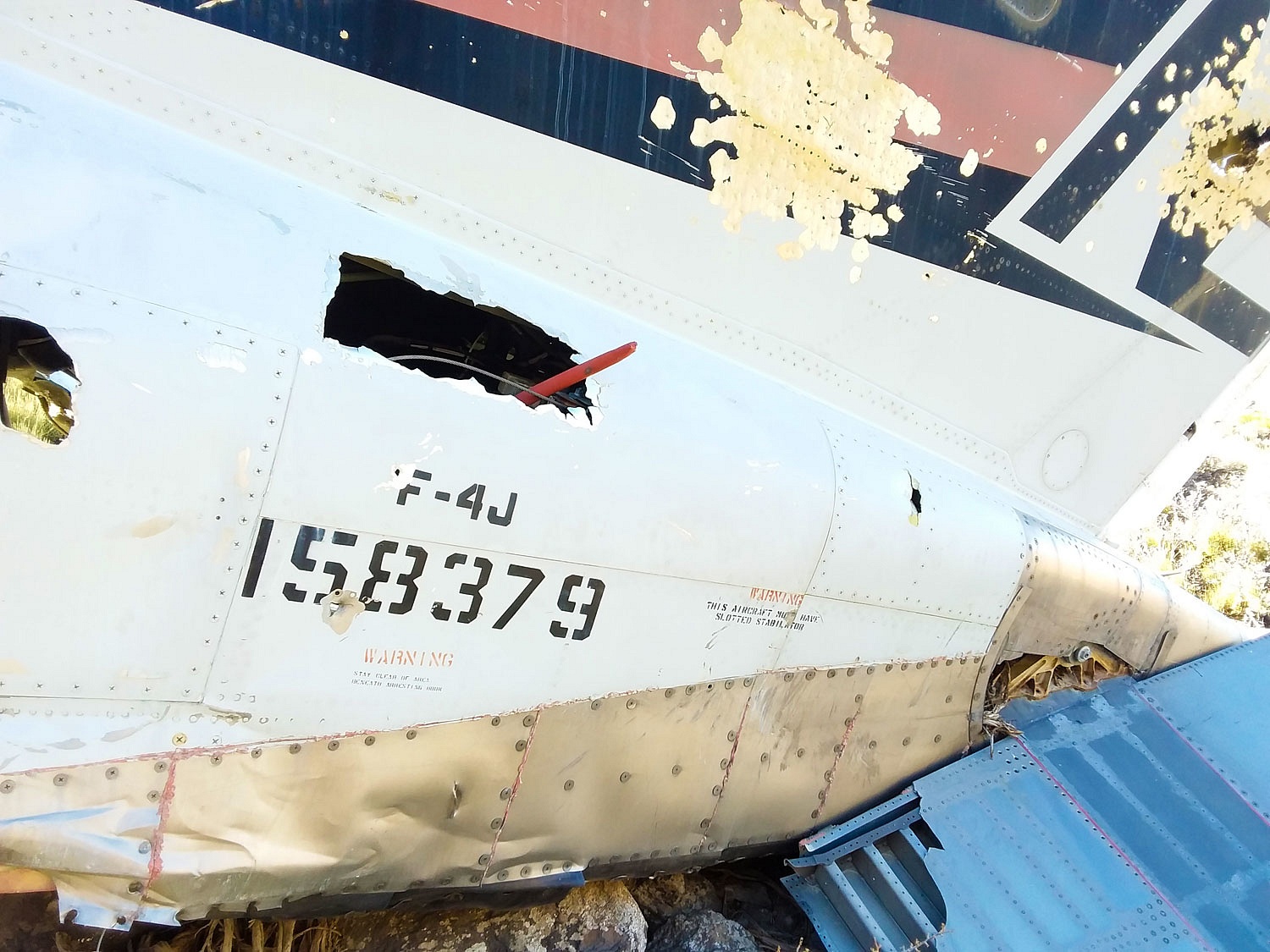
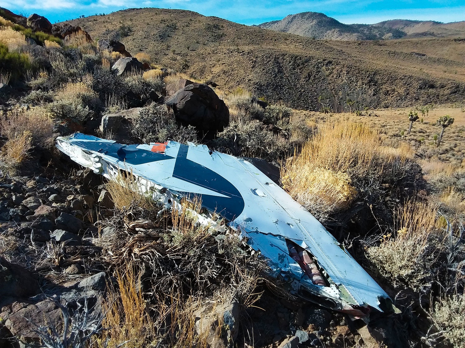
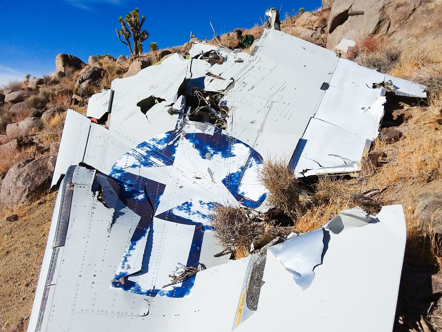
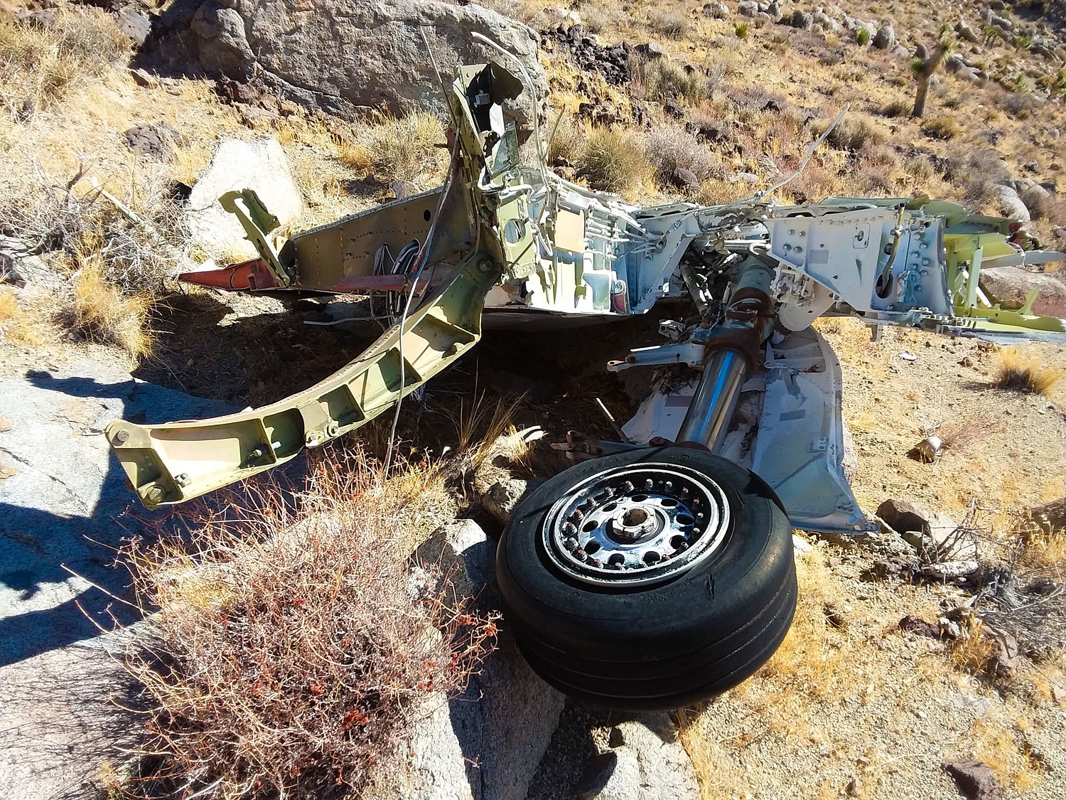
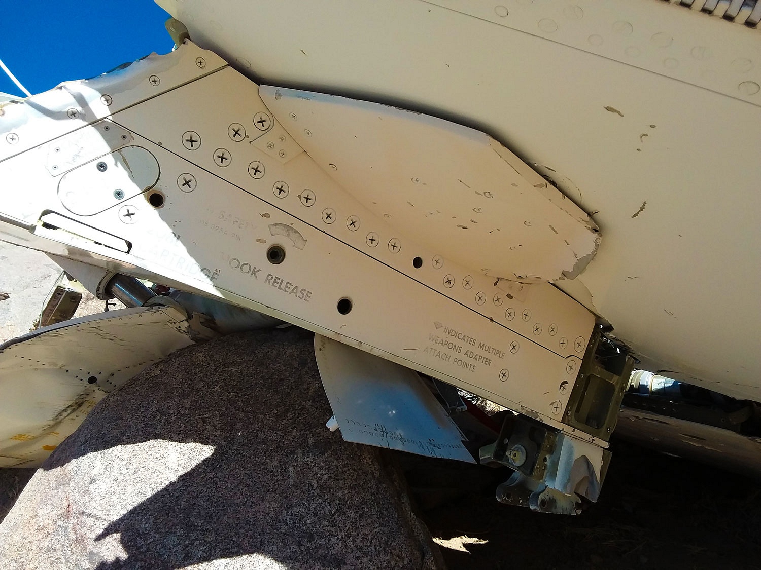
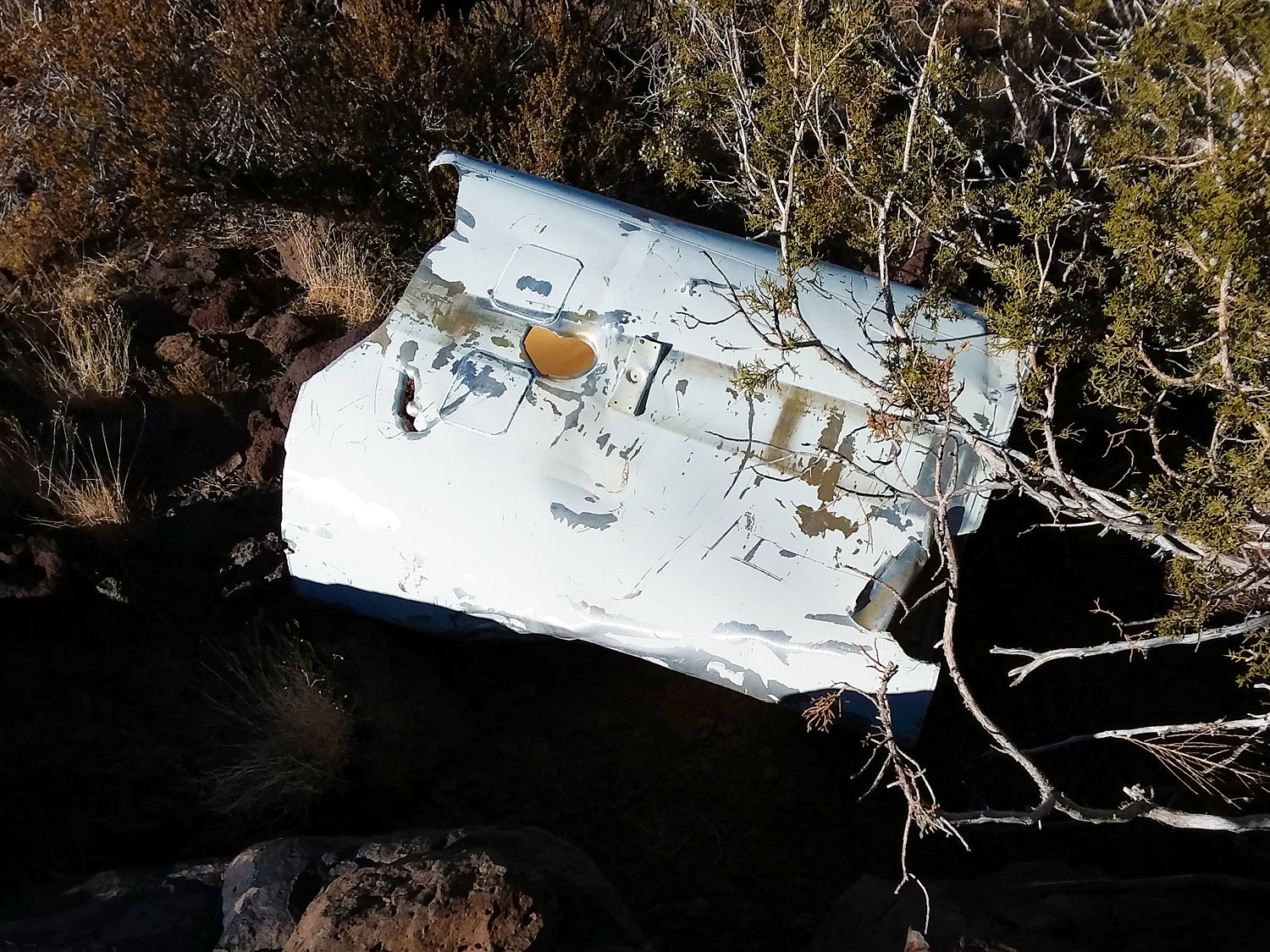
What were we looking for? On June 26, 1972 two U.S. Navy F-4 fighter jets collided during a training mission.
An interesting fact is that #158379 was the last F-4 manufactured and here it lies with pieces scattered across several square miles, intermingled with parts from the second F-4. It is critically important to be respectful of sites like this where one of our own lost their life. Those who gave their all should be honored. It was a bit haunting because always overhead were fighter jets training as we were so close to China Lake.
I had an X on the map for the location of a wing tip. The Lady took the bearing to the location from the map and followed it to the wing with her hand held compass.
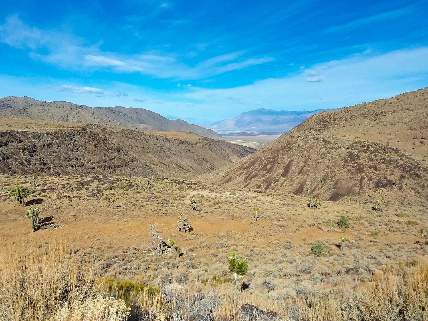
It was rough terrain to climb but the views were incredible down to Owens Lake with the Sierra Nevada crest beyond.
How did she do with her compass? She took us straight to the wing tip.
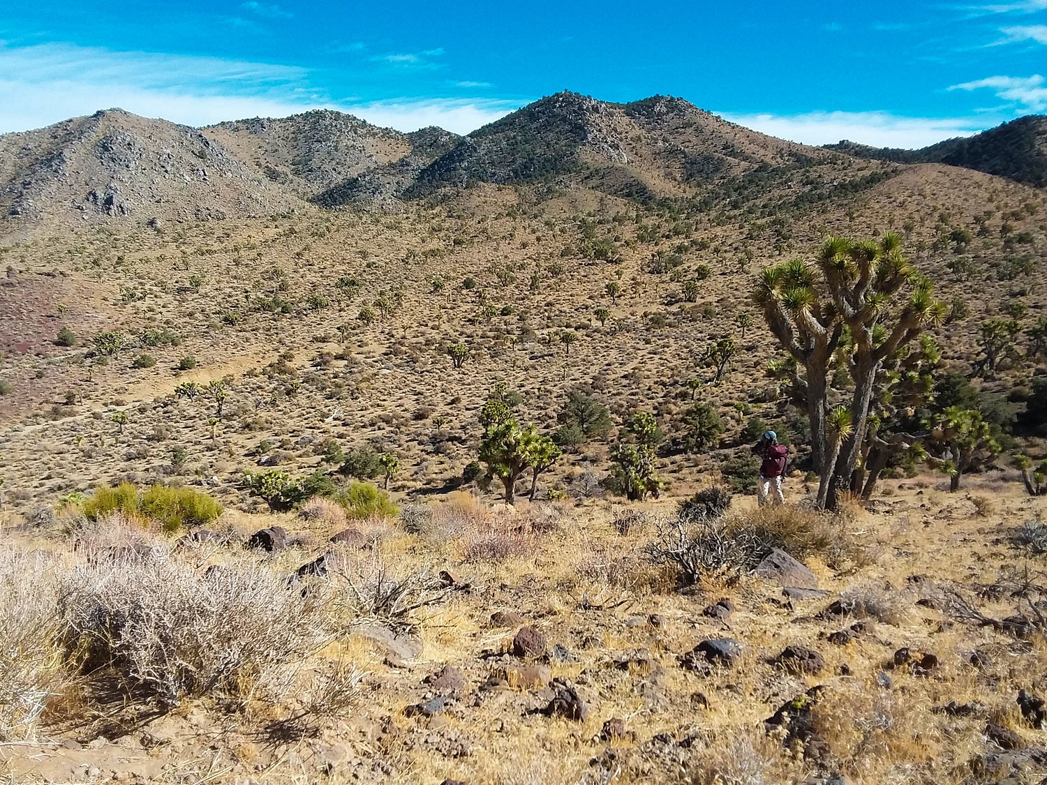
We decided to do a circle. We'd climb and follow the ridge south and then loop through the head of the canyon. We'd search the broad basin and then climb back down the canyon.
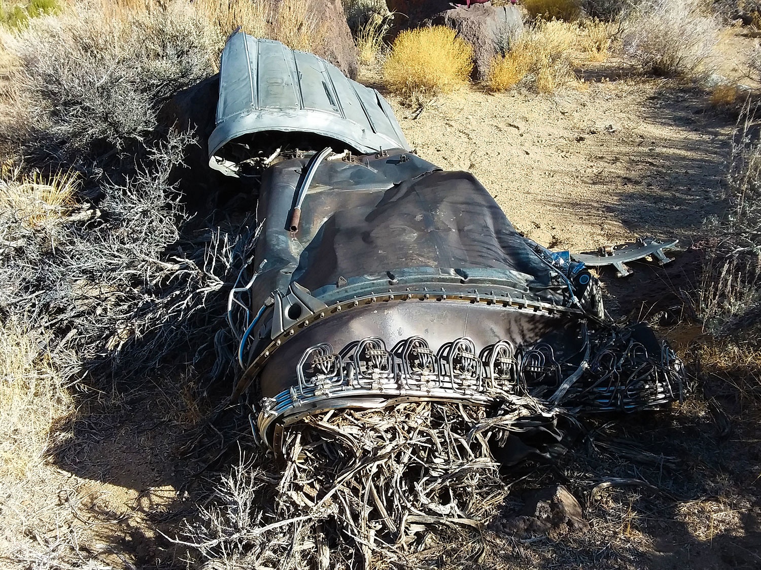
Back in the canyon, we were surprised to find what I believe is an afterburner assembly off of one of the jet engines.
We climbed steeply out of the canyon to the opposite ridge line. We then hiked north to where we could climb down to the left wing.
We reclaimed the ridge top and hiked north. Far out to the east was a piece of white. The day was already late and we worked on the time and figured the detour over and back would add 40 minutes. We worked our way across the terrain to a short section of fuselage under a juniper.
We had already covered a lot of ground crossing rugged terrain. We pulled out the map to plot a way down back into the main canyon and return to our waiting truck. A low saddle was ahead of us to the north. The contour lines indicted a bit gentler terrain on the opposite side of the saddle that led into the canyon. We traversed over to the saddle and worked our way west dropping and dropping in elevation. The terrain was easy, too easy it seemed. It started to feel like a trap. The saddle narrowed into a steep canyon. It became obvious that bands of cliffs lay below us. It was time to turn around, back track, and reclimb all the elevation we had just given up. Not only that, but then climb from the saddle to the high point on the ridge to scan for a better way down. This was the best decision, and looking at mountain accident reports, a hard decision for some to make. It is late in the day. Darkness is coming. It is cold. It can been so hard to turn around. Why not just press on and get out of here? Many times that is the decision that leads to disaster.
We turned
around and climbed. From the summit we saw no easy option but we did see one
clear route that we could safely descend with care. We did not hurry. We
reached the canyon bottom and the road at a spot below where we had parked.
Although close to the truck, we stopped and ate food and drank water. This simple
stop refreshed us and put a little hop and skip in our steps as we walked up to the
truck. It had been a long hard day, but a very good day.
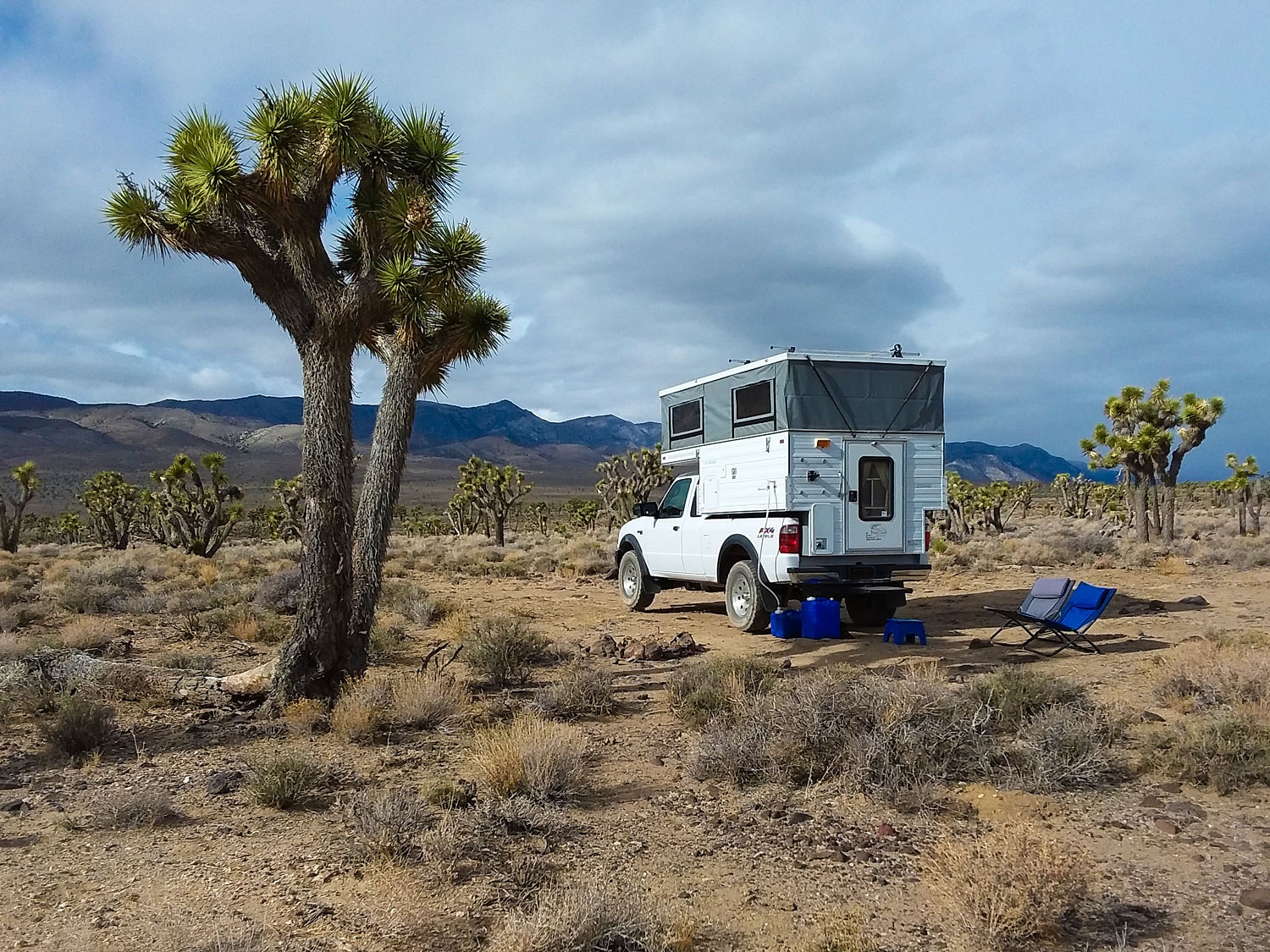
We still had a few minutes of sunlight. We prefer wide open places to camp and this canyon bottom didn't cut it. We crawled back down the canyon in 4 low and pulled in the first wide open spot that would work for a campsite. We popped the camper top up just as evening light settled around us.
We had thoroughly enjoyed our time in the Coso Range Wilderness and are so pleased that outstanding landscapes like this are protected and preserved as Wilderness. Sometimes we get things right.
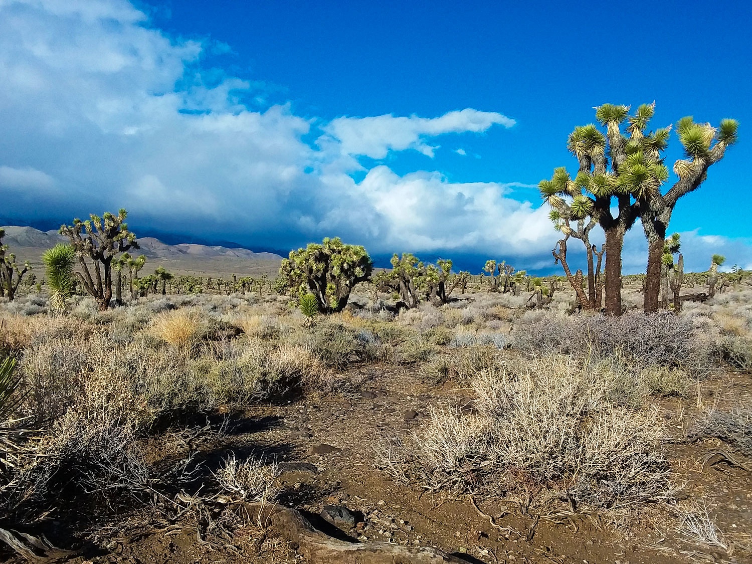
Clouds were rolling in Wednesday morning. The wind direction had changed and its speed was building. Weather was coming in. We had planned to continue on to Death Valley, but with this weather it would not be wise to go where we had planned. Off in the distance to the northeast was the Nelson Range. With petroglyphs still on our minds, we decided to return to a rock art site we had visited before.
It looked like rain was eminent as camp was set up. The Lady brewed up a cup of hot chocolate for both of us.
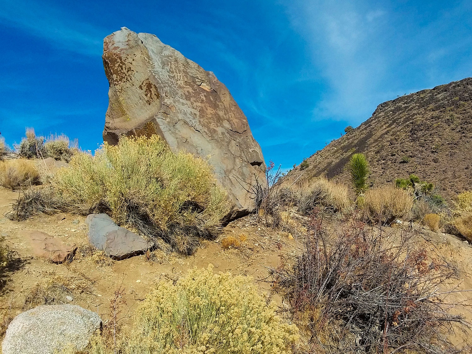
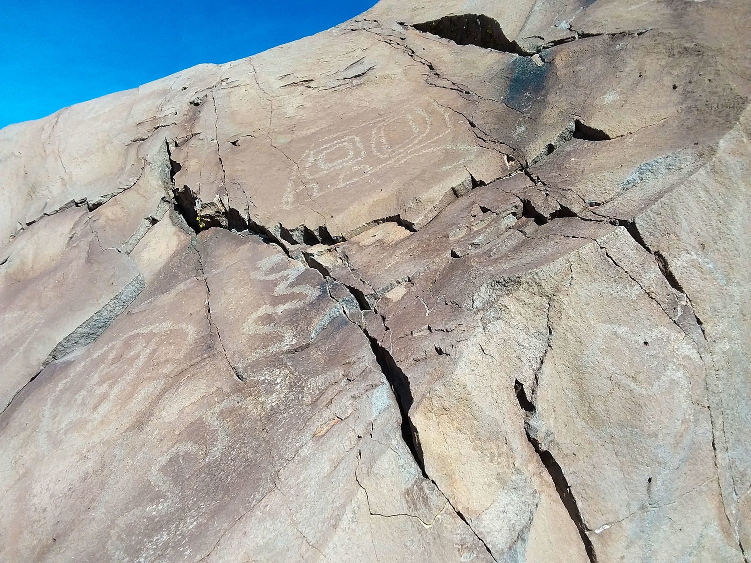
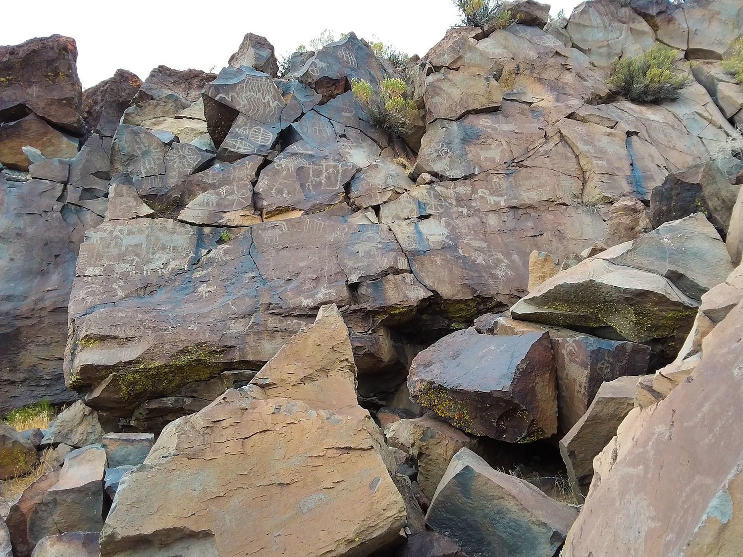
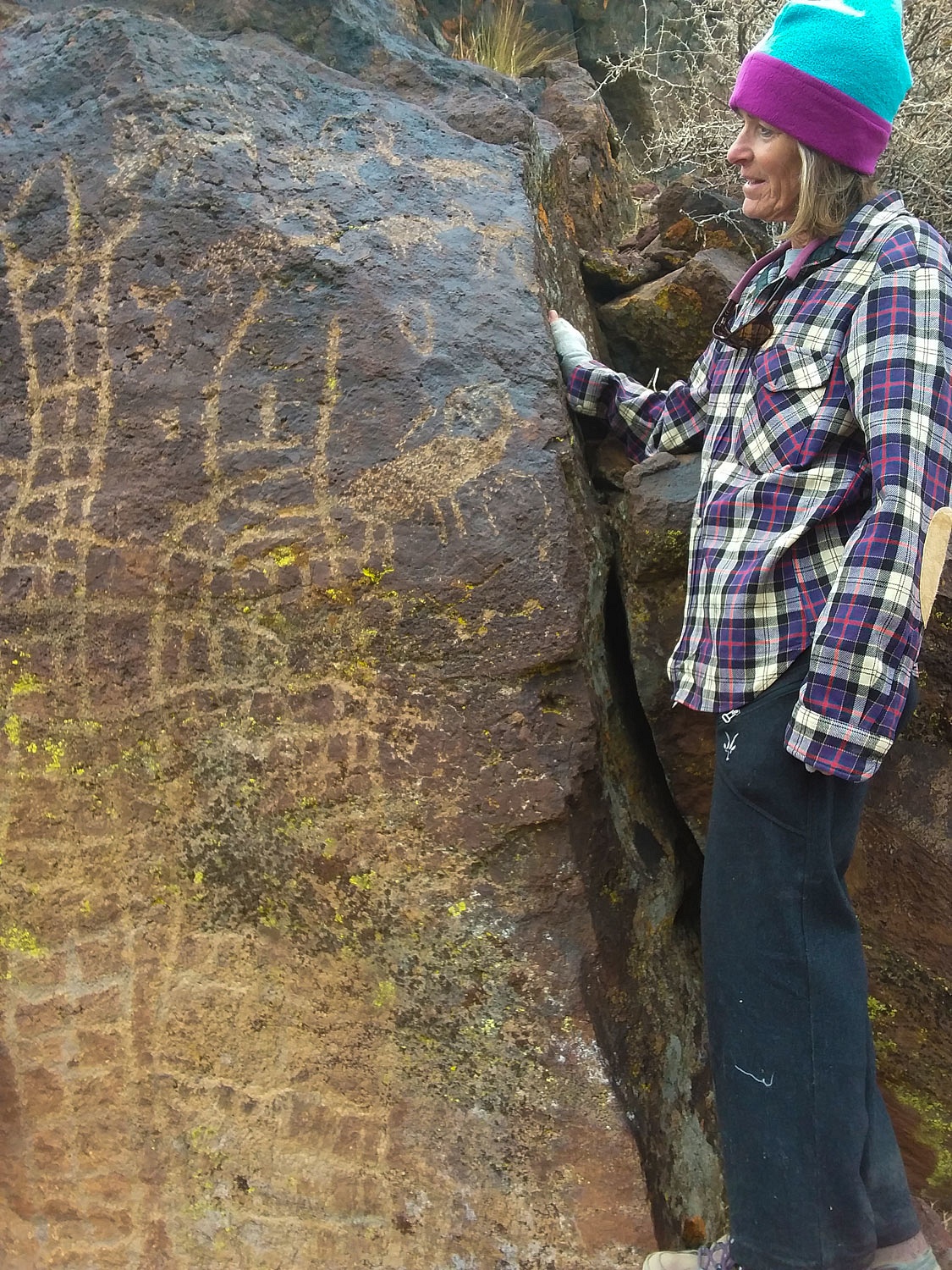
Since we have good gear and are equipped to deal with poor weather, we donned our packs and started cross country. The Lady pointed out the bearing, picked out a far distant object on that travel line, and we hiked toward it. She also looked back often and pointed out the hump on the distant ridge line we'd walk toward on our return to the truck and our cozy comfortable refuge. We were greeted by wonderful rock art displays when we dropped into the canyon.
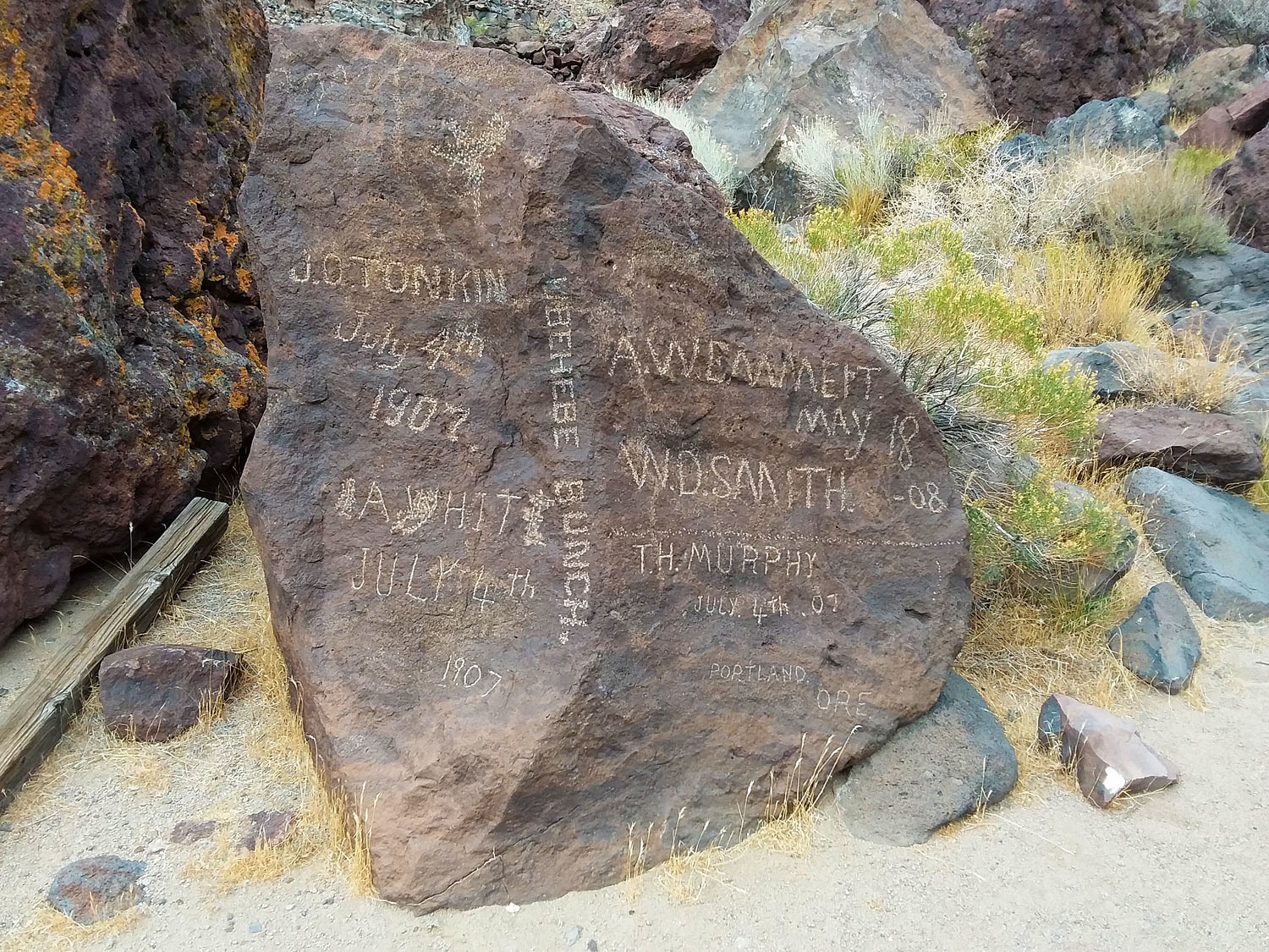
This canyon was also used by white men as a route to the mining districts in the Death Valley region. They also left inscriptions.
It rained a bit on us as we climbed up into the cliffs above.
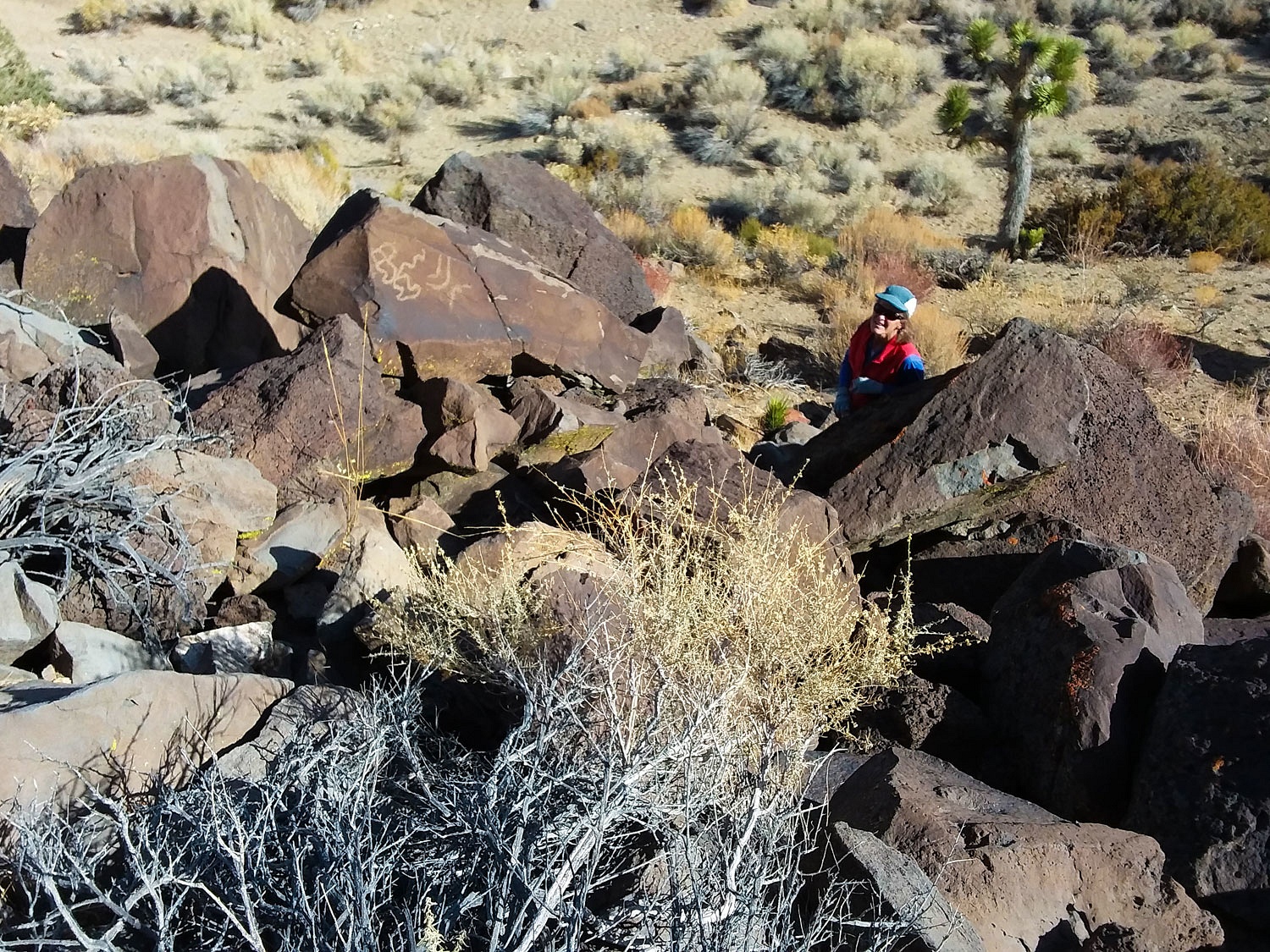
We noticed that the cliffs have eroded and broken off since the time of the ancient artists. Petroglyphs were found on broken chunks of rock that had tumbled down the slope.
The Lady continued to climb and explore. Her call was nearly continuous, "Oh wow! You have to see this one!" And, I'd have to figure out a way to get up to her.
The afternoon was now late but with good light remaining for an easy return to the truck. Clouds were low on the Inyo Mountains. Cold and wind hit us in our faces as we hiked.
We showered
in the cold wind that stripped the water off so efficiently we hardly needed to
towel off. The 36° temperature told us snow level would be a 1000 feet higher.
We climbed into bed early after another long and invigorating day outside. Oh,
we sleep so well. We knew the storm was coming and wondered when it would wake
us.
We both got
up to pee around 2 am. We were shocked to see bright vivid stars overhead, not
a cloud in the sky. Was the storm passing us by?
Wind pounded
the camper starting around 4 am. Rain slashed against the camper. It woke us
up. It was a hell of a storm. We dozed off for short times before another savage
gust rocked us awake. The rain paused and the Lady took advantage and made a
quick trip outside of another bathroom break. I should have done the same. My bladder
and I waited for the next pause that never came. We slept in, although, with
the darkness of the storm it did not feel like it.
The weather
abated mid morning. We climbed out of the camper and enjoyed the scattered rays
of sunlight with the mountains still shrouded in clouds.
We needed to be home Friday so we headed into Lone Pine. With the storm, chain controls were up on all the roads toward home. There was no need to head into that with the weather forecast showing better weather Friday. A call to Benton Hot Springs revealed we'd have most of the campground to ourselves. I don't need to add anything more here, do I?
After a
wonderful quiet night at Benton, we had a relaxing drive Friday morning,
arriving home just as the next storm hit. Little Red, our sub compact tractor
with 50" front mount snowblower got some exercise the next couple of days.
Snow is on
the ground here at home. Winter is here.
That's it
for this adventure. It was a grand time searching for rock art and fighter
jets.
Oh - I can't leave you hanging. If I forgot the camera, where did the photos come from? A little further down 395, after the realization the camera was left at home, I asked the Lady to look at our 8" Samsung tablet. Did it have a built in camera like so many of those smartphones? It did and I figured out the basics of using it when I gave up trying to find a viewfinder.

