please remember you can click on a photo to see a larger
version
Yeah, we
know. It seems we just cannot stay home. The Lady is back to school and the
kids are back. It is proper to ease back into the teaching schedule with a
necessary outdoor break over the weekend.
The truck
was packed and ready to go when the Lady got home late Friday afternoon. You
guessed it; we dined in the garden setting at Walker Burger for supper. It was
still light when we reached Ted’s Dunderburg campsite.
The area was
fairly busy, busier than we’ve seen it in the fall, with a polished small
airstream a short ways in. It was perched on a high point for the commanding
view. A cabover truck camper was tucked into the trees further in. And somebody
was in Ted’s spot!
“What’s with
this?” I said, “And they’re not even in a pop up camper!”
This, in my
mind, approached sacrilege. I wanted to call Ted, get him up here, and roust
these people out. The Lady wouldn’t let me.
“I’ve always
wanted to camp lower down on the point in the open,” the Lady explained. “Let’s
go!”
The spot was
wonderful and out of sight of other camps. We sat out and enjoyed the evening
and the expansive views. Morning was even better, except for the layers of
smoke from this summer’s onslaught of wildland fires.
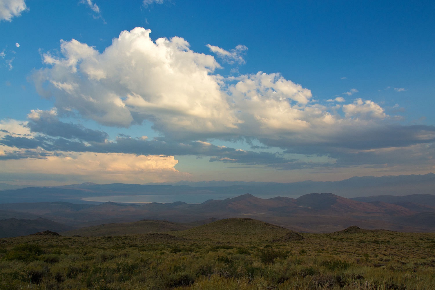
Mono Lake
before dawn.
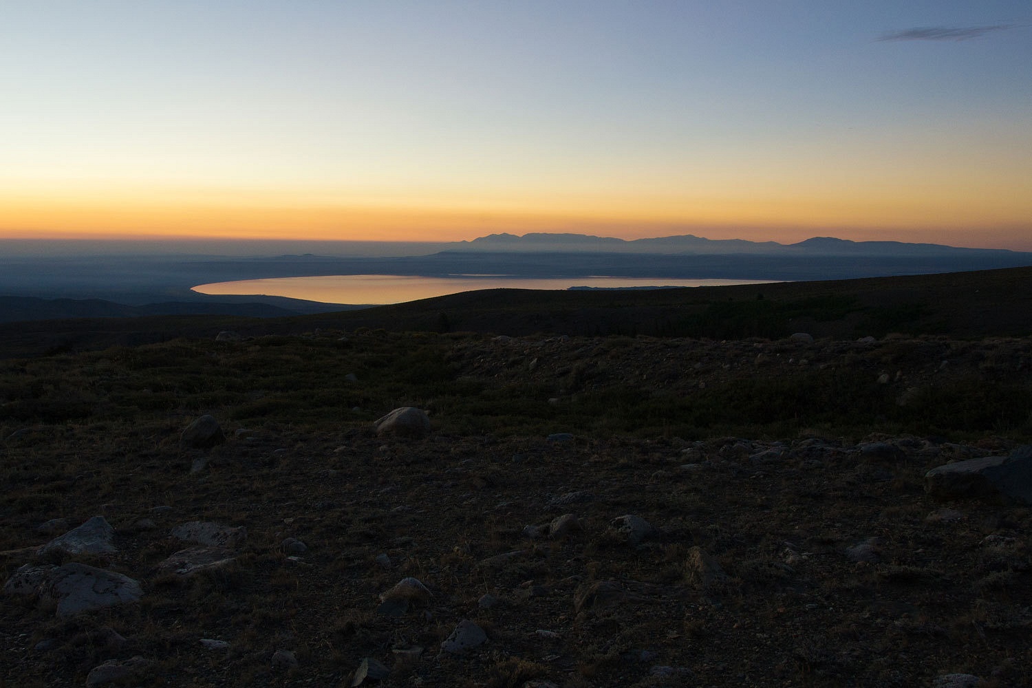
Northwest
toward Bridgeport and the Bodie Hills to the right.

The sun rose
out of the smoke to signal the day’s beginnings.
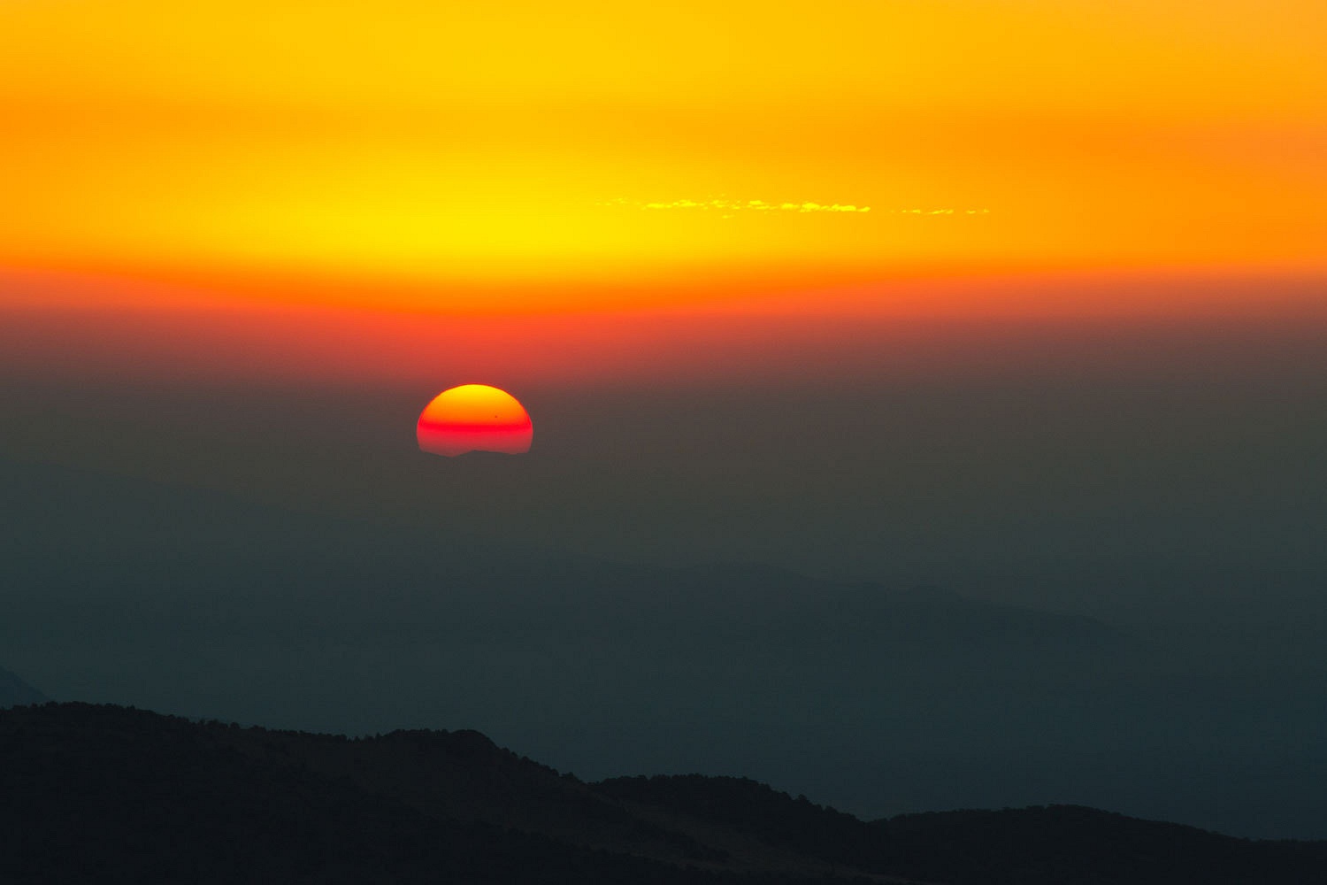
It also
illuminated the layers of smoke that had laid in overnight.
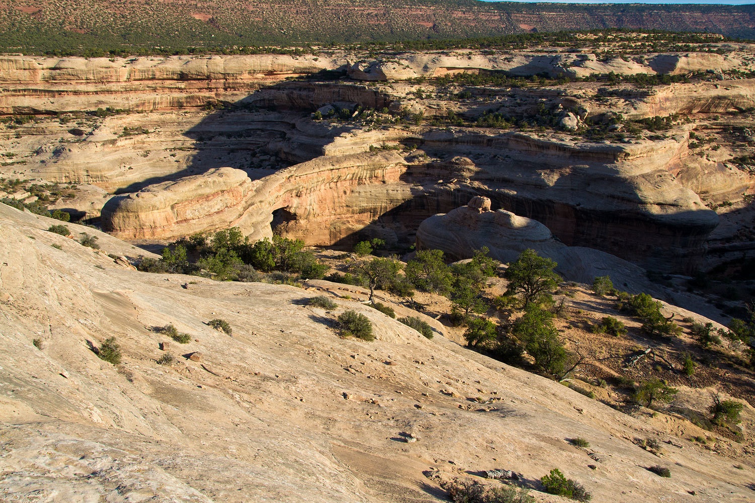
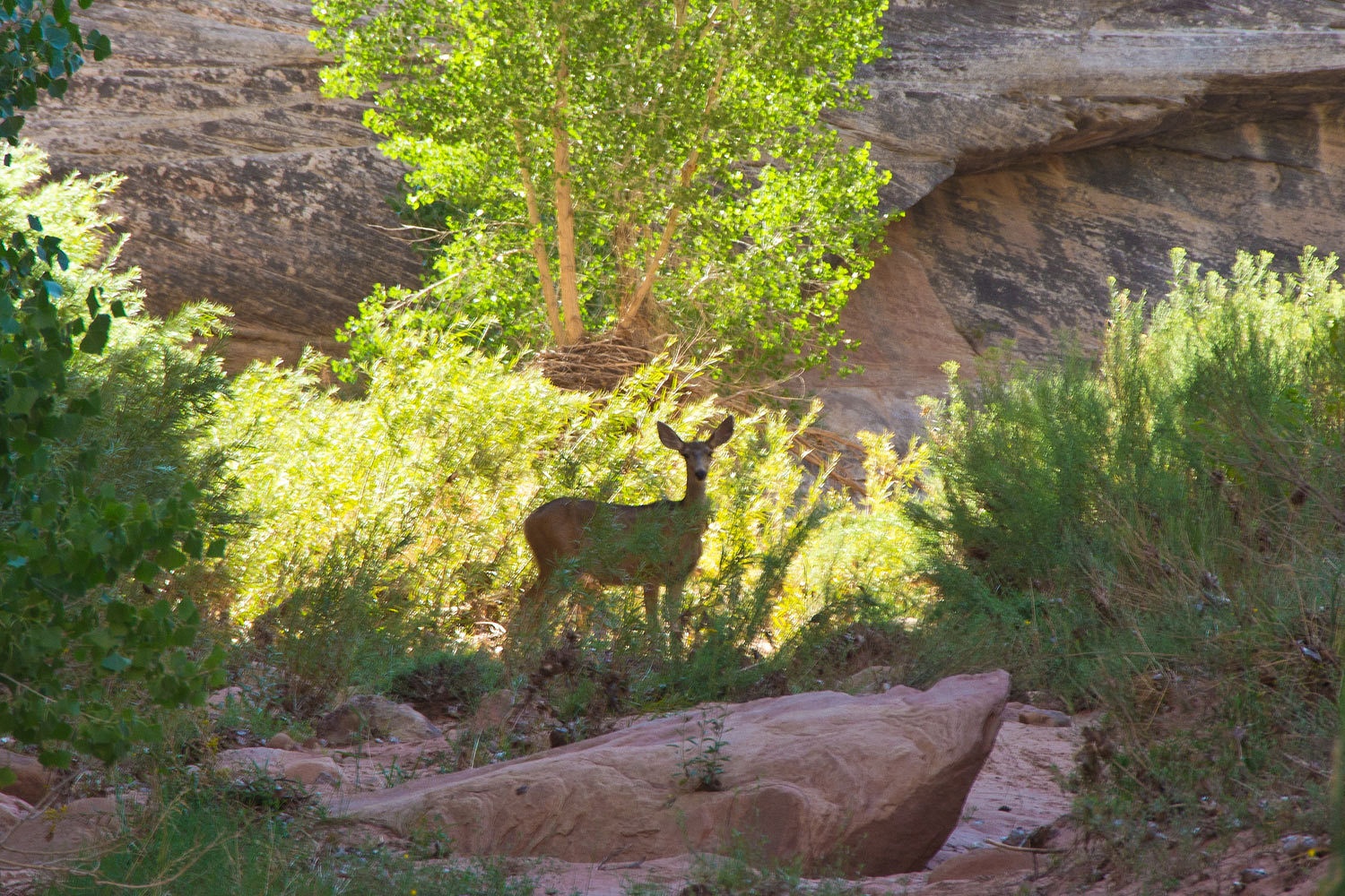
On Saturday
we wanted to check out Jordan Basin to the south. We had seen the signed
turnoff onto a primitive road many times. MarkBC’s trip report on Wander the
West from his visit last fall also called our attention to it. We had our topo
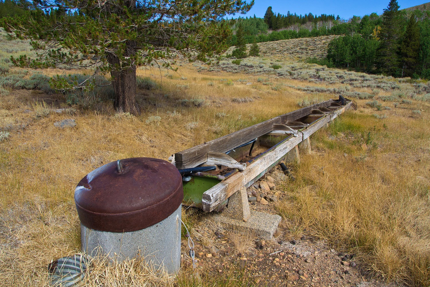
maps and navigated our way around the area. We found Jordan Springs.
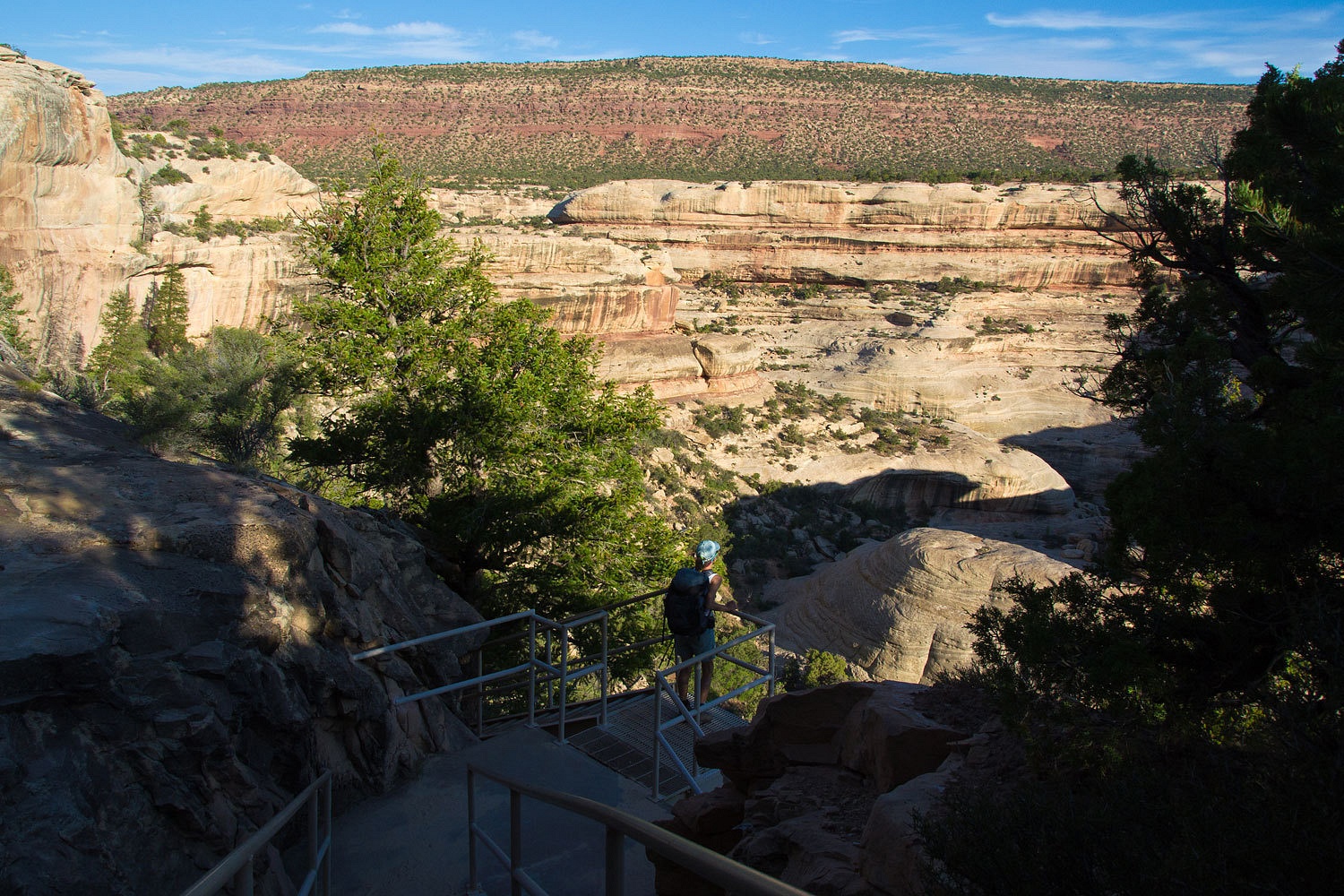
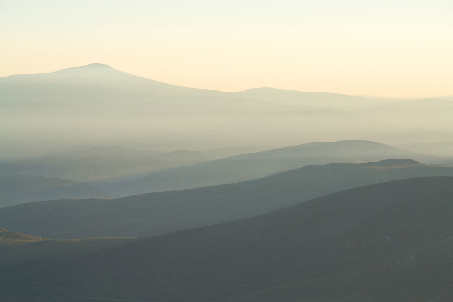
We
discovered the eastern highpoint that offered views down into Lundy Canyon and
also the expanse of Mono Lake to the east.
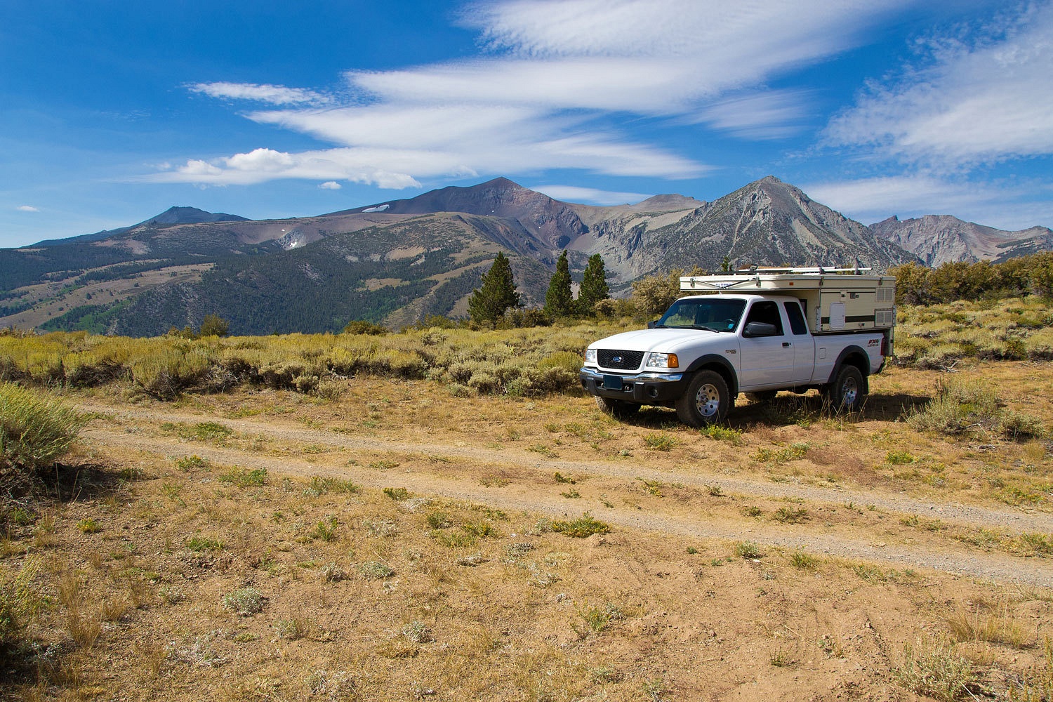
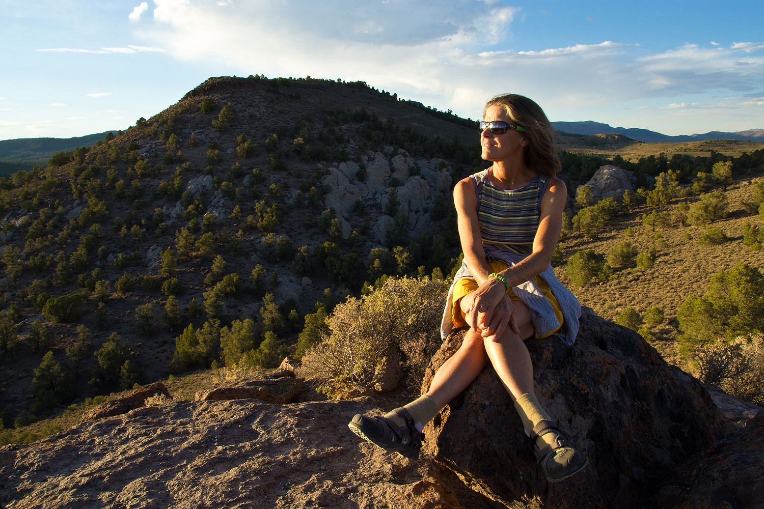
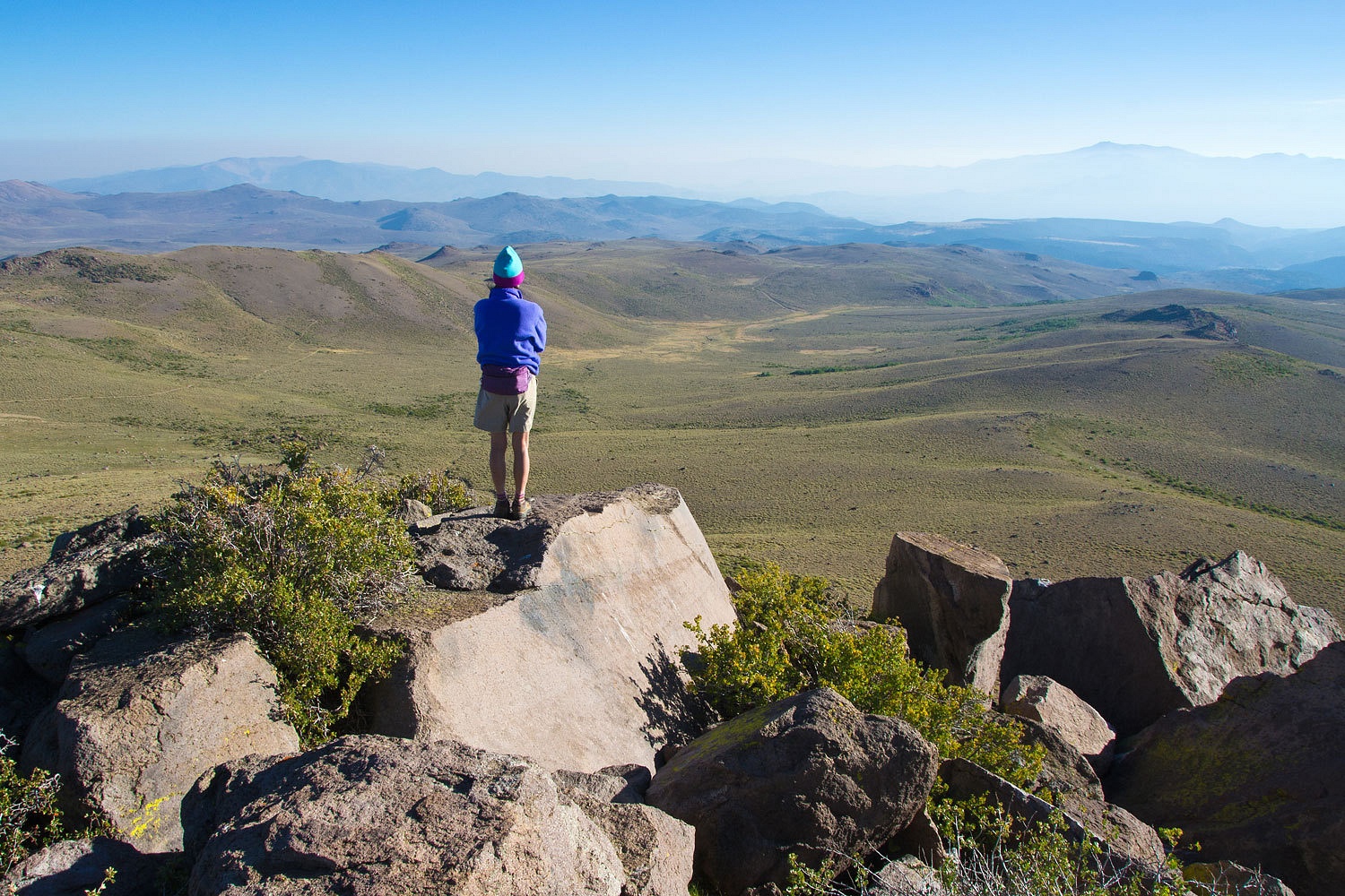
Copper
Mountain’s summit was a short hike.
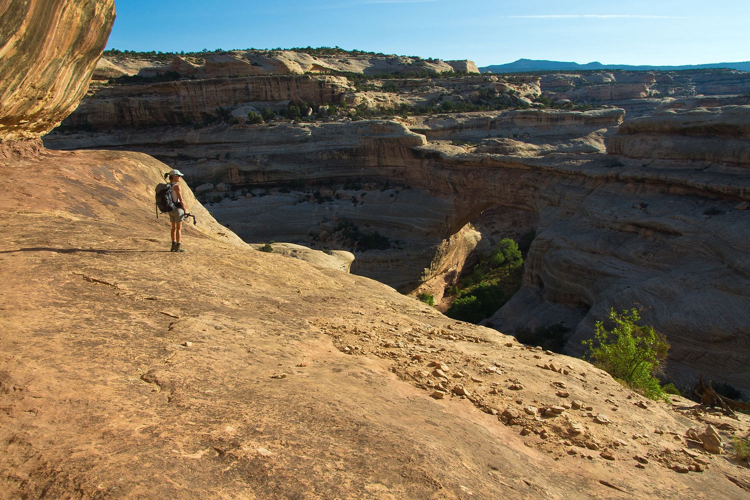
It offered a
wonderful panorama of Jordan Basin with Dunderburg Peak to the north and upper
Lundy Canyon to the south.

We further
explored the basin and learned as many of its secrets as we could. Because of
clouds coming up the Sierra Crest from the south, we decided to head over to
the Bodie Hills to spend the night.
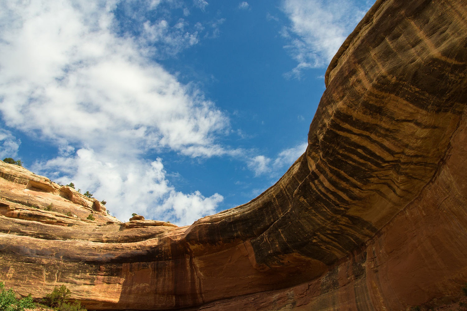
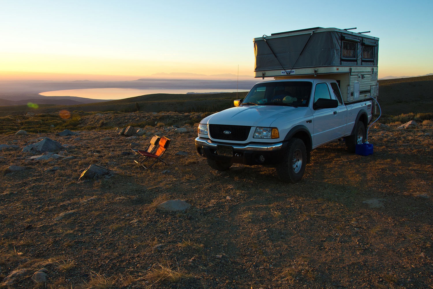
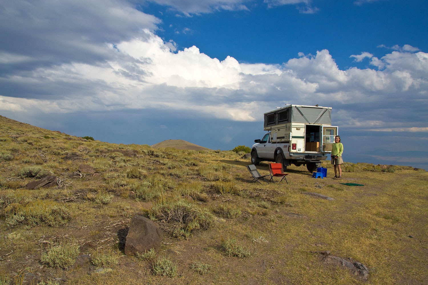
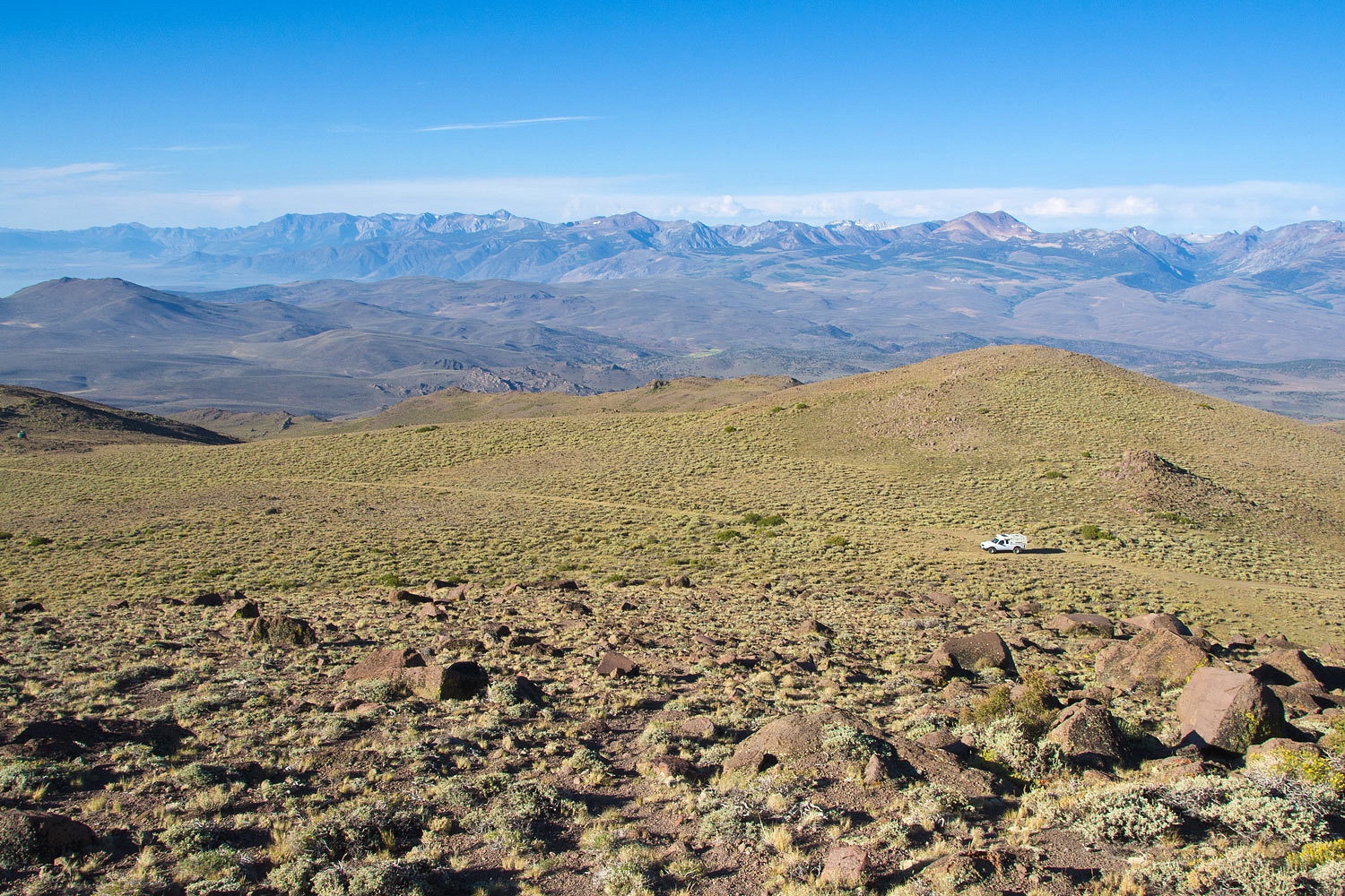
On our last trip to the Bodie Hills we discovered a rough four wheel drive road that gave
access to a saddle just to the west of Potato Peak’s summit. At 10,000 feet it
also offered an amazing view of the surrounding area. We set up camp.
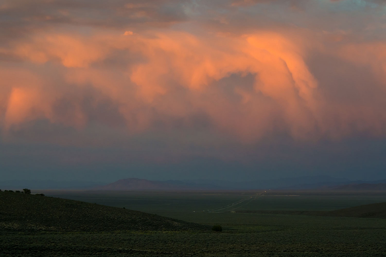
A line
of thunderstorms was approaching this area from the southeast and east. It
looked like it would skirt us to the east but it then moved into the East Walker
Canyon and moved over Bridgeport and continued south. It had circled our
highpoint. We sat in our chairs and watched spectacular lightning strikes. We counted
after each bolt of light. The main storm activity remained 3 to four miles
away. It did back a bit in our direction and a smattering of rain drove us
inside. Another large storm developed just east of Bodie. Flashes and booms of
thunder came repeatedly from that direction. We expected we may take part in
a science experiment to test out the idea that vehicle tires offer enough
isolation from a lightning strike ground.
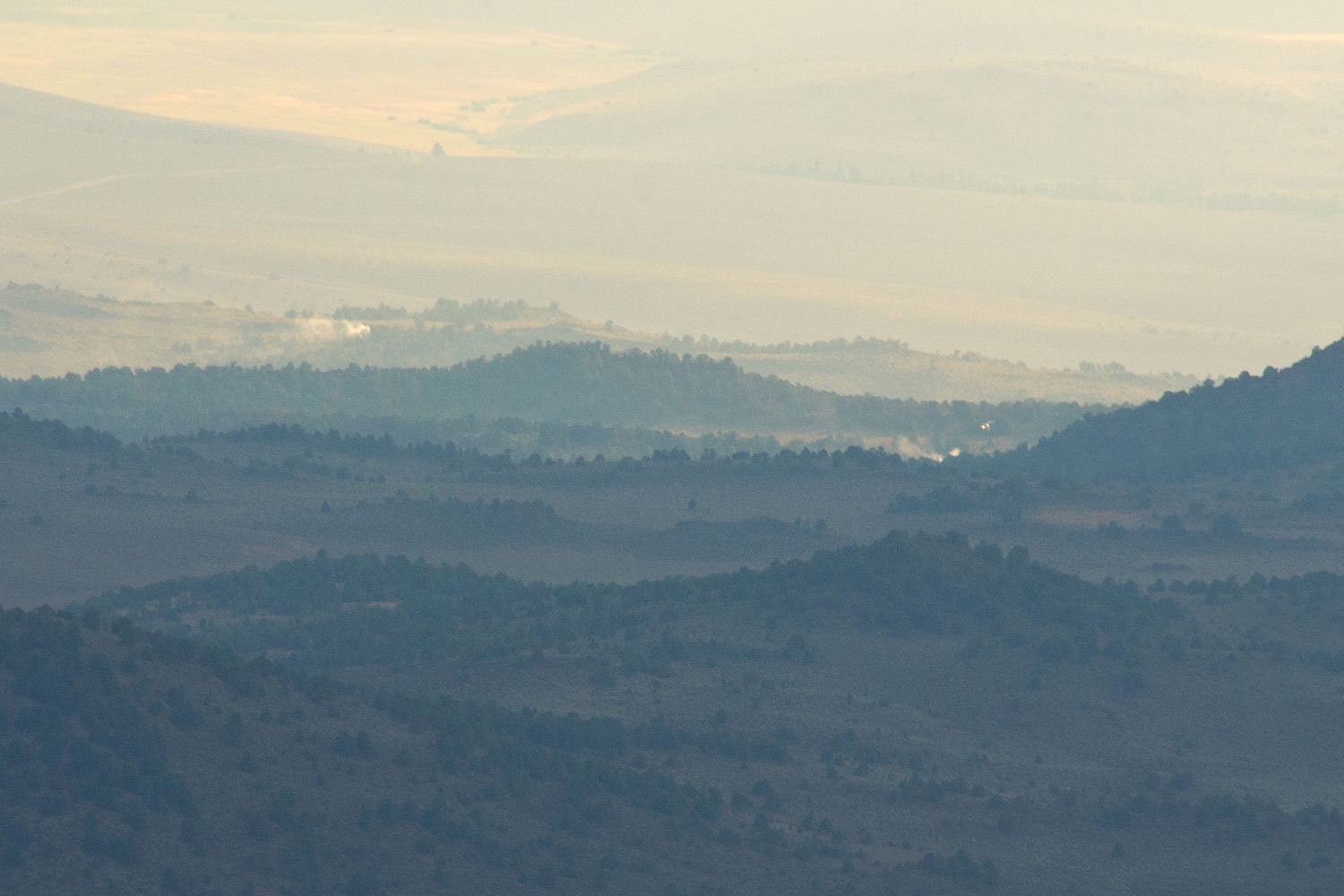
The rain
passed and we ventured outside. From our highpoint two new lightning strike
fires were visible.

We grabbed a
compass, binoculars, camera, and cell phone. I took a bearing with my handheld
compass. Surprised there was cell service, I called 911, was routed to fire,
and reported that the fires were on a line 243° from Potato Peak, that would put the fires just east of 395 and Willow Springs, in the lower
Bodie Hills, in juniper and pinyon, A
half hour later a helitac crew responded and started in on the small fires. The
helicopter can be seen just to the right of the smoke furthest right.
The storms
were breaking up as evening came on.

Mono Lake
was to our south.
These storms
also ignited a fire to the east of Bodie that was not spotted until Sunday
morning. The Spring Peak Fire threatened Bodie and the state park and roads
were closed most of the week.
We enjoyed a
long walk in the evening.


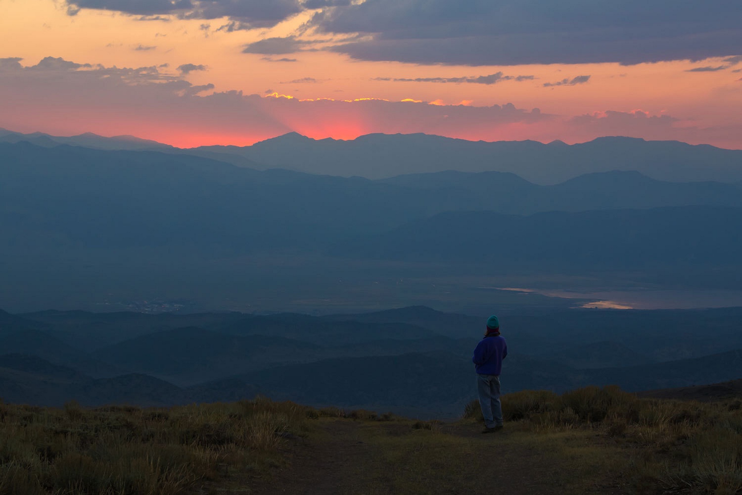
The air was
still hazy with smoke the next morning but this still was a great spot to wake
up.
A line of
thunderstorms was already active just west of the Sawtooth Ridge and the Sierra
crest.
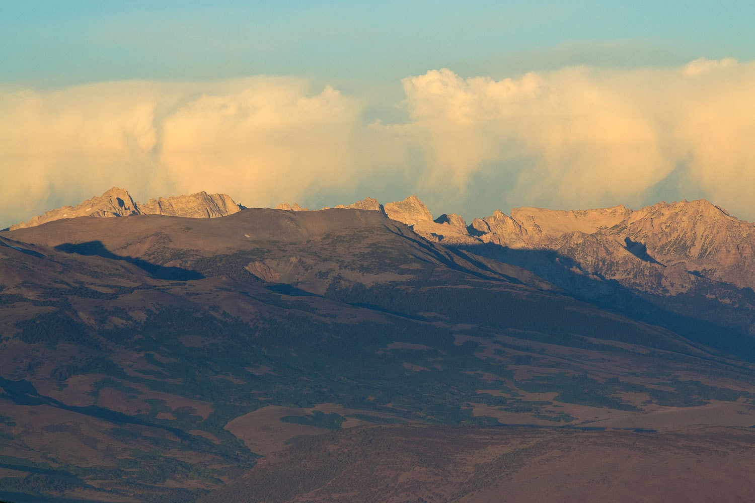
From our
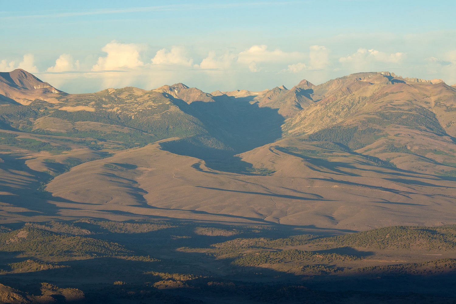
vantage point the Green Creek drainage was an incredible illustration of
glacial moraines and a glacially carved canyon.
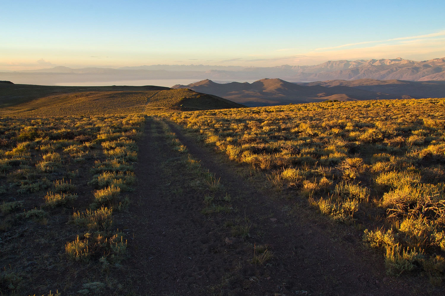
We buttoned
everything up, dropped the top, and went to the top of Potato Peak for the
morning view to the east………………..
…………………..and
to the west and our high lonely spot.
It had been another adventure.